Seven Flat, Stroller and Family Friendly Hikes in the Conejo Valley
/There is a ring of about 15,000 acres of open space with 140 miles of trails for public use surrounding the Conejo Valley. All too often on the Conejo Valley Guide Facebook Page we hear requests for which trails are "stroller friendly" and/or suitable for young children. Here is a sampling of some of the more popular ones in the area.
Wildwood Park to many is the single greatest spot for family hikes and stroller-friendly trails. With 14 trails covering 17 miles, including the popular hike to Paradise Falls and the teepee as well as some wide, relatively flat sections along the Mesa Trail towards Lizard Rock.
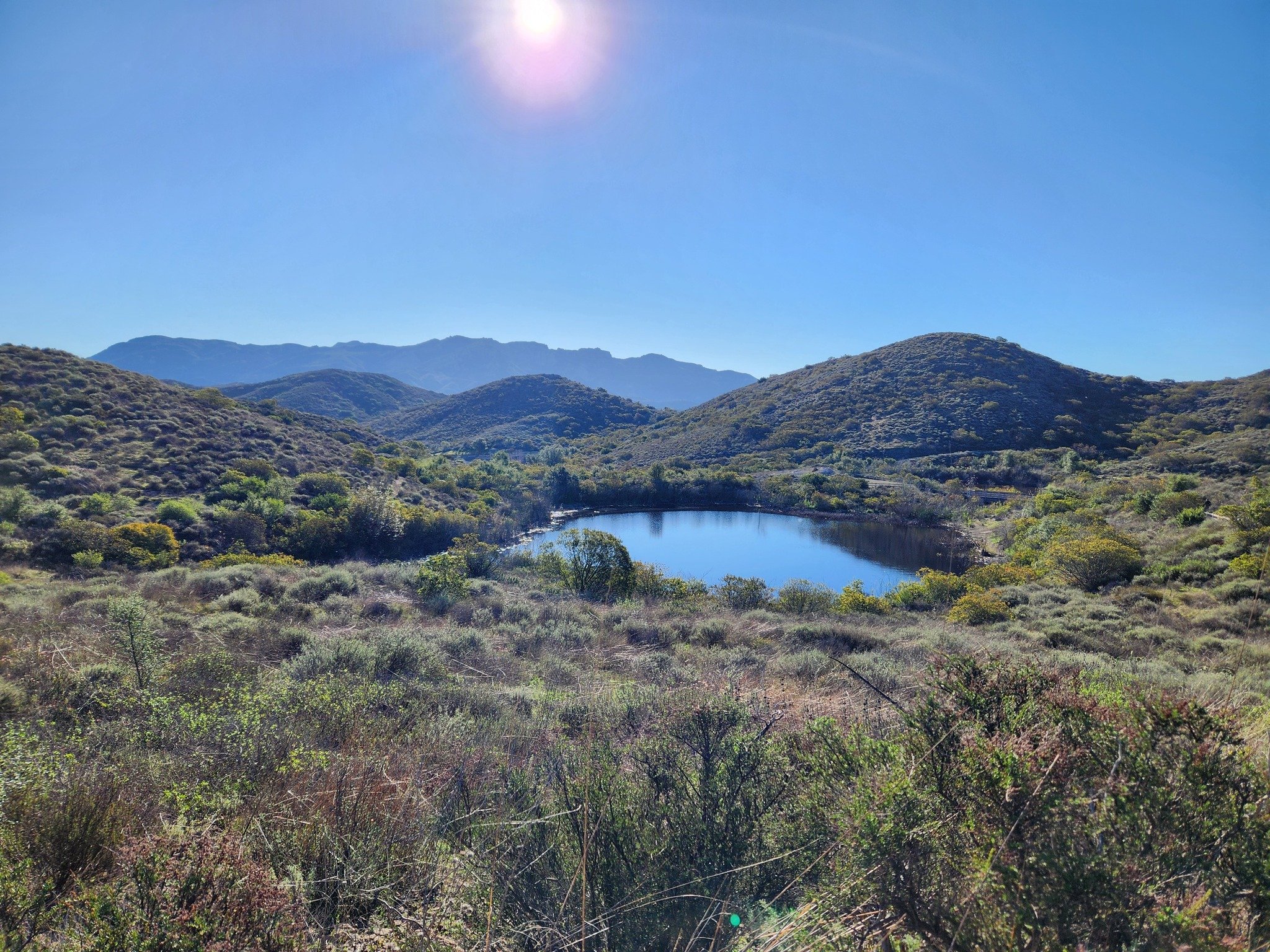
It takes a bit of driving via the Norwegian Grade and Santa Rosa Road to get there, but the Conejo Canyons Open Space in the Western Plateau section of the Conejo Open Space leads to several miles of nice, flat, well-maintained family-friendly trails leading to tree-canopied picnic areas. The Hill Canyon Trail and Hawk Canyon Trail are very easy to navigate.

Shaded picnic area off the Hawk Canyon Trail from the Conejo Canyons Bridge.
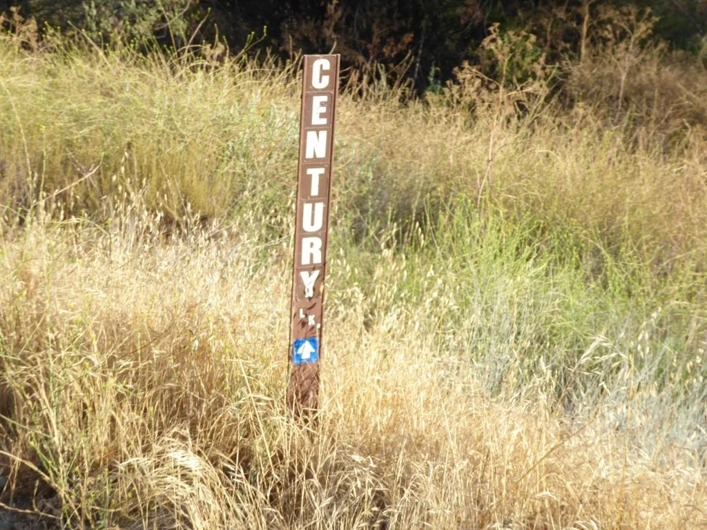
The one mile Spring Canyon Trail is a mostly flat trail that runs from Lynn Oaks Park, 359 Capitan Street, Newbury Park to the Los Robles Trail. There are some moderate hills but with the park nearby, this makes for a fun little excursion with the little ones. (No restrooms, however.)
The main access point to the Los Robles Trail at the southern endpoint of Moorpark Road at Greenmeadow Ave starts out with a reasonably flat section that is a nice, easy family stroll.
Speaking of the Los Robles Trail, another great little hike to take with the kids is the Oak Creek Canyon Loop Trail. The first 4/10th of a mile of the trail, accessible off of Greenmeadow Avenue in Thousand Oaks, is the Oak Creek Canyon Whole Access Interpretive Trail. This is a nice, shady, flat trail with benches and picnic benches along the path. The remainder of the loop is not quite as stroller friendly, with a couple moderately steep sections that can be navigated on foot.

Picnic trails and shade abound at the Oak Creek Canyon Interpretative Trail.
The Rancho Sierra Vista/Satwiwa area managed by the National Park Service in Newbury Park has several miles of trails to explore, most of which are flat and stroller-friendly. The Satwiwa Loop Trail takes you around the area and the Satwiwa Native American Indian Culture Center makes for a fun stop with the family when open on weekends.

The Chumash home, or “‘Ap,” in the background. It is no longer there as of 2025.
Cheeseboro/Palo Comado Canyons offer great family hiking opportunities. While there's definitely hills surrounding these canyons, try the Cheeseboro Canyon Trail, the 4 to 5 mile main artery into the park. Flat and kid/stroller friendly it is. Also try the Doubletree Trailhead connector to the Palo Comado Trail. Flat, fun and scenic.
The Los Padres Trail in Thousand Oaks is a short trail, half of which is pretty flat and tree lined, if you’re looking for a short excursion with a toddler. A seasonal creek makes it even more interesting as you may hear froggies in the spring.

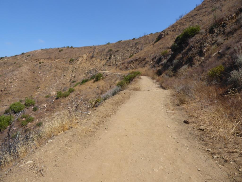
Although the trails in the Lang Ranch/Woodridge Open Space in Thousand Oaks are NOT FLAT and indeed quite HILLY, they are worth checking out with the kids because they wide and have some interesting sandstone rock formations. If you are really strong, strollers are possible here, but do know that you will encounter some hills like the hill shown in the image below.
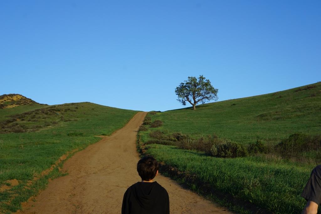
This hill in the Lang Ranch/Woodridge Open Space at the Autumn Ridge Trail is a bit daunting but worth the climb.
We're going to throw a bonus trail into the mix. The several miles of hiking trails in the Oakbrook Regional Park Archaeological Area in Thousand Oaks is an outstanding place for a flat, picturesque and oak-tree canopied place for a short hike with the kids.
For a more comprehensive compilation of trails in the Conejo Valley and throughout Ventura County, visit THIS LINK.