Things to Do Around Ventura County When It's Really, Really Hot Outside
/
It's sure hot out here! What's there to do around town that will cool me off!? Looking for things to do when its really, really HOT outside!? This list of mostly indoor activities is somewhat random in order so take a close look and you'll find something cool to do in and around Ventura County.
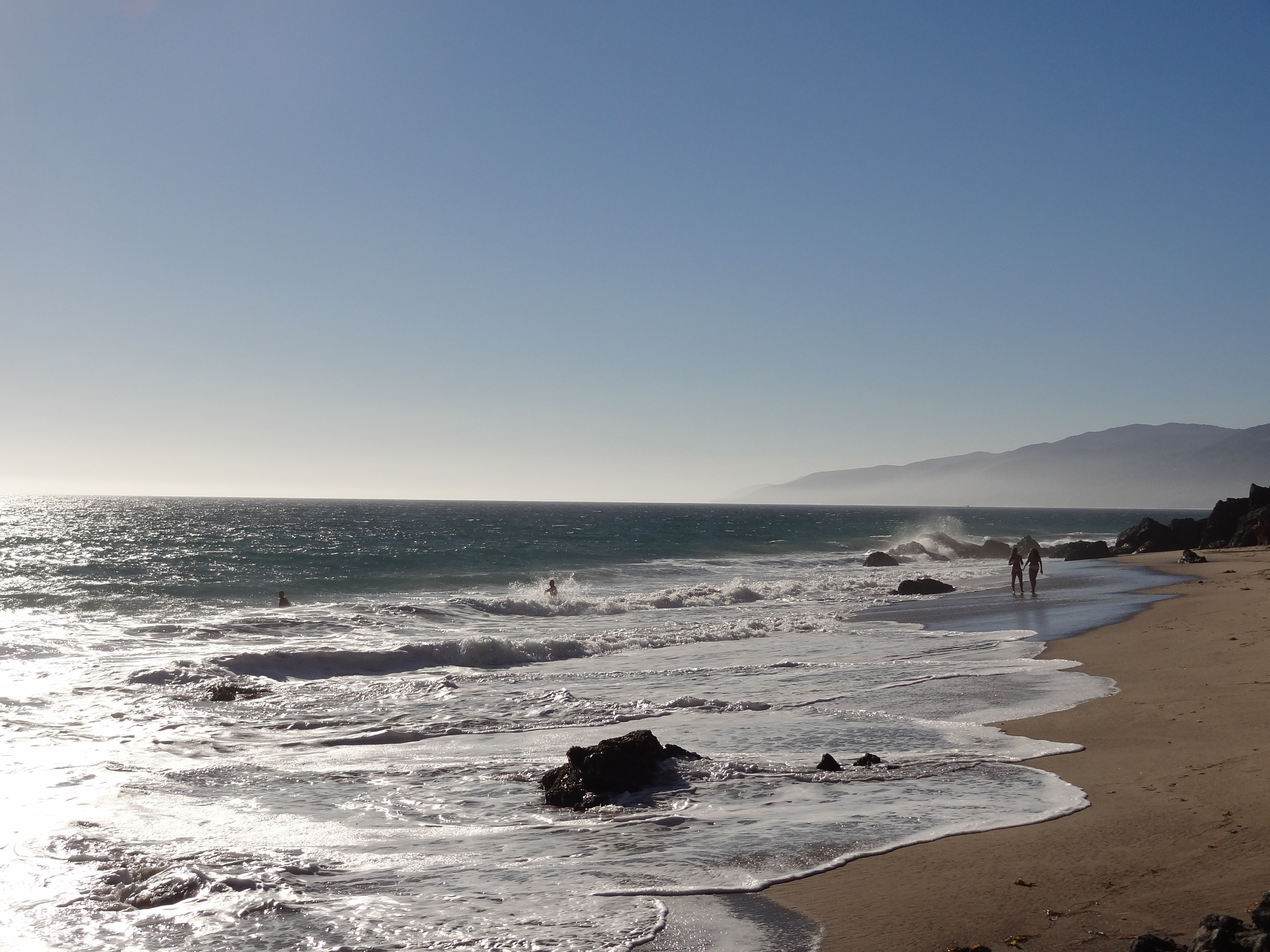
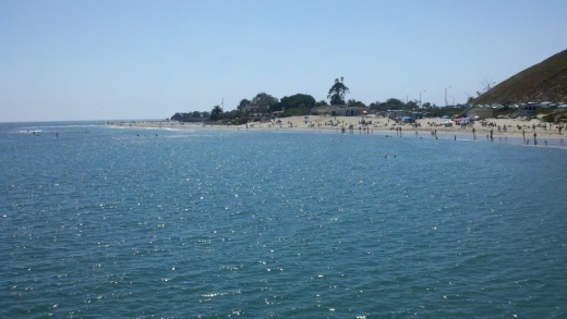
Community Pools, Splash Pads and Water Parks in Ventura County
Conejo Valley/Agoura Hills/Oak Park
Reign & Shine Play Lab in Oak Park (ages 6 months to 10 years)
The Oaks Mall Indoor Play Area (up to age 5)
Escapology Escape Rooms at Janss Marketplace in Thousand Oaks
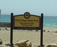
Camarillo/Oxnard/Ventura/Ojai/Port Hueneme
Moorpark/Simi Valley/Fillmore
Rockin' Kids Play Center at the Simi Valley Town Center (ages 0-6)
Color Café Pottery Painting Studio in Simi Valley (formerly As You Wish)
These are just a sampling of the various activities and events in Conejo Valley Guide, so make sure to explore and find something fun to do!