Memorial Day Weekend Events and Activities Around Ventura County
/
Memorial Day is a holiday to remember those who died while serving in the armed forces. Memorial Day was declared a national holiday by an act of Congress in 1971, but its beginnings go back to after the Civil War in 1868.
According to the U.S. Department of Veterans Affairs, cities in the North and South claim to be the birthplace of Memorial Day in 1866. But in 1966, Congress and President Lyndon B. Johnson declared Waterloo, N.Y. as the birthplace of Memorial Day.
Memorial Day was originally called Decoration Day.
Traditionally, Memorial Day was May 30th each year. That was changed to the last Monday in May when the Uniform Monday Holiday Act was signed into law in June 1968 and put into effect in 1971.
In 2000, the National Moment of Remembrance Act was enacted by Congress to ask Americans to pause in an act of national unity at 3 p.m. local time on Memorial Day.
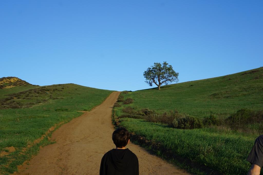
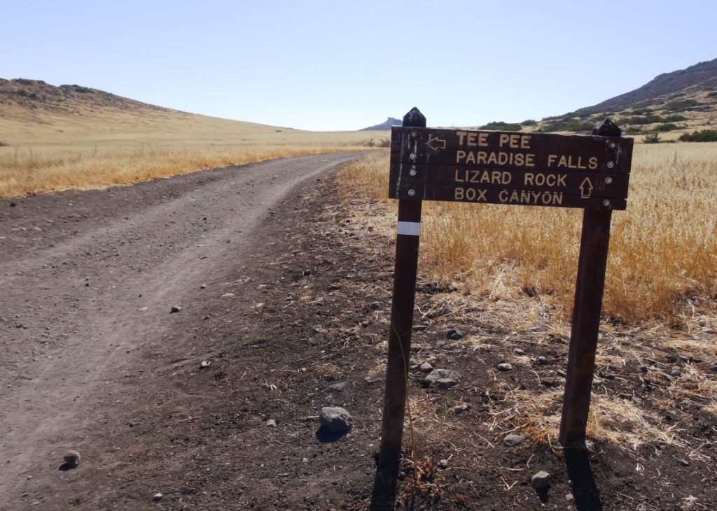
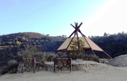
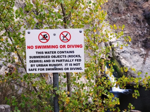
Here is a compilation of activities and events this 2025 Memorial Day weekend around Ventura County and adjacent areas.
Fri 5/23: Camarillo Old Town Cruise Night (4-7PM)
5/23 to 5/27: Mobile Vietnam Veterans Memorial Wall in Simi Valley
Fri-Mon: Simi Summer Days Carnival at the Simi Valley Town Center
Sat-Sun 5/24-5/25: Gold Coast Gem Show at Ventura County Fairgrounds
Sat-Mon 5/24-5/26: I Madonnari Italian Street Painting Festival in Santa Barbara
Sat-Mon 5/24-5/26: Live Music at Ventura Harbor Village (1-4PM)
Sat-Mon 5/24-5/26: Deck Tours on the Tall Ship Mystic Whaler at Ventura Harbor Village (1-6PM)
Sat/Sun 5/24-5/25: 48th Annual Ojai Art in the Park
Sat 5/24: Westlake Village Pancreatic Cancer Research Run/Walk 5K/10K
Sat 5/24 Mizel Estate Wines - Wine Tasting in the Vineyard (1PM, 2:30PM)
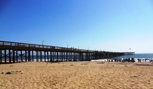
Mon 5/26: Memorial Day Service at the Port Hueneme Pier (8:30AM)
Mon 5/26: Memorial Day Service at Pierce Brothers Westlake Village (10:30AM music, 11AM program)
Mon 5/26: Memorial Day Service at Conejo Mountain Memorial Park in Camarillo (11AM)
Mon 5/26: Memorial Day Ceremony at Plaza Park in Oxnard (11AM)
Mon 5/26: Moorpark Field of Valor Event (10AM-4PM Flag Viewing, 1PM Ceremony)
Mon 5/26: Memorial Day Free Admission at the Ventura County Botanical Gardens (9AM-5PM)
Mon 5/26: CPRD Concert in the Park - Journey Tribute (5PM)
The annual Butterflies Alive! summer exhibit at the Santa Barbara Museum of Natural History opens on Sat, 5/24