Ten Things To Do in the City of Moorpark
/
The City of Moorpark has the distinction of being the youngest city in Ventura County, incorporating July 1, 1983.
According to the Moorpark Historical Society, the city originated when land investor Robert W. Poindexter of Los Angeles and his wife Madeline purchased the plot of land that is now Moorpark after Southern Pacific Railroad announced plans to relocate its tracks Los Angeles to San Francisco route from the coast to Chatsworth.
For many years, Moorpark was mostly farmland, with dry land crops including apricots, hay and lima beans, then later, walnuts and citrus when irrigation systems were improved. Moorpark became known as the "apricot capital of the world" and held an annual apricot festival by the late 1920s
So where did the name Moorpark come from? Apparently, Poindexter named the community after the Moorpark Apricot. Simple as that. Heck, he could have named it Poindexter!
So in any case, Moorpark is now a full-fledged city of 12.8 square miles with a population of approximately 35,000. Here is a selection of over 10 things to do within the City of Moorpark.
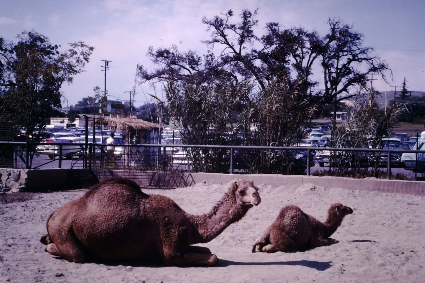
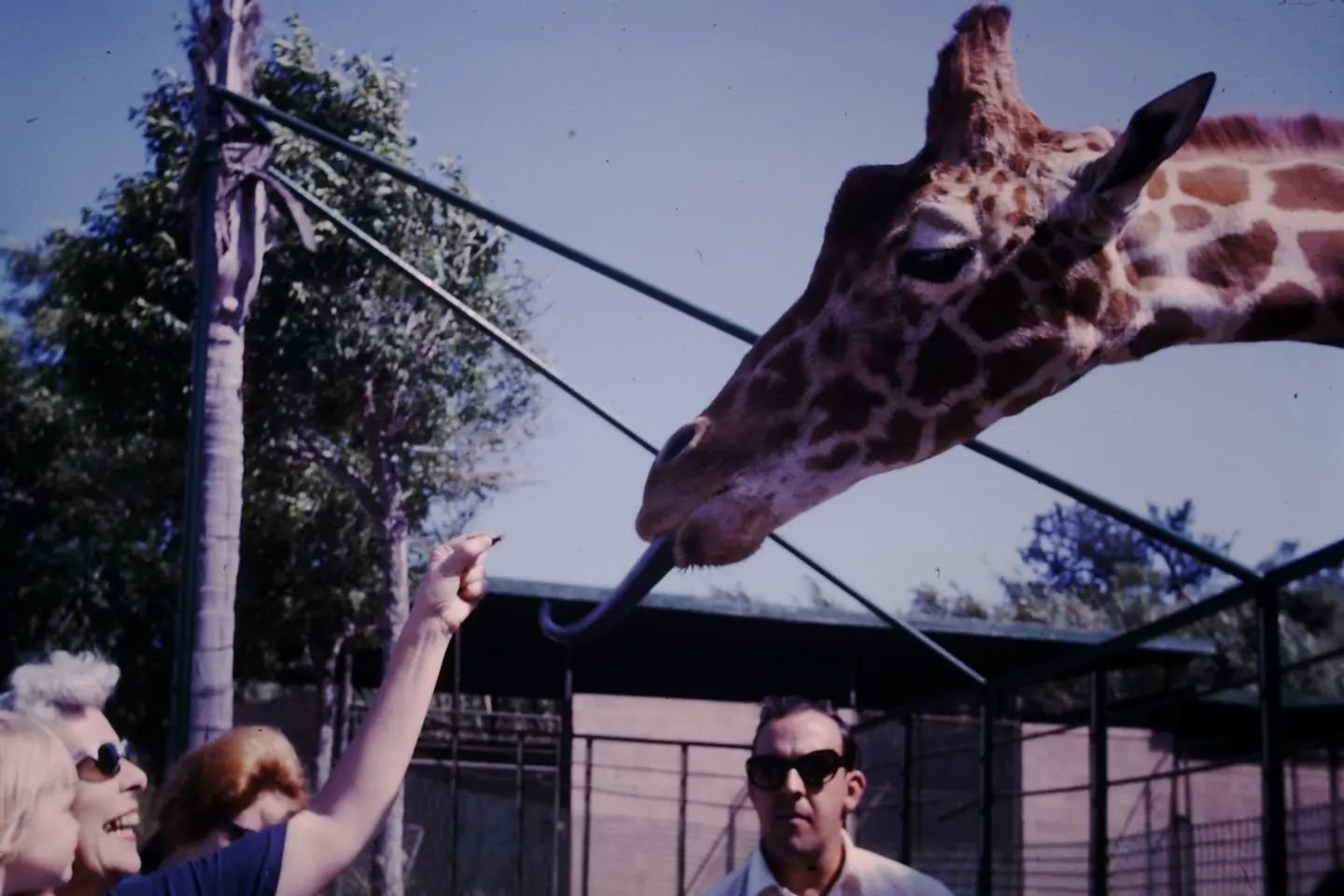
The Teaching Zoo at Moorpark College is a five acre zoo housing 200 exotic animals as part of the Exotic Animal Training & Management program. Great place for a quick weekend wild animal fix right here in our backyard.
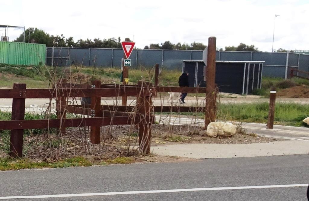
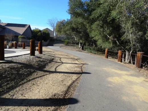
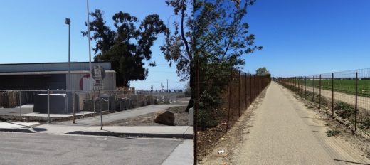
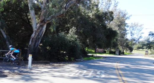
Happy Camp Canyon Regional Park is a 3,000 acre wilderness area with over 12 miles of trails.
Underwood Family Farms offers fresh produce, kids' activities, special events, farm animals and more.
For more things to do in Moorpark, visit the Do Something, Kid Fun and Fitness & Sports sections of the site. And of course the Events Calendar highlights daily goings on around the county.