Casa de la Guerra in Santa Barbara
/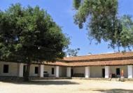
Casa de la Guerra is one of the most important remnants of Santa Barbara's Spanish-Mexican heritage, along with El Presidio de Santa Bárbara (1782) and Mission Santa Barbara (1786). This adobe residence was constructed between 1818 and 1828 by Josè de la Guerra, the fifth comandante of the Presidio. In addition to his military post, de la Guerra ran an active commercial trade enterprise and served as a patriarch for the community.
His home was the social, political, and cultural center of Santa Barbara during the Mexican period. Descendants of Josè continued to occupy the building until 1943, when the Casa was fully incorporated into the El Paseo complex. In the 1990s, the Santa Barbara Trust for Historic Preservation restored the building to its appearance between 1828 and 1858.
The adobe is now a museum, containing exhibits on the history of the de la Guerra family and the building, furnished period rooms, and rotating exhibits on Santa Barbara and Early California history.
Casa de la Guerra is a City Landmark, a California Landmark, and is listed on the National Register of Historic Places.
Museum hours are Saturday/Sunday noon to 4 p.m. Located at 13-15 East De la Guerra Street, Santa Barbara (just half a block off of State Street. Admission is Adult: $5, Senior (62+): $4, Children (under 16): Free (Note: Free admission to SB Presidio with purchase of admission to Casa de la Guerra).
Visit www.sbthp.org or call 805.965.0093 for more information.
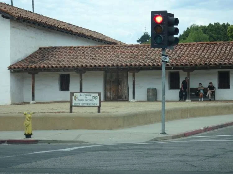
El Presidio de Santa Barbara State Historic Park (123 East Canon Perdido Street, Santa Barbara)