Sycamore Cove Beach in Point Mugu
/
Sycamore Cove Beach is located at 9000 Pacific Coast Highway in Point Mugu. This beach is one of the closest and easiest to get to from the Conejo Valley and Camarillo via Las Posas and PCH.

Sycamore Cove Beach in the background. Sycamore Canyon Campground entrance on left.
The beach is popular with families looking to barbecue and enjoy quick and easy access to the beach. There are also porta-johns and restrooms available. Very limited parking on PCH (read the signs carefully as you don't want to get ticketed) but plenty of paid parking available (generally $3 per hour or $12 for the day).
Dogs on a leash are allowed in day use areas, campgrounds and beaches within Point Mugu State Park. Dogs are not allowed on backcountry trails or dirt roads.
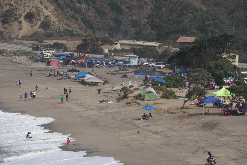
A view of Sycamore Cove Beach from the south.
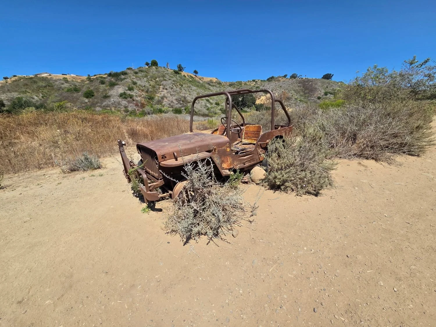
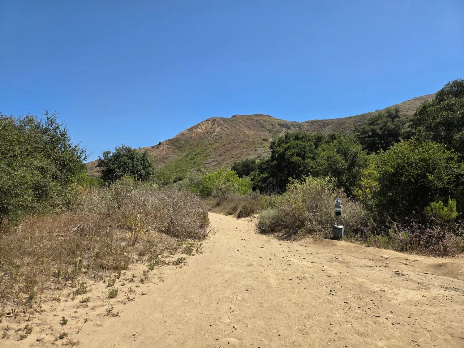
On the northwest end of the beach you can walk underneath PCH to the other side of PCH, where Sycamore Canyon Campground is located. From there, you can take Sycamore Canyon up to Newbury Park (about eight miles).

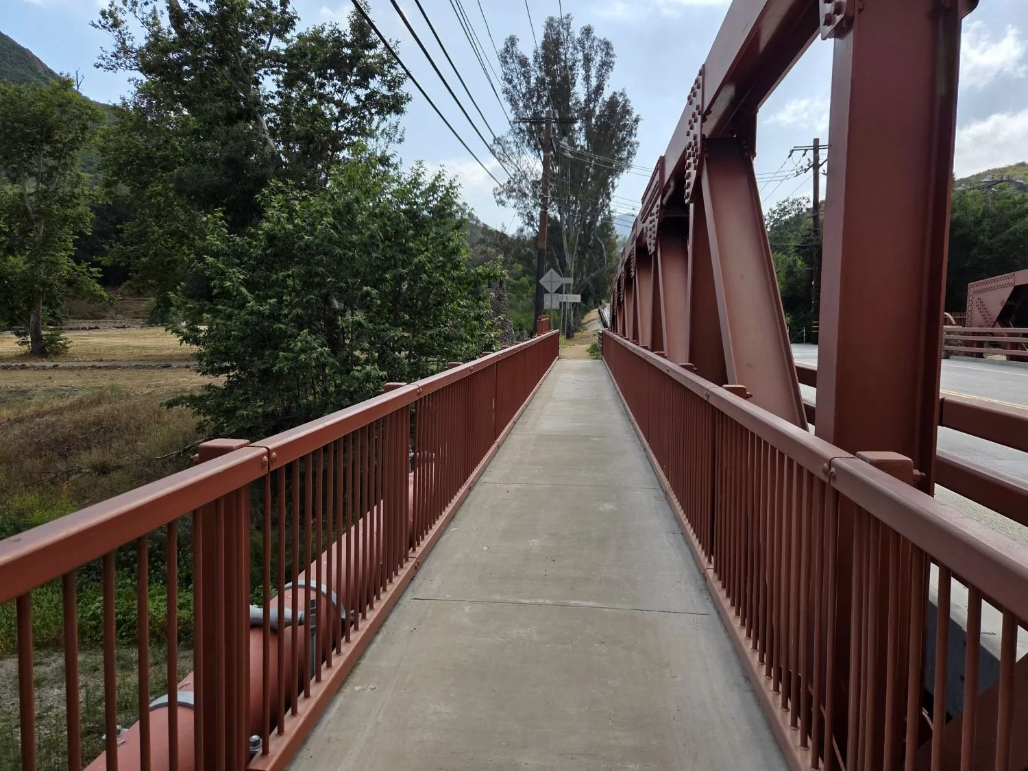
PCH is above. You can safely get from Sycamore Cove to Sycamore Canyon under this bridge (though at high tide can be a challenge). Beats risking your life crossing PCH!
Due north of Sycamore Cove Beach is Thornhill Broome Beach/Campground, which along with Sycamore Cove and Sycamore Canyon is part of Point Mugu State Park. Across from Thornhill Broome is the large sand dune that makes for some fun climbing.

The humongous sand dune walking distance from Sycamore Cove.
Visit www.parks.ca.gov/?page_id=630 for more information.