Gardens of the World - Thousand Oaks
/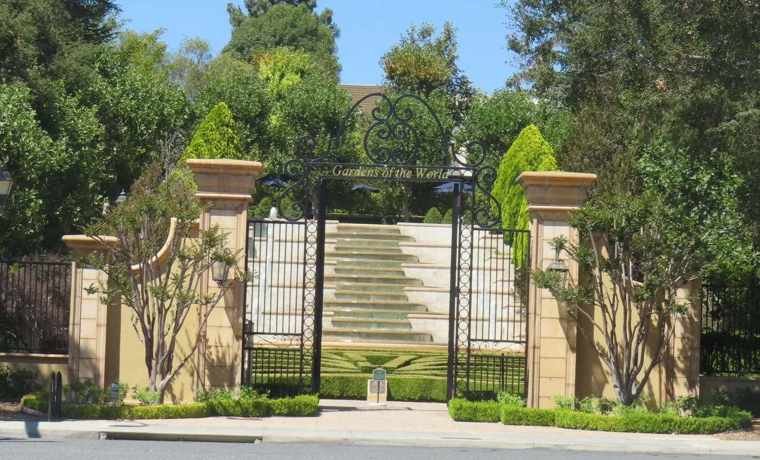
Gardens of the World at 2001 Thousand Oaks Boulevard is a 4 1/2 acre garden across from the Civic Arts Plaza in Thousand Oaks. It is free and open to the public Tuesday through Saturday from 9 a.m. to 5 p.m. (last admittance is 4:30 p.m.) Closed Sunday and Monday and most national holidays. Gardens of the World is a gift from the Hogan Family Foundation.

Gardens of the World is an oasis of beauty in the middle of Thousand Oaks. There is a large bandstand in the center of the Gardens that is a perfect venue for outdoor music. And the array of plants, flowers, waterfalls (including a stunning fountain that looks out toward the Civic Arts Plaza) and a serene koi pond next to an authentic Japanese Pagoda.

There is a Japanese garden, a French garden and waterfall (shown above), a Mission Courtyard, an English perennial and rose garden and an Italian garden. A beautiful place to visit and relax for a bit, right in the heart of Thousand Oaks. Also a great place for a picnic lunch, with plenty of tables, benches and grassy areas. More information at www.gardensoftheworld.info or 805.557.1135.

I never promised you a rose garden...but here's a beautiful one to check out!

Koi pond in the Japanese Garden

Shaded picnic area

Since 2003, Gardens of the World has hosted a great Jazz Series on Sunday afternoons in August in this traditional American Bandstand area.