Beaches Spanning From Carpinteria Through Ventura County to Malibu
/My kids and I love going to the beach but for many years we seemed to go to the same ones all the time. So I stopped by the Automobile Club and asked them if they had a brochure on all the local area beaches open to the public. They shrugged their shoulders and said no such guidebook existed. They handed me a fold out map, which was of no use to me as I wanted to know exactly how to get to these beaches, if they have restrooms, parking, etc.

Then I started searching around for information and found bits and pieces in various locations that were marginally useful. So I decided to consolidate this information into one place where I could find out about where to go to the beach around Ventura County on up the coast to Carpinteria and Santa Barbara and down to Malibu. So I hope you find the following links helpful in finding local area beaches in Ventura County and surrounding areas!
This took a lot of time to compile over 60 local area beach areas, so I truly hope you benefit from these lists! So enjoy and provide feedback if you have comments and/or additional information.


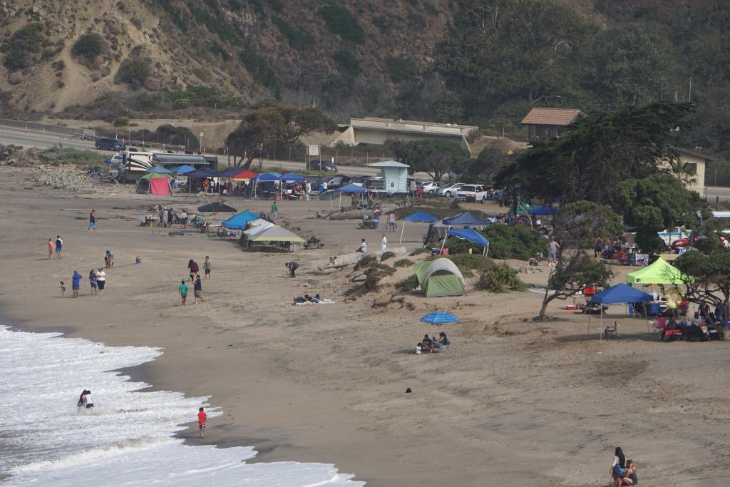
At Leo Carrillo State Beach in Malibu.

Windsurfers at Surfers' Point in Ventura.