The Twin Ponds Conservation Area in the Conejo Open Space is Protected Land

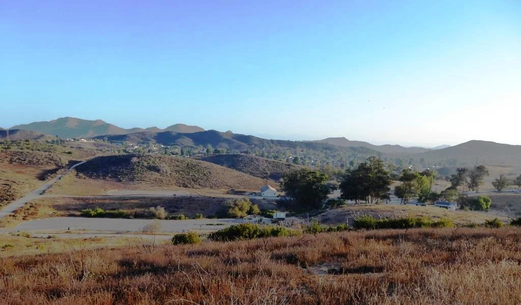
The Twin Ponds Conservation Area in Dos Vientos is part of the open space lands of the Conejo Open Space Conservation Agency and is protected by a conservation easement to the California Department of Fish and Game.
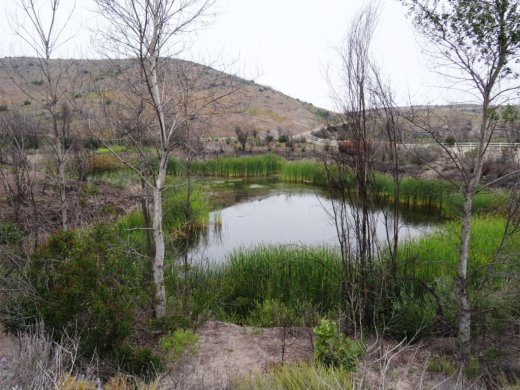
July 2014

July 2014

January 2015

January 2015

May 2016

May 2016

The ponds were originally constructed in the 1920s as part of the irrigation system for agricultural and cattle ranching operations at Dos Vientos Ranch. Today they serve as important habitat for Two Striped Garter Snakes and larger animals such as deer, bobcat, coyote and mountain lions that depend on a reliable source of water. Migrating waterfowl are occasionally abundant, especially in winter.

TwinPondsDV1.JPG

COSCA and Fish & Game ask that we enjoy this scenic area but protect the ponds for the future and ask that we do not enter the water or allow dogs/horses to enter the water, disturb or remove any animal or plant or place any plants or animals, including fish, into the ponds.

To explore the ponds, take the Vista Del Mar Trail from one of several access points in the Dos Vientos area, including the corner of Via Ricardo and Via Rincon and the corner of Rancho Dos Vientos and Via El Cerro. This is a fun little hike to take the kids on and the ponds are only about a mile from the Via Ricardo/Via Rincon trailhead.

Twin Ponds? What ponds? The ponds are completely dried up as of August/September 2016.

Twin Ponds? What ponds? The ponds are completely dried up as of August/September 2016.

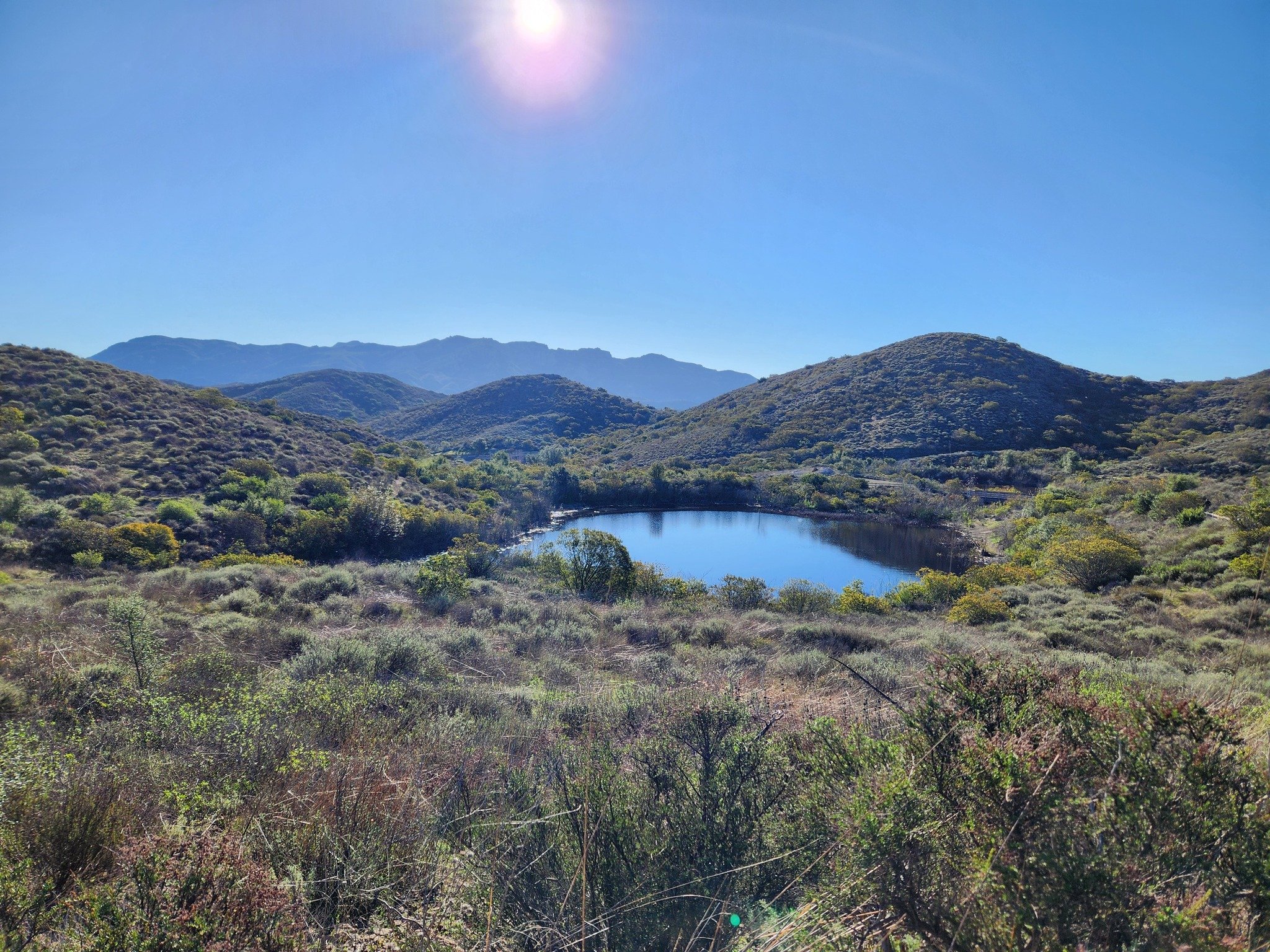
January 2024

Late March 2024 - looking great!

Fireworks Hill in Thousand Oaks Has Hosted the City's Fireworks Show for Decades

So called "Fireworks Hill" is located in the center of Thousand Oaks, enveloped by McCloud Avenue on the northwest, St. Charles Drive on the northeast, Wilbur Road on the east, Marin Street on the south and Hillcrest Drive on the southeast.

The hill is passed by tens of thousands of commuters each day as it can clearly be seen from the 101. 

For decades, the annual City of Thousand Oaks 4th of July Fireworks have been launched from this hill, a 27 acre parcel that was acquired by the City of Thousand Oaks in 1994. According to an April 7, 1994 Los Angeles Times article, the top of the hill was graded three decades prior.

According to minutes from the April 5, 1994 City Council meeting, city council voted by a 3 to 2 vote to acquire the property from the Robert A. Franklyn Estate for $540,000, plus $5,000 in estimated escrow closing costs.

The fireworks launched from this site can be seen from quite a large radius in the surrounding area. Here's to a great Independence Day!

Independence Day events and activities throughout Ventura County

Fireworks Hill shown here in early January 2016, when three were snow capped peaks in the background.

Fireworks Hill shown here in early January 2016, when three were snow capped peaks in the background.

Mugu Rock at Point Mugu

Point Mugu is an unincorporated part of Ventura County that is derived from the Chumash word Muwu, or beach. Other than the Naval Base, probably the most well known fixture in Point Mugu is the Mugu Rock. Mugu Rock is a large rock formation that was formed when Pacific Coast Highway was built and cut through the mountain that now resides on the other side of PCH. Before PCH was built, a road went around the rock, where a chain link fence has been placed to keep people away from this hazardous area adjacent to the Pacific Ocean.  PCH was cut through Point Mugu from October 1937 to February 1940, according to this interesting KCET article.

MuguRock_pch.JPG

Mugu Rock is located just a few miles near the northwest tip of PCH before it veers north towards Oxnard. It is about a 10 mile drive from the Camarillo Premium Outlets and about 20 miles from the heart of Thousand Oaks taking either the 101/Lewis Road route or the slightly slower, curvy and interesting Potrero Road route.

Professional landscape and wildlife photographer Greg Clure of Newbury Park has shared a couple neat images facing Mugu Rock from the south. Visit Greg's website at www.gregclurephotography.com for more of his outstanding work.

ClureMuguRock2.jpg
ClureMuguRock1.jpg

And here is some not so professional video footage of Mugu Rock from the north.

Hike to the Teepee, Paradise Falls and Little Cave at Wildwood Park in Thousand Oaks

One hiking experience that everyone in the Conejo Valley and neighboring areas has to experience is Wildwood Park. With 14 trails covering 17 miles in the nearly 1,800 acre park managed by the Conejo Open Space Conservation Agency, there is plenty to see and do in Wildwood Park.

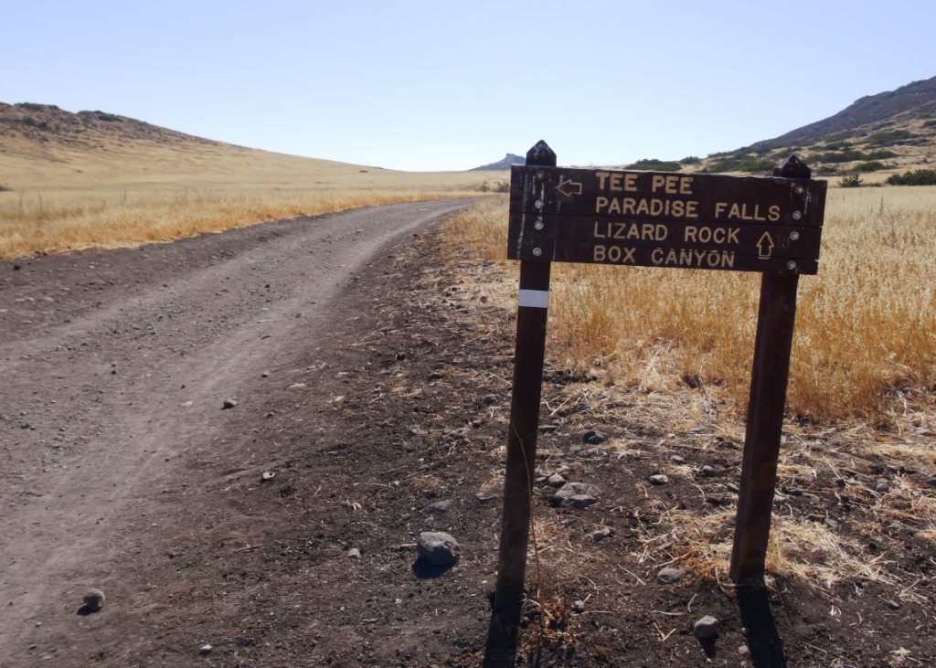
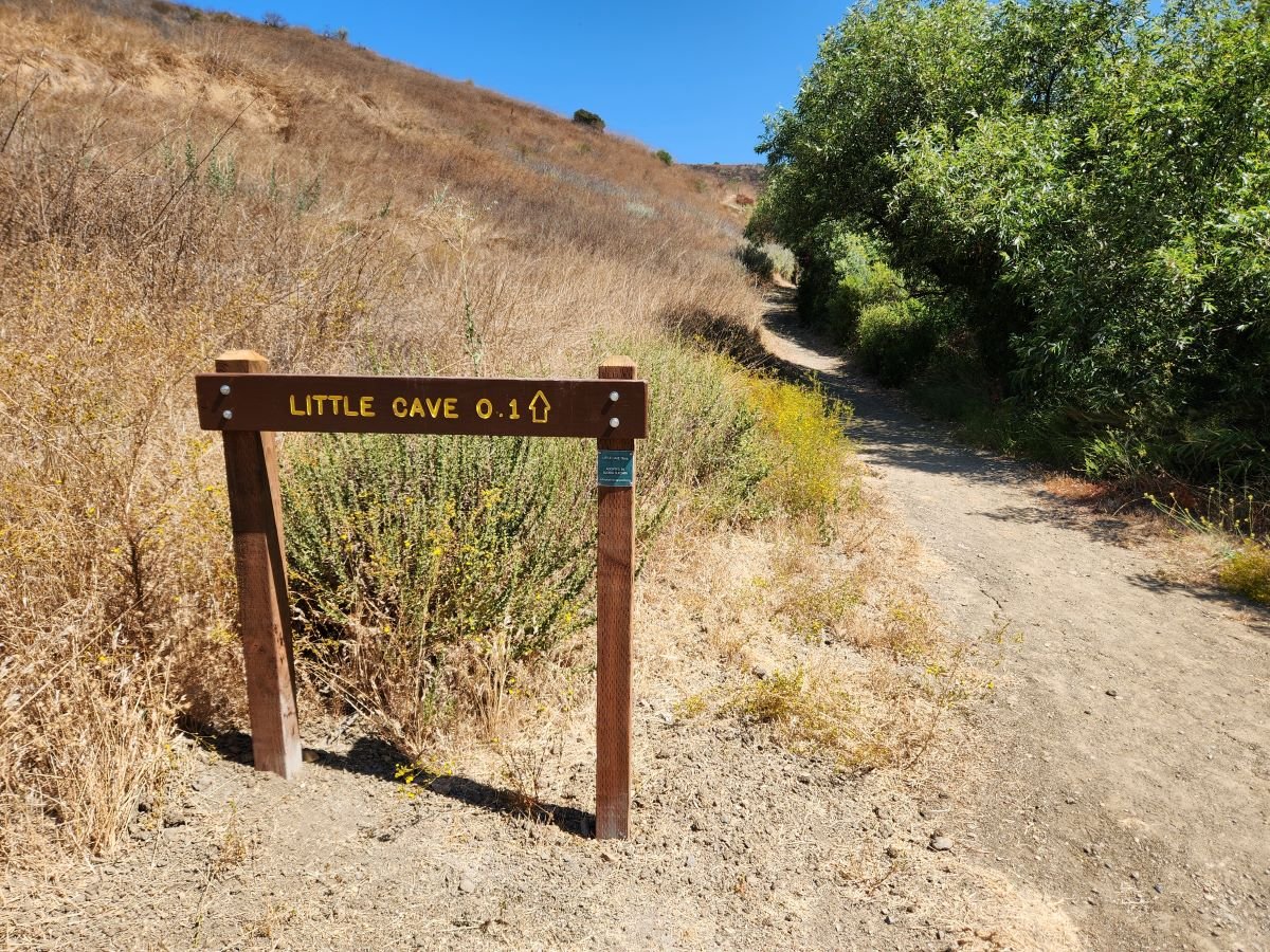
One particularly fun and fairly easy family hike at Wildwood takes you from the main parking lot at the west end of Avenida de los Arboles to the Teepee, Paradise Falls and Little Cave (formerly Indian Cave**). Take the Mesa Trail about a 3rd of a mile until you see the sign below, then take a left.

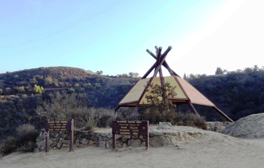
Another third of a mile and you're at the teepee, where you'll find another clearly marked sign pointing you in the direction of Paradise Falls.

Another third of a mile and you're at the teepee, where you'll find another clearly marked sign pointing you in the direction of Paradise Falls.

WildwoodTeepee3.JPG

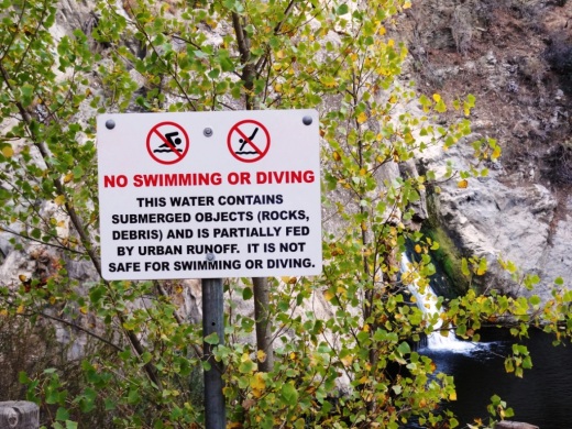
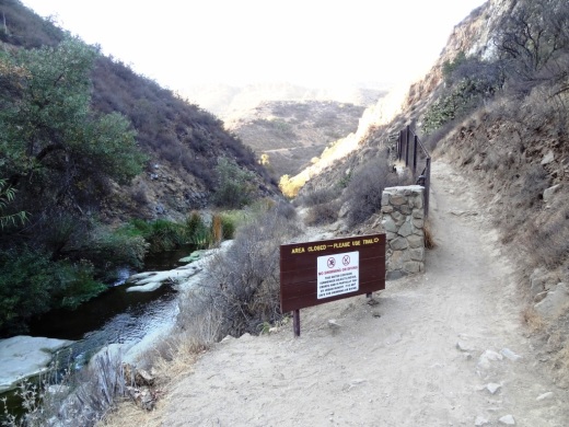
Hike down some switchbacks and stairs and you'll see be at the beautiful Paradise Falls. Always a fun place to take the kids, though we're warned not to go into the water, which is largely urban runoff.

ParadiseFalls2.JPG
ParadiseFalls4.jpg

But it is sure popular and enjoyable to sit back and enjoy this year-round waterfall that is so nicely hidden yet so close to hustle and bustle of suburban Thousand Oaks.

ParadiseFalls11.3.13.JPG

The Little Cave is roughly half a mile east of Paradise Falls and can be accessed from the trail directly above the falls or by hiking back up to the teepee and going the other direction.

Trail adjacent to Paradise Falls that takes you towards the Indian Cave.

Trail adjacent to Paradise Falls that takes you towards little Cave.

A quarter of a mile or so and you'll see the sign below.

Little Cave (Formerly Indian Cave) sign

Here's the sign indicating you are near the Indian Cave in Wildwood Park.

Formerly called indian cave

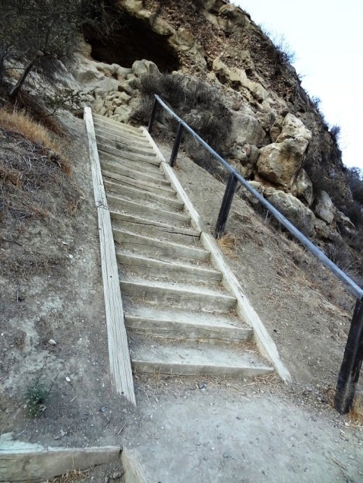
Another 100 yards or so and you've reached the staircase that will take you up to the Cave.

Large enough to actually hang out in, though the last time we walked in there were signs of rodents.

Large enough to actually hang out in, though the last time we walked in there were signs of rodents.

IndianCave5.JPG

You can literally climb through the cave to an exit at the top and hike your way up to a connector trail that will lead you back towards the parking lot. My kids love this and so do I!

** The change in name was approved by the Conejo Open Space Conservation Agency (COSCA) in May 2022. COSCA received a request to change the Indian Creek Trail name earlier that year. On its own, the work "Indian" refers to individuals from India, rather than Native Americans, and thus did not accurately reflect the origin of the people to whom it refers.

The Indian Cave and Indian Cave Trail were renamed Little Cave as it was unclear if the cave was naturally formed and/or historically used by Native Americans.

The Indian Creek Trail in Wildwood Park was renamed Two Springs Trail as two natural springs contribute to the stream flow in this portion of the channel.

Century Lake at Malibu Creek State Park

According to the Malibu Creek Docents, around 1903, the Crags Country Club constructed a 50 foot tall dam on its 2,000 acre property on what is now Malibu Creek State Park. The dam created a seven acre lake that club members used for fishing and duck hunting.

The Club closed in 1936, and 10 years later, 20th Century Fox Studios purchased the property to film movies and TV shows on what was renamed Century Ranch. The 1968 "Planet of the Apes" featured many prominent scenes shot here.

This is an awesome video showing Planet of the Apes (1968) film scenes at Malibu Creek State Park and local area beaches then and today.

As for the lake, it is now referred to as Century Lake, a hiking destination in Malibu Creek State Park. Only 1 1/2 miles from the parking area, Century Lake is in a secluded area, where you can eat your lunch at the picnic table and enjoy serenity (usually, depending on who else is there). I believe it is fine to wade in the water and even kayak in there if desired. although I've never seen anyone do so.

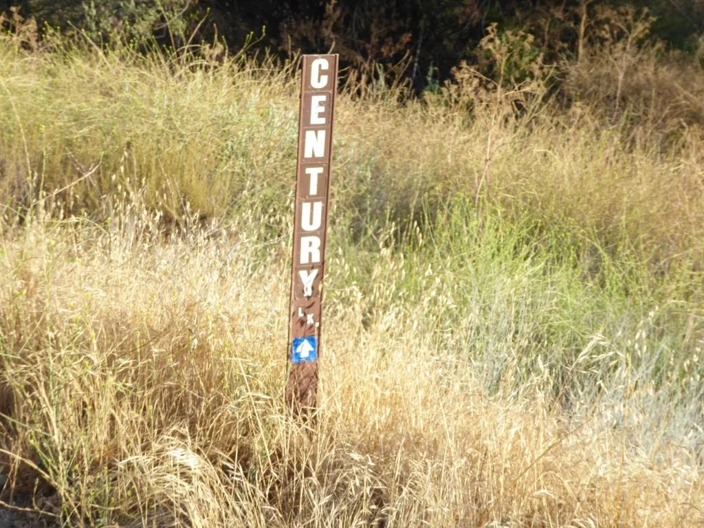
Century Lake is a left hand turn from the main Crags Road trail, after cresting the only significant hill going down the other side. The only indicator is this narrow sign.

Century Lake is a left hand turn from the main Crags Road trail, after cresting the only significant hill going down the other side. The only indicator is this narrow sign.

The hike has a moderately steep hill in it, but otherwise is quite flat and easy to do with kids and/or a stroller.

Malibu Creek State Park has something for everyone...camping, a visitor center, the "Rock Pool," the M*A*S*H set, the old Reagan Ranch, Century Lake, over 35 miles of trails, rock climbing (near the Rock Pool) and more.

The Century Dam is shown in this image. You don't wanna fall down that dam. Off limits.

The Century Dam is shown in this image. You don't wanna fall down that dam. Off limits.

Oakbrook Regional Park Archaeological Area in Thousand Oaks is City Historical Landmark #5

Oakbrook Regional Park Archaeological Area is located at 3290 Lang Ranch Parkway in Thousand Oaks, south of the intersection of Avenida de los Arboles and Westlake Boulevard.

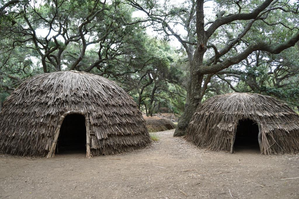
This 428 acre park is a designated historical landmark by the City of Thousand Oaks and County of Ventura. The Chumash inhabited this area going back as far as 12,000 years ago through the late 1800's. 

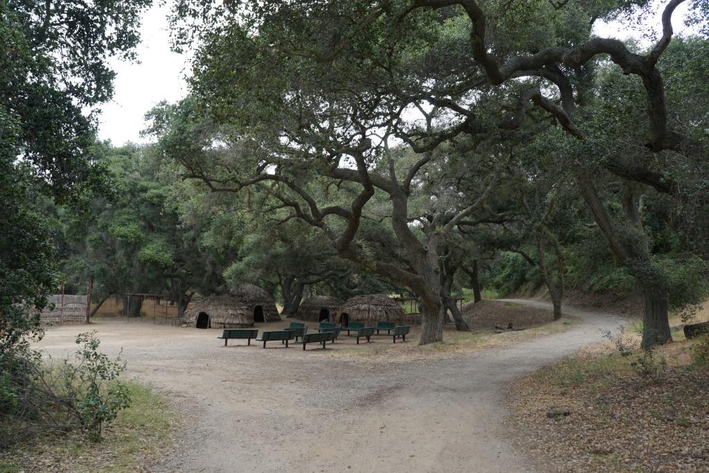
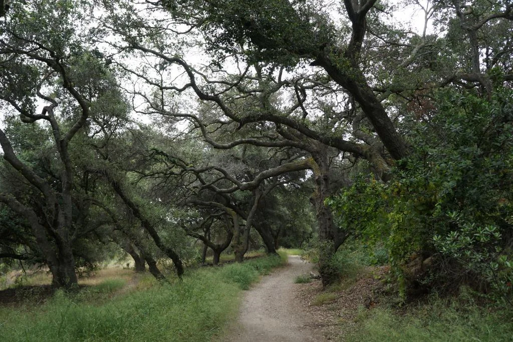
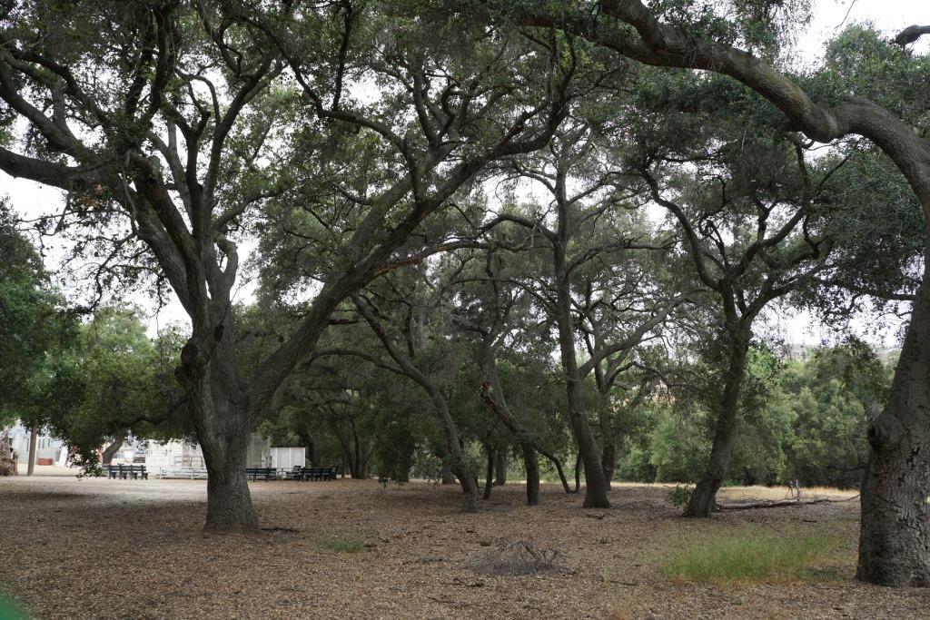
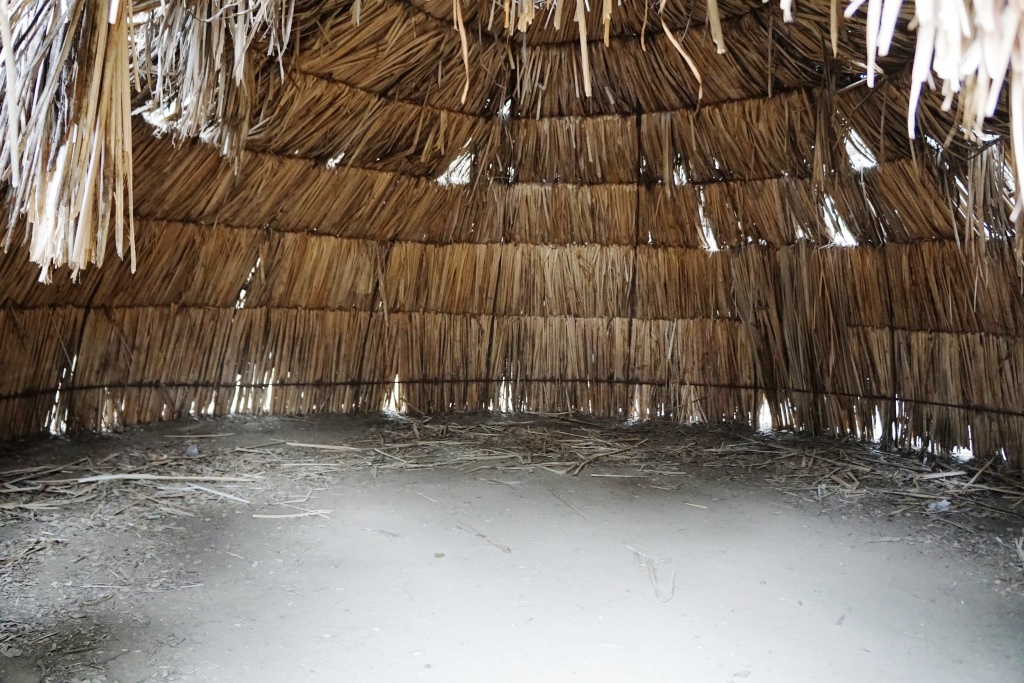
The park grounds are open to the public daily from 7 a.m. to 10 p.m.  There are flat hiking trails and a Chumash village reproduction available to explore. The oak trees provide a beautiful canopy for hikers. It is a peaceful place worth exploring. Note that dogs are prohibited from the property.

Located on the property is the Chumash Indian Museum, which contains a large collection of Chumash artifacts. The museum is open on Saturdays and Sundays from 10 a.m. to 4 p.m.

More information on Oakbrook Regional Park at www.crpd.org/park/oakbrook-regional-park.

Hiking and Exploring in Rancho Sierra Vista/Satwiwa in Newbury Park

Entrance to Rancho Sierra VistaSatwiwa at Lynn Road and Via Goleta in Newbury Park

Located on the western edge of the Santa Monica Mountains National Recreation Area, Rancho Sierra Vista/Satwiwa is accessible in Newbury Park at the intersection of Lynn Road and Via Goleta. This area spans from Potrero Road on the north and connects to Point Mugu State Park on the south.

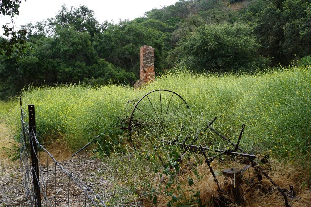
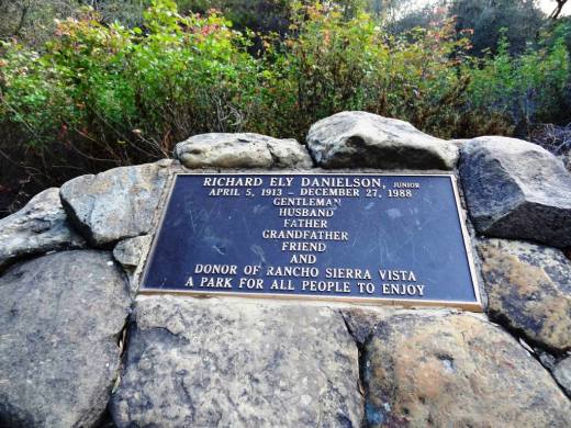
Ranching in the area dates back to the early 1800s, when Spanish soldiers were granted 48,672 acres of land, "Rancho El Conejo," which through the years was subdivided and sold to other landowners. One of these ranchers was Carl Beal, who in 1937 named the area Rancho Sierra Vista "Mountain View Ranch." The last private landowner in the area was Richard Danielson, whose family farmed and ranched the area for 32 years. Danielson donated 5,585 acres of the ranch to the State of California, which became part of Point Mugu State Park, and sold 850 acres, including the horse ranch, to the National Park Service in 1980.

Sign at Danielson Monument accessible via Danielson Road/Old Boney Trail.

Sign at Danielson Monument accessible via Danielson Road/Old Boney Trail.

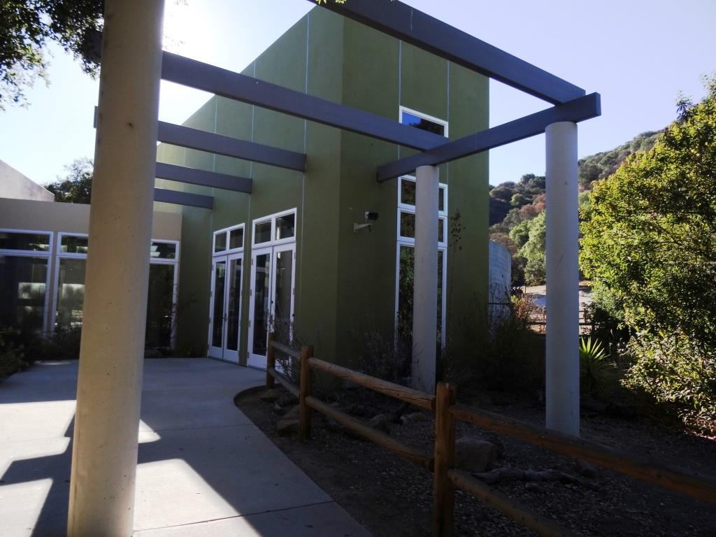
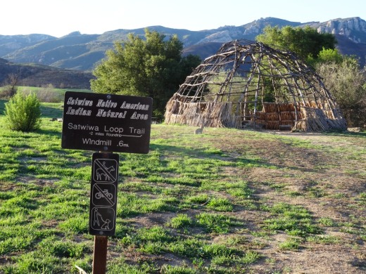
The Satwiwa Native American Indian Natural Area is a bike/horse free area within Rancho Sierra Vista/Satwiwa of roughly 60 acres. Located on the northwest corner of this area, just a short walk from visitor parking, is the Satwiwa Native American Culture Center.

The Culture Center is staffed from 9 a.m. to 4 p.m. most weekends with a park ranger or other staff. It is a small building that also hosts a variety of educational Chumash and wildlife items. NPS BROCHURE AND TRAIL MAP

Learn more about RSV at www.nps.gov/samo/planyourvisit/rsvsatwiwa.htm.

SatwiwaSign.JPG

The area is a popular destination for hikers with a variety of well maintained trails. Note, however, that bicycles and horses are not allowed in the "Satwiwa Natural Area" section (see map below).

Map excerpt courtesy of National Park Service.

Map excerpt courtesy of National Park Service.

The Satwiwa Loop Trail is an easy, 2 mile trail that starts at the Culture Center through grasslands, past the old windmill and back around, with several extensions for those looking to do a little more.

SatwiwaLoopTrail_sign.jpg

There's the Lower Loop Trail and the Upper Loop Trail that is a bit of a zig-zaggy trail with wooden footings placed by volunteers to help hikers navigate. The Upper Loop Trail runs past the "Old Windmill" pictured below.

Satwiwa Lower Loop sign at intersection of Danielson Road trail.

Satwiwa Lower Loop sign at intersection of Danielson Road trail.

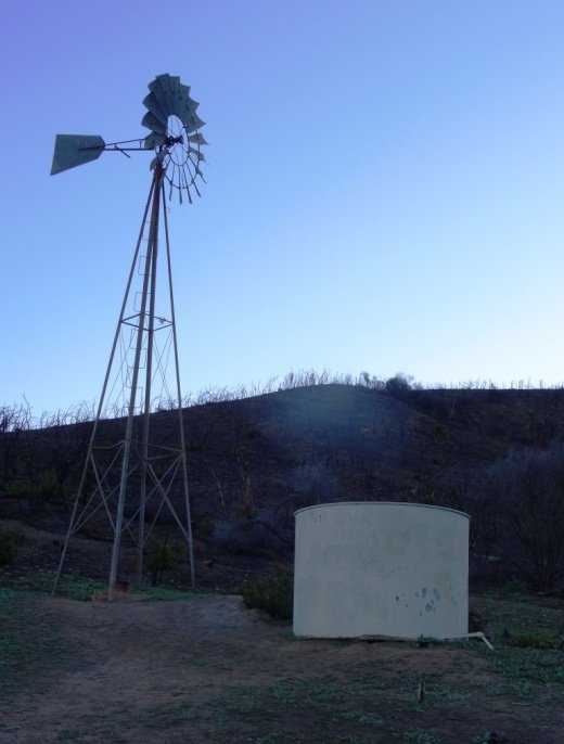
The old windmill at the northeast corner of the Satwiwa Loop Trail (Upper Loop). (Windmill was knocked down by high winds in December 2016 and is still down as of MAY 2024).

You can also park at the Wendy and Potrero trailhead and walk to the Culture Center via the Wendy Trail, about a mile each way.

Wendy Trail trailhead at the intersection of Wendy and Potrero in Newbury Park

Wendy Trail trailhead at the intersection of Wendy and Potrero in Newbury Park

It is pretty dry in here most of the year but after the winter/spring rains, the green stages a comeback.

It is pretty dry in here most of the year but after the winter/spring rains, the green stages a comeback.

Another trail to explore is the 1 mile Ranch Overlook Trail that takes you from just west of the Satwiwa Native American Indian Culture Center, up a hill (where you can indeed look down toward the old ranch area, parking area and restrooms) to the main entrance and to the Palomino Trail in the Rancho Potrero Open Space.

Ranch Overlook Trail

Ranch Overlook Trail

One of my favorite trails in Rancho Sierra Vista/Satwiwa is the Hidden Valley Overlook Trail. This challenging, fairly steep trail branches off from the Satwiwa Loop Trail on the southeast, past the bench at the Upper Sycamore Canyon Overlook, via the Boney Mountain Trail/Danielson Road.

The popular bench at Upper Sycamore Canyon Overlook. Photo taken April 4, 2014, approximately 11 months after the devasting Springs Fire of 2013.

The popular bench at Upper Sycamore Canyon Overlook. Photo taken April 4, 2014, approximately 11 months after the devasting Springs Fire of 2013.

Roughly 700 feet past the Upper Sycamore Canyon bench is a juncture where you can either veer right into Point Mugu State Park and the Boney Mountain Wilderness, where you can walk down, over a stream (or a dry stream bed as the case may be), towards the popular "waterfall" (which in recent years has been not much more than a trickle) and the Danielson Monument. CLICK HERE for details.

If you veer left at the juncture, you'll see the Hidden Valley Overlook trail sign.

HiddenValleyOverlook_sign.jpg

The trail is steep and rocky and reaches an end point in about half a mile. If you are up to the challenge, you will be rewarded with sweeping views of Newbury Park, the Channel Islands, Sycamore Canyon and Boney Mountain.

Views from halfway up the Hidden Valley Overlook Trail towards the Satwiwa Native American Indian Natural Area

Views from halfway up the Hidden Valley Overlook Trail towards the Satwiwa Native American Indian Natural Area

At the end of the trail is the Hidden Valley overlook, where you will be able to peek into the not-so-hidden-anymore Hidden Valley and its peaceful ranches. As a final reward for your effort, it's all downhill the way back. Be sure to wear solid hiking shoes as the trails are a bit technical.

Peek at Hidden Valley at the end of the Hidden Valley Overlook Trail.

Peek at Hidden Valley at the end of the Hidden Valley Overlook Trail.

View of Santa Cruz Island, one of the Channel Islands, from Hidden Valley Overlook trail

View of Santa Cruz Island, one of the Channel Islands, from Hidden Valley Overlook trail

To learn more, visit the Anthony C. Beilenson Visitor Center at 26876 Mulholland Highway, Calabasas or visit www.nps.gov/samo or call 805.370.2301.

Dogs are allowed in Rancho Sierra Vista/Satwiwa as long as they are on a leash no longer than 6 feet. But please, pick up after your pet. Dogs are not allowed in the Point Mugu State Park / Boney Mountain Wilderness back country trails, though they are allowed on paved roads, such as the Big Sycamore Canyon Trail road.