Visiting Santa Cruz Island, the Largest of the Eight Channel Islands of California
/
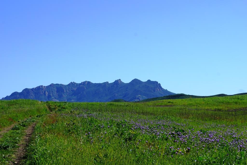
East Santa Cruz Island Scorpion Anchorage, viewed from the Cavern Point trail.
Santa Cruz Island is 22 miles long and ranges from two to six miles wide, making it the largest of the eight Channel Islands at nearly 62,000 acres. It is one of four islands that are located in Santa Barbara County (the others are San Miguel, Santa Cruz and the smallest of the eight islands, Santa Barbara Island).

The island has been occupied for over 9,000 years, including thousands of years by the Chumash Indians. In 1769, the expedition of Don Gaspar de la Portola reached the island. He and two Fathers traveling with him brought a staff with a cross on it, were well received, but realized they left the staff on the island. The Indians realized this and brought the staff to the ship the next day via canoe. The Spanish were so impressed by this that they called the island, the Island of the Holy Cross (Santa Cruz).
After Mexico became independent of Spain in 1821, the island became Mexican owned, then California became a state in 1950 and the island came with it. Sheep were brought to Santa Cruz Island in the 1850s and by 1864, 24,000 sheep grazed on it. Sheep operations continued on the island until the 1980s. Today, the National Park Service owns and operates 24% of Santa Cruz Island as part of Channel Islands National Park. The remainder of the land is managed by The Nature Conservancy, the University of California Field Station and the Santa Cruz Island Foundation.
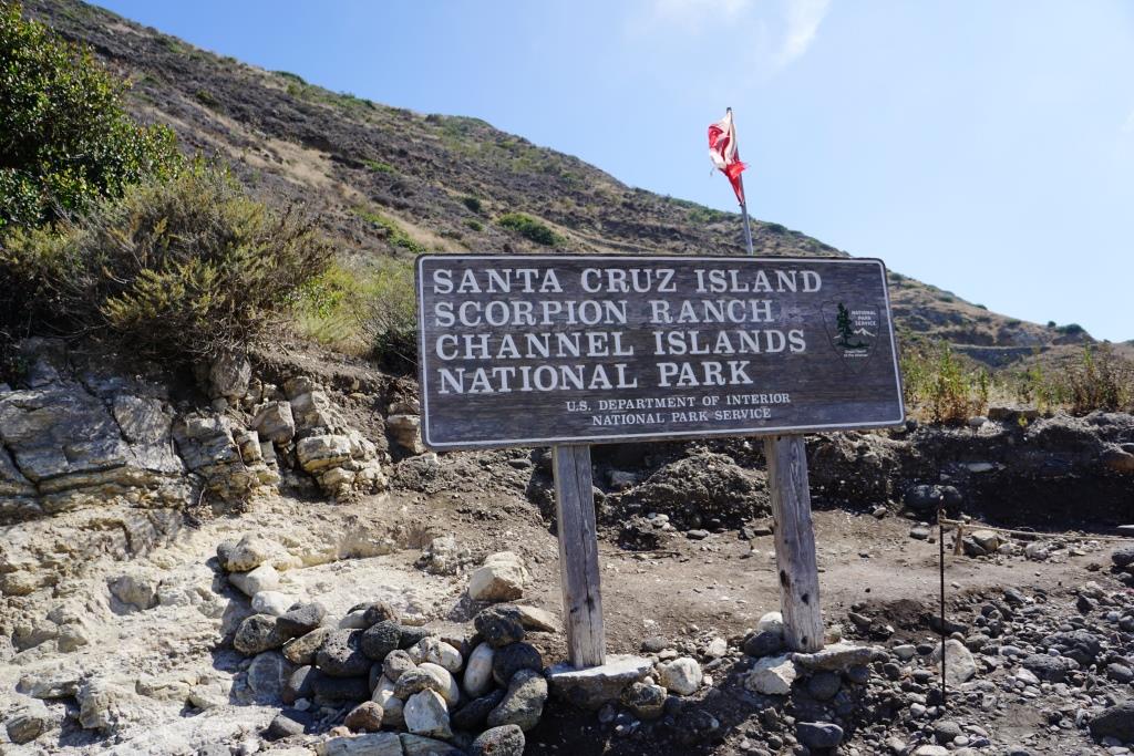
Access to the island is primarily through private concessionaire, Island Packers, from the Ventura Harbor and Channel Islands Harbor. The two island destinations open to the public are East Santa Cruz at Scorpion Ranch (also referred to as Scorpion Anchorage) and Mid Santa Cruz at Prisoners Harbor (so named as a result of a short-lived occupation of the area by convicted Mexican prisoners in 1830).
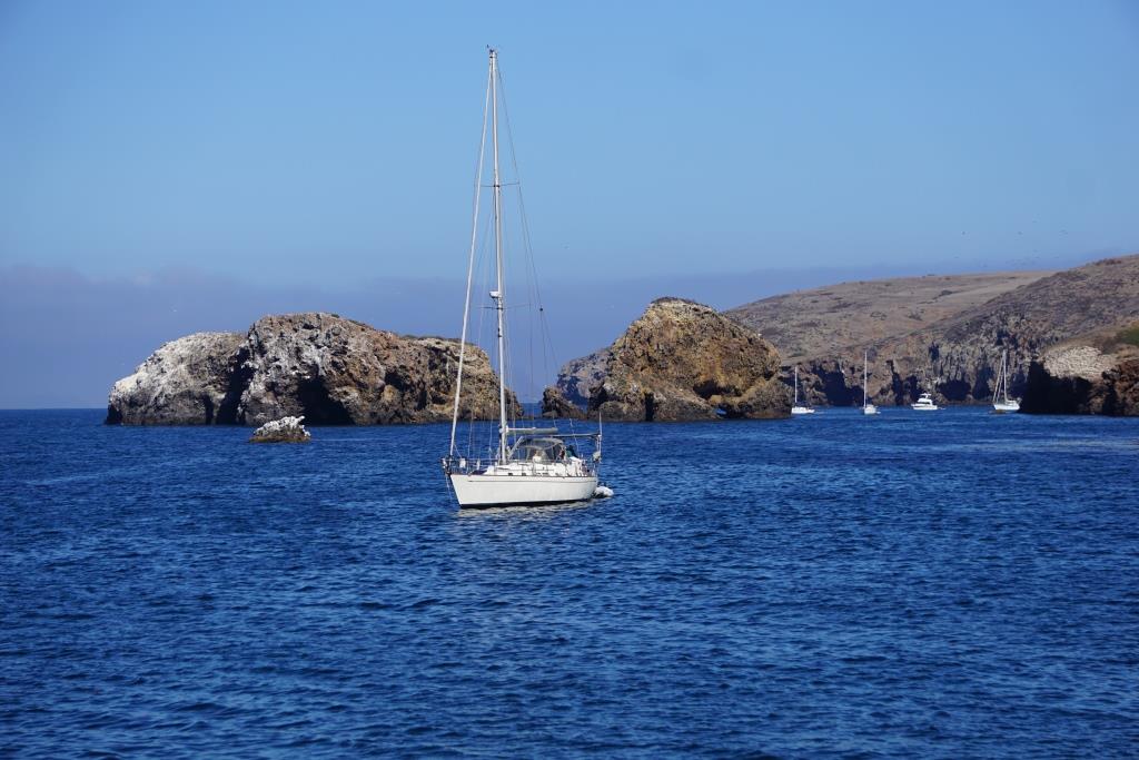
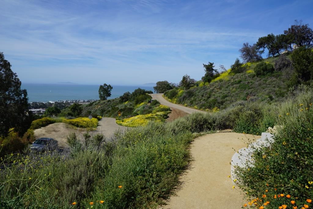
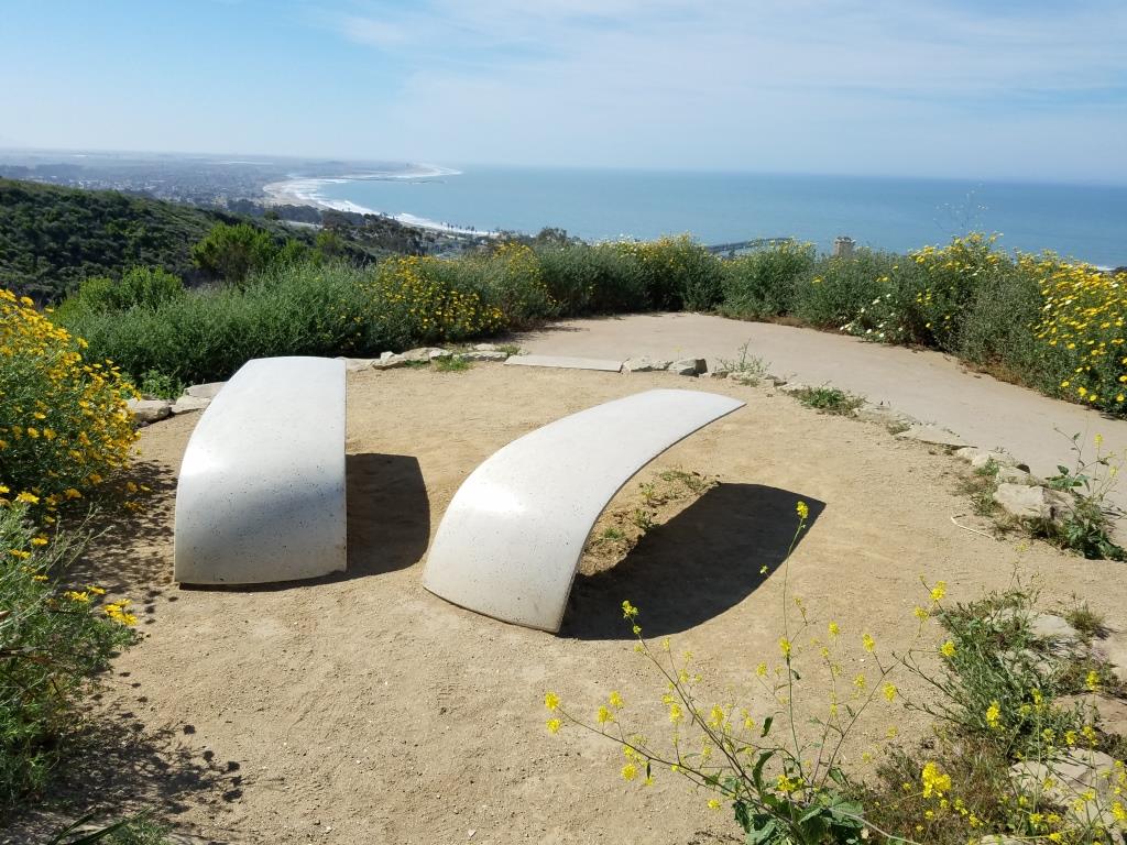
Views of the Scorpion Rock area of Santa Cruz Island
It takes roughly an hour to an hour and a half to get to the island, where activities including hiking, snorkeling, exploring the beach, kayaking and learning about the history of the island.
Whatever you bring to the island, you must bring back with you. There are no trash receptacles, stores, vending machines, eateries, so be prepared when you visit with food, water, sunscreen, etc. There is also year-round camping available at both locations on Santa Cruz Island, with water available only at the Scorpion Anchorage campground.
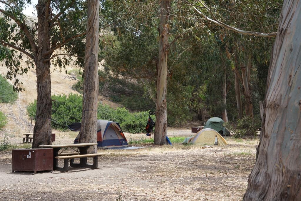
Campground at Scorpion Anchorage
Kayaking is of particular interest at Scorpion Anchorage, as you can explore the nearby sea caves. Guided tours are also available from third parties like the Santa Barbara Adventure Company.

Kayaking is quite popular at Santa Cruz Island
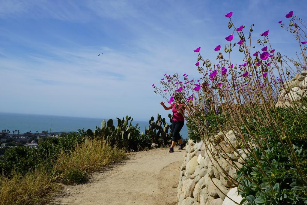
We also saw wildlife at Santa Cruz Scorpion Anchorage including an island fox, otters, all sorts of bird and more. The moderately challenging, two mile Cavern Point Loop hike provided magnificent views of the coast.
There is also a small, yet quite informative visitor center where you can really learn a lot about the history of the island. I was shocked actually to learn that to the south of Santa Cruz Island is a 150 million year old sedimentary rock and that the world's largest collection of sea caves populate the volcanic rocks of the north shore of the island. Also, during the last Ice Age, the sea level was lower and the four northern Channel Islands (San Miguel, Santa Cruz, Santa Rosa, Anacapa), were joined as a single island known as Santa Rosae.

This timid island fox swung by our picnic spot at Scorpion Ranch. National Park Service asks the public not to feed the wildlife for a variety of reasons, and we obliged.
Channel Islands National Park is comprised of five of the eight Channel Islands; San Miguel, Santa Rosa, Santa Cruz, Anacapa and Santa Barbara. Learn more about Channel Islands National Park at www.nps.gov/chis. Learn how to get to the islands via Island Packers at islandpackers.com.
Visit the Robert J. Lagomarsino Visitor Center at Channel Islands National Park, located at near Ventura Harbor Village, for a wealth of information, video and displays regarding the Channel Islands.