Learn About the Channel Islands at the Robert J. Lagomarsino Visitor Center in Ventura

For a fun, educational and local family field trip, visit the Robert J. Lagomarsino Visitor Center at Channel Islands National Park at the Ventura Harbor. This visitor center is free of charge and features a bookstore, marine aquatic life exhibits, a nicely done 25 minute movie, "A Treasure in the Sea" and friendly National Park Service staff to answer your questions.

CIVisitorCenter_1.JPG

Located at 1901 Spinnaker Drive, Ventura, the visitor cneter is open 8:30 am until 5 pm daily. On weekends and holidays (except Thanksgiving and Christmas Day) at 11 am and 3 pm, rangers offer a variety of free public programs covering the resources of the park. Click here for programs and events scheduled at the visitor center. Call 805.658.5730 for more information.

Nice scale model of the Channel Islands on display at the Visitor Center

Nice scale model of the Channel Islands on display at the Visitor Center

Indoor tidepool in the Visitor Center always grabs the kids' attention, along with other displays.

Indoor tidepool in the Visitor Center always grabs the kids' attention, along with other displays.

Deck on the 2nd floor of the Visitor Center has views towards Ventura Harbor and the ocean.

Deck on the 2nd floor of the Visitor Center has views towards Ventura Harbor and the ocean.

This placard on the second floor viewing deck of the visitor center reads as follows:

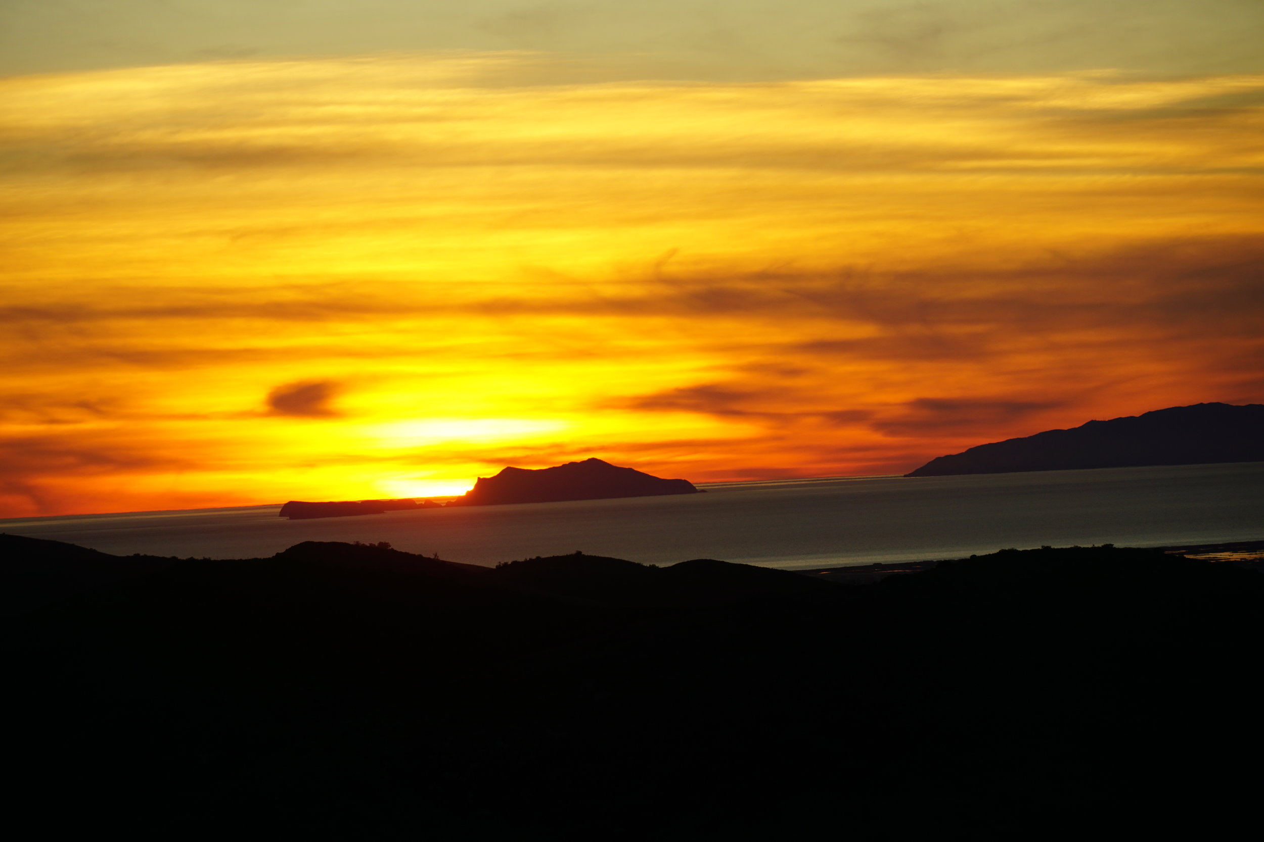
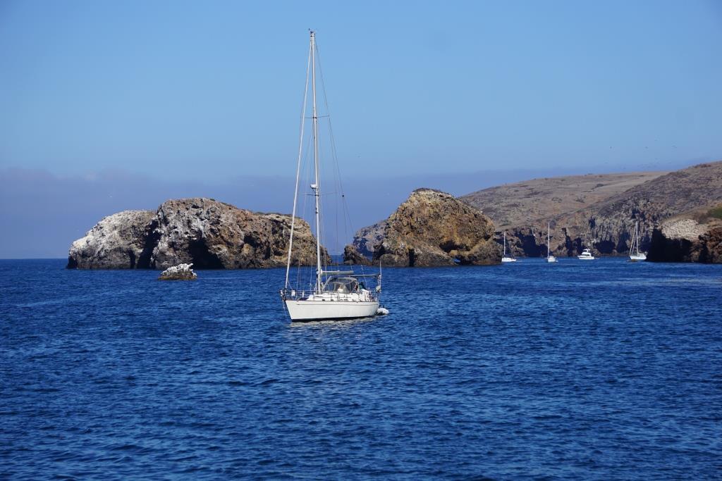
On a clear day you can see two of the five islands that compose the Channel Islands National Park - Anacapa and Santa Cruz. The park boundary also includes the waters one nautical mile out around the islands. The Channel Islands National Marine Sanctuary extends an additional five nautical miles out.

The Anacapas: When you look through the telescope (on the deck...or from other locations in Ventura County) you can see that Anacapa actually consists of three small islets. The Chumash Indians called Anacapa "Anyapa" meaning "ever-changing." It is an appropriate name as changing weather conditions modify the island's appearance. If you look at East Anacapa Island you may be able to see the lighthouse and the hole in the middle of arch rock.

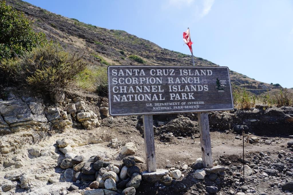
Santa Cruz Island: Santa Cruz is the largest and topographically the most diverse of the Channel Islands. The highest point of Santa Cruz is Mount Diablo. It is nearly 2,400 feet high and is the highest mountain found on any of the Channel Islands.

Distance from Ventura (in miles): Anacapa (15), Santa Cruz (21), Santa Rosa (47), San Miguel (63) and Santa Barbara (52).

Live Stream of Anacapa Islands Cove in Channel Islands National Park

Explore.org is the largest live nature cam network on the earth. In partnership with the National Park Service and Ventura County Office of Education, Explore has a local cam in place on Anacapa Island here in Ventura County off the coast of Port Hueneme.

There are several views from this webcam located within the landing cove on the east islet of Anacapa. There is a view north towards the mainland, a view east towards Arch Rock, a view southeast towards the historic Anacapa Island lighthouse, a view east towards a seabird rookery and a view downward towards the landing cove.

Anacapa has the unique distinction as being the only Channel Island that does not have a Spanish-derived name. Anacapa is derived from a Chumash word for "mirage island." The island is composed of narrow islets stretching six miles. 

There are actually eight Channel Islands, five of which are part of Channel Islands National Park. Anacapa is the second smallest of the eight islands at only 1.14 square miles. Santa Barbara is the smallest, at 1.02 square miles.

Visit Anacapa Island through Island Packers.

More on Channel Islands National Park at THIS LINK.

On a clear day you can see Anacapa Island from Newbury Park at the Rancho Potrero Open Space and other locations.

On a clear day you can see Anacapa Island from Newbury Park at the Rancho Potrero Open Space and other locations.

Murals at the South End of Silver Strand Beach in Oxnard, Labor Day 2019

Labor Day 2019 was actually my first time at the far south end of Silver Strand Beach, south of the Channel Islands Harbor in Oxnard. I ran there from the Harbor via Victoria Avenue down to the end of Ocean Drive, where it dead ends at Sawtelle Avenue.

BEACHES IN MALIBU, POINT MUGU, POINT HUENEME AND OXNARD

On the other side of this wall is a park dedicated to the 500 foot La Jenelle shipwreck here in April 1970. Portions of the ship remain, filled with rocks, as part of a jetty there at the south end of Silver Strand. La Jenelle Park lies on the other side of the wall and fence.

September 2 (Labor Day 2019) will be a day of mourning in the local area, as it was the day that 34 people lost their lives aboard the Conception off the coast of Santa Cruz Island.after a fire broke out on the ship around 3 in the morning. Five crew members escaped. The Conception was chartered for a 3-day scuba diving voyage.

Clear View of Anacapa Island from Newbury Park this Final Friday of January 2019

The coast was clear tonight as we viewed several of the Channel Islands from the Rancho Potrero Open Space this final Friday of January 2019. Perhaps the coast IS clear now that the longest federal government shutdown in U.S. history ended today, January 25th. Or perhaps not. We will monitor the situation from one of our many perches with a view here in the beautiful Conejo Valley.

Sauces Canyon Bald Eagle Footage on Santa Cruz Island During April 5 Earthquake

There is a live cam in place in the Sauces Canyon of Santa Cruz Island that allows researcher and the general public to observe a bald eagle nest. This nest was in for some action today as a 5.3 magnitude earthquake originated just south of the island! 

Watch the video feed below for live action.

Visiting Santa Cruz Island, the Largest of the Eight Channel Islands of California

East Santa Cruz Island Scorpion Anchorage, viewed from the Cavern Point trail.

East Santa Cruz Island Scorpion Anchorage, viewed from the Cavern Point trail.

Santa Cruz Island is 22 miles long and ranges from two to six miles wide, making it the largest of the eight Channel Islands at nearly 62,000 acres. It is one of four islands that are located in Santa Barbara County (the others are San Miguel, Santa Cruz and the smallest of the eight islands, Santa Barbara Island).

Californian Channel Islands map en

The island has been occupied for over 9,000 years, including thousands of years by the Chumash Indians. In 1769, the expedition of Don Gaspar de la Portola reached the island. He and two Fathers traveling with him brought a staff with a cross on it, were well received, but realized they left the staff on the island. The Indians realized this and brought the staff to the ship the next day via canoe. The Spanish were so impressed by this that they called the island, the Island of the Holy Cross (Santa Cruz).

After Mexico became independent of Spain in 1821, the island became Mexican owned, then California became a state in 1950 and the island came with it. Sheep were brought to Santa Cruz Island in the 1850s and by 1864, 24,000 sheep grazed on it. Sheep operations continued on the island until the 1980s. Today, the National Park Service owns and operates 24% of Santa Cruz Island as part of Channel Islands National Park.  The remainder of the land is managed by The Nature Conservancy, the University of California Field Station and the Santa Cruz Island Foundation.

Access to the island is primarily through private concessionaire, Island Packers, from the Ventura Harbor and Channel Islands Harbor. The two island destinations open to the public are East Santa Cruz at Scorpion Ranch (also referred to as Scorpion Anchorage) and Mid Santa Cruz at Prisoners Harbor (so named as a result of a short-lived occupation of the area by convicted Mexican prisoners in 1830).

Views of the Scorpion Rock area of Santa Cruz Island

Views of the Scorpion Rock area of Santa Cruz Island

It takes roughly an hour to an hour and a half to get to the island, where activities including hiking, snorkeling, exploring the beach, kayaking and learning about the history of the island. 

Whatever you bring to the island, you must bring back with you. There are no trash receptacles, stores, vending machines, eateries, so be prepared when you visit with food, water, sunscreen, etc. There is also year-round camping available at both locations on Santa Cruz Island, with water available only at the Scorpion Anchorage campground.

Campground at Scorpion Anchorage

Campground at Scorpion Anchorage

Kayaking is of particular interest at Scorpion Anchorage, as you can explore the nearby sea caves. Guided tours are also available from third parties like the Santa Barbara Adventure Company.

Kayaking is quite popular at Santa Cruz Island

Kayaking is quite popular at Santa Cruz Island

We also saw wildlife at Santa Cruz Scorpion Anchorage including an island fox, otters, all sorts of bird and more. The moderately challenging, two mile Cavern Point Loop hike provided magnificent views of the coast.

There is also a small, yet quite informative visitor center where you can really learn a lot about the history of the island. I was shocked actually to learn that to the south of Santa Cruz Island is a 150 million year old sedimentary rock and that the world's largest collection of sea caves populate the volcanic rocks of the north shore of the island. Also, during the last Ice Age, the sea level was lower and the four northern Channel Islands (San Miguel, Santa Cruz, Santa Rosa, Anacapa), were joined as a single island known as Santa Rosae.

This timid island fox swung by our picnic spot at Scorpion Ranch. National Park Service asks the public not to feed the wildlife for a variety of reasons, and we obliged.

This timid island fox swung by our picnic spot at Scorpion Ranch. National Park Service asks the public not to feed the wildlife for a variety of reasons, and we obliged.

Channel Islands National Park is comprised of five of the eight Channel Islands; San Miguel, Santa Rosa, Santa Cruz, Anacapa and Santa Barbara. Learn more about Channel Islands National Park at www.nps.gov/chis. Learn how to get to the islands via Island Packers at islandpackers.com.

Visit the Robert J. Lagomarsino Visitor Center at Channel Islands National Park, located at near Ventura Harbor Village, for a wealth of information, video and displays regarding the Channel Islands.

History on Display at the Channel Islands Maritime Museum in Oxnard

Located in the Channel Islands Harbor next to The Whales Tail Bar & Grill, the Channel Islands Maritime Museum houses an outstanding collection of maritime art, objects and unique ship models.

CIMM_front.JPG

The Museum is home to a permanent collection of extensive marine art, featuring works by 17th century Dutch and Flemish artists Willem van de Velde and Bonaventura Peeters. Noted modern artists in the collection include John Stobart, Montague Dawson, David Thimgan, Roy Cross and Christopher Blossom.

CIMM_ship2.JPG

The museum houses one of the two largest collections of antique Napoleonic prisoner of war sailing ship models in the country. Three thousand years of maritime history are illustrated by historic ship models, including the life's work of renowned builder Edward Marple. Exhibits on whaling, sailors' arts and the history of the Channel Islands Harbor and Port of Hueneme round out the collection.

CIMM_pic.jpg

The Museum also hosts lectures. temporary exhibits, open houses and more.

CIMM_ship2.JPG

The museum is open Thursday to Monday from 11 AM to 5 PM. Admission is $7 for Adults, $5 for Seniors (62+) and $3 for children ages 6 to 17 (as of October 2016). Admission is FREE the 3rd Thursday of each month. For more information, visit www.channelislandsmaritimemuseum.org or call 805.984.6260.