Century Lake at Malibu Creek State Park
/
According to the Malibu Creek Docents, around 1903, the Crags Country Club constructed a 50 foot tall dam on its 2,000 acre property on what is now Malibu Creek State Park. The dam created a seven acre lake that club members used for fishing and duck hunting.
The Club closed in 1936, and 10 years later, 20th Century Fox Studios purchased the property to film movies and TV shows on what was renamed Century Ranch. The 1968 "Planet of the Apes" featured many prominent scenes shot here.
This is an awesome video showing Planet of the Apes (1968) film scenes at Malibu Creek State Park and local area beaches then and today.
As for the lake, it is now referred to as Century Lake, a hiking destination in Malibu Creek State Park. Only 1 1/2 miles from the parking area, Century Lake is in a secluded area, where you can eat your lunch at the picnic table and enjoy serenity (usually, depending on who else is there). I believe it is fine to wade in the water and even kayak in there if desired. although I've never seen anyone do so.
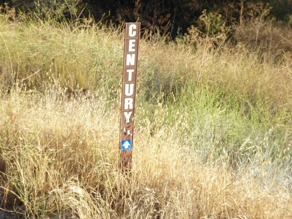
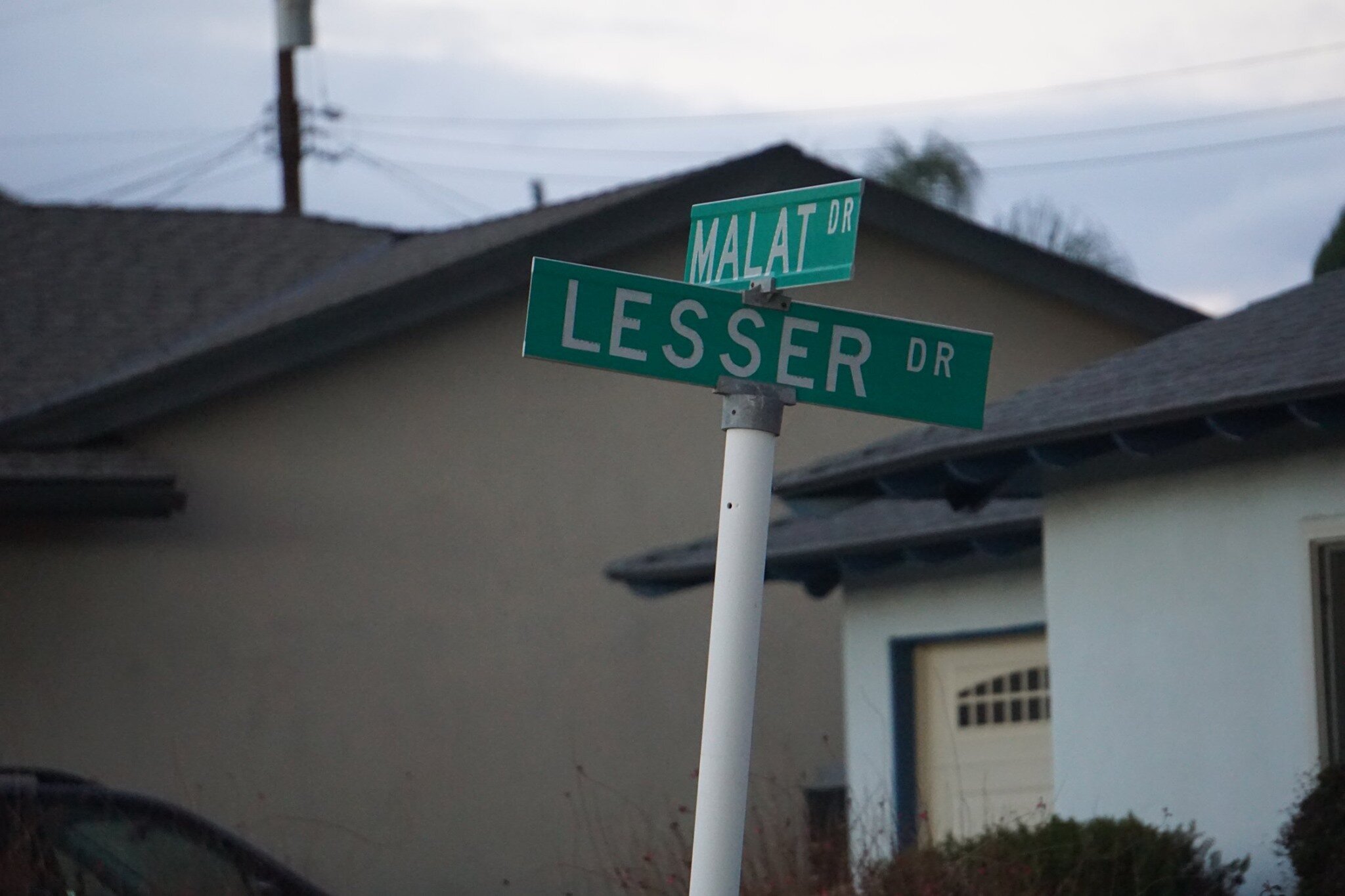
Century Lake is a left hand turn from the main Crags Road trail, after cresting the only significant hill going down the other side. The only indicator is this narrow sign.
The hike has a moderately steep hill in it, but otherwise is quite flat and easy to do with kids and/or a stroller.
Malibu Creek State Park has something for everyone...camping, a visitor center, the "Rock Pool," the M*A*S*H set, the old Reagan Ranch, Century Lake, over 35 miles of trails, rock climbing (near the Rock Pool) and more.

The Century Dam is shown in this image. You don't wanna fall down that dam. Off limits.