Triunfo Canyon Trail in Westlake Village
/
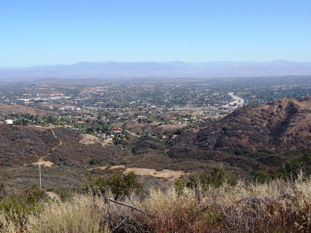
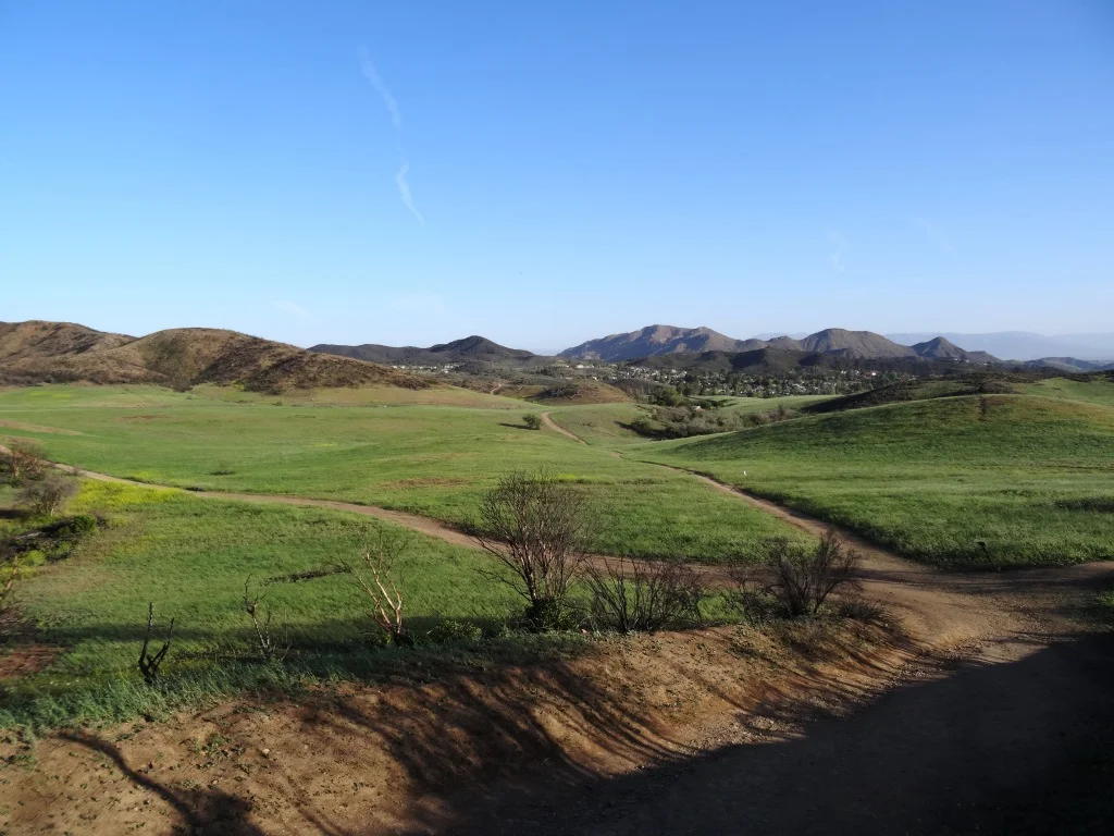
If you are looking for peaceful trails and outstanding panoramic views of the Conejo Valley from Thousand Oaks to Westlake Village, Hidden Valley and beyond, take a look at the Triunfo Canyon Trail, accessible from Triunfo Community Park, Triunfo Canyon Road at Tamarack Street in Westlake Village.
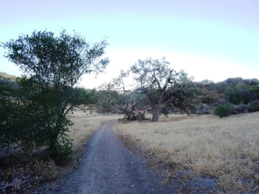
The trailhead is on the northwest end of the park, near the tennis courts. It is a beautiful, winding, single track canyon trail for most of the first mile or so, then links up to the main Los Robles Trail and utility road, which is much wider.

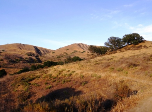
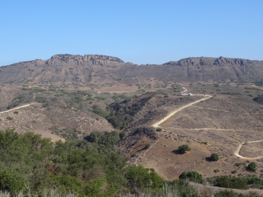
Views of the Westlake Lake area from the Triunfo Canyon Trail.
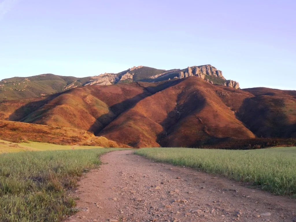
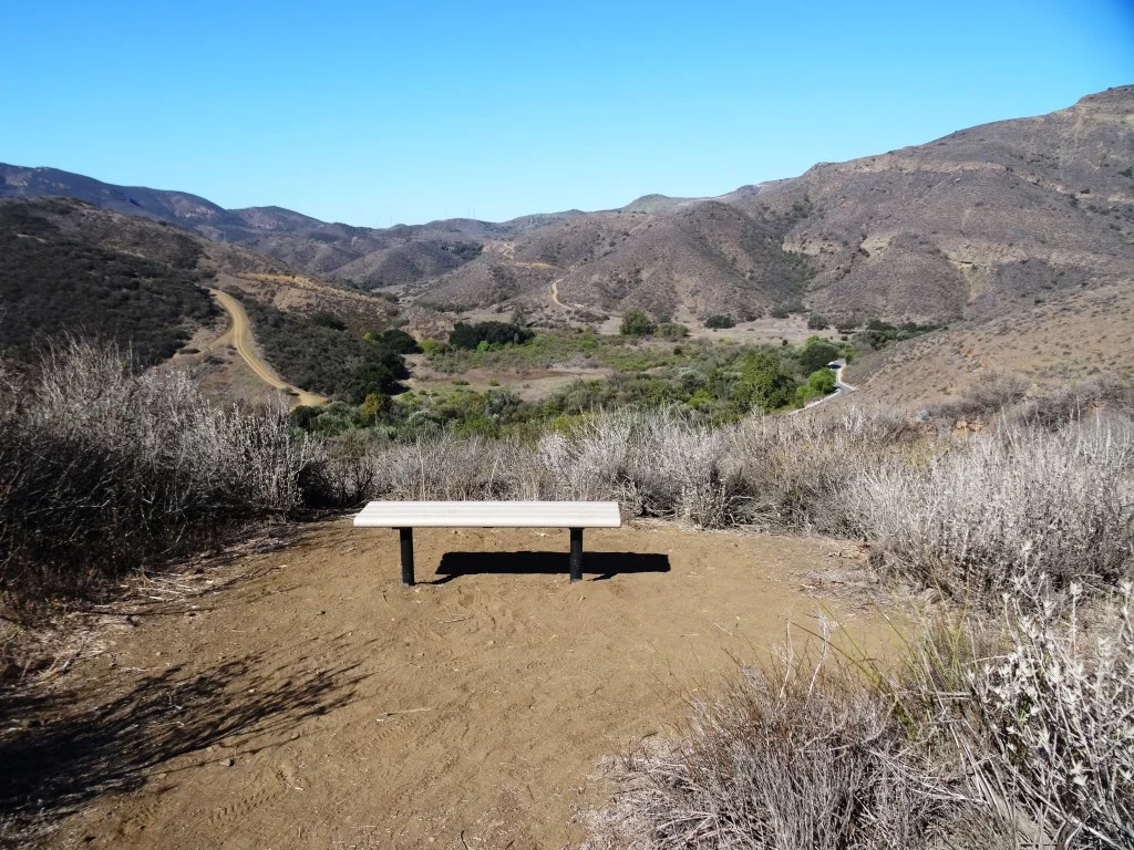
You'll discover some steps to a bench at the top offering a birds eye view of the surrounding areas. It really is spectacular up there and the images here don't come close to doing the view justice.

Bench at the top of the hill allows you to catch your breath and take in the sights.

From the bench, either turn around and go back down the hill or continue your way on if you'd like to the Los Robles Trail, above the Los Padres Trail.
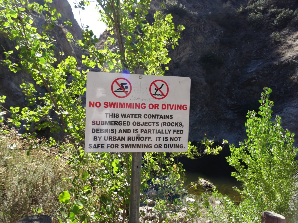
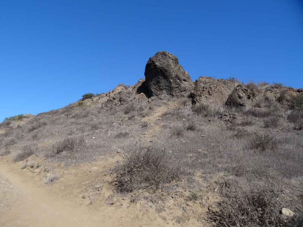
One thing I'll say about these trails is that they seem particularly rocky, so wear decent shoes, as you don't want to twist your ankle. A bit of a climb to get up there; about 1,000 feet.
Learn more about the trail on the Conejo Open Space Foundation website at cosf.org/trails/los-robles/los-robles-moderate-hike-triunfo-park-to-east-los-robles-trail.