Triunfo Creek Park in Westlake Village
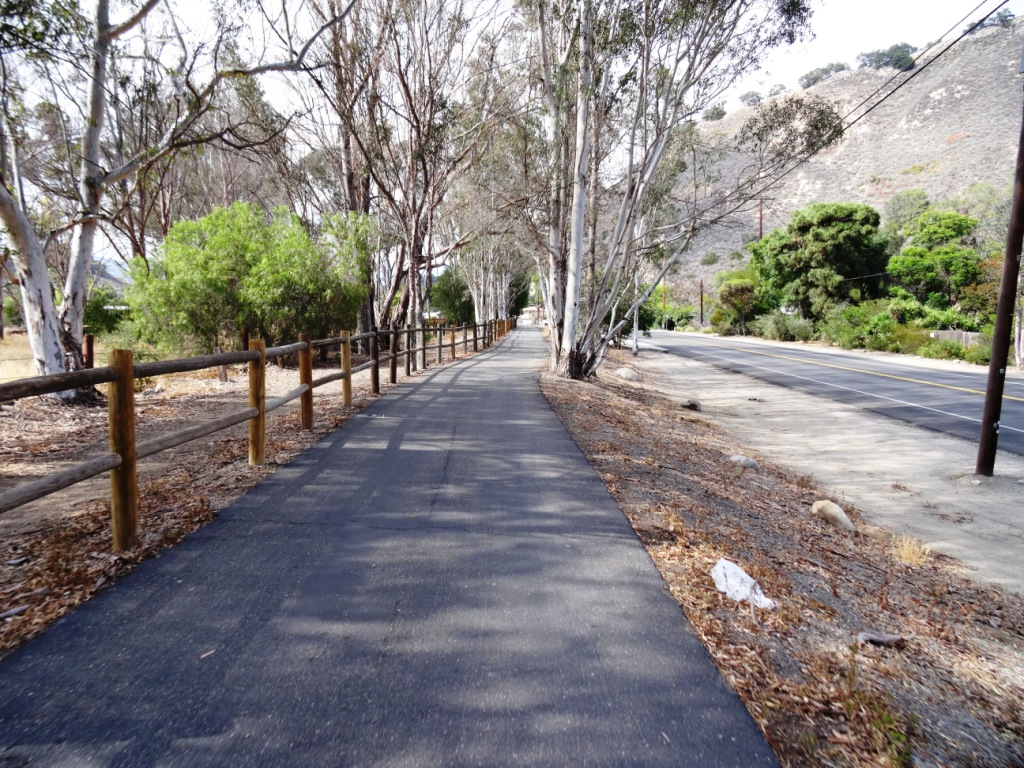
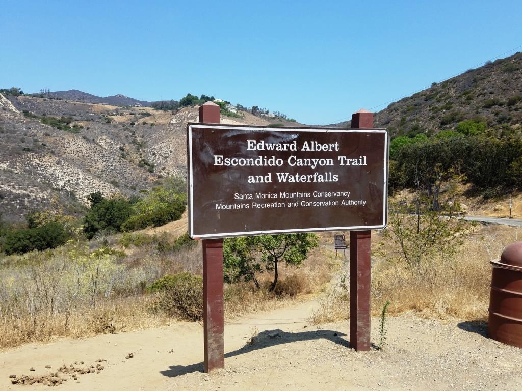
/Owned and maintained by the Santa Monica Mountains Conservancy, the 600-acre Triunfo Creek Park in Westlake Village/Agoura contains deep oak woodland, native grasslands and blankets of wildflowers in the springtime. The main feature of the park, the Pentachaeta Trail, is named after the Pentachaeta lyonii, a federally-listed endangered flower found in the park. The yellow, daisy-like flower is found only in Southern California, and blooms between April and June.

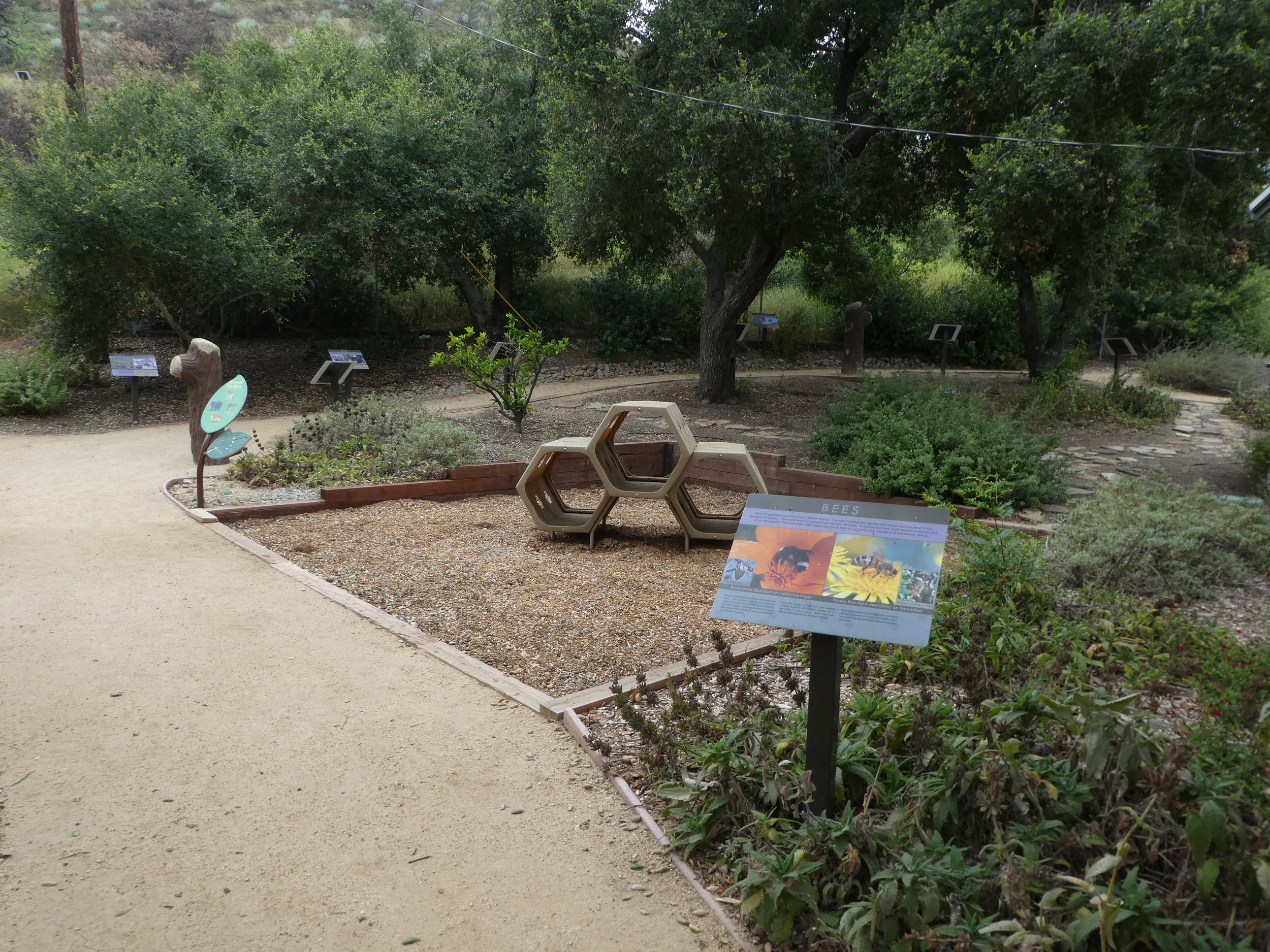
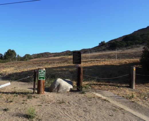
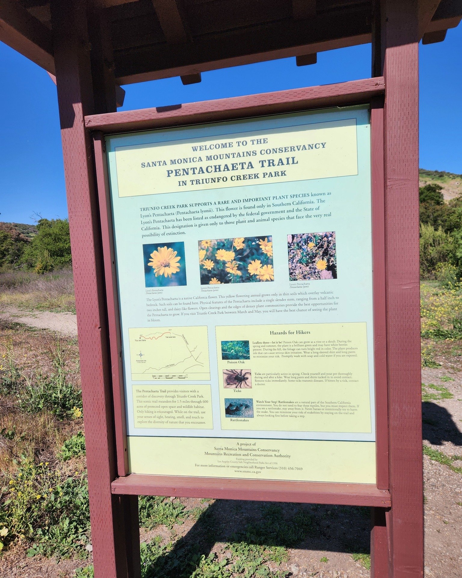
An informational kiosk at the trailhead interprets the Pentachaeta lyonii, as well as other unusual wildflowers found on the site such as the Chocolate Lily, and the White Globe Lily. The site also provides access to hiking trails on the Westlake Vista parcel, also owned and managed by the Conservancy.


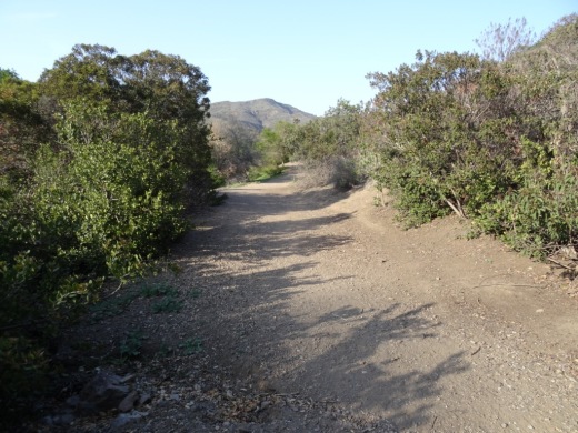
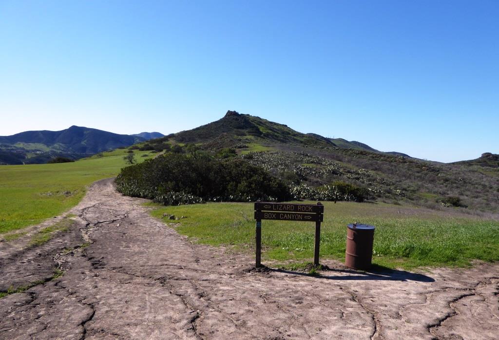
Pentachaeta Trail to the east. Westlake Vista Trail towards the Las Virgenes Reservoir on the west.

Pretty flowers off the Pentachaeta Trail in March 2016.


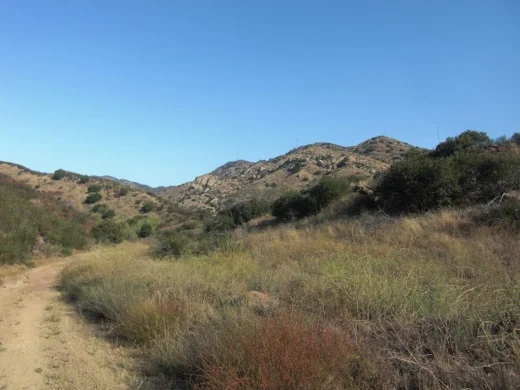
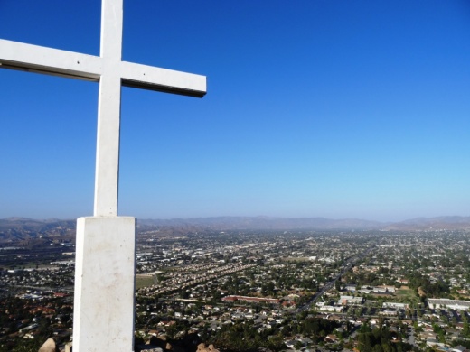
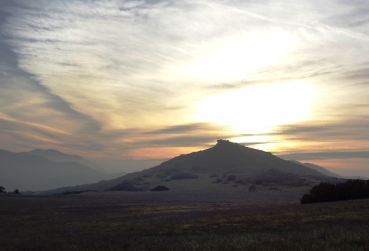
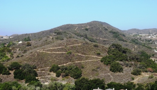
Views from Westlake Vista Trail towards, well, but of course, Westlake Village

Las Virgenes Reservoir in close proximity to Westlake Vista Trail.
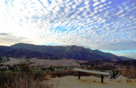
The Westlake Vista Trail takes you to a fence that encloses the Las Virgenes Reservoir, where you may be treated to sounds of birds and other wildlife. Find the trail that parallels the fence up the mountain and you will be treated to gorgeous views of the area down to Westlake Lake and beyond and the Santa Monica Mountains to the south.
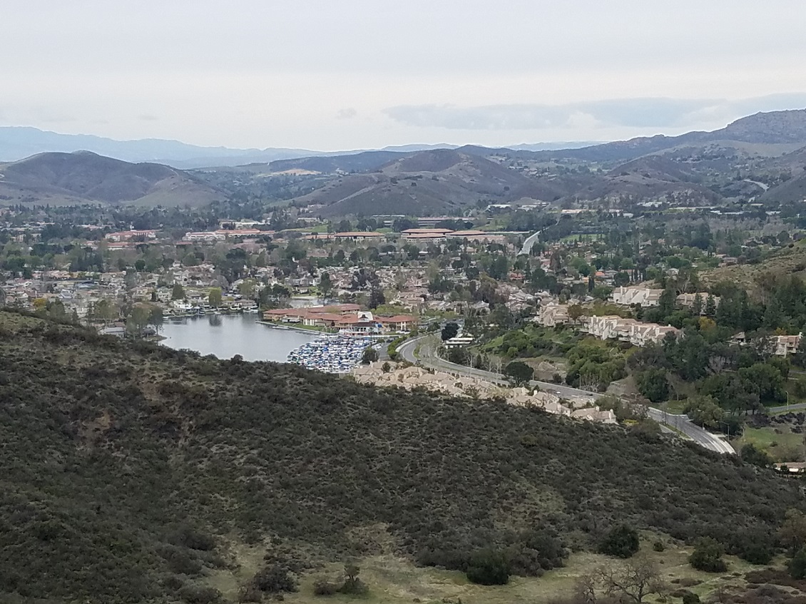
Views towards Westlake Lake from the Westlake Vista Trail.
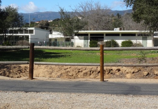
Directions: The main trailhead with kiosk is on Triunfo Canyon Road east of the southern terminus of Lindero Canyon Road. There are a small number of off-pavement parking spots there. The other end of the trail is at the west end of Triunfo Canyon Road about 1.5 miles west of Kanan Road.
Directions: From the 101 Freeway in Westlake Village exit Lindero Canyon Road. Take Lindero south to Triunfo Canyon Road. Turn left. The trailhead is located opposite Oak Forest Mobile Homes.
Visit mrca.ca.gov/parks/park-listing/triunfo-creek-park for more information.

Map courtesy of Santa Monica Mountains Conservancy at THIS LINK. (Note that Truinfo is a typo on map; actual spelling is Triunfo. But at least is was consistently misspelled not once, not twice, but seven times lol.)

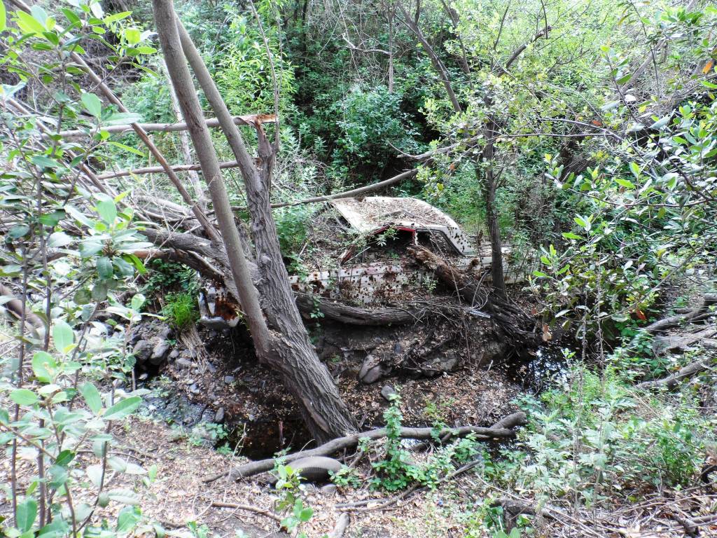
Demolished car sitting near Westlake Vista Trail.