Hill Canyon, Hawk Canyon and Western Plateau Trails in Thousand Oaks
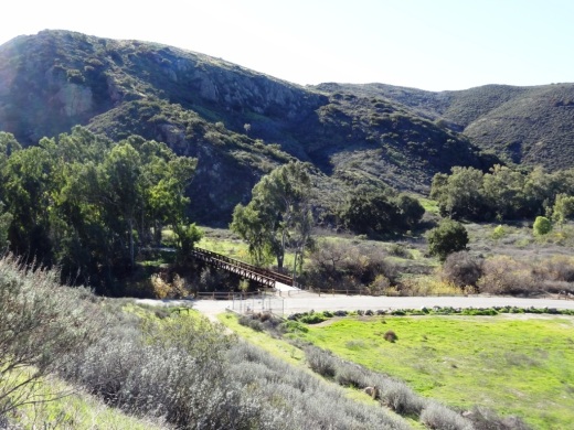
/In 2012, the Conejo Canyons bridge was constructed in Thousand Oaks, opening up more trails to explore in the Western Plateau area of Thousand Oaks, which ties into Wildwood Park. Visit cosf.org/trails/conejo-canyons for trail maps.
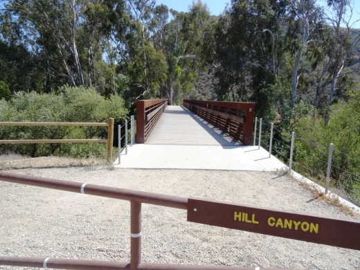
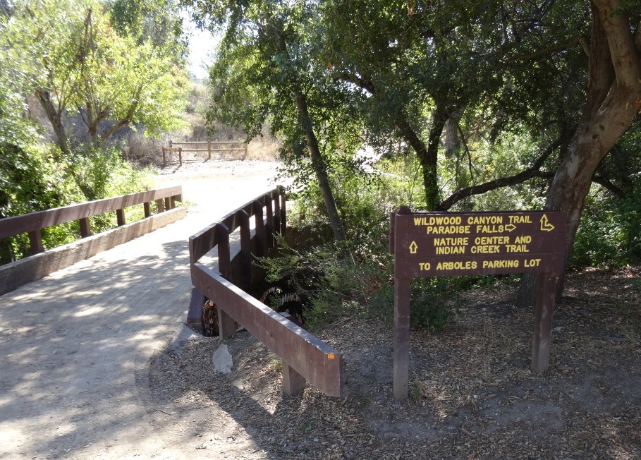
The Hill Canyon bridge that takes you to all the action!
Access the Conejo Canyons bridge to get to the Hill Canyon Trail, a flat path that after a mile takes you to an intersection where you can go straight ahead to the Hawk Canyon Trail, take a right turn to the Western Plateau Trail or veer left to make your way to the Arroyo Conejo Trail that takes you about 2 1/2 miles to the Rancho Conejo Playfields in Newbury Park.

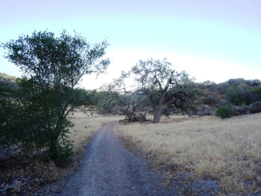
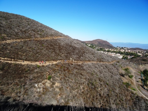
The Hill Canyon Trail is as flat as they come. I see bikers, hikers and runner back here.

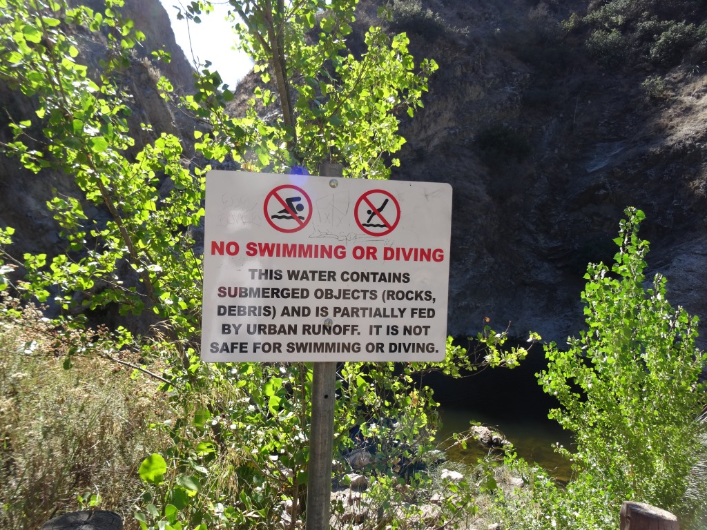
This creek parallels the Hill Canyon Trail

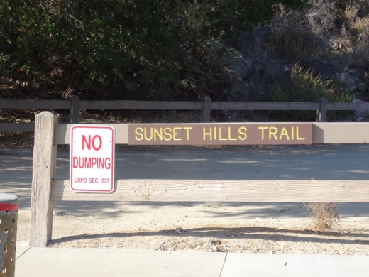
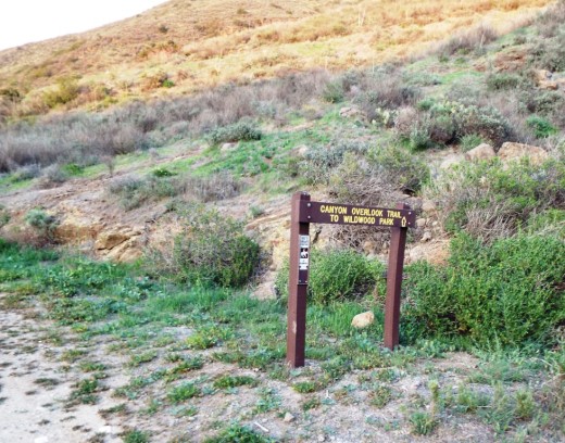
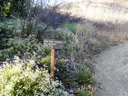
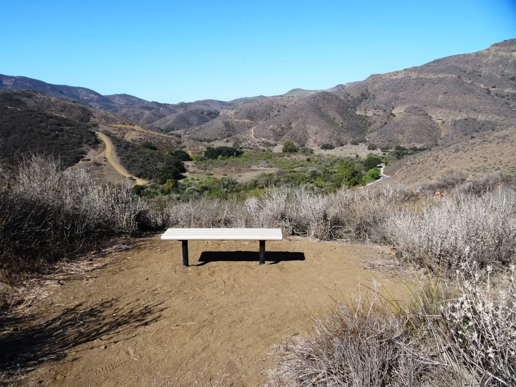
One path I enjoy is the Hill Canyon Trail to the Hawk Canyon Trail, which veers right towards the Western Plateau Trail, which loops back to Hill Canyon Trail. Do look at a map first as signs are not always at trail junctures (the sign above is clearly an exception!). You can actually take the Hawk Canyon Trail as well as Western Plateau Trail to Newbury Park.
There’s also the Elliot Mountain Trail and Outlaw Loop Trail, accessible from the Western Plateau Trail.

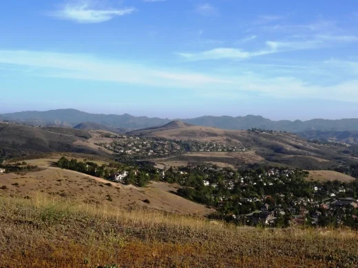
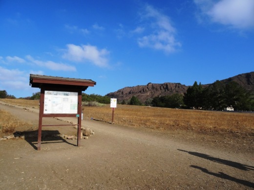
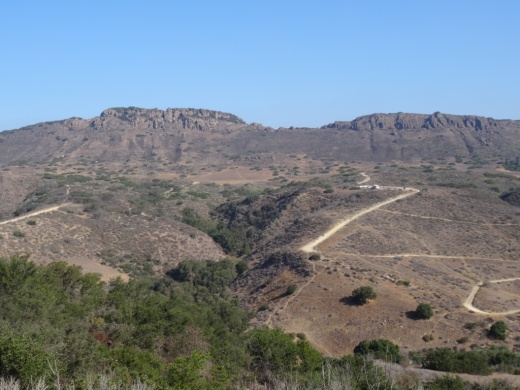
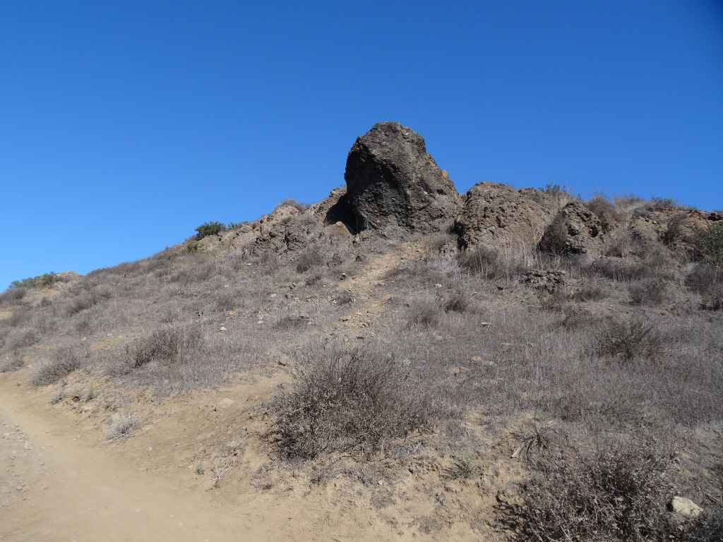
Western Plateau Trail
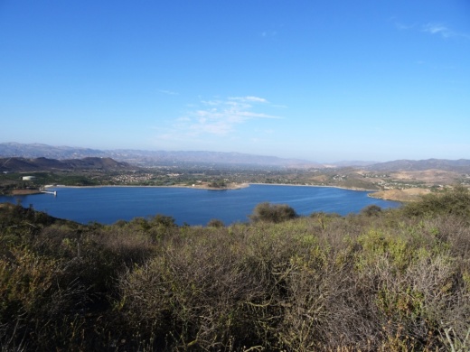
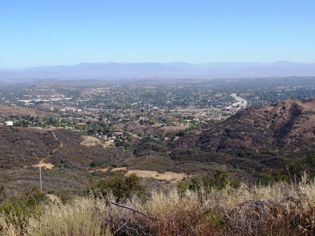
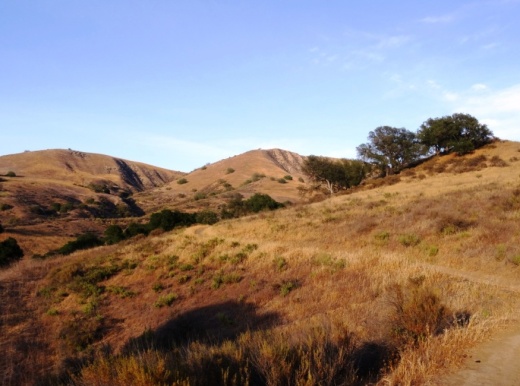
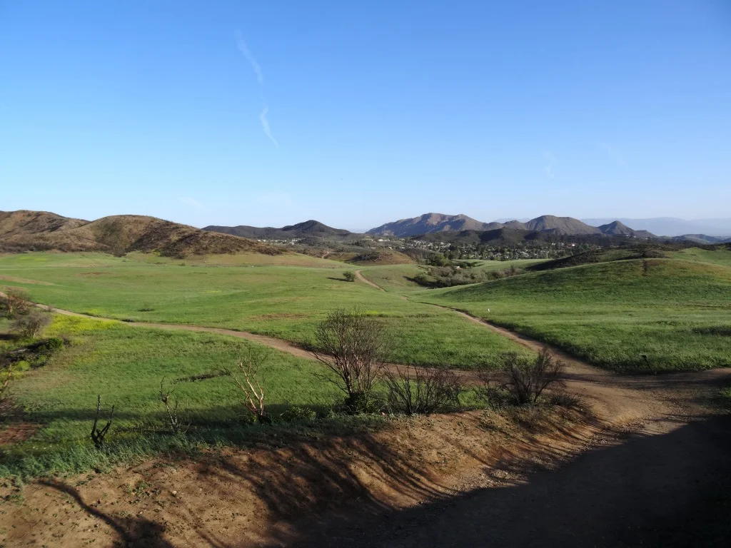
When you reach the Western Plateau Trail, if you go just a bit further north/northeast, you'll be rewarded with great views down the Conejo Grade towards Camarillo and the Oxnard Plain.

Views from the Western Plateau Trail on a bit of an overcast June morning
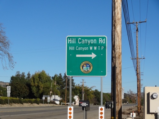
Access the Conejo Canyons bridge via Santa Rosa Road. Coming from Thousand Oaks, take Moorpark Road north down the Norwegian Grade, where it intersects with Santa Rosa Road. Continue about 3.7 miles on Santa Rosa Road and make a left on Hill Canyon Road. Drive down Hill Canyon Road and you will see a large, flat dirt parking area on the right, adjacent to Santa Rosa Valley Regional Park.