Calabasas Trolley

calabtrolley.jpg

The City of Calabasas offers free trolley service on Saturdays between the hours of 10am and 3pm.

There are 24 stops over a one hour duration on Saturday at the following locations:

  • Las Virgenes Road at Thousand Oaks Blvd (0:00)

  • Agoura Road at Las Virgenes (Albertson's) (0:03)

  • Agoura Road at Lost Hills Road (Summit) (0:04)

  • Parkville Road at Grape Arbor Park (0:05)

  • Malibu Hills Road at Agoura Road (Community Center (0:08)

  • Lost Hills Road at Las Virgenes (de Anza Park) (0:10)

  • Mureau Road at Las Virgenes Road (0:16)

  • Parkway Calabasas at Calabasas Road (0:22)

  • Parkway Calabasas at Park Granada (0:23)

  • Parkway Calabasas at Camino Portal (0:25)

  • Parkway Calabasas at Paseo Primario (North) (0:26)

  • Park Granada at Park Capri (0:28)

  • Park Sorrento at Avanti (0:29)

  • Calabasas Road at El Canon (Old Town) (0:31)

  • Mulholland at Paul Revere Drive (0:36)

  • Mulholland at Declaration Ave (0:37)

  • Mulholland at Mobil Home Park (0:40)

  • Old Topanga Canyon at Calabasas High School (0:43)

  • Old Topanga Canyon at Wrencrest Drive (0:44)

  • Park Sorrento at Park Ora (0:45)

  • Park Sorrento at Park Mirasol (Tennis & Swim Center) (0:47)

  • Park Sorrento at Park Granada (0:48)

  • Park Sorrento at Civic Center Way (Civic Center) (0:51)

  • Mureau Road at Las Virgenes Road (0:58)

Learn more at www.cityofcalabasas.com/government/public-works/transportation-transit/public-transit-services

Oak Creek Canyon Loop Trail in Thousand Oaks

The Oak Creek Canyon Loop Trail is about a mile hike that is great to do with the kids near the Los Robles Trail in Thousand Oaks.

Get there by taking Moorpark Road south of the 101 until it ends at Greenmeadow Avenue. Turn right and drive about half a mile to the parking lot.

Signs along the Oak Creek Canyon Whole Access Interpretative Trail are in braille.

Signs along the Oak Creek Canyon Whole Access Interpretative Trail are in braille.

The first .4 mile section of trail is called the Oak Creek Canyon Whole Access Interpretive Trail and is a mostly shaded oak grove area that is accessible by all, including equestrians, bicycles, hikers, wheelchairs, disabled and blind individuals. There is actually a "guide cable" along the fence as well as informational signs in braille.

One of three picnic benches along the Interpretive Trail.

One of three picnic benches along the Interpretive Trail.

There is a restroom, drinking fountain and picnic bench at the trailhead as well as two other picnic tables and a bench on this portion of the trail. There is also abundant poison oak on the sides of the trails, so be careful to stay on the trail.

OakCreekTrail3

At the end of the Interpretive Trail section of the loop, you reach a well maintained dirt trail through the chaparral that is a bit more challenging and ok for most kids. There's a few moderate hills to be aware of, making it somewhat of a challenge with a stroller but in my opinion, a do-able challenge. And of course, you can always turn around and take the Interpretive Trail back. 

The loop trail continues on the left.

The loop trail continues on the left.

One of the moderate hills on the trail.

One of the moderate hills on the trail.

You go about .4 mile back towards Greenmeadow. Before you get to the street you will see a bench on the west side of the trail. Do be aware that there is no sidewalk on this section of Greenmeadow as you walk back towards the parking area. More information and a map available on the Conejo Open Space Foundation website at cosf.org/trails/los-robles.

Veterans of Foreign Wars Military History Museum at the Simi Valley Town Center

MuseumMilHist1.JPG

The Veterans of Foreign Wars Post 10049 and Simi Valley Town Center host an impressive display of historic military posters and memorabilia at the VFW Military History Museum.

Hundreds of military posters and historical artifacts are on display that were graciously provided by local veterans and collectors. Artifacts include old weapons, munitions, posters, newspapers, uniforms and much more. Several Vietnam Veterans were on hand, imparting stories and background information to us as we strolled around.

Hours are 11am to 4pm on weekends There is no admission fee, though donations are encouraged to support local veterans.

Call 805.583.9722 for more information.

MilitaryHistMusSV_front.JPG
MilitaryHistMus0.JPG
MuseumMilHist2.JPG
Military Mule with armament (not live of course lol) on display.

Military Mule with armament (not live of course lol) on display.

Oakbrook Vista Trail in Thousand Oaks

The Oakbrook Vista Trail is a moderate out and back climb that provides nice panoramic views of the Lang Ranch area of Thousand Oaks. Access to the trail is on the south side of Lang Ranch Parkway, just east of Westlake Boulevard. See access point below.

OakbrookVista1.JPG

The first portion is a narrow trail that zig zags its way to a bench, where you can rest and enjoy the views. But I'd estimate this is only 1/4 of a mile, so keep going if you're game!

OakbrookVista2.5.JPG

After the bench, the trail opens up and continues up and up and up and if you reach the top, roughly a mile or so up the hill, you'll be enjoying 360 degree views towards Boney Mountain on the west, Lang Ranch/Woodridge trails on the north and more.

OakbrookVista4.JPG
OakBrookVista3.jpg
Same view as above, in May 2020.www.cosf.org/website/html/oakbrook-vista-trail.html

Same view as above, in May 2020.www.cosf.org/website/html/oakbrook-vista-trail.html

For a trail map and additional information, visit the Conejo Open Space Foundation website at cosf.org/trails/lang-ranch/lang-ranch-woodridge-easy-hike-oakbrook-vista-trail.

Ojai Trolley Service

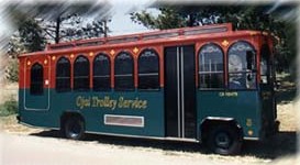
Ojai Trolley

The City of Ojai has run the Ojai Trolley Service since 1989.

There are two routes - routes A and B, each with 10 stops, most overlapping. Route A services out to Gridley Road, including Whispering Oaks. Route B services the Ojai Valley Inn. All other nine stops on the two routes are the same, starting from Ojai Avenue at the Arcade.

It costs $1.50 to ride the trolley (as of March 2026) or $4 for a day pass. Reduced ($.75/$2) fares for 65+ seniors and disabled/Medicare. Free fares available for children under 45”, seniors 75+.

The trolley runs 7 days a week,  every day of the year except Easter, Memorial Day, July 4th, Labor Day, Thanksgiving Day, Christmas Day, and New Year's Day.

Hours vary. Route A service starts at 6:36 am on weekdays and 7:06 am on weekends. Route B service starts at 7:06 am on weekdays and 8:06 am on weekends.

For more information and detailed route schedules, visit www.ojaitrolley.com. Fares at www.ojaitrolley.com/184/Fares.

OjaiTrolleyPic.JPG

Libbey Bowl and Libbey Park in Ojai

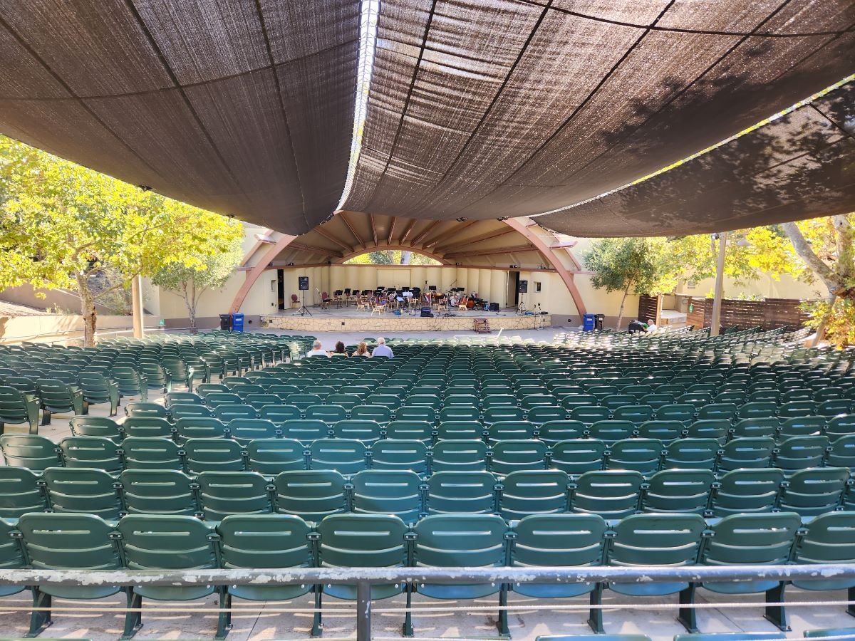
Libbey Bowl and Libbey Park are located in the heart of Ojai near the corner of Ojai Avenue and Signal Street. Libbey Bowl was originally built in 1957 and has been used for the annual Ojai Music Festival, Storytelling Festival, Ojai Day event, holiday celebrations and many other community events through the years. Beginning in 2008, the bowl was renovated and in 2011 was reopened with a new look and design. It accommodates 1,300 people. Learn more about Libbey Bowl at www.libbeybowl.org.

Both Libbey Bowl and Libbey Park are named after Ojai's greatest benefactor, Edward Libbey, a glass manufacturer from Toledo, Ohio. Libbey donated the park to the city in 1917. In front of the park is a shaded pergola along the main "arcade" section of Downtown Ojai.

The park contains a community playground that was designed and built with the help of over 500 volunteers in 2015.

This is a photo of the OLD play structure that was replaced in October 2015.

This is a photo of the OLD play structure that was replaced in October 2015.

The new playground!

The new playground!

There are also plenty of benches and seating areas, restrooms, shade trees and tennis courts at Libbey Park. Learn more on the City of Ojai website at www.ojairec.com/460/Libbey-Park.

Murals of Santa Paula

The Murals of Santa Paula is a non-profit organization that has brought 9 murals depicting scenes from the city's history within a few mile radius. The murals are as follows:

  1. Trains, Planes & Automobiles (1890s-1940s): 815 Santa Barbara Street

  2. Our First Inhabitants: The Chumash Indians: 119 North 8th Street

  3. Santa Paula Family Farms (1880s-1930s): 715 East Main Street

  4. Santa Paula Citrus Capital of the World: Corner of Main and Davis Streets

  5. Main Street Santa Paula (1910): Corner of Main and Mill Streets

  6. Celebrating Santa Paula's Latino Culture: Corner of Main and 10th Streets

  7. Discovering Black Gold in Santa Paula (1860s-1950s): 123 N. 10th Street

  8. Santa Paula Artists and Architects: 136 North 10th Street

  9. Honoring Founders and Pilots of Santa Paula Airport (1890s-1940s): 560 E. Main Street

  10. Harding Park Mural (Baseball pastime): 1330 East Harvard Blvd.

  11. De Colores of the Community (Celebration of life at the Santa Paula Community Center): 530 W. Main Street

Visit spcity.org/743/Murals for more information.

SPMural_1.jpg
SPMural_2.jpg
SPMural_3.jpg
SPMural_7.jpg

The Nethercutt Museum in Sylmar

Nethercutt1.JPG

The Nethercutt Museum in Sylmar houses a spectacular collection of over 130 antique, vintage, black iron and classic automobiles. A truly gorgeous collection of cars, including numerous winners of the Pebble Beach Concours d’Elegance and other famed auto shows.

Nethercutt2.jpg

Particularly eye opening is the sheer number of different car manufacturers on display that I'd never heard of, like Tucker, Simplex, Cord, REO, Maybah, Ruxton, Westinghouse, Pierce-Arrow, Moon etc as well as autos made by Daimler, Rolls Royce, Cadillac, Packard, Lincoln, Ford, Duesenberg, Oldsmobile, Bugatti and others. There is also a large number of hood ornaments, headlamps and other vintage paraphernalia on display.

Nethercutt3.JPG
Nethercutt4.jpg

The Nethercutt Museum is open for self-guided tours 9 a.m. to 4:30 p.m., Thursday through Saturday. Admission is just $5 and is free for children 12 and under. Visit www.nethercuttcollection.org for more information. Open to all ages.

Nethercutt5.JPG

Located at 15151 Bledsoe Steet, Sylmar. When I went I took the 101 east to the 405 south towards Santa Clarita, which becomes the 5 freeway. Get off at Roxford exit east (exit 159A; don't get confused and take the NEXT Roxford exit). Turn right on Roxford, right on San Fernando Road and left on Bledsoe. Museum is a few blocks up on the left hand side. Turn left on Bradley (at Bledsoe) and an immediate left into the parking lot.

Nethercutt6.JPG

Outside the Museum you can walk through a 1912 Pullman Rail Car and a 1937 Canadian Pacific Royal Hudson Locomotive. Open twice a day (weather permitting) at 12:30 p.m. and 3:45 p.m. for 15 minutes.

In addition to the main Museum, next door at 15200 Bledsoe is The Nethercutt Collection, which has over 50 automobiles along with what they call the world's finest assemblage of mechanical musical instruments. Admission here is also free but you must make reservations for the 2 hour docent-led tour, kids must be 12 and older, and no video recording or flash photography is allowed. Tours are currently offered at 10 a.m. and 1:30 p.m. Thursday through Saturday.

Nethercutt7.JPG
Nethercutt8.JPG
Nethercutt9.JPG

Disc Golf in Ventura County

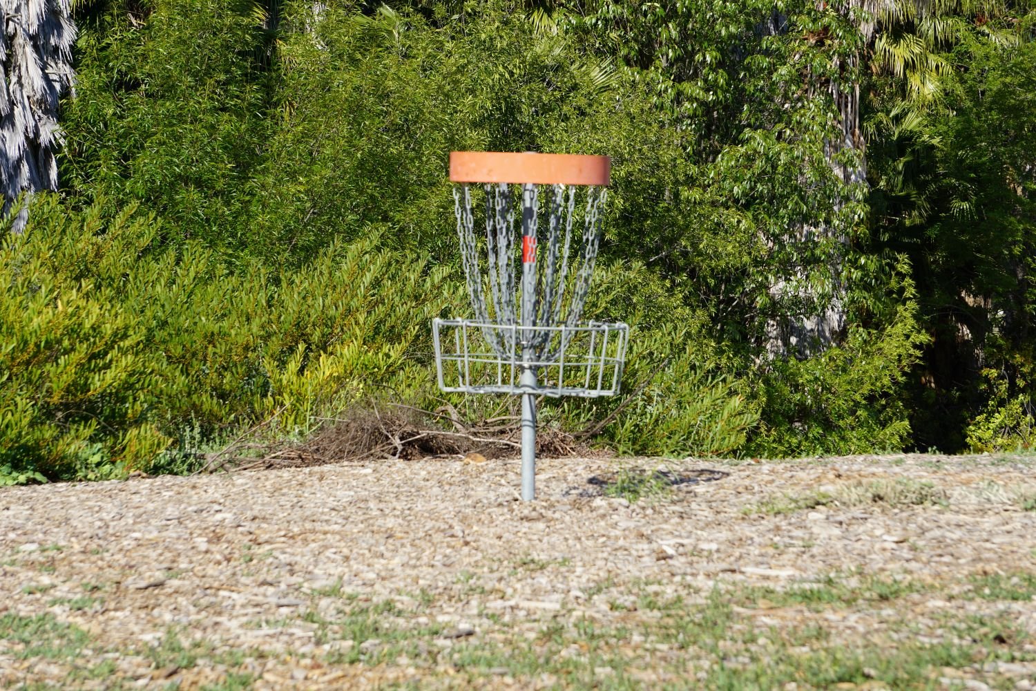
Looking for disc golf options in Ventura County? You’ve come to the right place. These are all available to the public, free of charge.

The newest disc golf option is at Sapwi Trails Community Park in Thousand Oaks. The course has 19 holes. Hole #1 is located off the parking lot on Avenida de los Arboles at Kensington Drive. The park and course opened in March 2019. and is managed by the Conejo Recreation and Park District (CRPD).

Rabbit Flats Disc Golf Course is located on the west end of Thousand Oaks Community Park, 2525 N. Moorpark Road (next to Thousand Oaks High School). This course opened to the public in May 2010. Park managed by CRPD.

Coyote Point Disc Golf Course is an 18 hole course located at Lake Casitas, 11311 Santa Ana Road, Ventura.

Chaparral Park, located at 217 N. Medea Creek Lane in Oak Park, has a newer 10 hole course. Course map at THIS LINK (that link also provides detailed instructions on how to play!). Park is managed by the Rancho Simi Recreation and Park District (RSRPD). Learn more at www.rsrpd.org/business_detail_T9_R25.php.

Also managed by RSRPD is a 12 hole disc Sycamore Park Disc Golf Course at Sycamore Park, 855 N. Planetree Avenue, Simi Valley. Detailed map and instructions at THIS LINK.

There is yet another disc golf course located at Sequoia Park, 2150 Tracy Avenue, Simi Valley. Also managed by RSRPD, this is a 9-hole course. Course map and instructions at THIS LINK.

Finally, there is a 9-hole disc golf course located at Lake Piru Recreation Area, 4780 Piru Canyon Road, Piru.

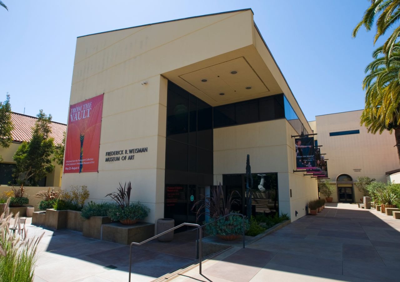
Frederick R. Weisman Museum of Art at Pepperdine University in Malibu

Located on Pepperdine's main campus at 24255 Pacific Coast Highway in Malibu, the Frederick R. Weisman Museum of Art is a small art museum with rotating exhibits year-round, as well as "meet the artist" events, family art events and more.

The museum, which opened in 1992, is open Tuesday through Sunday, 11 a.m. to 5 p.m., and is closed on major holidays. There is no admission charge.

For more information, call (310) 506-4851, or visit arts.pepperdine.edu/museum.

Satwiwa Native American Indian Culture Center in Newbury Park

The Satwiwa Native American Indian Culture Center is located at Rancho Sierra Vista / Satwiwa in Newbury Park. Sycamore Canyon, which cuts through Rancho Sierra Vista/Satwiwa and Point Mugu State Park, was part of a Chumash trade route. Satwiwa, which means "the bluffs," was the name of a nearby Chumash village.

View of the Satwiwa area with the Center on the right and an Indian village area on the left.

View of the Satwiwa area with the Center on the right and an Indian village area on the left.

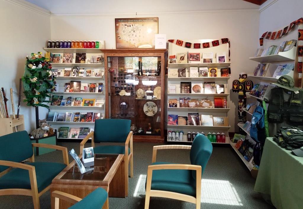
In the Center is a variety of native Chumash items. Native American workshops, programs and art shows occur throughout the year. The Center is open 9 am to 4 pm on weekends, with rangers on hand to answer questions. There's a small gift shop in the Center too, as well as restrooms and a water fountain.

There is a Chumash house, or 'ap, on the grounds of the Center. It is made with willow trees and tule.

There is a Chumash house, or 'ap, on the grounds of the Center. It is made with willow trees and tule.

Inside the Culture Center. The table contains items that children are encourage to touch.

Inside the Culture Center. The table contains items that children are encourage to touch.

Small but nicely appointment gift shop in the Center has something for everyone.

Small but nicely appointment gift shop in the Center has something for everyone.

Park in the adjacent National Park Service parking lot via Lynn Road to the access road at Via Goleta in Newbury Park.

Visit www.nps.gov/samo/planyourvisit/satwiwa-native-american-indian-culture-center.htm for more information.

Access point to the Rancho Sierra Vista / Satwiwa area in the Santa Monica Mountains National Recreation Area off of Lynn Road in Newbury Park.

Access point to the Rancho Sierra Vista / Satwiwa area in the Santa Monica Mountains National Recreation Area off of Lynn Road in Newbury Park.

Rancho Sierra Vista / Satwiwa in Newbury Park

RanchoSierraVistaEntry.jpg

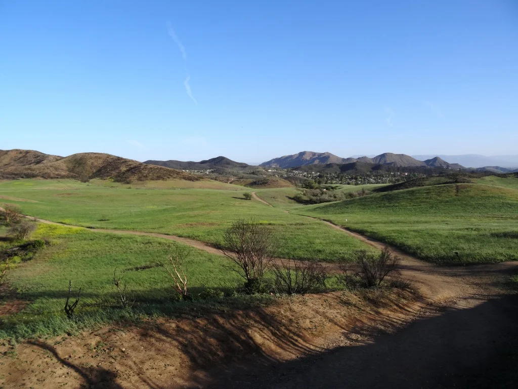
We are fortunate to have such great trails and views of Boney Peak from in Newbury Park. At Wendy and Potrero is the Western edge of the Santa Monica Mountains where Sycamore Canyon cuts through Rancho Sierra Vista/Satwiwa and Point Mugu State Park.

SatwiwaSign.JPG
Satwiwa.jpg

Roughly a mile easy hike from Wendy/Potrero gets you to the Satwiwa Native American Indian Culture Center where you can explore some native Chumash items and educational information and chat with rangers. This is a nice little hike to take the kids on. There are restrooms and water at the center, which is open from 9am to 4pm on weekends.

Learn more about hiking in Rancho Sierra Vista/Satwiwa at THIS LINK.

You can get easier access to the center by parking in the adjacent National Park Service parking lot via Lynn Road to the access road at Via Goleta in Newbury Park.

Another mile and a half of hiking gets you to a small waterfall, which is fun to check out with the kids but somewhat more strenuous of a hike. Note that in recent years (2012-2015), the waterfall has barely flowed due to low rainfall.

Here is more information about the Boney Mountain Trail, leading up to Hidden Valley Overlook, the waterfall and Danielson Monument.

SatwiwaCircle.JPG

Visit www.nps.gov/samo/planyourvisit/rsvsatwiwa.htm for a map and site information on the National Park Service website.

BoneyViewsSatwiwa.jpg
SatwiwaTrails.JPG
WendyPotreroTrailhead.JPG

Trailhead at the corner of Wendy Drive and Potrero Road in Newbury Park. Park on the dirt on the south side of Potrero or on the street on Wendy.

Conejo Canyons Open Space in Thousand Oaks

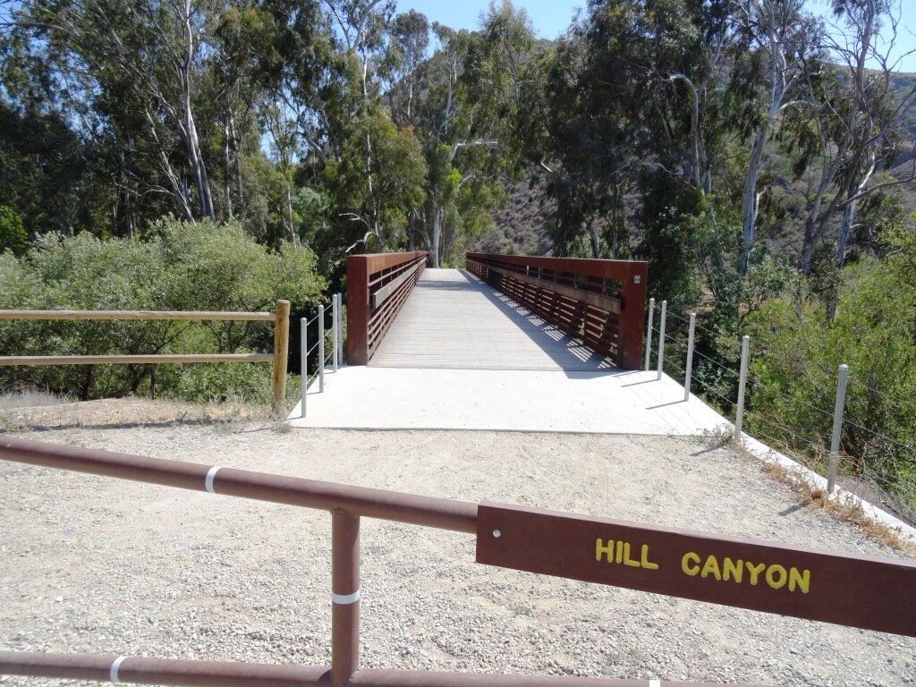
Pedestrian bridge that provides access into the conejo canyons Open Space

The Conejo Canyons Open Space in the Western Plateau area of Thousand Oaks is a 1,430 acre area with over 10 miles of trails to explore. It also ties in to Wildwood Park. Visit cosf.org/conejo-canyons for trail maps.

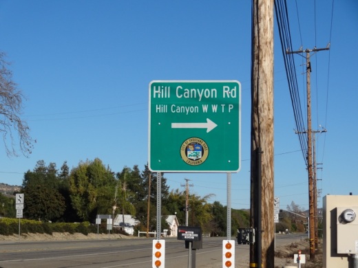
The main entrance to the Conejo Canyons Open Space is via a pedestrian bridge accessed off of Santa Rosa Road. Coming from Thousand Oaks, take Moorpark Road north down the Norwegian Grade, where it intersects with Santa Rosa Road. Continue about 3.7 miles on Santa Rosa Road and make a left on Hill Canyon Road. Drive down Hill Canyon Road and you will see a large, flat dirt parking area on the right, adjacent to Santa Rosa Valley Regional Park.

Sign on Santa Rosa Road at Hill Canyon (coming from Camarillo)

Sign on Santa Rosa Road at Hill Canyon (coming from Camarillo)

Parking area on Hill Canyon Road, as seen from the Canyon Overlook Trail leading to Lizard Rock.

Parking area on Hill Canyon Road, as seen from the Canyon Overlook Trail leading to Lizard Rock.

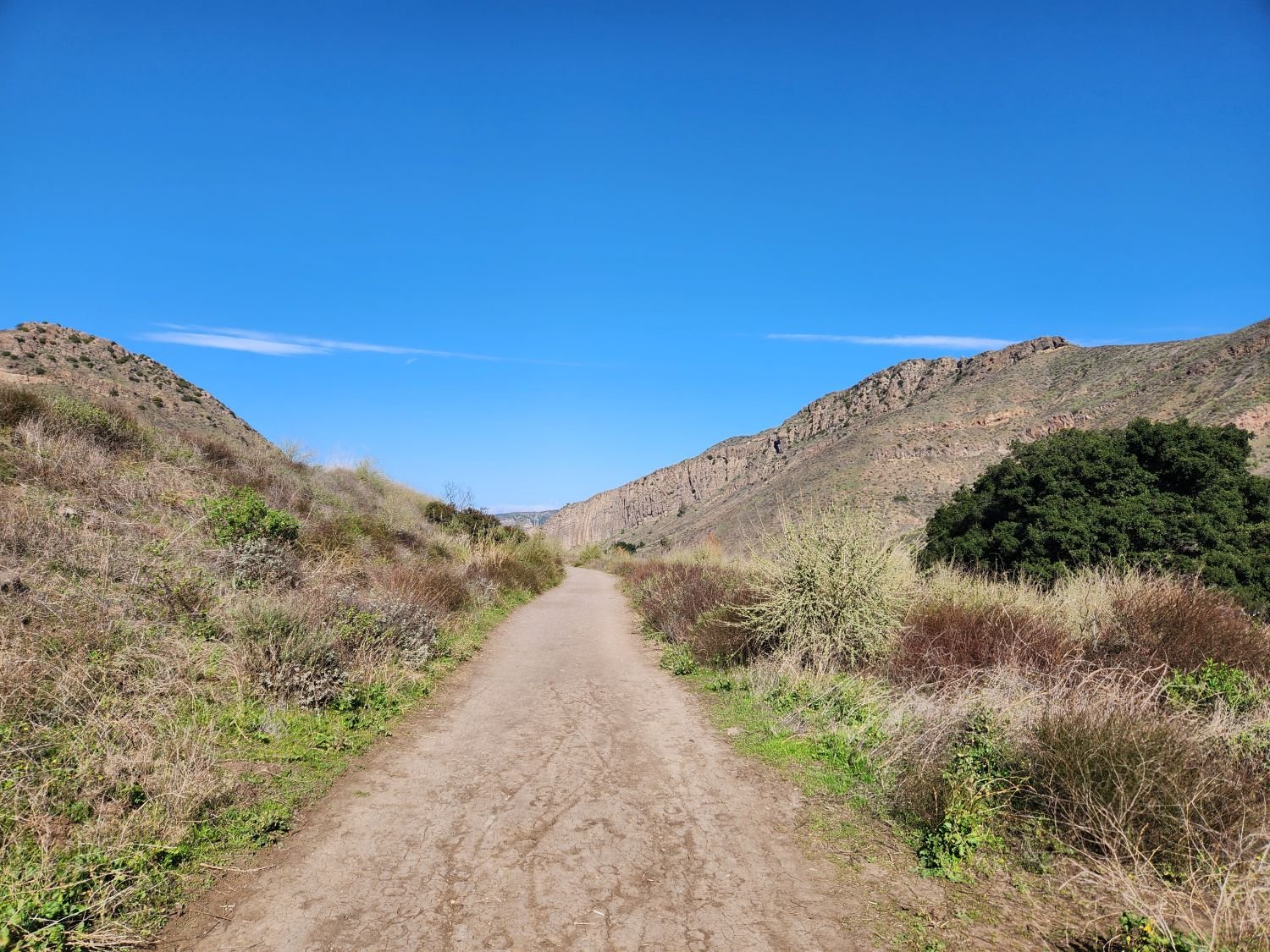
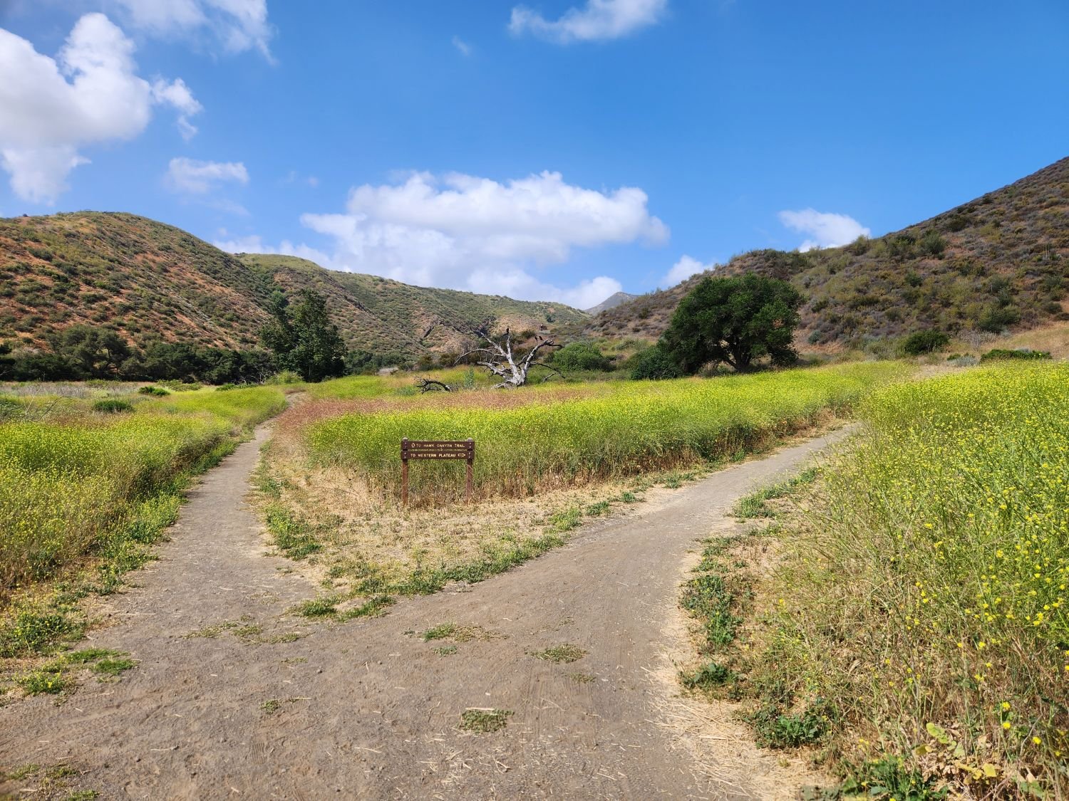
Park and you'll see the bridge just south, which takes you to the Hill Canyon Trail, a flat path that after a mile takes you to an intersection. At the intersection, you can turn around, go straight ahead to the Hawk Canyon Trail, take a right turn to the hilly Western Plateau Trail or veer left to make your way to the Arroyo Conejo Trail that ultimately takes you about 2 1/2 miles to the Rancho Conejo Playfields in Newbury Park.

Hill Canyon Trail - one of the flatest trails in the Conejo Valley

Fork in the Hill Canyon Trail - Straight ahead to the hawk Canyon Trail or right to the hilly Western Plateau Trail

Or go west to the steep Canyon Overlook Trail, a zig zagging hill that takes you to Lizard Rock in Wildwood Park. The hill is a fun challenge with the kids and you'll be rewarded with great panoramic views towards Boney Mountain, Camarillo, Ojai and Simi.

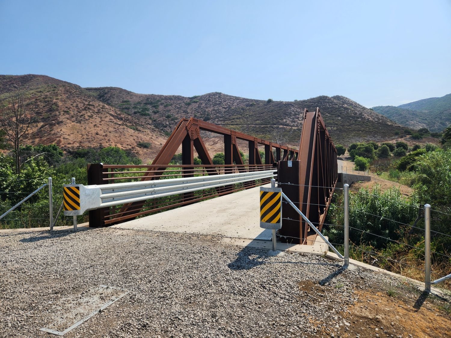
In May 2024, the Conejo Open Space Conservation Agency premiered the new Conejo Canyons Bridge in this area, connecting Hill Canyon to the Western Plateau.

The Conejo Canyons Bridge was completed in May 2024, providing a connection between Hill CAnyon and the Western Plateau.