Ojai Valley Trail
/
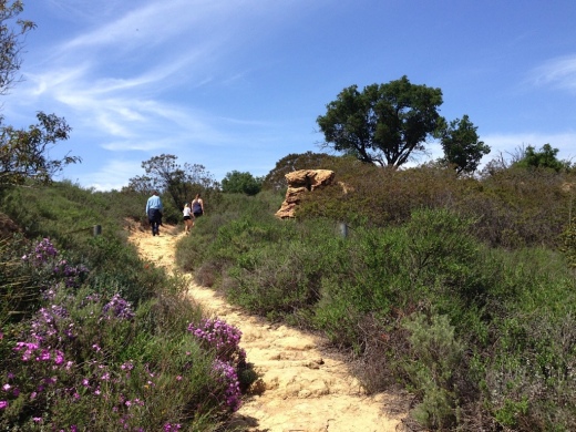
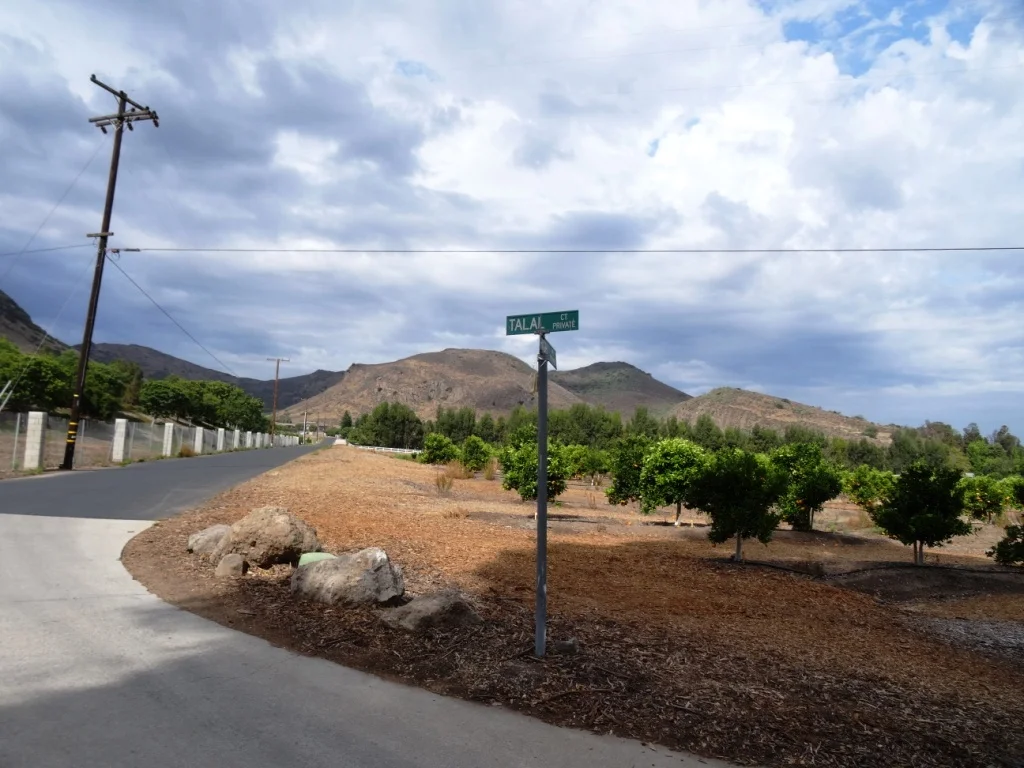
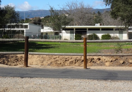
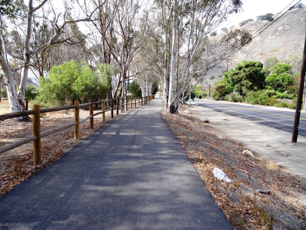
The Ojai Valley Trail is a 9 mile trail that parallels Highway 33 from Foster Park on the outskirts of west Ventura, to Soule Park in Ojai. One side of the trail is paved for bicyclists, walkers, joggers and people exercising their pets. Post-and-rail wood fence separates the paved path from a dirt bridle path for horseback riders. Sections wind through wooded areas and past riverbeds. While most of the path is offset from Highway 33 (the main thoroughfare in Ojai), it does have a number of street crossings. If staying in Ojai and you run or bike, you will no doubt cross paths with this path!
At Foster Park, the Ojai Valley Trail connects with the 6.3 mile Ventura River Trail, which in turn extends to the Omer Rains Trail along the Ventura beachfront.
More information at parks.venturacounty.gov/county-parks/ojai-valley-trail.
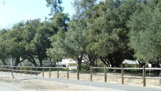

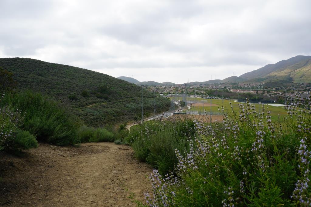
Ojai Valley Trail near Foster Park