China Flat Trail in Oak Park
/

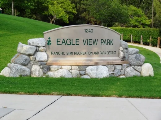
China Flat Trail can be reached off Lindero Canyon Road in Oak Park, between King James Court and Wembly Avenue. The trail sits below Simi Peak, at 2,405 feet, the tallest peak in the Simi Hills.
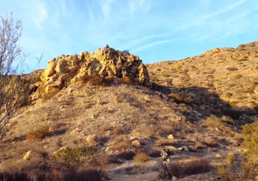
My kids particularly enjoy exploring the sandstone caves pictured above and below. Beautiful views abound hiking up here. It does get a little rocky and steep at times so just be aware. It is about two miles to the top, making it about a 4 mile hike. Hike another .8 mile to Simi Peak.
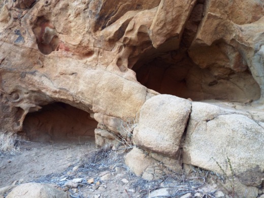
Mysterious caves the kids enjoy exploring.
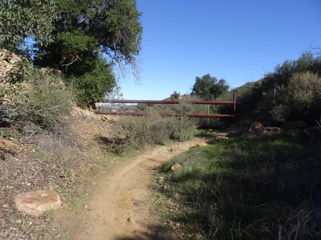
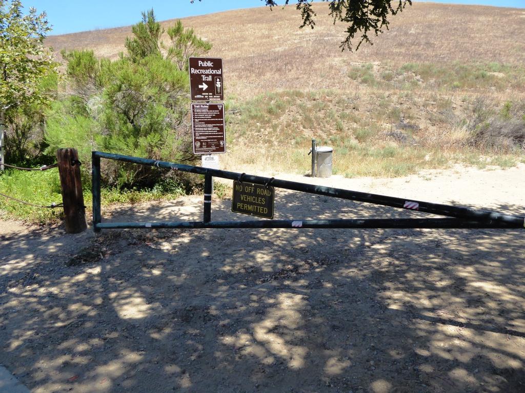
Here's a gate near to the top of the trail that tells you you are close to your destination.

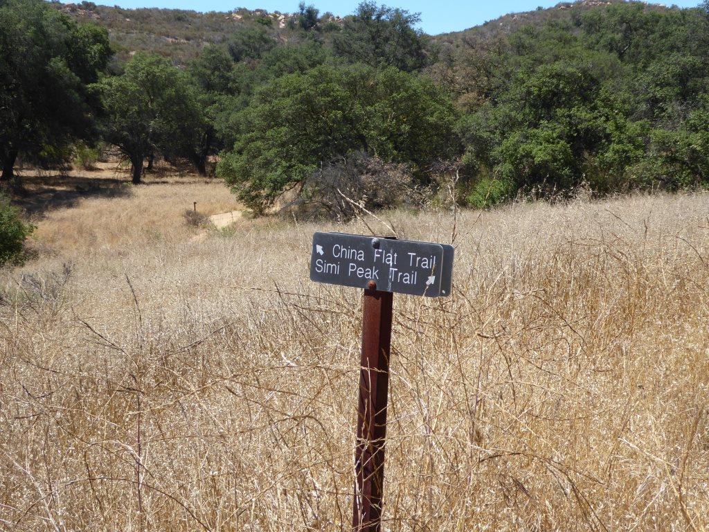
Follow the trail to reach the China Flat area.
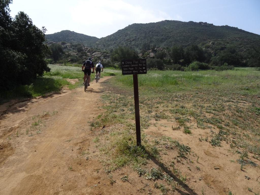
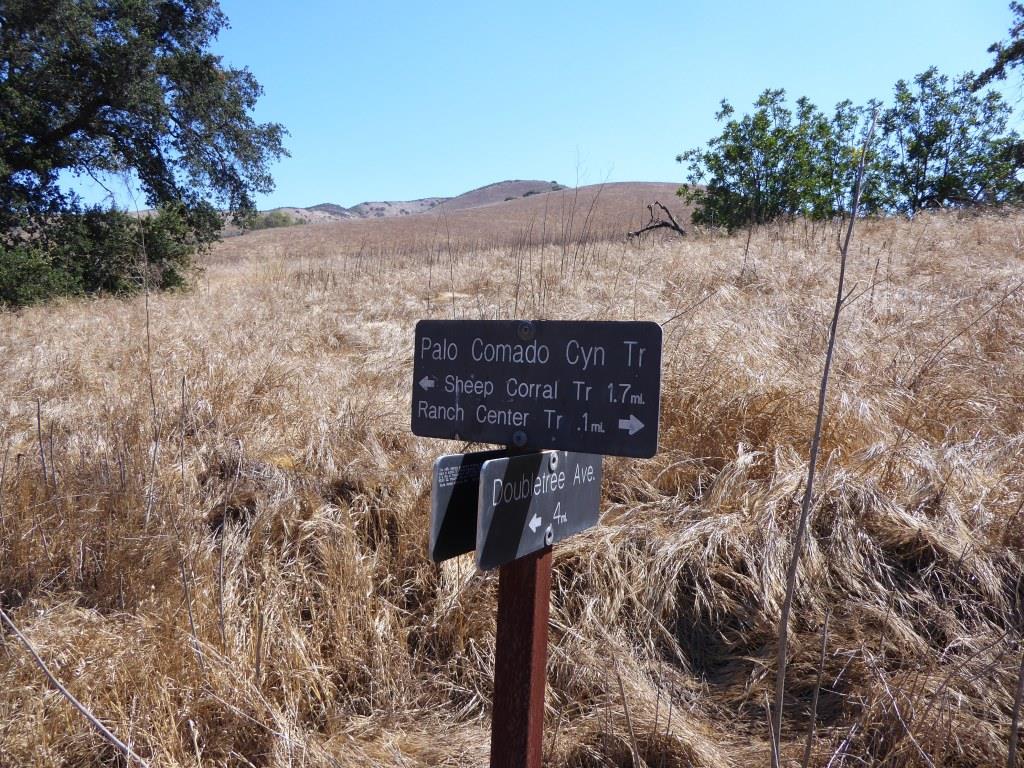
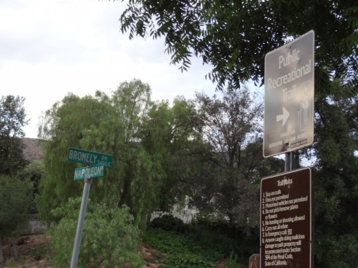
You can also get to China Flat from the Palo Comado Trail.

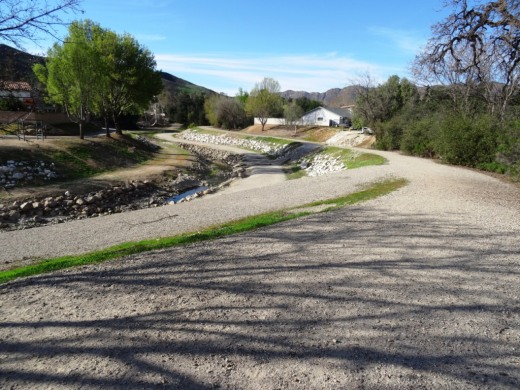
Sure is pretty up here when it is green!

View from Simi Peak towards Oak Park.
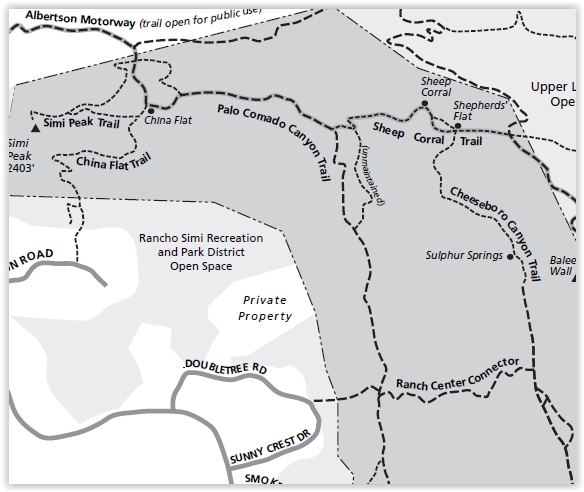
Map excerpt courtesy of National Park Service.