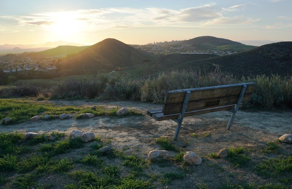
Bench Yourself in the Conejo Valley
/There are over 150 miles of public multi-use trails surrounding the Conejo Valley managed by the Conejo Open Space Conservation Agency and hundreds of miles more in the neighboring Santa Monica Mountains National Recreation Area. Learn more about these great trails here on Conejo Valley Guide.
All of this hiking, biking and running can make one tired. Not to worry...there are benches in strategic spots all throughout the area, all with great views! Here we highlight some of them. Click the images for more information about the trails that lead to these benches.

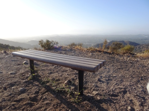
Views from Angel Vista Peak bench in Newbury Park.

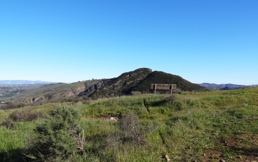
Bench at top of peak just east of Angel Vista Peak.

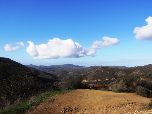
Bench at the top of "Space Mountain" on the Los Robles Trail West.
Bench with perfect sunset view off of the Autumn Ridge Trail in the Lang Ranch Open Space.

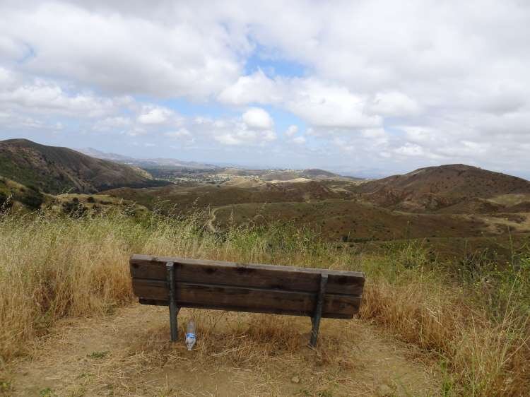
A bench on a hilltop overlooking the Conejo Valley on Los Robles Trail East Scenic Loop.

Bench on Los Robles Loop East Scenic Loop looking towards the south.

Benches at the top of Big Sycamore Canyon Road in Point Mugu State Park (adjacent to Rancho Sierra Vista/Satwiwa in Newbury Park).
Another bench that overlooks Sycamore Canyon from the Boney Mountain Trail.

Image of the Upper Sycamore Canyon bench after the Rancho Sierra Vista area in Newbury Park was ravaged by the Springs Fire of 2013.

Upper Sycamore Canyon bench was subsequently replaced. Here it is in April 2014.

Bench on the west side of Tarantula Hill in Thousand Oaks.

Another view of the Tarantula Hill bench before sundown in June 2022.

This bench is located at the juncture of the Sunrise and Meadow Vista Trails in the Lang Ranch Open Space and the Long Canyon Trail in Simi Valley. Nice view towards Simi Valley.

Bench on Indian Creek Trail in Wildwood Park.

Bench overlooking Bard Reservoir on the Sunset Hills Loop.

Sunset Hills Trail bench in early spring 2023.

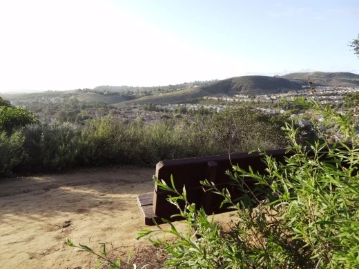
One of two benches in the hills above CLU overlooking Thousand Oaks.
Oakbrook Vista Trail bench off of Lang Ranch Parkway in Thousand Oaks

This bench on a hill connected to the Rancho Potrero trail in Newbury Park faces the west and gets you some nice views of several of the Channel Islands on clear days.
Bench off the Lizard Rock Loop trail on the west side of Wildwood Park.

Bench with a view of Boney Peak from the Potrero Ridge Trail in Newbury Park.

There are dozens of benches facing all directions in the beautiful hilltop Conejo Valley Botanic Garden in the heart of Thousand Oaks

Another bench on the west side of top of the Conejo Valley Botanic Garden.

Bench overlooking the Potrero Grade from the Vista Del Mar Trail in Newbury Park.

This is a new bench on the Vista Del Mar Trail in Newbury Park that made its premiere in 2023.

Bench on the El Encanto Trail in the Dos Vientos section of Newbury Park. Panaromic view towards Boney Mountain while catching the sunset.
Bench with panoramic views at the top of the Triunfo Canyon Trail (part of the Los Robles trail system) in Westlake Village.

Enjoy views towards Newbury Park, Wildwood Park and so on from this bench on the Lynnmere Trail in Thousand Oaks.

Bench at Box Canyon Overlook in Wildwood Park.
Bench #1 on the Albertson Motorway Fire Road Trail in Thousand Oaks.

Bench #2 on the Albertson Motorway Fire Road Trail in Thousand Oaks.

Bench off the Western Plateau Trail in the Conejo Canyons Open Space near the Hill Canyon Trail.

Another bench off the Western Plateau Trail. This one is marked by a “Vista Point” sign and is across from the Outlaw Trail juncture in the Conejo Canyons Open Space.

This bench is near Elliot Peak in the Conejo Canyons Open Space.

This bench is off the Outlaw Trail in the Conejo Canyons Open Space, not far from Elliot Peak.

Another view from the bench atop Tarantula Hill….at sunset.

Bench off of the Santa Rosa Trail in Wildwood Park, overlooking Santa Rosa Valley