Views in 1957 Looking East From Lynn and Gainsborough Roads in Thousand Oaks

7254 Thousand Oaks 1957 Venturaviews.jpg

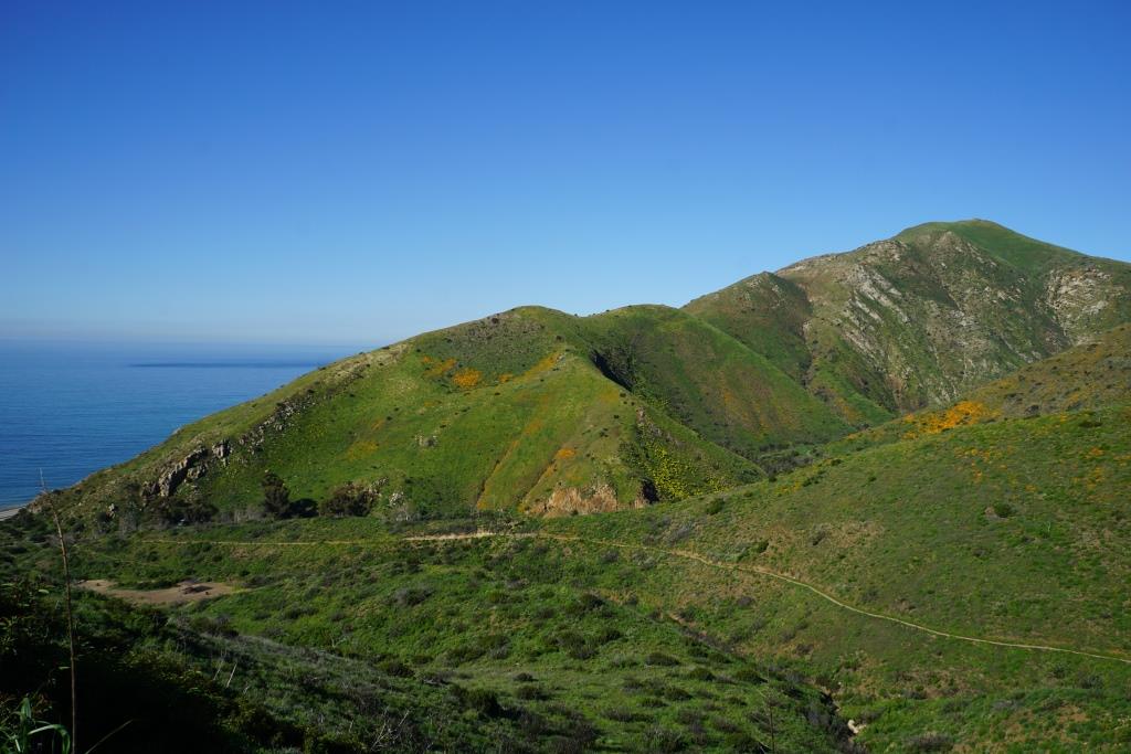
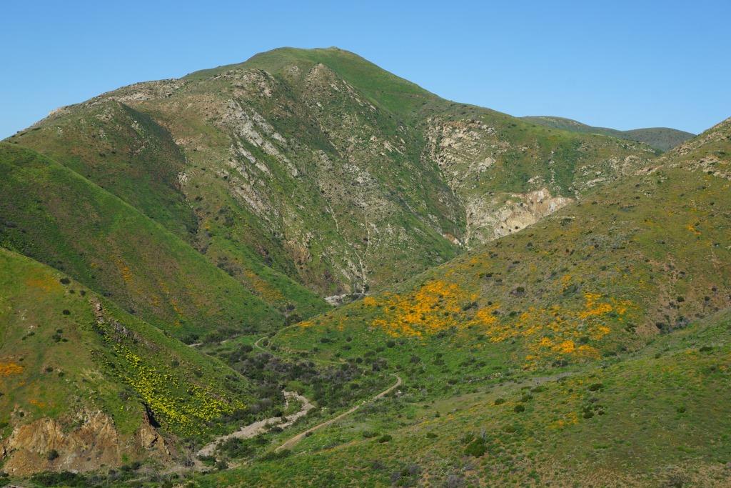
Steve Dibblee provided this shot taken by his father, Walt Dibblee, from the mountain ridge at the northwest corner of what is now Lynn Road and Gainsborough Road in Thousand Oaks sometime in the year 1957, seven years before the city was incorporated. This ridge is just southwest of nearby Tarantula Hill and the shot is facing east. So how about comparing it to a few recent shots looking east from Tarantula Hill.

Taran1.JPG
Taran2.JPG

I see a lot of oak trees and clouds in all of the photos but...just a wee bit more other things, like houses, roads, cars and such in the more recent pictures. :)

See more of Dibblee's photographs from the mid 1950s to the late 1960s at VenturaViews.com where you also have the option of acquiring high-resolution prints of these blasts to the past. Thanks to Steve Dibblee for sharing some of his late father's work with us here on Conejo Valley Guide and at www.facebook.com/ConejoValleyGuide.

Try the Strenuous Fossil Trail Loop in Point Mugu State Park for a Weekend Challenge

If you have two to three hours to spare and are looking to do about six miles of strenuous local hiking, consider trying the Fossil Trail loop in Point Mugu State Park, starting at the adjacent Rancho Sierra Vista/Satwiwa managed by the National Park Service in Newbury Park . If you're looking for a FLAT hike, this one isn't for you!  (But do check out these other great local trails.)

Find your way to the main parking lot at Via Goleta off of Lynn Road (or alternatively park at the Wendy/Potrero Trailhead for an extra few miles of hiking). From there, hike towards the Satwiwa Native American Indian

Read More

Compilation of Conejo Valley Scenes Before and After the 2017 Rains

Here is an updated compilation of scenes around the Conejo Valley from before and after the 2017 winter rainstorms.  More on local hikes and trails throughout Thousand Oaks, Westlake Village, Newbury Park and Greater Ventura County at THIS LINK.

Here are the scenes in this compilation:

  • Dos Vientos towards Boney Peak
  • Mountclef Ridge above Wildwood Park
  • Picnic table near Hawk Canyon Trail
  • Wendy Trail behind Satwiwa Center at Rancho Sierra Vista
  • Boney Peak from Rancho Sierra Vista
  • Wildwood Park towards Lizard Rock
  • Los Robles Trail towards central Thousand Oaks
  • Angel Vista Peak towards Newbury Park
  • Dos Vientos from Potrero Ridge Trail
  • Olympia Farms in Rancho Potrero
  • Western Plateau towards Oxnard Plain
  • On horseback in Rancho Potrero
  • Hawk Canyon/Western Plateau Trail Sign
  • Mountclef Ridge from Tarantula Hill
  • Tarantula Hill from Los Robles Trail East
  • Hidden Valley Overlook in Rancho Sierra Vista
  • Autumn Ridge Trail in Lang Ranch Open Space
  • Los Robles Trail looking east
  • Lone Oak in Rancho Sierra Vista

Green Meadows and Hills and Wildflowers on Display in La Jolla Valley, Point Mugu State Park

The La Jolla Valley Natural Preserve is located in Point Mugu State Park, in the west end of the Santa Monica Mountains. The La Jolla Valley was acquired by the State of California in 1966 and was established as a Natural Preserve in 1972.

The area can be accessed via the .7 mile, but very steep Chumash Trail in Point Mugu (strenuous but the quickest approach), via the La Jolla Canyon Trail (which has been closed since January 2015 due to mudslides), or in a roundabout way, via the Ray Miller Trail. Or you can hike there from Rancho Sierra Vista in Newbury Park, which would be something in the neighborhood of 6 to 8 miles, depending on route.

In any case, the area is spectacularly beautiful right now in March 2017 after the winter rainstorms. If you are looking for peace and quiet, green hills and wildflowers, this is the place for you right now.

Spring Flowers and Green Hills at Charmlee Wilderness Park in Malibu

View of Zuma Beach to Point Dume State Beach from Charmlee Wilderness Park.

View of Zuma Beach to Point Dume State Beach from Charmlee Wilderness Park.

Charmlee Wilderness Park, a 532 acre park at 2577 Encinal Canyon Road in Malibu, is a "must visit" for anyone who lives in the local area. Located in the Santa Monica Mountains, its eight miles of trails dispersed through 532 acres of land provide unbelievable spectacular views of Zuma Beach to Point Dume in particular.

The Park is also blossoming with wildflowers and is green as can be in March 2017 after our significant winter rainstorms.

Park hours are 8 a.m. to sunset and the nature center is open on weekends from 8 a.m. to 5 p.m. (or dark, whichever comes first). Parking is $4.

Green envelopes the trains here in early March 2017.

Green envelopes the trains here in early March 2017.

From Charmlee, I noticed this beautiful flower display on a hilltop home and had to take a pic and post it to Instagram. Little did I know that this is apparently Caitlyn Jenner's hilltop home.

From Charmlee, I noticed this beautiful flower display on a hilltop home and had to take a pic and post it to Instagram. Little did I know that this is apparently Caitlyn Jenner's hilltop home.

Charmlee2017_4.JPG

Wildflowers in Full Bloom at the Ray Miller Trail in La Jolla Canyon, Point Mugu State Park

Note: This was posted in March 2017. We stopped by in 2018 and 2019 and there was not an abundance of flowers on the trail these years.


We knew this was coming. A sea of orange and purple wildflowers in La Jolla Canyon at Pt. Mugu State Park in northwest of Malibu. It may take you about a half an hour to get there from Thousand Oaks, but it is well worth stopping by the Ray Miller Trail in La Jolla Canyon to catch a glimpse of these colors. More on the Ray Miller Trail at THIS LINK. Directions from Thousand Oaks at THIS LINK.

DSC01388.JPG

Another Look at the Conejo Valley Before and After the Rainstorms of 2017

Last week's highlights of scenes around the Conejo Valley before and after the winter rains of 2017 were so popular that I went back to the photo archives to find more photo duos to share. The temperatures are starting to heat up, so we have to enjoy this green while we can!

Rancho Sierra Vista, behind the Satwiwa Native American Culture Center.

Rancho Sierra Vista, behind the Satwiwa Native American Culture Center.

Rancho Sierra Vista after the rainstorms of 2017.

Rancho Sierra Vista after the rainstorms of 2017.

A view towards Newbury Park from the Rosewood Trail / Angel Vista Peak.

A view towards Newbury Park from the Rosewood Trail / Angel Vista Peak.

Rosewood Trail./ Angel Vista Peak views after the rainstorms.

Rosewood Trail./ Angel Vista Peak views after the rainstorms.

View of Mountclef Ridge from Tarantula Hill.

View of Mountclef Ridge from Tarantula Hill.

A greener view of Mountclef Ridge after the rains.

A greener view of Mountclef Ridge after the rains.

The former Olympia Farms property in the Rancho Potrero Open Space in Newbury Park.

The former Olympia Farms property in the Rancho Potrero Open Space in Newbury Park.

Greener times in the Olympia Farms area.

Greener times in the Olympia Farms area.

Los Robles Trail looking east from "Space Mountain."

Los Robles Trail looking east from "Space Mountain."

Fueled by months of steady rain, it is looking green here in the Los Robles Trail System.

Fueled by months of steady rain, it is looking green here in the Los Robles Trail System.

View of Boney Mountain Range from Rancho Potrero Open Space last fall.

View of Boney Mountain Range from Rancho Potrero Open Space last fall.

Green foreground after the rains in Rancho Potrero looking at Boney Mountain.

Green foreground after the rains in Rancho Potrero looking at Boney Mountain.