Aerial Views of Dos Vientos Ranch in Newbury Park in 1956
/
Aerial View of Dos Vientos Ranch in 1956 (Photo Credit: Howard D. Kelly, Kelly-Holiday Collection of Negatives and Photographs/Los Angeles Public Library)
According to several Oxnard Press-Courier articles in September/October 1958, evangelist O.L. Jaggers purchased the 5,415 acre Dos Vientos Ranch from M.S. Clark Enterprises on June 21, 1957 for $2.9 million, with the goal of creating the "World Church City."
According to a 1994 L.A. Times article, Jaggers and his wife Velma talked about making Dos Vientos (now part of Newbury Park/Thousand Oaks) a 26,000 resident city, "situated under a perpetually hovering 'glory cloud' that would emit a pillar of smoke by day and fire by night. Airliners would be diverted so passengers could witness the phenomenon."
After years of lawsuits brought against Jagger and his World Church by investors in the project, the land was acquired in 1965 by Louis Lesser Enterprises of Beverly Hills.

Another Aerial View of Dos Vientos Ranch in 1956 (Photo Credit: Howard D. Kelly, Kelly-Holiday Collection of Negatives and Photographs/Los Angeles Public Library)
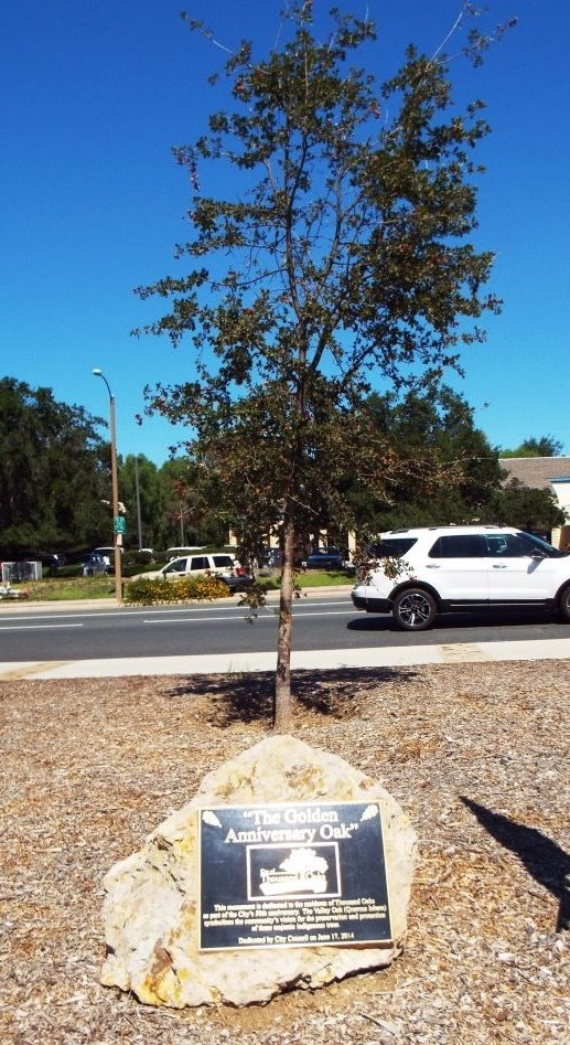
The Thousand Oaks City Council approved development of Dos Vientos Ranch as a 2,350 home residential project in 1988 and construction began after years of planning and lawsuits in 1997. At the time, the land was owned by Courtly Homes Inc. and Operating Engineers Pension Trust Inc.
A 1997 Los Angeles Times article noted that Dos Vientos was the largest residential project ever in Newbury Park and the third-largest in the city's history. Dos Vientos is surrounded by two connecting roads that form a loop: Rancho Dos Vientos and Via Las Brisas. Lynn Road fronts the development on the south and Borchard Road serves as its main artery.

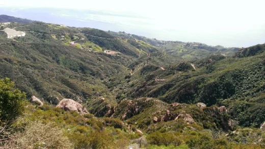
A more recent view of Dos Vientos from one of the many trails surrounding the area.
There are some nice hiking trails in Dos Vientos, including Sierra Vista Trail, Park View Trail, Vista Del Mar Trail, El Rincon, El Cerro and Las Brisas Trails, El Encanto Trail and Conejo Mountain Edison Road Trail.
Also located in Dos Vientos is The Village at Dos Vientos retail/business center, Dos Vientos Community Park and the newer Del Prado Playfield.