Angel Vista Peak in Newbury Park
/
The 1,530' elevation Angel Vista Peak in Newbury Park may well have the most spectacular views of the Conejo Valley. You can see the entire Conejo Valley, stretching from the Conejo Grade to central Thousand Oaks, Agoura Hills, Hidden Valley, Boney Mountain and beyond!
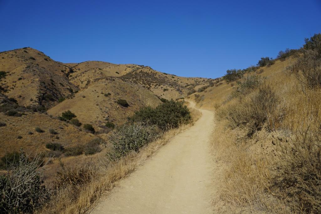
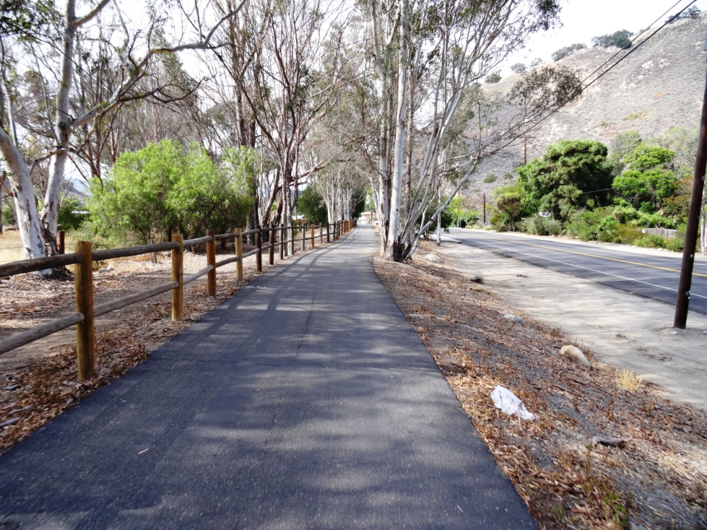
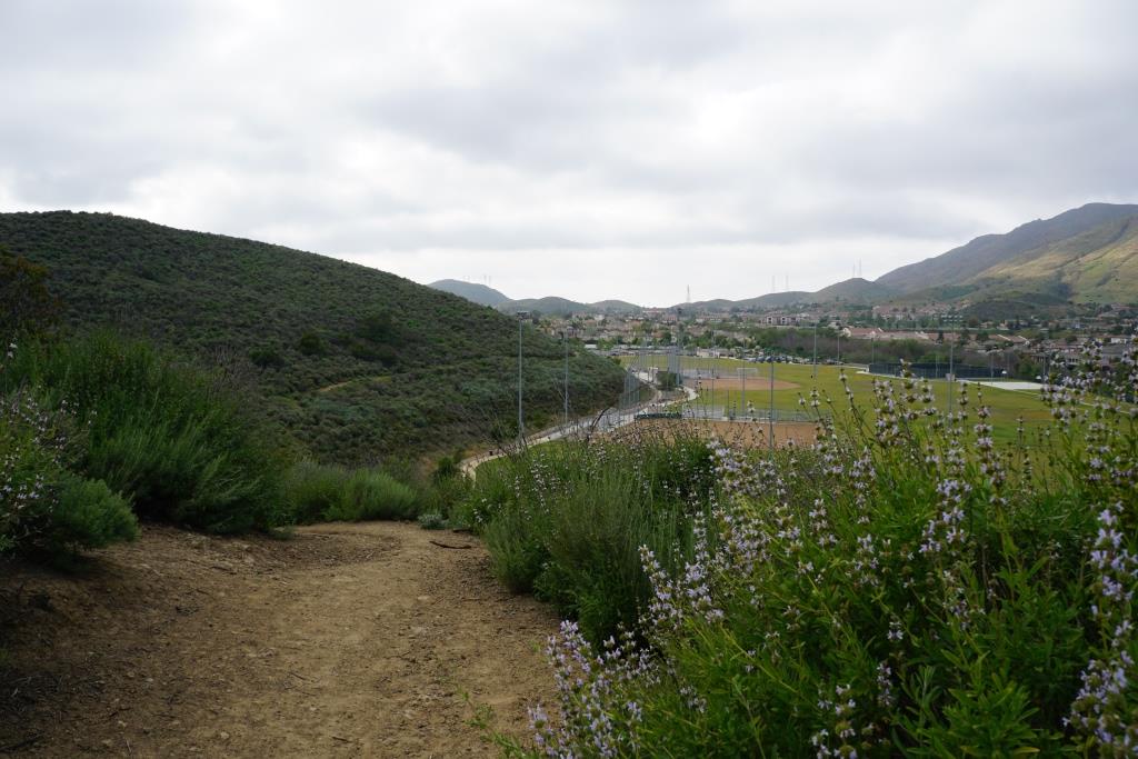
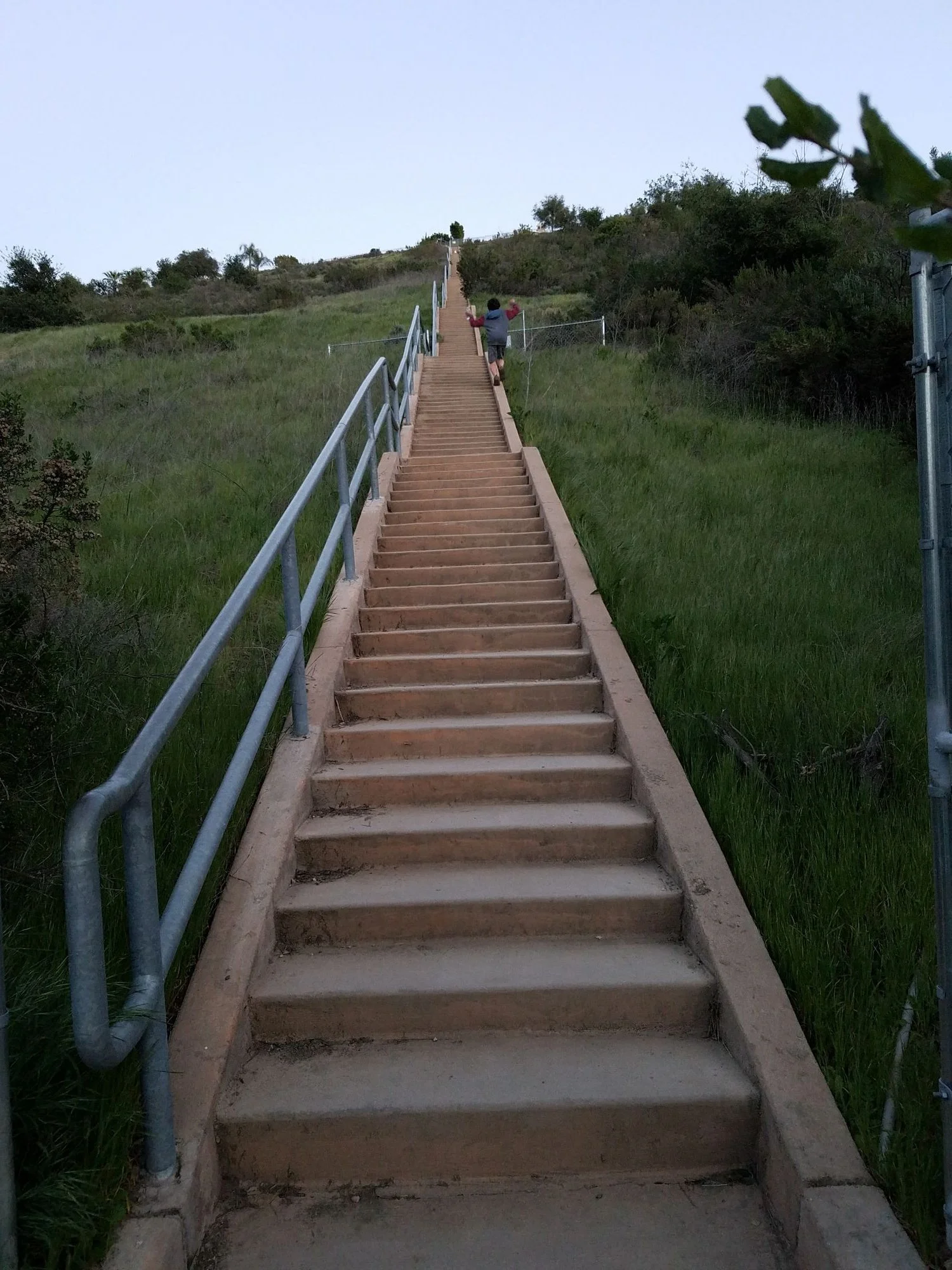
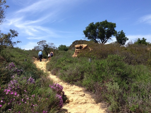
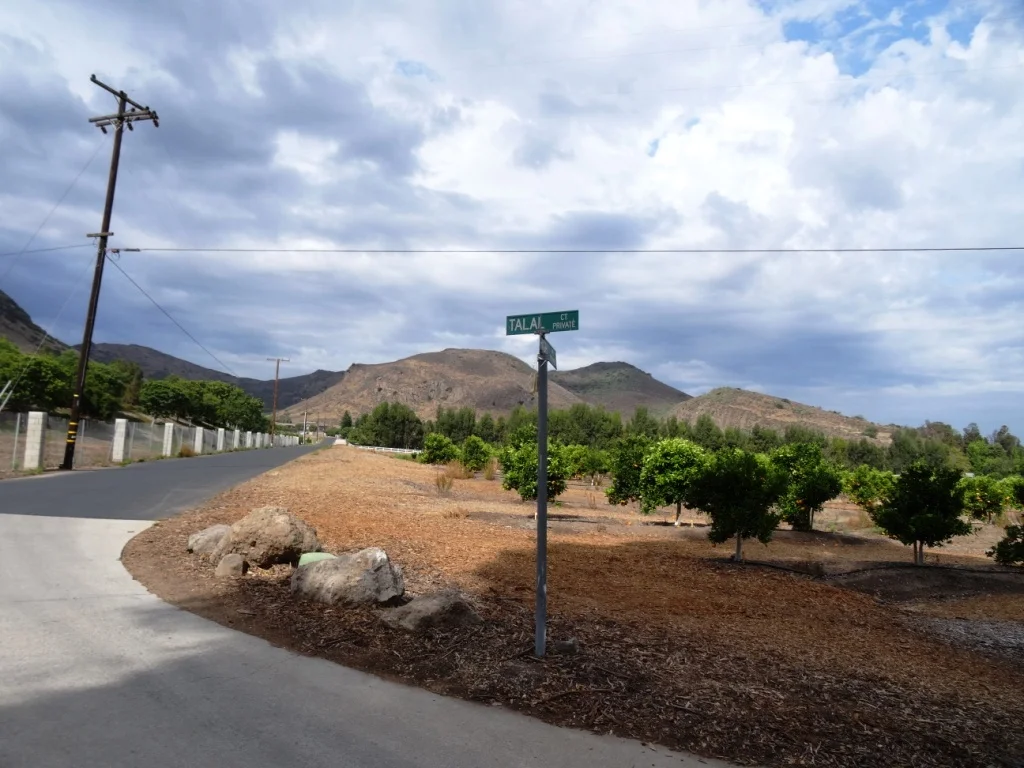
Angel Vista can most easily be accessed via the Rosewood Trail at the southern terminus of Regal Oak Ct, off of Lynn Road). The trail is approximately 3 miles round trip to the top and back. There is a picnic table and nearby bench at the peak.
Or for a much longer hike, take the Los Robles Trail (either the Thousand Oaks side accessible at South Moorpark Road and Greenmeadow Ave or Newbury Park side off of Potrero Road).
The Conejo Open Space Foundation provides a useful map at cosf.org/trails/los-robles.

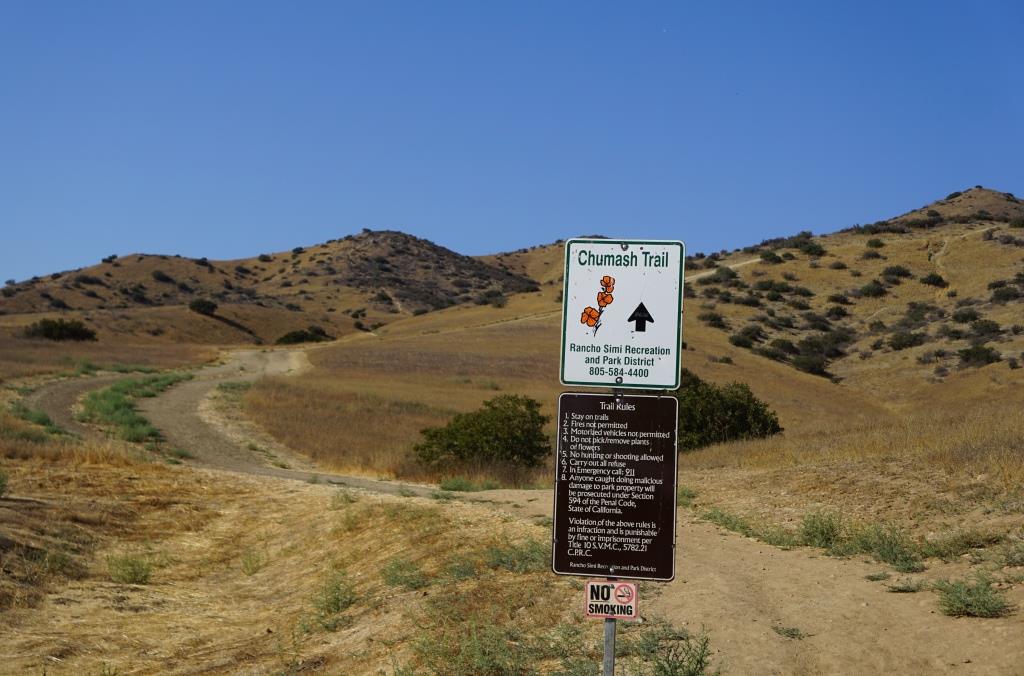
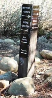
You'll eventually see this sign if you make the trek up the Rosewood Trail.

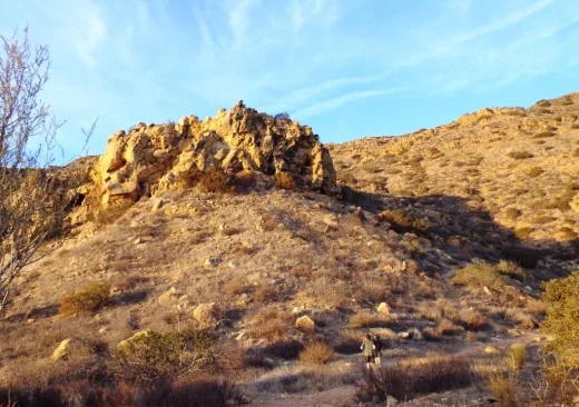
The bench is in sight!


Fun to see at least a portion of Hidden Valley from up here.