Rabbit Hill (Knoll Open Space) in Newbury Park
/
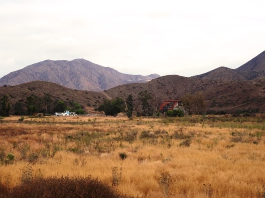
The Knoll Open Space is a 21 acre plot of land owned by the Conejo Open Space Conservation Agency located at the corner of Reino Road and Old Conejo Road in Newbury Park (across the street from Peppertree Playfields). This plot of land is more affectionately known as Rabbit Hill. While it doesn't take too much effort to get to the top of Rabbit Hill, you will definitely be rewarded with a nice, panoramic view towards Boney Mountain, Thousand Oaks and Conejo Mountain. This hill is somewhat less challenging than the steeper Tarantula Hill in Thousand Oaks, so if you're looking for a nice after-dinner stroll, this is a fine choice. While not the most exciting hill to look at, the views make it worthwhile! You can park on Reino Road to start your short journey.

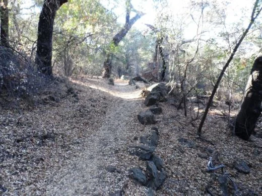
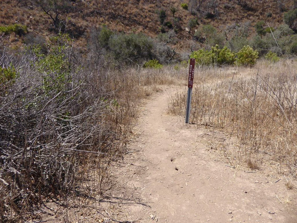
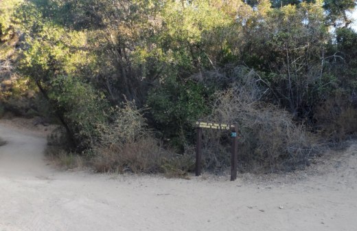
You can either take a straight shot up the hill or a more gradual curved trail.

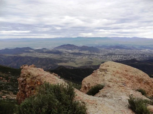
Views toward Boney Mountain.