Arroyo Conejo Trail in Thousand Oaks
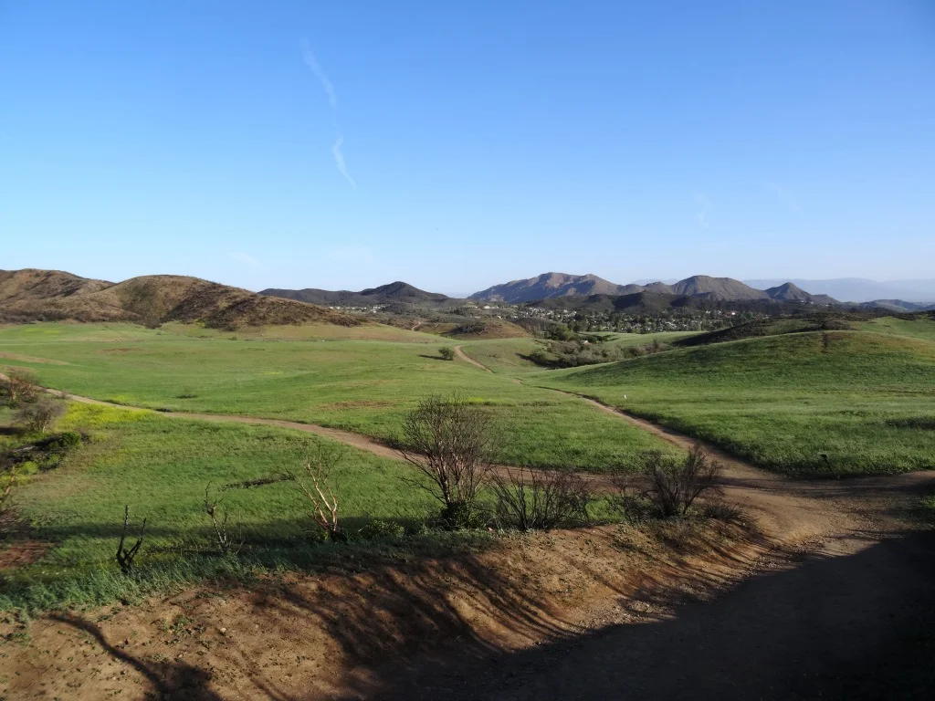
/The Arroyo Conejo Open Space consists of 302 acres, bounded by Wildwood Park and Conejo Canyons on the north, Lynnmere Open Space on the east and the Rancho Conejo residential development on the west. There’s a trailhead at Rancho Conejo Playfield at 950 N. Ventu Park Road in Newbury Park.

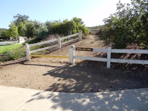
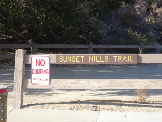
The Arroyo Conejo Trail trailhead is on the far right/east section of the parking lot facing the park's restrooms and tennis courts.

Arroyo Conejo Trailhead is on the right side of the parking lot.
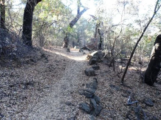
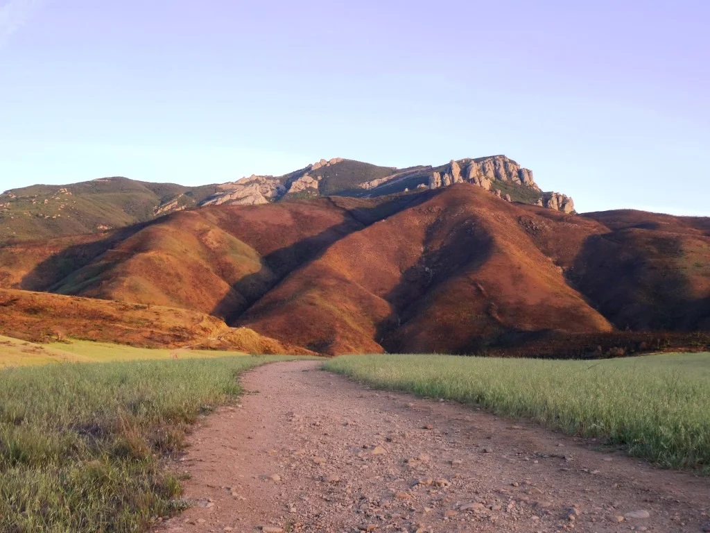
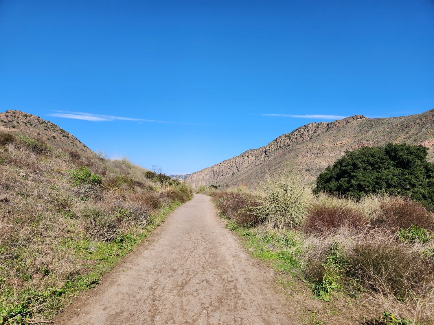
The trail veers to the left (if you go down the initial trail to the right, you will see this is not open to the public). After passing the park, you will notice that the canyons below are mighty steep and you will hear the creek down below.
After you get to a gate (see below), the downhill is pretty significant and you may see a mini-waterfall on your way down to the creek, where you will immediately come to a crossing that, the last time I was there, had several wooden pallet crossings.

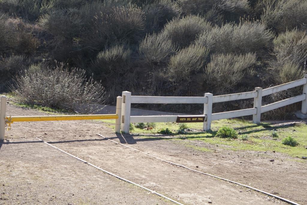
The gate that signals you are about to head downhill into the canyon.

The first stream at the bottom of the hill had these nicely placed wooden planks to alleviate the problem of wet shoes.
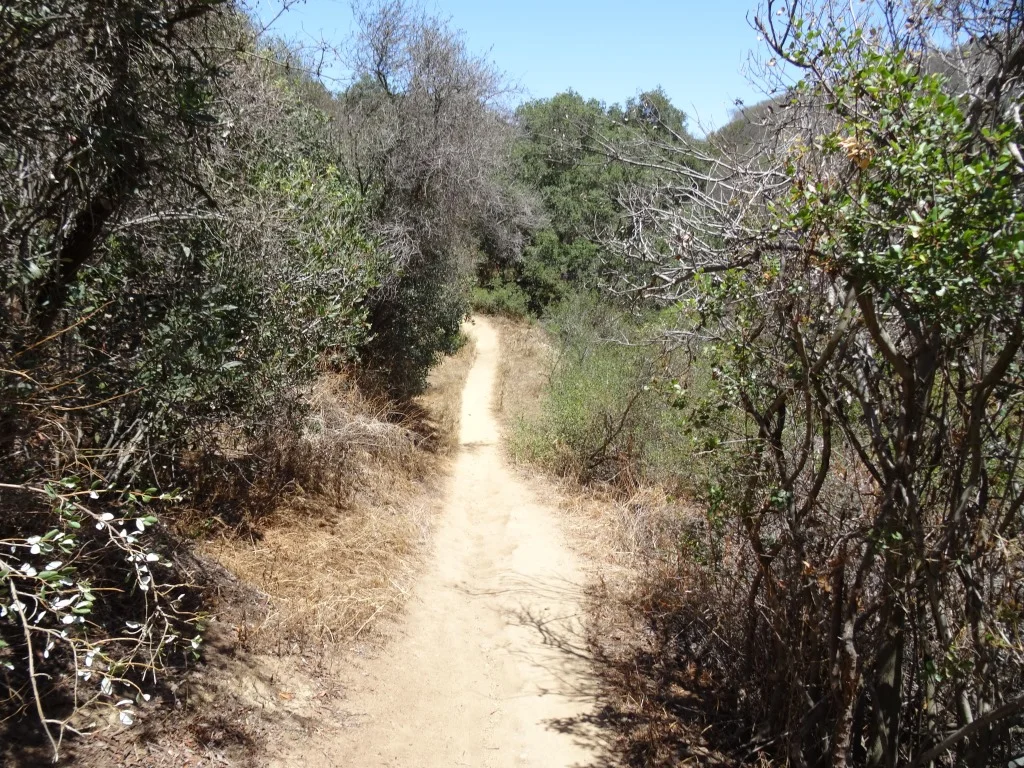
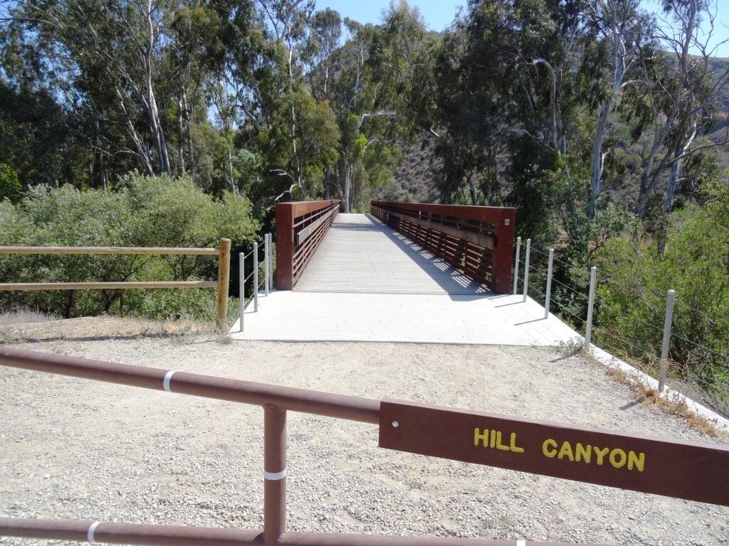
If you continue on straight, you will come across four more creek crossings. Often you will find large rocks or wood planks to walk across, but sometimes you won't find one, so be prepared for the possibility of wet feet if your plan is to reach the Hill Canyon Water Treatment Plant. If you do get that far, then turn back, you'll have done about 5 miles round trip.

Some of the stream crossings are a bit dicier getting across, that is if you don't want to get wet.

You've reached your destination but probably don't want to be jumping in these wetlands.
If you're looking to extend the hike into something more strenuous, after the first stream crossing, if you look on your right you'll find a steep trail that gets you to the Lynnmere Trail.
Learn more and see a map on the Conejo Open Space Foundation website at cosf.org/trails/other-trails/moderate-hike-arroyo-conejo-to-hill-canyon.