Elliot Mountain Trail and Outlaw Loop Trail in the Conejo Canyons Open Space, Thousand Oaks

Views from Elliot Mountain Peak in the Conejo Canyons Open Space

Views from Elliot Mountain Peak in the Conejo Canyons Open Space

Burt Elliot was a long-time trail volunteer in the Conejo Open Space and the Santa Monica Mountains National Recreation Area. He passed away in 2014, but his name lives on forever in the Conejo Open Space.

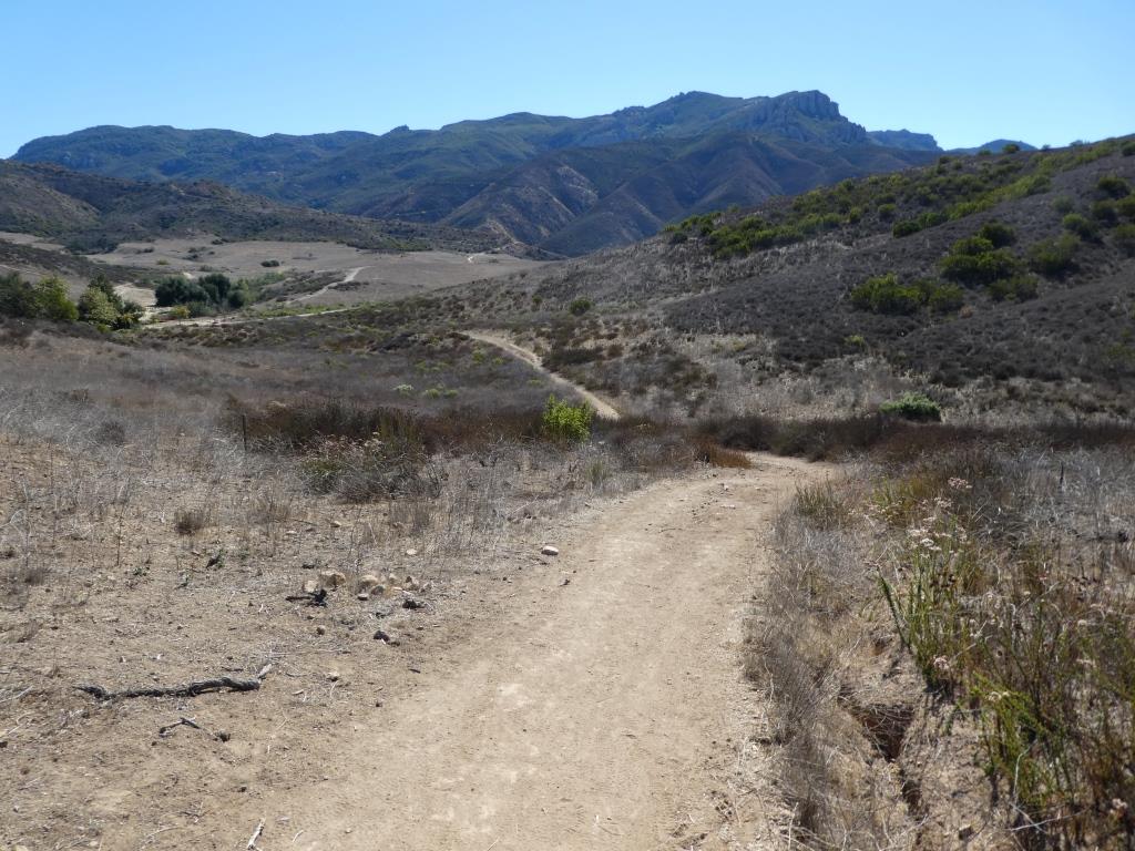
The Elliot Mountain Trail is a short (maybe .3 mile) spur trail off of the Outlaw Loop Trail in the Conejo Canyons Open Space in Thousand Oaks. This short, single-track trail leads you to the peak of Elliot Mountain, where you can enjoy panoramic views of the area.

This is about a 4 1/2 to 5 mile hike from the Conejo Canyons Bridge. Elliot Peak is about 975 feet, making it a fairly moderate hike, though indeed half the hike is fairly hilly. Reaching the top of Elliot Peak is slightly rocky, so you want to make sure to wear shoes made for hiking and consider a hiking stick.

Let’s do it:

Access the Conejo Canyons bridge via Santa Rosa Road. Coming from Thousand Oaks, take Moorpark Road north down the Norwegian Grade, where it intersects with Santa Rosa Road. Continue about 3.7 miles on Santa Rosa Road and make a left on Hill Canyon Road. Drive down Hill Canyon Road and you will see a large, flat dirt parking area on the right, adjacent to Santa Rosa Valley Regional Park. There’s also parking in a dirt lot directly across from the Conejo Canyons Bridge on the left.

Take the flat Hill Canyon Trail about a mile until you get to a juncture with a sign. The sign says go straight to the Hawk Canyon Trail or a take a right on the Western Plateau Trail. Take the right.

This is the steepest part of the hike. You’ll go up the Western Plateau Trail about 1/2 mile until you see the first juncture. One the left you’ll see a sign that says “Vista Point,” where you see a bench with nice views. Directly across from there is a post with a “Bell Box” (a box where cyclists can borrow a bell to alert others to their presence). Next to the that is the single track “Outlaw Trail.” That’s where you’re going.

The Outlaw Trail is a mile and a half mostly single track loop trail with fantastic views of the area. Lots of switchbacks on this trail makes it popular with cyclists. I usually see one or two of them up here, and usually zero hikers (excluding yours truly). Shortly after entering the Outlaw Trail, you’ll reach a fork where you decide whether to go clockwise or counter-clockwise. If like me you tend to go clockwise, you’ll eventually will pass a trail to the left (west) called the Lichen Trail. Continue east a few yards to a sign that says Elliot Mountain Trail.

As mentioned above, the Elliot Mountain Trail is a short spur trail to the peak. The final couple dozen steps involve very minor rock climbing as an fyi. Nothing excessive. But it can get slippery. I’ve managed to get up there and back down perfectly fine in regular running shoes and no hiking pole, but just be careful.

Then after enjoying the views, you come back down to the Outlaw Trail and continue your way around the loop back down to the Western Plateau Trail. Enjoy your hike!

Conejo Canyons Bridge is the entry point to the trail.

Conejo Canyons Bridge is the entry point to the trail.

The Hill Canyon Trail is one of the flattest trails in the Conejo Valley. Take it a about a mile to the Hawk Canyon/Western Plateau sign juncture.(For continued flat trail, continue straight on the Hawk Canyon Trail.)
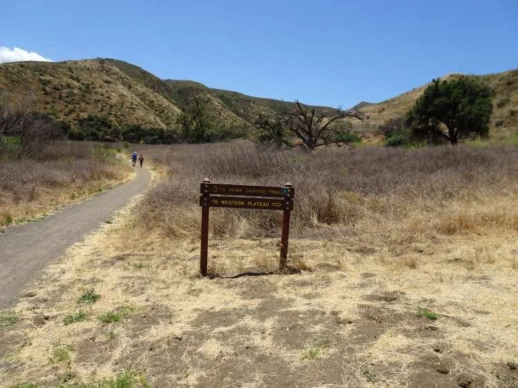
The Hill Canyon Trail is one of the flattest trails in the Conejo Valley. Take it a about a mile to the Hawk Canyon/Western Plateau sign juncture.(For continued flat trail, continue straight on the Hawk Canyon Trail.)

The Hawk Canyon Trail/Western Plateau Trail juncture. Exit stage right.

The Hawk Canyon Trail/Western Plateau Trail juncture. Exit stage right.

This section of the Western Plateau Trail is the steepest and widest section of the hike. There’s a bench off to the left about halfway up the hill if you need a break.

This section of the Western Plateau Trail is the steepest and widest section of the hike. There’s a bench off to the left about halfway up the hill if you need a break.

At the top of the hill, the first juncture is the Outlaw Loop Trail on the right. To the left (not picture here), you’ll see a sign that says “Vista Point.” There’s another bench here.
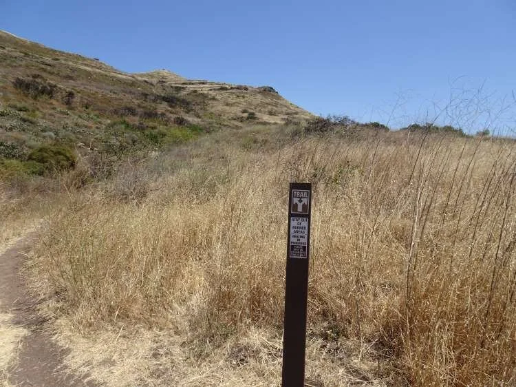
At the top of the hill, the first juncture is the Outlaw Loop Trail on the right. To the left (not picture here), you’ll see a sign that says “Vista Point.” There’s another bench here.

A few step into the Outlaw Loop, you’ll see this sign. Either direction gets you to the Elliot Mountain Trail.

A few step into the Outlaw Loop, you’ll see this sign. Either direction gets you to the Elliot Mountain Trail.

Eventually you will see this sign. You’re on your way up to Burt Elliot’s peak.

Eventually you will see this sign. You’re on your way up to Burt Elliot’s peak.

But before you reach the peak, there’s yet another bench placed by the Conejo Open Space Conservation Agency to enjoy the views.

But before you reach the peak, there’s yet another bench placed by the Conejo Open Space Conservation Agency to enjoy the views.

The trail to the peak, like the Outlaw Trail, is quite narrow, though nicely maintained.

The trail to the peak, like the Outlaw Trail, is quite narrow, though nicely maintained.
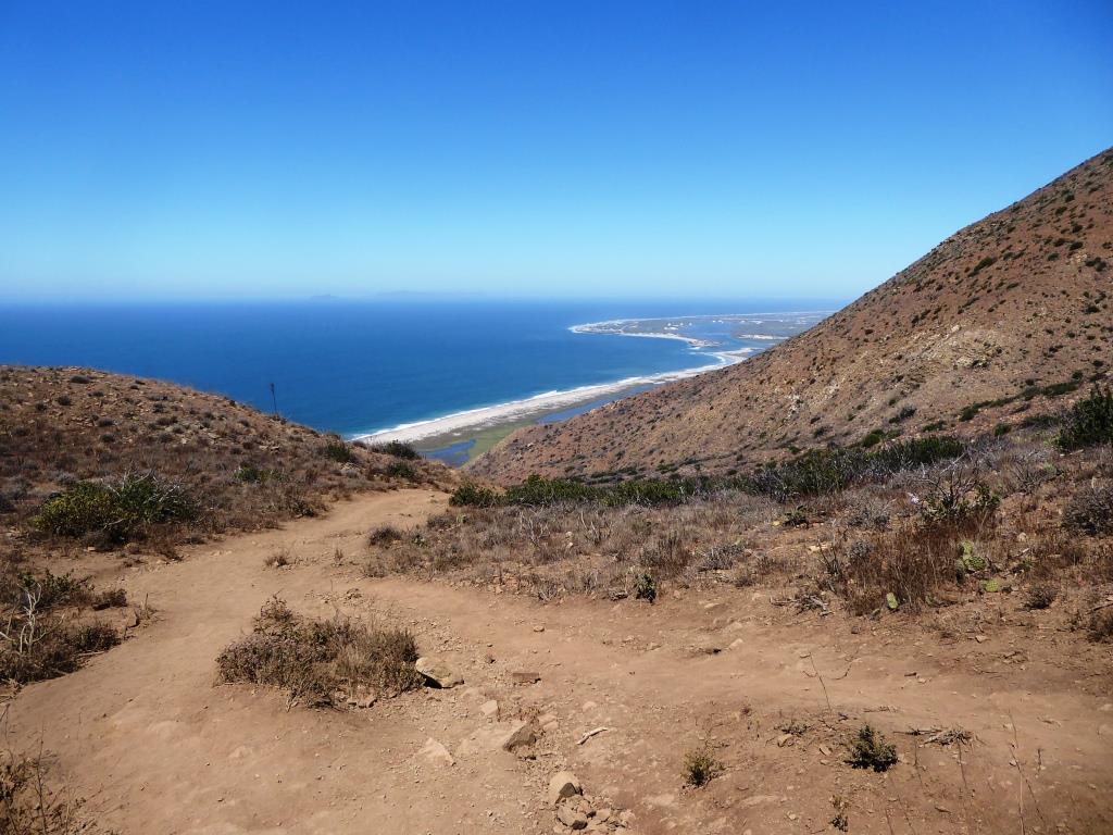
Chumash Trail in Pt. Mugu State Park

ChumashTrail1.jpg

The Chumash Trail trailhead is accessible off of PCH at this link. It is at the western tip of Point Mugu State Park, about 2 1/2 miles from where Las Posas Road connects to PCH in Camarillo, and about 10 miles from the intersection of Las Posas Road and Highway 101.  It is across the street (PCH) from a Naval Base Ventura County training range. Look for the left turn into a small dirt parking area that has space for perhaps 15 or so cars.

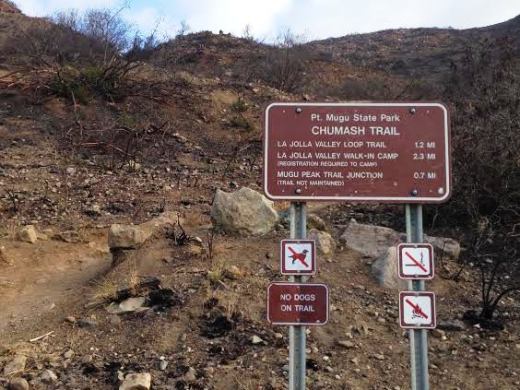
The first .7 mile of the Chumash Trail is quite rocky and steep. Make sure to wear good hiking shoes and possibly carry a hiking stick, especially if you have bad knees. Dogs are not allowed. My kids did not enjoy this particular hike (ages 8 and 11 at the time). Definitely not stroller friendly. Awesome views and nice ocean breezes, but there is no protection from the sun, so wear sunscreen if it is sunny out.

You finally reach a flat area after the first .7 mile, where you can veer left (north) to continue on the Chumash Trail for another .5 mile (option 1) or turn right (east), which leads you to the Mugu Peak Trail (option 2).

After the additional .5 mile (option 1) on the Chumash Trail, you reach the La Jolla Valley Loop Trail that circles the La Jolla Valley Natural Preserve. There is a walk-in campground a little over a mile into the hike that technically you are required to reserve and pay for at the nearby Ray Miller Trailhead, which has a lot more parking, etc. The La Jolla Valley Loop Trail is roughly three miles in total if you do the entire loop.

The Mugu Peak Trail (option 2) is a couple miles covering the south ridgeline of Mugu Peak, offering more majestic views stretching across the Pacific Ocean to Anacapa/Santa Cruz Islands and beyond. It connects to the La Jolla Valley Loop trail.
Map of Point Mugu State Park at www.nps.gov/samo/planyourvisit/upload/PointMuguSP_Map_LAMountains_1.jpg.

This sign was here at one point but was gone for some reason as of July 2016.

This sign was here at one point but was gone for some reason as of July 2016.

ChumashTrail2.jpg
Great perspective on the gigantic sand dune below to the south.

Great perspective on the gigantic sand dune below to the south.

Grant Park / Serra Cross Park in Ventura

SerraCrossPark1.JPG

For some of the most spectacular views of Ventura you can ask for, stop by Grant Park / Serra Cross Park off of Ferro Drive in Ventura. Grant Park is a 107 acre park of mostly open space. Serra Cross Park is located at Grant Park. It is a one acre parcel that contains the wooden cross shown below.

The land and cross were sold to San Buenaventura Heritage, Inc. in 2003 in order to maintain the historic cross, which was placed on this spot in 1941 to replace the previous cross that was erected in 1912.

Visit www.serracrosspark.org to learn more about Serra Cross Park.

Get there via Brakey Road to the left side of Ventura City Hall or Ferro Drive off of Cedar Street. There are no restrooms, playground, drinking fountains, etc. at this park.

SerraCrossPark2.JPG
SerraCrossPark3.JPG
SerraCrossPark4.JPG
SerraCrossPark5.JPG
SerraCrossPark8.JPG

Santa Rosa Valley Regional Park in Camarillo

Located at 10241 Hill Canyon Road in Camarillo, Santa Rosa Valley Regional Park is a 50 acre county park with hiking, trails and equestrian riding areas. Open 7:30 am - 5:00 pm - (January, February, November, December), until 6:00 pm (March, October), 7:30 pm (April, May, September) and 8:00 pm - (June, July, August). There is no playground area here...this park is mostly geared towards hiking, exploring and horseback riding. Parking is $2 on weekdays and $4 weekends.

SantaRosaValleyRegPark.JPG

This park is located at the entry point to the Conejo Canyons bridge, where you can access trails in the Western Plateau area of Thousand Oaks, maintained by the Conejo Open Space Foundation.

From Thousand Oaks, take Moorpark Road down the Norwegian Grade through Santa Rosa Valley until you see the sign shown below.

More information at www.ventura.org/parks-department/inland-parks/santa-rosa-valley-park-camarillo.

SantaRosaCountyPark_sign.JPG

Sandstone Peak Hike in Malibu

Views from Sandstone Peak trail towards Lake Sherwood.

Views from Sandstone Peak trail towards Lake Sherwood.

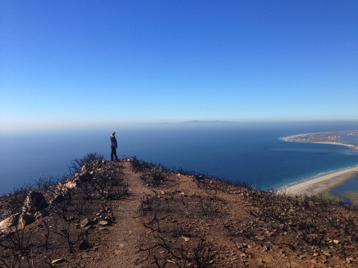
Sandstone Peak is the highest point in the Santa Monica Mountains at an elevation of 3,111 feet. Views from the trail stretch from the Pacific Ocean and Channel Islands and inland to the Conejo/Simi Valleys.

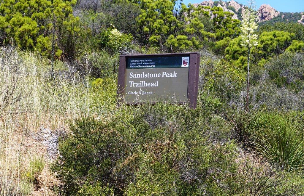
From the Conejo Valley, take Westlake Boulevard south until it becomes Decker Canyon, make a right on Mulholland, then right on Little Sycamore Road, which becomes Yerba Buena Road, with an endpoint of Sandstone Peak Trailhead. Before you see this sign on the right, you will be passing a parking lot at the Mishe Mokwa Trailhead. Another .6 miles and you'll see the sign below.

The hike is only about 3 miles round trip. Depending on how fast you go, the 1.5 mile climb to the top can take anywhere from 25 minutes to an hour. The trail is well maintained but has quite a bit of loose stones, so be sure to wear good shoes so you don't twist an ankle. The starting elevation at the Sandstone Peak trailhead is 2,030 feet, so you'll be climbing over 1,000 vertical feet over 1.5 miles.

Visit the National Park Service website at www.nps.gov/samo/planyourvisit/circlexranch.htm for more information about the Circle X Ranch area and a printable pdf map of the trails that will get you to Sandstone Peak, including the Mishe Mokwa Trail, Grotto Trail and the Backbone Trail.

To extend the hike, check out Sandstone Peak to Inspiration Point and Tri Peaks.

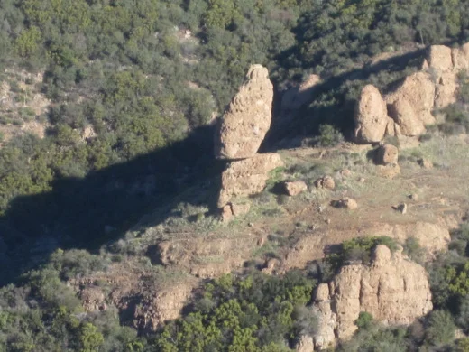
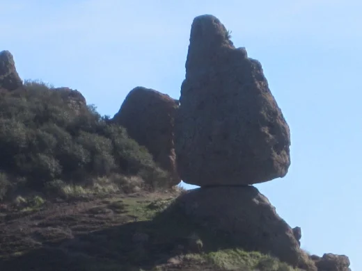
There are several ways of getting to Sandstone Peak. The most direct way is the trailhead directly up to Sandstone Peak (takes about an hour) and the other is via the Mishe Mokwa Trail, which takes you to Split Rock, through a loop that connects you to the Backbone Trail to Sandstone Peak. This trail will give you views of "Balanced Rock" that you'll see pictured below. Once you reach Sandstone, you'll find a steep staircase that will take you to the peak.

Sandstone0.1.jpg
Balanced Rock

Balanced Rock

Balanced Rock from another angle.

Balanced Rock from another angle.

Sandstone7.jpg
Sandstone10.jpg
Prior to the Woolsey Fire of November 2018, this sign and staircase marked the final ascent to the peak. They were destroyed in the fire, however, and a new path was constructed . See photo below.

Prior to the Woolsey Fire of November 2018, this sign and staircase marked the final ascent to the peak. They were destroyed in the fire, however, and a new path was constructed . See photo below.

New path leading to final ascent to the top after Woolsey Fire.

New path leading to final ascent to the top after Woolsey Fire.

The unofficial name bestowed on Sandstone Peak by the Boy Scouts is "Mt Allen," named in honor of W. Herbert Allen to commemorate his gift of this mountain to the Boys Scouts of America in 1965.

The unofficial name bestowed on Sandstone Peak by the Boy Scouts is "Mt Allen," named in honor of W. Herbert Allen to commemorate his gift of this mountain to the Boys Scouts of America in 1965.

Sandstone2.jpg

Lynnmere Trail in Thousand Oaks

The Lynnmere Open Space contains 4 to 5 miles of ridgeline trails in 114 acres in the area south of Wildwood Park and west of Lynn Road in Thousand Oaks.  Awesome views of Wildwood Park, Mount Clef Ridge and the Conejo Canyons Open Space.

Views from Lynnmere Trail looking north towards Wildwood Park and Mount Clef Ridge.

Views from Lynnmere Trail looking north towards Wildwood Park and Mount Clef Ridge.

As you can see in the map below (provide courtesy of the Conejo Open Space Foundation), you can actually hike a nice loop on the Lynnmere Trail and connect to other trails in the area.

ArroyoLynnmereLoop_cosf.gif

There are a number of places where you can enter the Lynnmere Trail, including:

The hike outlined in the image above is the fairly strenuous, seven mile Arroyo Conejo/Lynnmere Loop hike described at www.cosf.org/website/html/arroyo-conejo-lynnmere.html. Park at the Rancho Conejo Playfield at 950 N. Ventu Park Road and the Arroyo Conejo trailhead is on the right.

RanchoConejoPlayfield_sign.JPG

After about a mile and a half of rolling hills, there's a descent into the canyon. You'll come across the creek at the bottom, where you'll find a foot path. Soon after crossing the path, you'll find a sharp right (unmarked to my knowledge) turn up the barranca to the Lynnmere Trail, and you're on your way.

ArroyoConejo_stream1.JPG
You may come across this bench at the peak of the southern section of Lynnmere Trail.

You may come across this bench at the peak of the southern section of Lynnmere Trail.

After the winter rains it greens up nicely here and other Conejo Valley trails.

After the winter rains it greens up nicely here and other Conejo Valley trails.

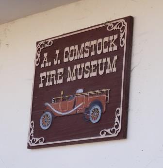
A.J. Comstock Fire Museum in Ventura

NOTE: WE WALKED BY IN MID-JULY 2022 AND IT APPEARS THE MUSEUM IS EITHER BEING REFURBISHED OR HAS MOVED.

The A.J. Comstock Fire Museum is located in the Figueroa Street Mall, a one block pedestrian section between E. Main Street and E. Santa Clara Street in Downtown Ventura.

You don't actually walk through this museum; you look through the windows and are treated to a display of vintage items, including equipment and photographs that document the history of the Ventura County Fire Department.

The museum was dedicated to retired fire chief A.J. Comstock, who served the community for 33 years, from 1940 to 1973. 

The Figueroa Street Mall is located on the west end of the Downtown Ventura area, adjacent to Mission Park and the Museum of Ventura County directly west of it and the San Buenaventura Mission directly across from it on Main Street.

This block is also home to the San Buenaventura China Alley Memorial. A Chinese community was established on this block in the 1870s. Chinese merchants, laborers, farmers, cooks, laundrymen, gardeners and servants did business here and lived in small homes. These early settlers maintained their language and customs and rituals in this small enclave. The acclaimed Chinese Fire Brigade was formed here, often the first line of defense at local fires. 

Other contributions of the Chinese immigrants to the community included a water flume above the San Buenaventura Aqueduct along Ventura Avenue and the Chinese Fire Brigade that served China Alley and the surrounding neighborhood. The Chinese Brigade was often the first fire company at the site of a fire and was instrumental in saving many structures in the downtown area. During the early days of immigration, the people of San Buenaventura welcomed their new Chinese neighbors as an inexpensive source of labor. However, with the incorporation of strict national immigration laws in the early 20th century, a hostile environment forced the residents of China Alley to relocate to other areas.

The immigrants dispersed from the area in the early 20th century when immigration laws became more exclusionary and settlers moved away, either back to China or to neighboring areas. The City of San Buenaventura and the Ventura County Chinese American Historical Society dedicated a memorial to these settlers in August 2004.

The Figueroa Street Mall

The Figueroa Street Mall

El Pescador Beach in Malibu

El Pescador Beach ("The Fisherman") has the distinction of being the closest beach in terms of auto mileage from central Thousand Oaks, located at 32900 Pacific Coast Highway, just east of the intersection of Decker Canyon Road and PCH. Along with La Piedra Beach and El Matador Beach, El Pescador is part of the Robert H. Meyer Memorial State Beach. 

El Pescador Beach is located about 2 1/2 miles east of Leo Carrillo State Beach and 5 miles west of Zuma Beach. Along with the other two beaches, El Pescador has a parking area (for a fee) and a porta-john. Dogs are not allowed on state beaches. There is also limited parking on PCH available, but be sure to look at the signs to make sure you don't park in a "no parking" zone.

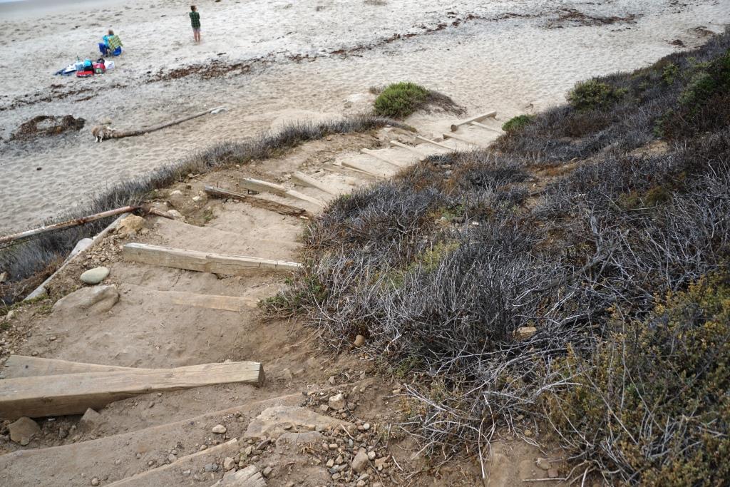
Steep, uneven stairs lead you to the beach. Not particularly stroller friendly as a result, but it's not that far to go. This beach never seems to be crowded, which is a good thing.

You can explore trek over to La Piedra Beach from here, at least when the tide is not too high.

Bottom half of the steps from the parking lot to El Pescador Beach.

Bottom half of the steps from the parking lot to El Pescador Beach.

Mugu Beach at Point Mugu State Park

Mugu Beach Sign.JPG

Mugu Beach is the first publicly accessible beach area south of Naval Base Ventura County off of PCH, located adjacent to the prominent Mugu Rock. For the most part this is the most quickly accessible beach to Camarillo and Conejo Valley residents. There is paid parking ($12 for the day last time I was there) as well as parking available on PCH. Not a big beach, not a fancy beach, but quite convenient. The more popular Sycamore Cove Beach is just 3.3 miles southeast of Mugu Beach.

LOCAL AREA BEACHES STRETCHING FROM OXNARD TO MALIBU

Public Beach Access Between Sycamore Cove and County Line Beach in Malibu

Between Sycamore Cove Beach at 9000 Pacific Coast Highway, which is part of Point Mugu State Park, and County Line Beach, across the street from Neptune's Net and Yerba Buena Road at 42505 Pacific Coast Highway, there are three or four access points to the beach.

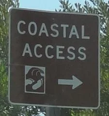
Look for the brown "Coastal Access" signs.

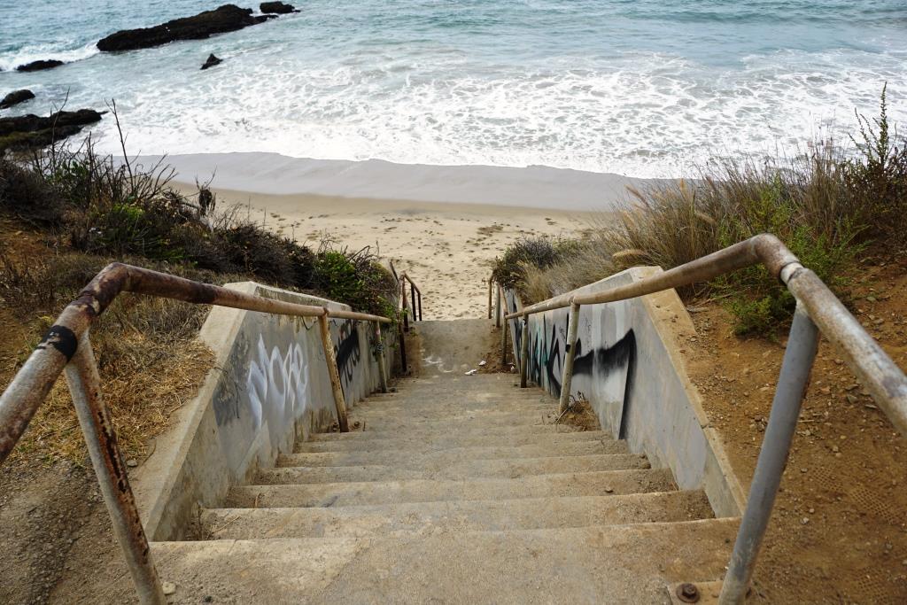
The first access point is just over a mile southeast of Sycamore Canyon at about 10302 Pacific Coast Highway. There is parking on PCH and an old staircase adjacent to a Call Box.

The not particularly well taken care of steps to the beach at (approximately) 10302 PCH.

The not particularly well taken care of steps to the beach at (approximately) 10302 PCH.

Another access point is another 1/2 mile east is at approximately 9999 Pacific Coast Highway, near the juncture of Deer Creek Road. You'll see another brown Coastal Access sign and blue Call Box. Park on PCH and look for the staircase. I call this 26 Steps Beach.

Staircase at 9999 Pacific Coast Highway

Staircase at 9999 Pacific Coast Highway

The final southeast stretch of PCH between the access point above and Neptune's Net has even less distinguishable areas, but you can pull over to the side and park over most of this stretch (except when there are No Parking signs). 

CLICK HERE FOR PUBLIC BEACHES STRETCHING FROM OXNARD TO MALIBU

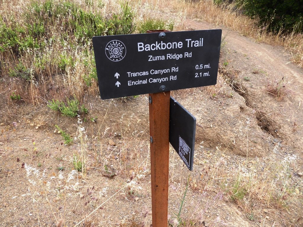
Backbone Trail Hike From Kanan Road Trailhead to Zuma Ridge Motorway in Malibu

NOTE: Closed due to damage from the Woolsey Fire as of December 2018. Updates at www.nps.gov/samo/planyourvisit/backbonetrail.htm.

You've driven Kanan Road from Agoura Hills towards PCH for decades and have passed by the Backbone Trail trailhead on Kanan and Newton Canyon Road just before Tunnel "T-1" hundreds of times. But you never stopped there to check it out. Well, it's about time to give it a try!

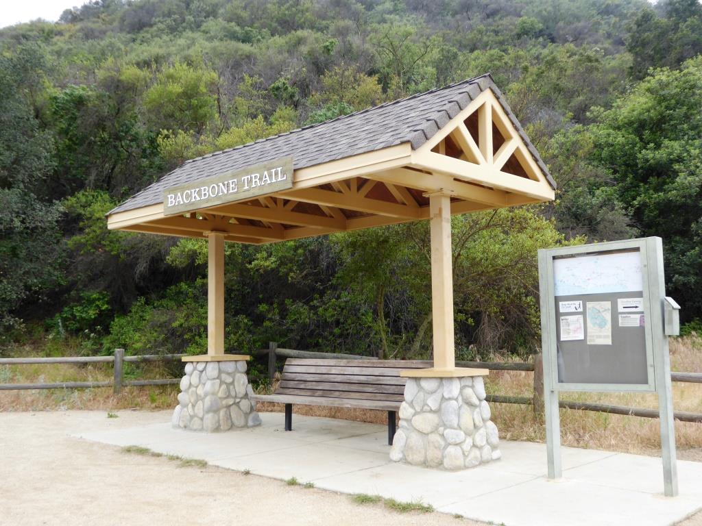
The Backbone Trail stretches 67 miles through the Santa Monica Mountains, from Will Rogers State Park on the east to the Ray Miller Trailhead on the west. There are 12 "official" Backbone Trail trailheads and the Kanan Road Trailhead is one of them. More information on the National Park Service website at www.nps.gov/samo/planyourvisit/backbonetrail.htm.

There are two trailheads to catch here at what is also referred to as the Newton Canyon Trailhead. The Backbone Trail to the Latigo Canyon Trailhead is 2.5 miles one way headed east. The Backbone Trail to the Zuma Ridge Motorway - the one covered here - is also 2.5 miles one way headed west. 

The Backbone Trail to Zuma Ridge Motorway is a nice, moderate, winding, mostly single track, well-maintained trail. You'll encounter a creek, a view of the Upper Zuma Falls, a short bridge, some tree-lined canopied sections, wildflowers and moderately rocky sections.

KananBackboneTrail1.JPG

Once you reach Zuma Ridge Motorway, you can continue on the Backbone Trail or turn back for a five mile round trip hike.

Ranch Overlook Trail in Rancho Sierra Vista/Satwiwa in Newbury Park

Trailhead to the Ranch Overlook Trail starts at the juncture of Sycamore Canyon Fire Road (paved road that runs through Point Mugu State Park) and the access bridge to the Satwiwa Native American Culture Center.

Trailhead to the Ranch Overlook Trail starts at the juncture of Sycamore Canyon Fire Road (paved road that runs through Point Mugu State Park) and the access bridge to the Satwiwa Native American Culture Center.

This is the bridge heading the other direction from the Ranch Overlook Trail sign leading to the Satwiwa Native American Indian Culture Center.

This is the bridge heading the other direction from the Ranch Overlook Trail sign leading to the Satwiwa Native American Indian Culture Center.

The one mile Ranch Overlook Trail is located in Rancho Sierra Vista/Satwiwa in Newbury Park.

The trail extends from just west of the Satwiwa Native American Indian Culture Center to the Palomino Trail in the Rancho Potrero Open Space.

The trail is about two wide and you’ll find hikers, runners, cyclists and equestrians all sharing it. The east portion is moderately flat, leading to a moderate hill. At the peak, you’ll have nice views toward the Rancho Sierra Vista main parking area and adjacent ranch structures as well as towards Boney Mountain.

Continue west down the trail to a juncture where you can either veer right towards the parking area and road into Rancho Sierra Vista, or you can continue straight until the next juncture. At the next juncture, if you take a left, you’ll soon be transitioning from Federal land (Rancho Sierra Vista) to Conejo Open Space land (Rancho Potrero). Though you won’t find a trail sign that indicates this, the trail that continues westward is the Palomino Trail.

Do be mindful of rattlesnakes back here. They want nothing to do with you, so if you come across one crossing the trail, let them make their way across.

The “peak” of the Ranch Overlook Trail, looking southeast towards Satwiwa and Boney.

The “peak” of the Ranch Overlook Trail, looking southeast towards Satwiwa and Boney.

Peak of Ranch Overlook Trail, looking down towards main Rancho Sierra Vista/Satwiwa parking area and restrooms.

Peak of Ranch Overlook Trail, looking down towards main Rancho Sierra Vista/Satwiwa parking area and restrooms.

This is west of the peak of the Ranch Overlook Trail, a downhill section that takes you towards Rancho Potrero.

This is west of the peak of the Ranch Overlook Trail, a downhill section that takes you towards Rancho Potrero.

This sign is at the bottom of the west side of the Ranch Overlook Trail, facing east, if you opt to take the trail counter-clockwise from the parking area.

This sign is at the bottom of the west side of the Ranch Overlook Trail, facing east, if you opt to take the trail counter-clockwise from the parking area.

This ancient oak tree is adjacent to the Ranch Overlook Trail sign near the parking lot access. This was taken in September 2018. The large branch broke off earlier that summer. In the background is the parking area.

This ancient oak tree is adjacent to the Ranch Overlook Trail sign near the parking lot access. This was taken in September 2018. The large branch broke off earlier that summer. In the background is the parking area.

This is the Palomino Trail in the adjacent Rancho Potrero Open Space, looking east towards Rancho Sierra Vista, in June 2018. These areas do green up after the winter rains in the April/May time frame….but dry up fast.

This is the Palomino Trail in the adjacent Rancho Potrero Open Space, looking east towards Rancho Sierra Vista, in June 2018. These areas do green up after the winter rains in the April/May time frame….but dry up fast.

Old Boney Trail Hike in Pt. Mugu State Park

If you're looking for a hike of about 10 miles in the Rancho Sierra Vista/Boney Mountain Wilderness area, consider the Old Boney Trail loop from Newbury Park. You can park either in the National Park Service parking lot or at Wendy Drive where it meets Potrero Road.

You can do the hike clockwise or counter-clockwise since it is a loop course. I prefer clockwise, which starts by trekking through Rancho Sierra Vista to Danielson Road. Details of this path are at THIS LINK. This path gets you to a juncture where you can continue another 3/10ths of a mile to the Danielson Monument (which you definitely should do if you've never been there) or veer a sharp right up the Old Boney Trail.

Sign at juncture of Danielson Road trail and Old Boney Trail in Pt. Mugu State Park

Sign at juncture of Danielson Road trail and Old Boney Trail in Pt. Mugu State Park

I love the Old Boney Trail. It is narrow and covered with growth on both sides. Kind of like running through a chaparral jungle. This makes the trail mostly shade covered for the first couple miles of this 3.5 mile stretch of trail. You'll be treated to some nice views of Boney Mountain along the way.

OldBoneyTrail1.JPG

Although the Old Boney Trail does not reach a peak for panoramic views, you'll still find several spots that reward you with views towards the Channel Islands and west Ventura County.

OldBoneyTrail2.jpg

About a mile or mile and a half into Old Boney Trail from Danielson Road, you'll see a turnoff sign to the right that takes you to the Fossil Trail, a mile or so drop back down to the bottom of Sycamore Canyon. The drop is about 1300 ft to 500 ft with plenty of rocky surfaces, so you'll have some fun going back down this way, for a shorter route. And of course, look closely and you'll be treated to surfaces covered with sea fossil imprints from millions of years ago.

OldBoneyFossilTrailSign.JPG

From the Old Boney Trail/Fossil Trail juncture, you have another 2.1 fun miles to the next juncture at Blue Canyon Trail at the bottom of the canyon. You'll get some more neat views of Boney Mountain during this stretch. At the juncture is the following sign on Blue Canyon Trail.

Sign on Blue Canyon Trail at the Old Boney Trail juncture in Pt. Mugu State Park.

Sign on Blue Canyon Trail at the Old Boney Trail juncture in Pt. Mugu State Park.

You will turn right on Blue Canyon Trail, which will take you to the Danielson Multi-Use area and the paved Sycamore Canyon Fire Road. A left-hand turn will get you lots of fun for another day, onward to Chamberlain Trail that gets you up to some might nice peaks, and Serrano Valley.

Sign at entrance to Blue Canyon Trail at the Danielson Multi-Use area (you of course will be looking at the back side of this sign if you're coming from the Old Boney Trail).

Sign at entrance to Blue Canyon Trail at the Danielson Multi-Use area (you of course will be looking at the back side of this sign if you're coming from the Old Boney Trail).

I've never actually seen anyone using the Danielson Multi-Use area but here's the picnic area.

I've never actually seen anyone using the Danielson Multi-Use area but here's the picnic area.

So you run through the Danielson area to the main paved road to the right (turning left of course will take you to PCH in about 4-5 miles). In another 3 miles you'll be back in civilization; these miles include the 800 foot, 3/4 mile ascent into Rancho Sierra Vista, which can be a bit brutal...perhaps my (and maybe your) least favorite section of this course. But once you're up the hill, you're home free! Time for breakfast, lunch, dinner or all of the above!

Sycamore Canyon Fire Road sign at the top of the hill in Rancho Sierra Vista/Satwiwa.

Sycamore Canyon Fire Road sign at the top of the hill in Rancho Sierra Vista/Satwiwa.

Of course, you can easily reverse this course and make your way DOWN Sycamore Canyon Fire Road, turn left onto Blue Canyon Trail, left on Old Boney Trail for 3.5 miles and then left on Danielson Road, back down into the canyon and up towards Satwiwa.