Las Virgenes View Park in Calabasas
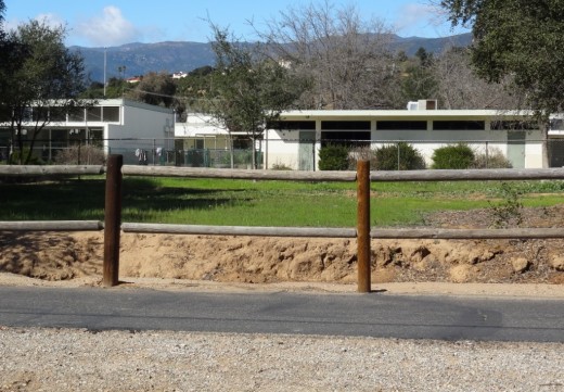
/Las Virgenes View Park is located at the northeast corner of Las Virgenes Road and Mulholland Highway in Calabasas. The park is a 696 acre project of the Santa Monica Mountains Conservancy, owned and managed by the Mountains Recreation and Conservation Authority in cooperation with the Las Virgenes Municipal Water District and City of Calabasas.
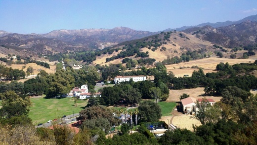
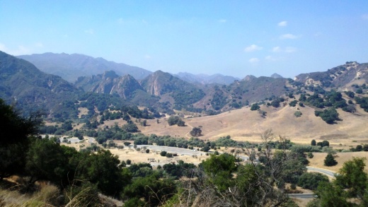
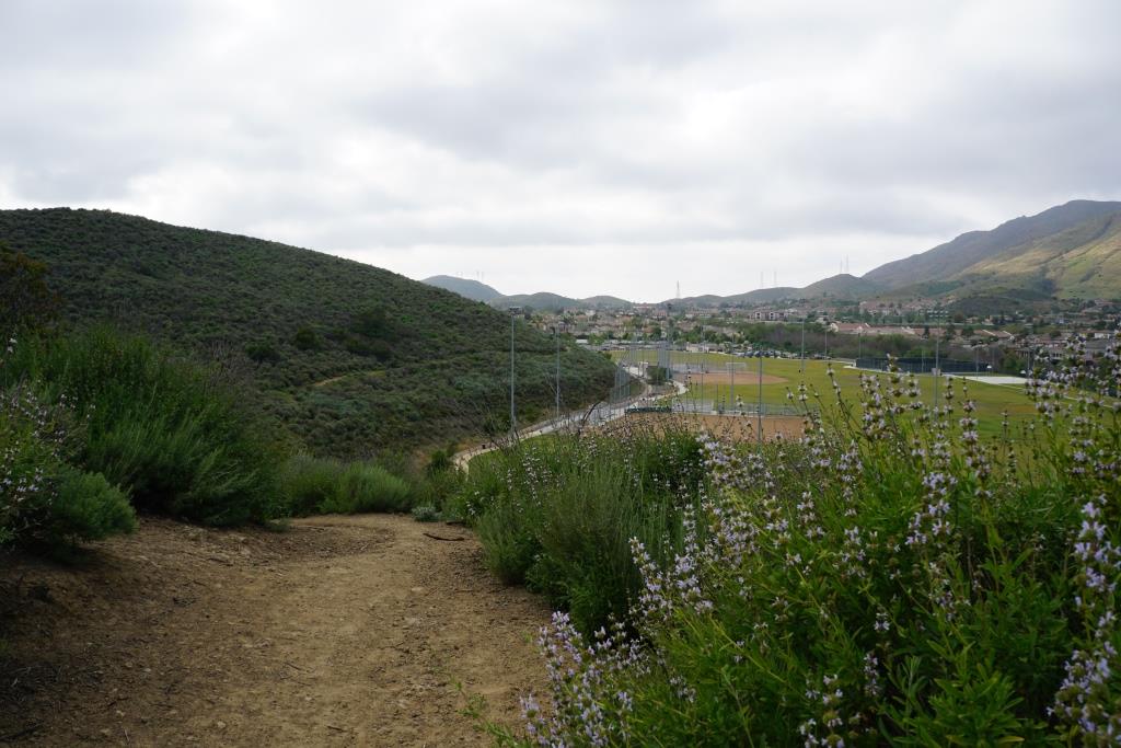
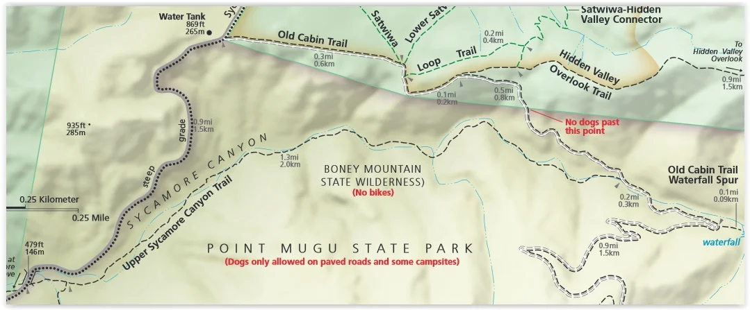
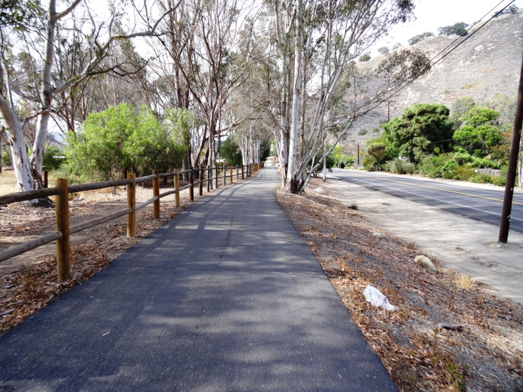
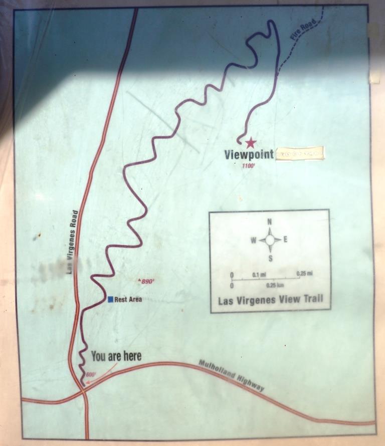
Enjoy a 2.4 mile trail through chaparral and woodlands to a scenic vista point at 1,100 feet. It is a single track trail of switchbacks that largely parallels Las Virgenes Road. You'll enjoy all sorts of views as you head up the trail, from Malibu Creek State Park, De Anza Park, King Gillette Ranch and beyond.
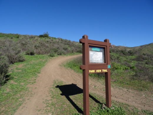
Off street dirt parking is at the trailhead and across the street. More information at www.lamountains.com/parks.asp?parkid=30.

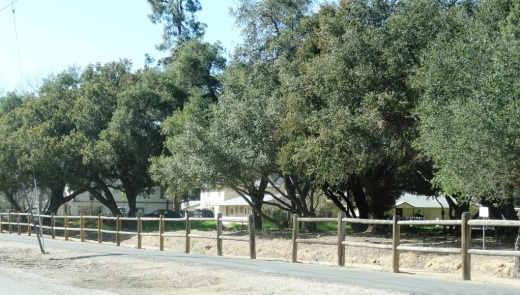
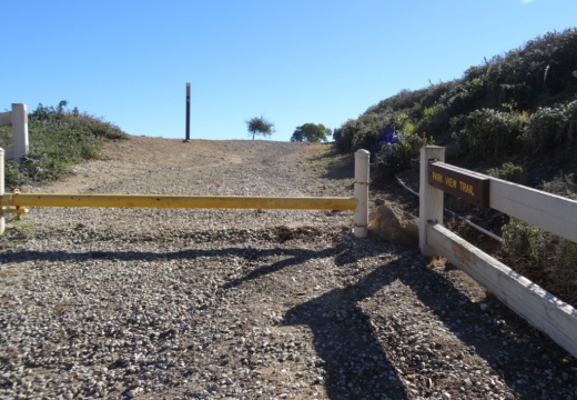
Trailhead


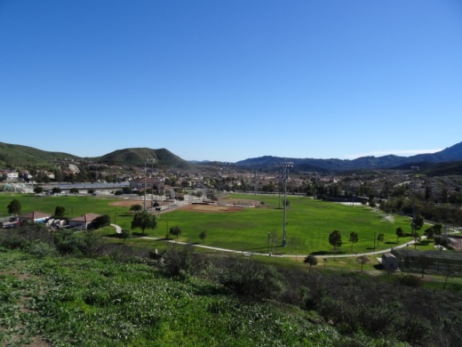
View from the Las Virgenes View Park Trail towards Malibu Creek State Park.