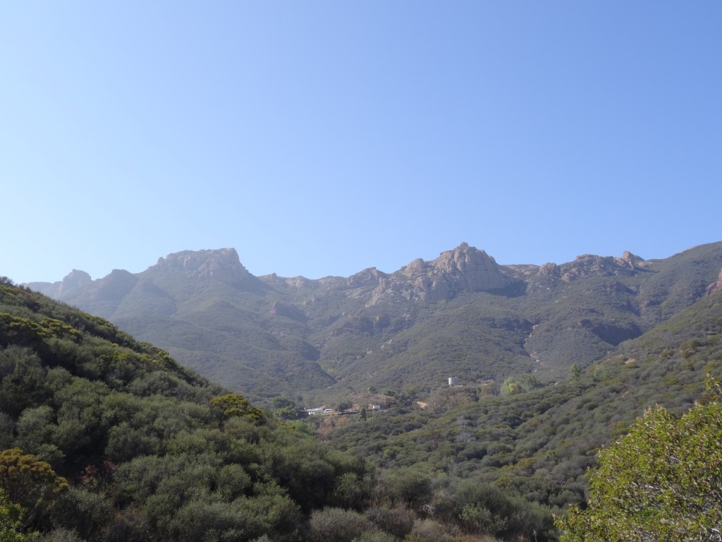
Chumash Trail in Simi Valley
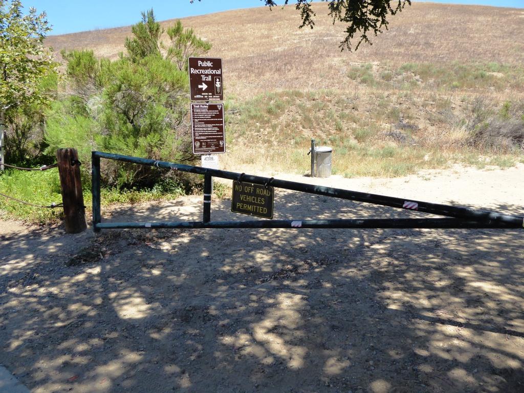
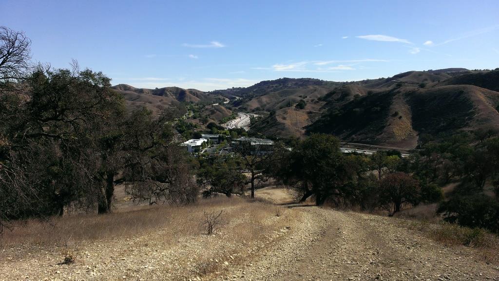
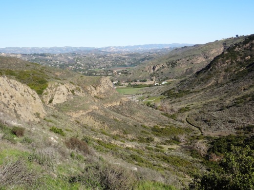
/The Chumash Trail in Simi Valley is a roughly 2.7 mile trail that takes you from near Chumash Park to the trailhead at the north end of Flanagan Drive to the Rocky Peak Trail. It is a moderate, uphill trail with plenty of views of Simi Valley. No trees and thus no shade. Dogs allowed on leash.
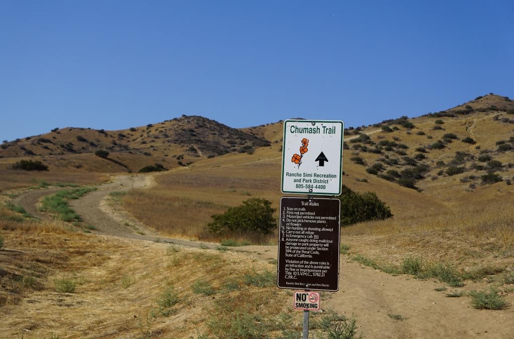
To get to the Chumash Trail trailhead, take the 118 to Yosemite, go north, turn right on Flanagan to the end. Park on the street. More information at www.rsrpd.org/simi_valley/trails/chumash_park_and_trail.php.
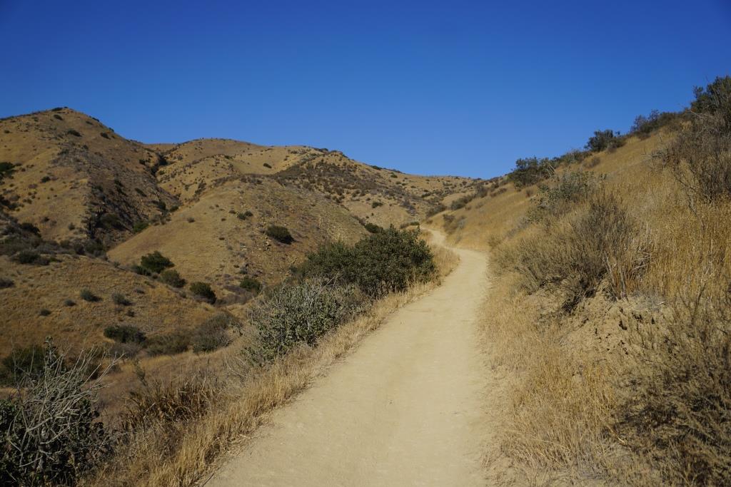


Sandstone formations appear on the upper portion of the trail.