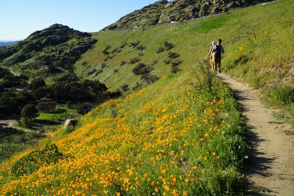
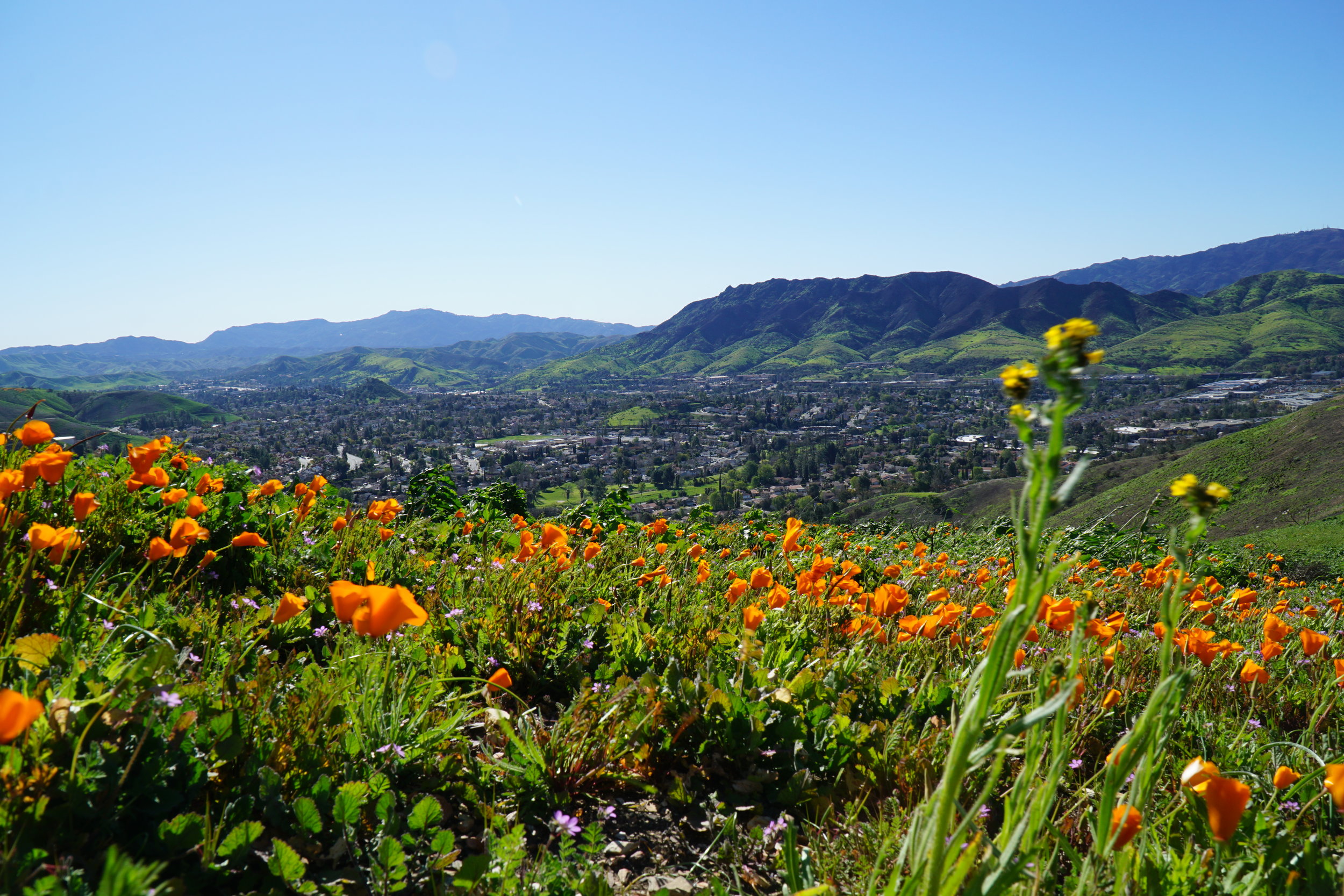
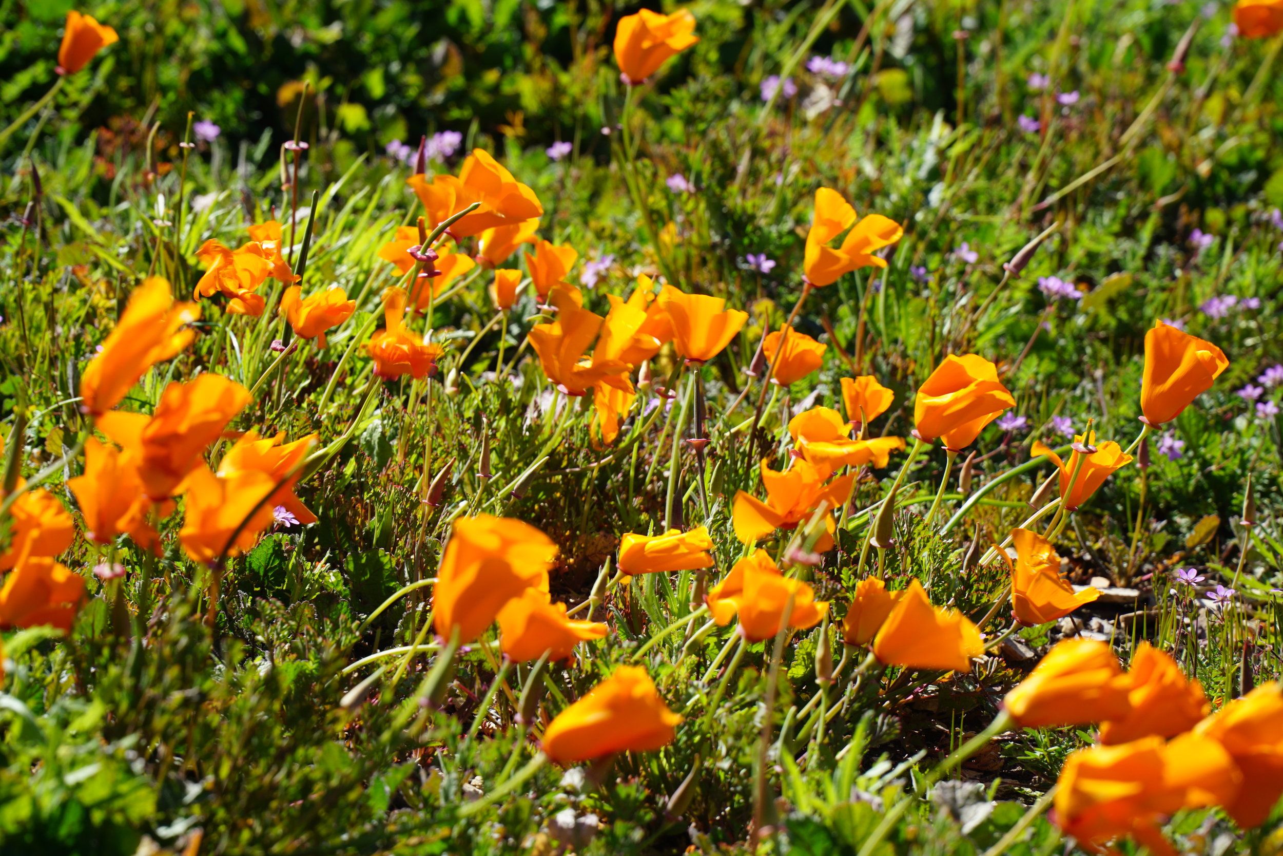
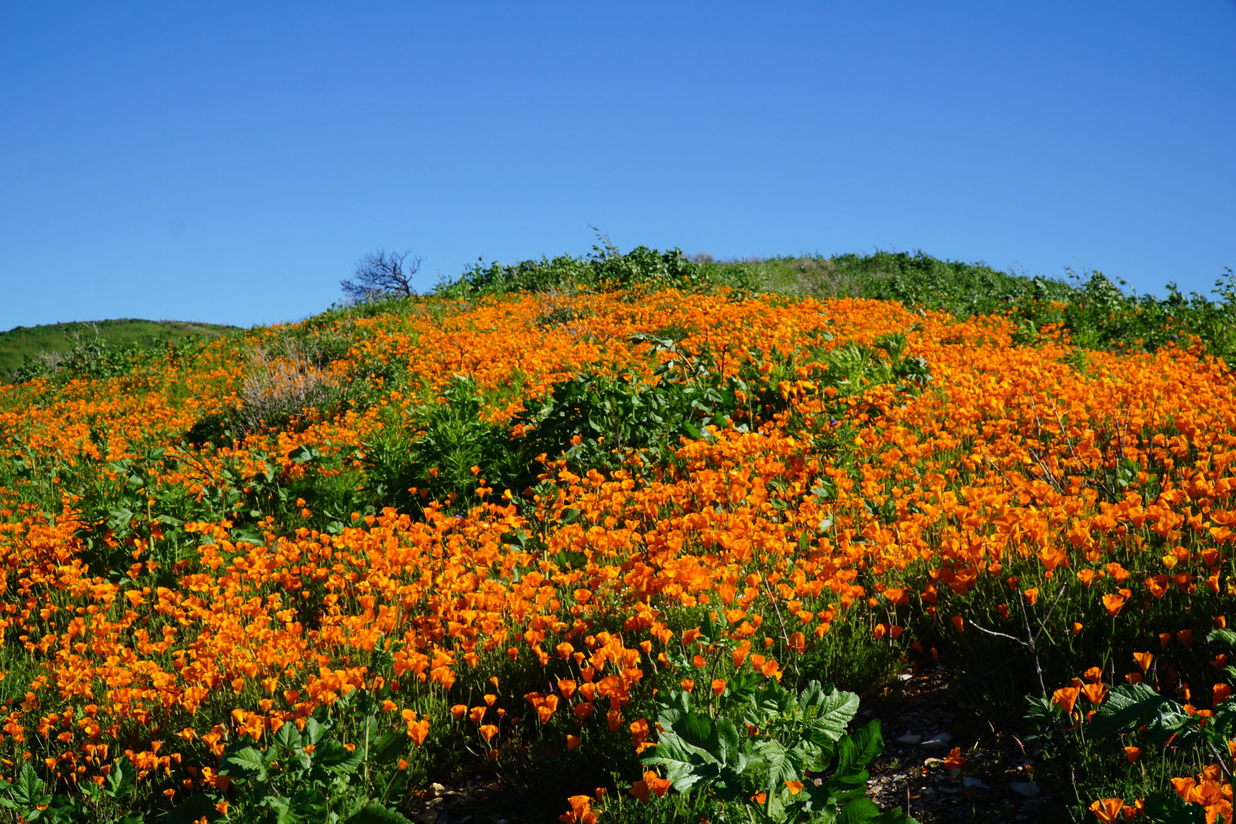
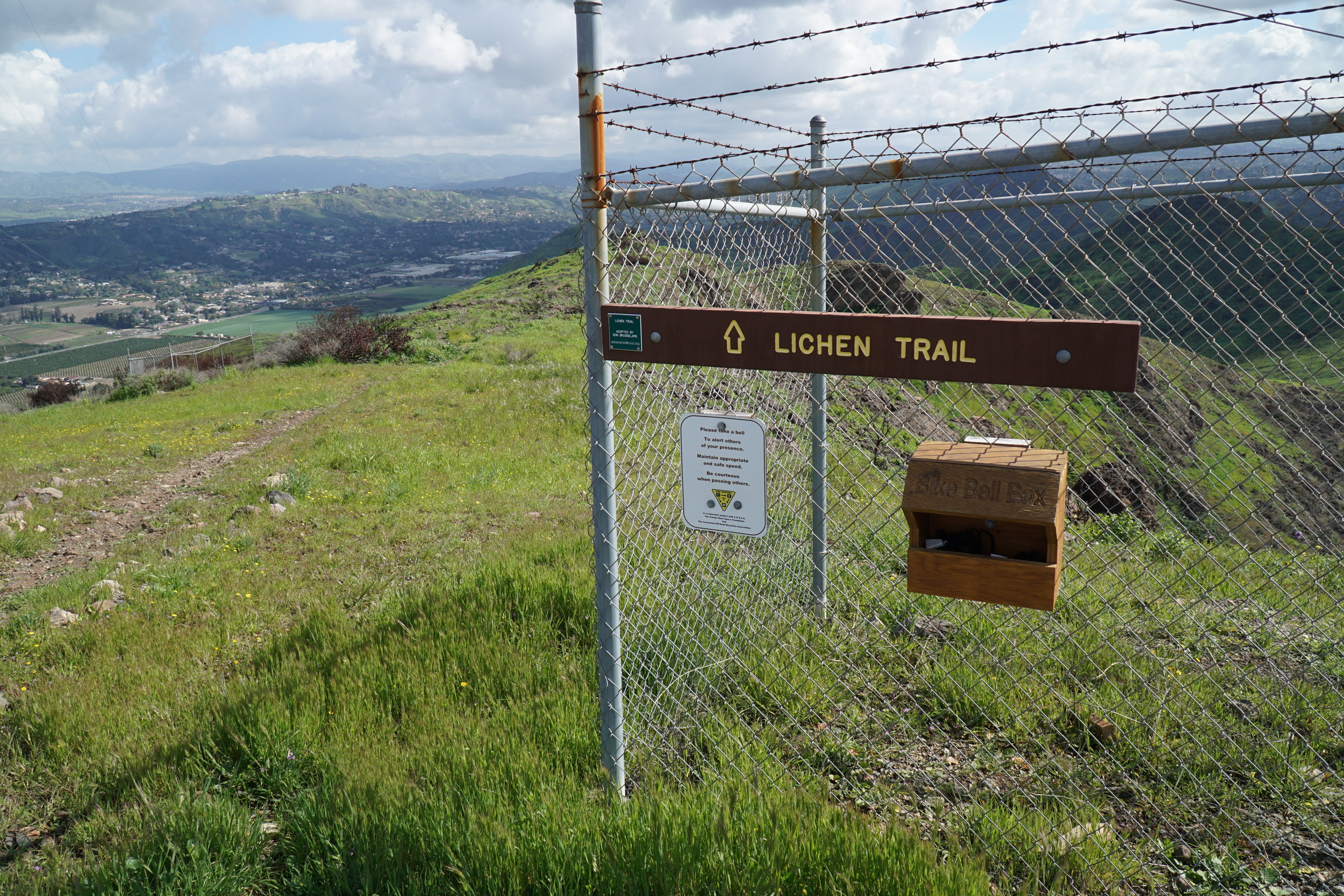
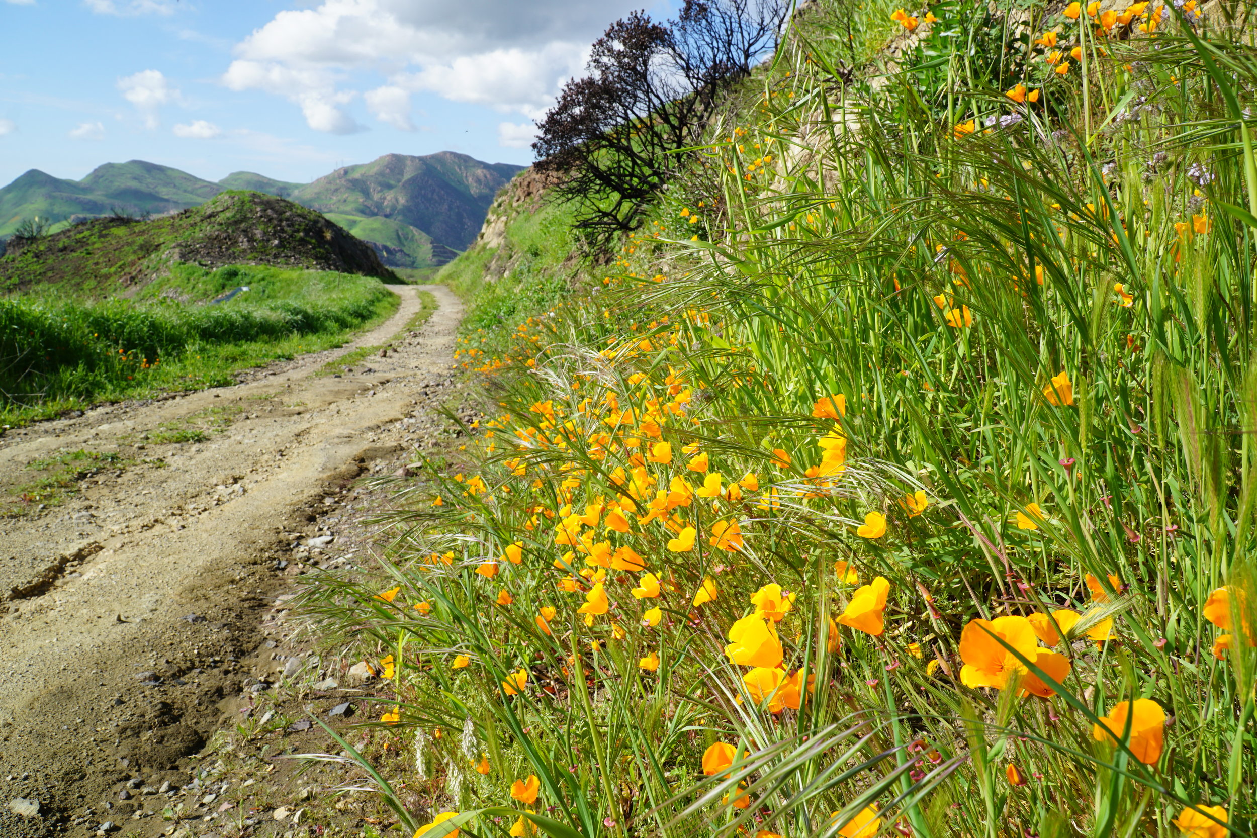
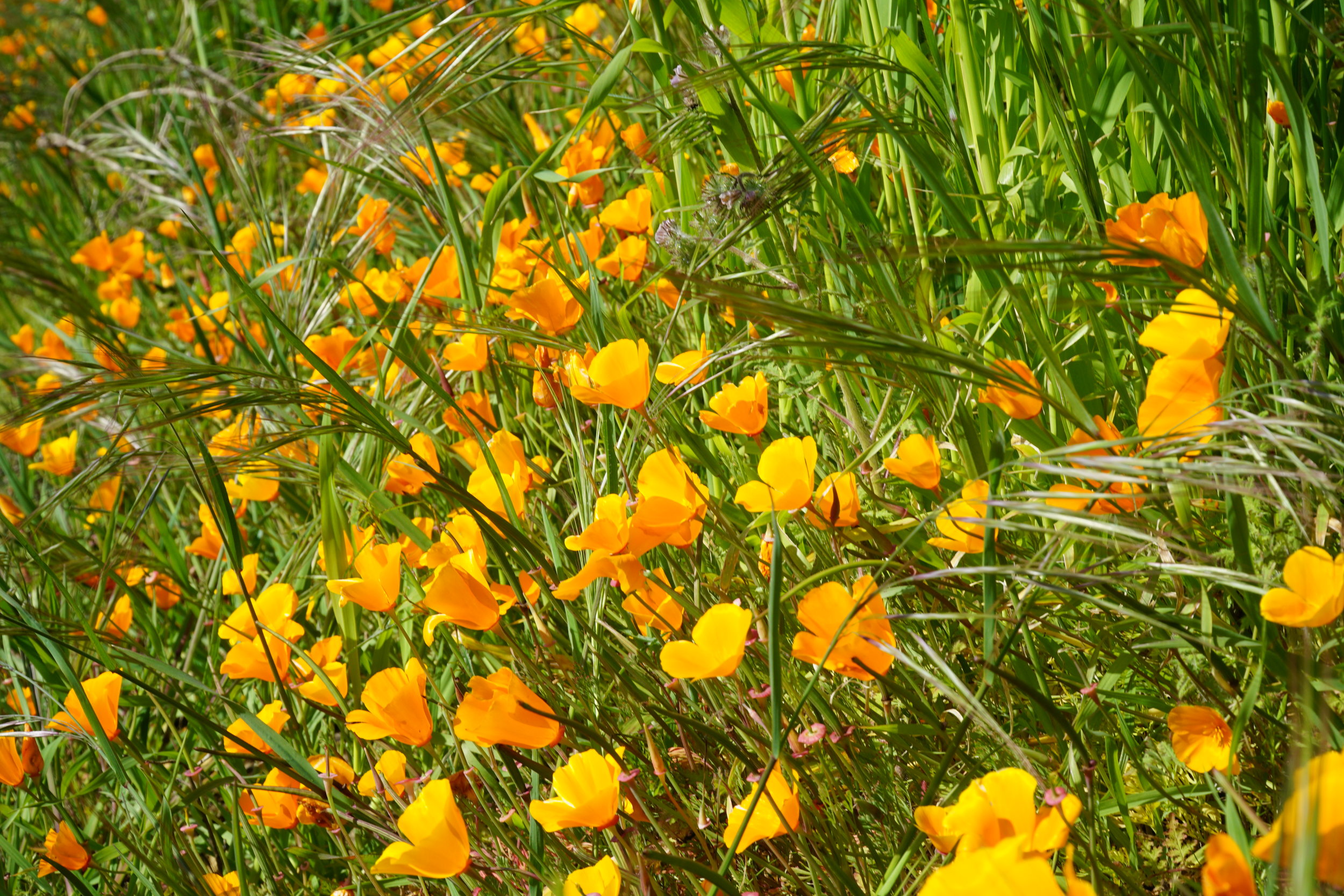
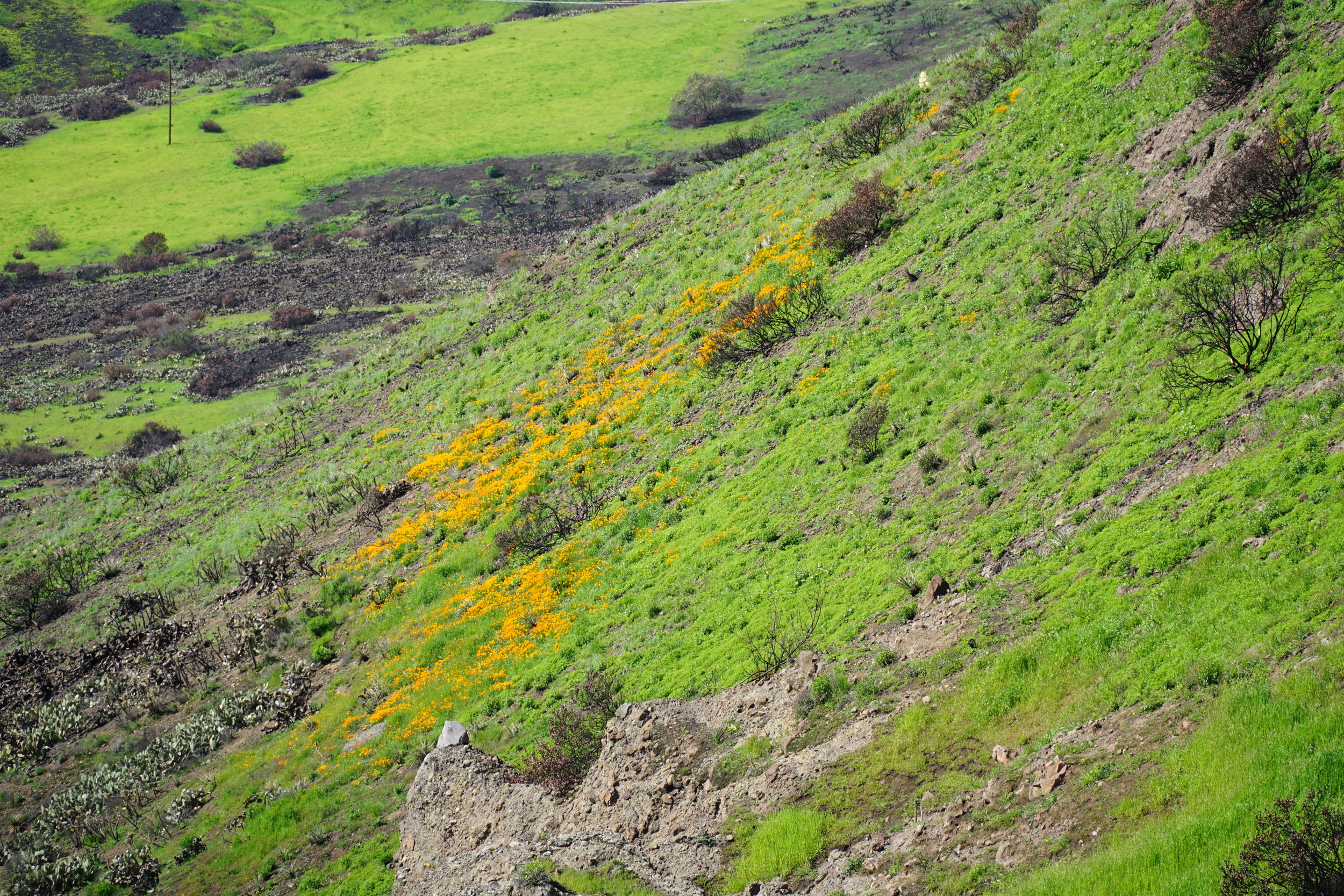
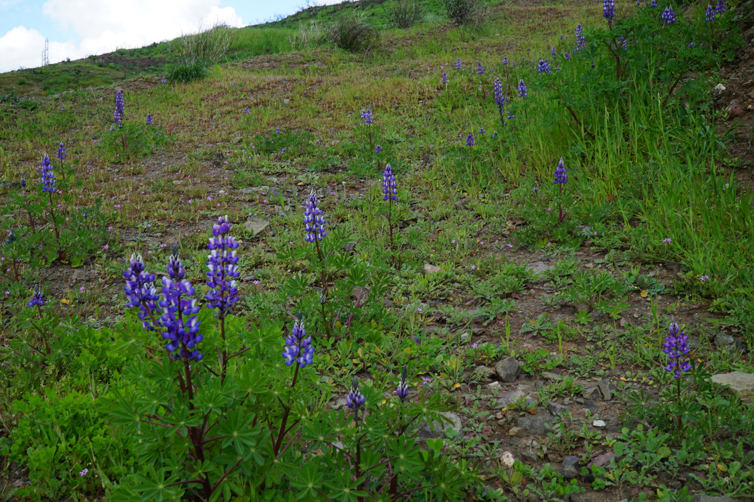
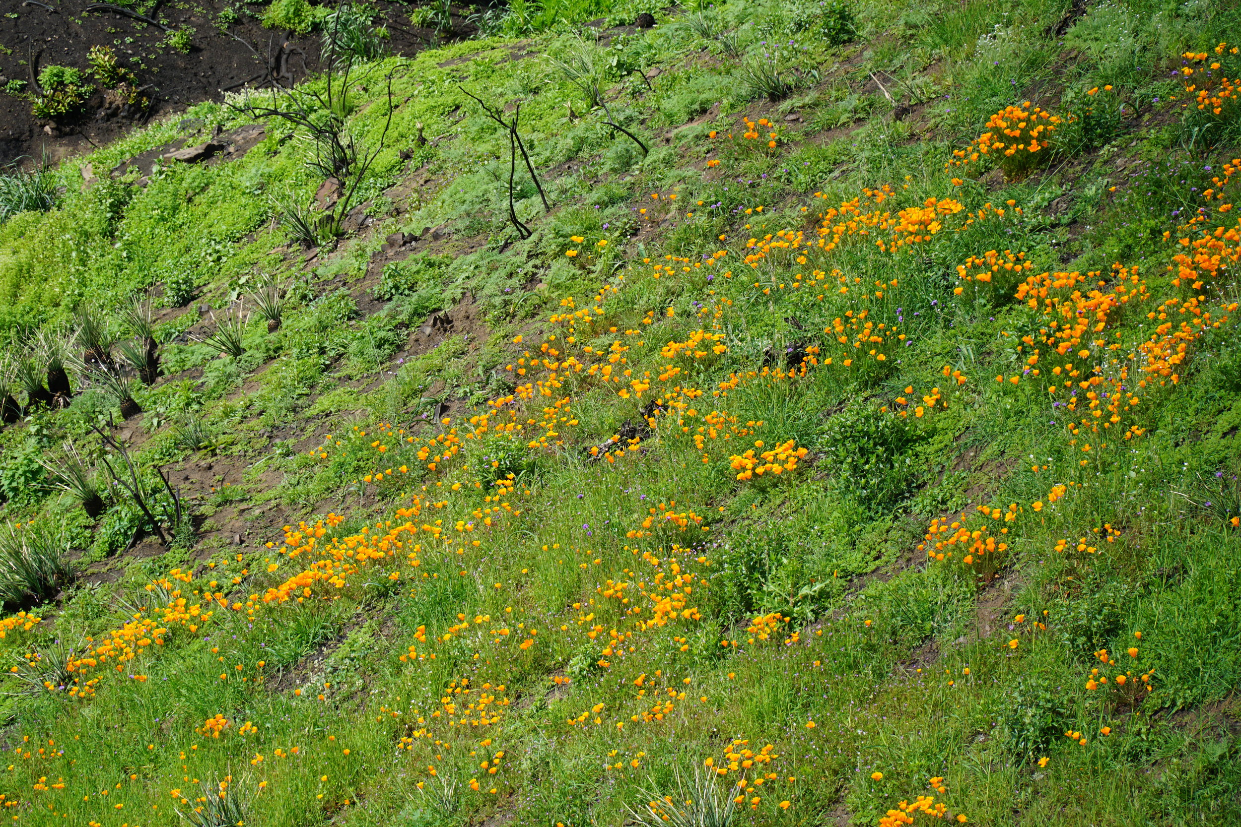
Annual Flower Display off the Westlake Vista Trail at Triunfo Creek Park

Westlake Vista Flowers 3.13.19.JPG

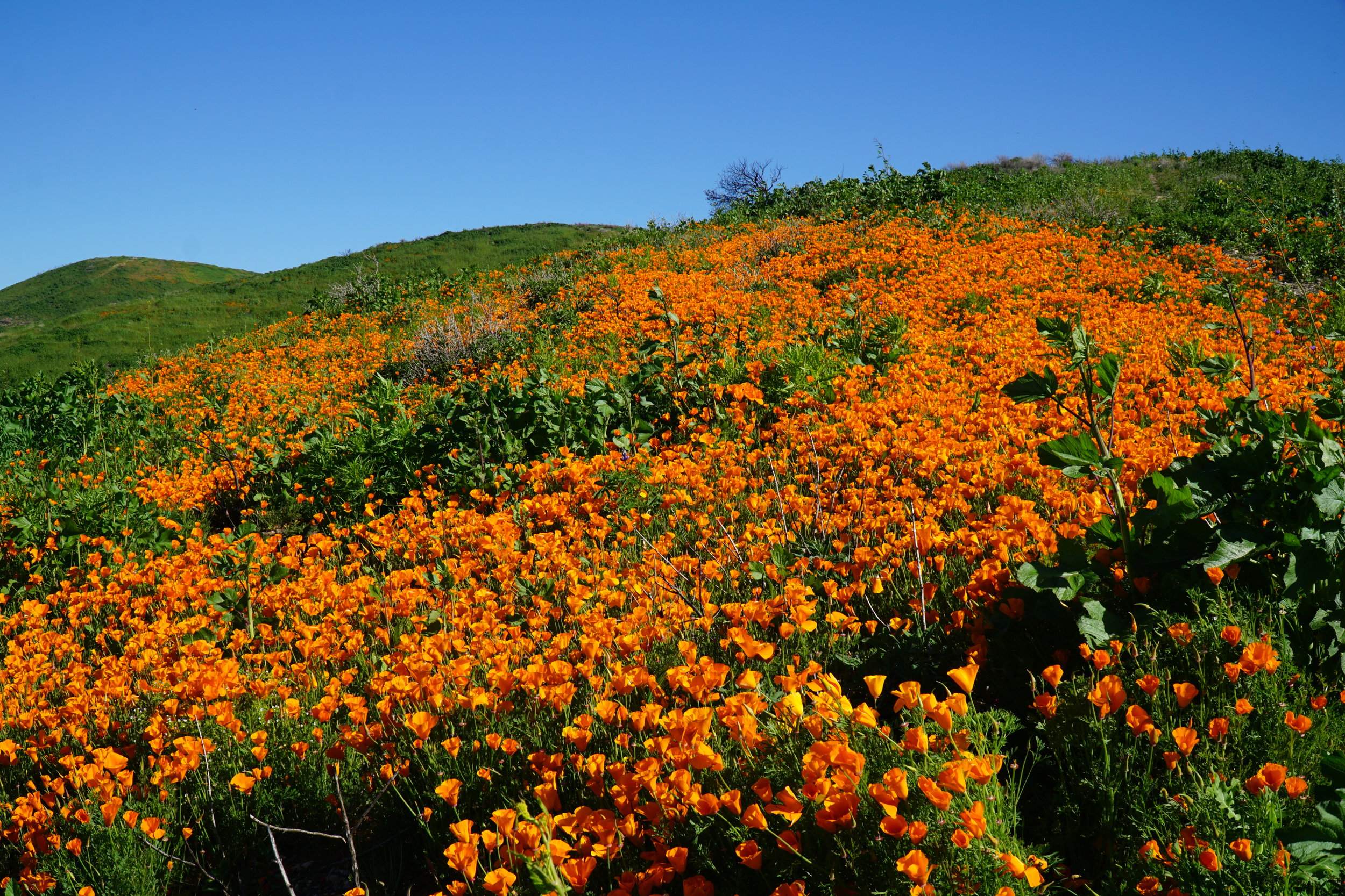
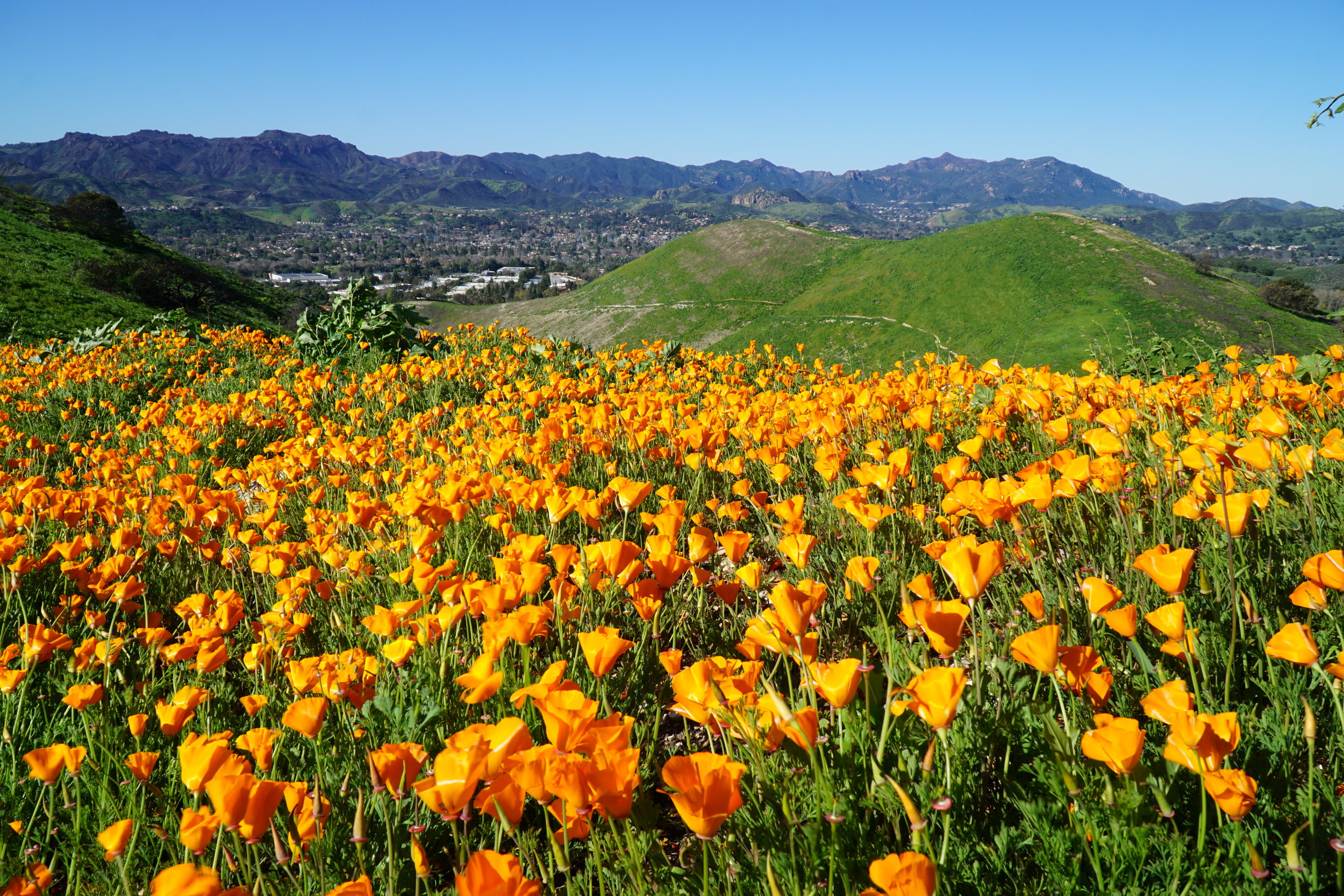
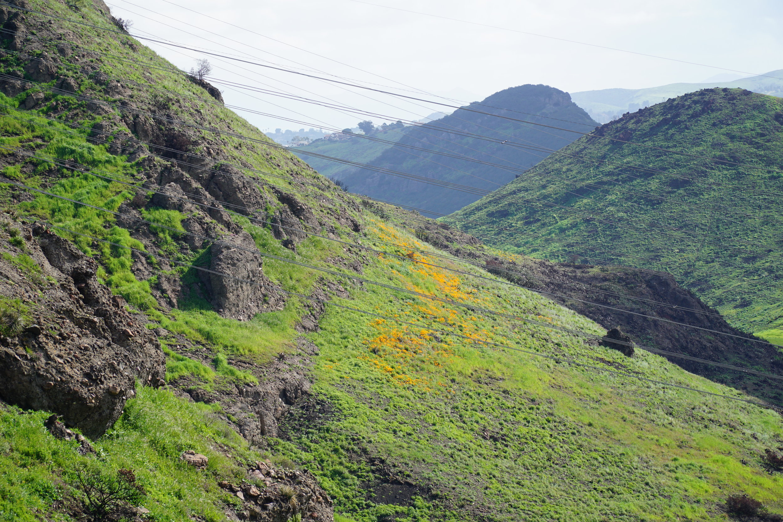
Triunfo Creek Park was hit hard by the Woolsey Fire in November 2018. After several months of solid rains in February and March, color is making a reappearance at the park.

I was trying to identify specifically what these tiny little flowers are and I think Chris Rowell of Newbury Park correctly nailed it down to California Goldfields (Lasthenia californica). These ones are seen adjacent to the fence on the west side of the park that lies adjacent to the Las Virgenes Reservoir.

If you do visit, like with other wildflowers, please do your best to enjoy them without trampling on them. That way we can all enjoy them each year! :)

Westlake Vista Flowers 3.13.19 2.JPG

The Stagecoach Trail at Wildwood Park also has a patch of these pretty yellow flowers.

Stagecoach Trail WW Park 3.23.19.JPG

Beautiful Poppy Display on the East End of Corriganville Park in Simi Valley

Corr Poppies 2019 1.JPG

Corriganville Park on the east end of Simi Valley suffered extensive damages in the Woolsey Fire of November 2018 and was closed for a couple months before reopening in mid-January. It is now mid-March, and while portions of the burnt area are clearly evident, there is a very special orange poppy display on the east hill of the park that is attracting many local residents.

In my visit on Saturday, March 16th, I encountered smiles on everyone’s faces. With the sights and sounds of the 118 up in the distance, these beautiful poppies brought a sense of community and joy to those present.

Corriganville Park is located at 7001 Smith Road in Simi Valley. From Thousand Oaks, take the 23 north to the 118 east. Take the Kuehner offramp and turn right to Smith Road and Corriganville Park.

The park is named after Ray “Crash” Corrigan, a stuntman/actor who owned the park from 1937 to 1965, when over 3,500 movies, TV shows and commercials were filmed there. In 1949, the Corrigan Movie Ranch opened as a Western-style amusement park with a train ride and stagecoach ride; in fact, in the late 1950s the Ranch had greater weekend attendance than Disneyland and Knott's Berry Farm!

Corr Poppies 2019 2.JPG
Corr Poppies 2019 3.JPG

Annual Poppy Display in the North Ranch Open Space, Thousand Oaks, on March 16, 2019

Poppies NROS 3.16.19 2.JPG

Superbloom or no superbloom, this beautiful poppy patch off the Bowfield/Saddle Pass Trail in the North Ranch Open Space in Thousand Oaks has been blooming this time of year for years. The hills to get up here are not for everyone e.g. they are steep - but to me are worth it for this view orange beauty.

Annual Coreopsis Display at Point Dume Natural Preserve in Malibu in Full Bloom

Point Dume 3.15.19 1.JPG

The Coreopsis are in full bloom at Point Dume Natural Preserve and are worth going out of your way for. Sweetening the deal this week was the migration of Painted Lady butterflies, stopping for a snack.

Every year, March is the time to visit Point Dume to enjoy the peak blooming of the flowers, combined with beautiful blue skies and ocean, seals, dolphins, on occasional whale and other scenes. You’re really missing out if you’ve never visited this fantastic local destination.

To get to Point Dume State Beach, take Westward Beach Road southeast from PCH near Zuma Beach's south side to the paid parking area (or park on Westward Beach Road and walk the length of the parking lot, about half a mile, to the trailhead)

Point Dume Natural Preserve is protected land, so do stay on marked paths and enjoy your surrounds with your eyes only. The stairs/steps from the parking lot at Point Dume State Beach are a bit uneven and worn down, so do be careful with the little ones.

There’s a platform with seating on the southernmost side of the bluff where you can enjoy viewing the sea life.

The trailhead at the end of the parking lot at Point Dume State Beach

The trailhead at the end of the parking lot at Point Dume State Beach

View from the top towards east side of Point Dume Cove

View from the top towards east side of Point Dume Cove

The view west towards Zuma Beach from the top of the bluff.

The view west towards Zuma Beach from the top of the bluff.

Painted Ladies getting in on the Coreopsis action.

Painted Ladies getting in on the Coreopsis action.

On the Hunt For Wildflowers in the Conejo Canyons Open Space in Thousand Oaks

Conejo Canyons 3.9.19.JPG

As of today, March 9, 2019, rain totals in Thousand Oaks for the 2018-2019 rain season stand at 14.64 inches. This is 22.7% higher than “normal” rainfall to date, driven largely by 6.2 inches of rain in the month of February. Rainfall in October through December 2018 was only half of normal rainfall totals for that time frame. (1)

With all that recent rain soaked into the ground, we’ll be on the lookout for wildflowers in the local mountains. The Conejo Canyons Open Space, also referred to as the Western Plateau, represents 1,430 acres of open space and trails in the northwest portion of Thousand Oaks.

To get to the area from Newbury Park, the trailhead to the Western Plateau Trail is located on Conejo Center Drive, to the left of the City of Thousand Oaks Hazardous Waste Facility south of Rancho Conejo Boulevard.

Conejo Canyons 3.9.19 2.JPG

There’s plenty of parking in a dirt lot at the trailhead. This first mile to mile and a half is hilly and generally not the most interesting part of the trail, but during this Ireland-like green time frame, its not so bad. About .6 mile down is, or for the time being I should say was, the turnoff for the Hawk Canyon Trail - the trail was closed due to the Woolsey Fire and now is overrun by water. But at some point I’m sure the trail will be back.

The Hawk Canyon Trail marks the low point of the initial section of the hike, and it is uphill another .7 mile to the main Conejo Canyons area. Here, you can either turn off to the right to walk through the upper canyon or continue west towards an overlook with views towards the Conejo Grade, Oxnard Plain and Channel Islands.

Conejo Canyons Lupine.JPG

You can also take the fire road up, and up, and up, another mile or so , to a peak where you’ll find the entry sign to the Lichen Trail. From here, you can continue down the other direction down the Lichen Trail or head back the way you came.

These trails can also usually be accessed from the Santa Rosa Road/Hill Canyon area via the Conejo Canyons Bridge - but the bridge was severely damaged in the Woolsey Fire and needs to be repaired. More details and maps on the Conejo Open Space Foundation website at cosf.org/trails/conejo-canyons.

(1) Ventura County Watershed Protection District

Hiking in the Upper Las Virgenes Canyon Open Space Preserve in Calabasas

Trailhead at northern end of Las Virgenes Road in Calabasas

Trailhead at northern end of Las Virgenes Road in Calabasas

The Upper Las Virgenes Canyon Open Space is owned and maintained by the Mountains Recreation Conservation Authority. The 2,983 acres of open space was part of the Ahmanson Ranch in the Simi Hills of eastern Ventura County and western Los Angeles County, bordering the cities of Calabasas, Hidden Hills, West Hills, Bell Canyon, Simi Valley and Agoura Hills.  The land, purchased in 2003, is contiguous with the existing 2,650 acres of open space in the Upper Las Virgenes Canyon.

This is a vast space of rolling hills, native perennial grasslands, oak trees and woodlands. Two plant communities, Southern Coast Live Oaks Riparian Forest and Southern Willow Scrub, make up over 20 miles of riparian corridors in the park.

The Victory Trailhead at the eastern end of Victory Boulevard is the main entrance into the Preserve, with a large gravel parking lot (there is a fee).

The Victory Trailhead at the eastern end of Victory Boulevard is the main entrance into the Preserve, with a large gravel parking lot (there is a fee).

There are two main trailheads into the area. The Las Virgenes Canyon Road Trailhead is accessed at the northern terminus of Las Virgenes Road. Offstreet parking is available here; there is no official parking lot or facilities. The Victory Trailhead is the main trailhead for the preserve, located at the western terminus of Victory Boulevard in West Hills. There is a large gravel parking lot at the Victory Trailhead, where parking (as of February 2019) is $3.

Excerpt of map posted at the Victory Trailhead

Excerpt of map posted at the Victory Trailhead

If you are looking for a hike of roughly 4 to 5 miles round trip, take the East Las Virgenes Canyon Trail that links the Las Virgenes Road and Victory trailheads. To explore more within the Preserve, check out the Lasky Mesa area southwest of the Victory Trailhead via the Mary Weisbrock Loop Trail. Or from the Las Virgenes Road trailhead, instead of heading east, continue north, where you can veer off into to the adjacent Cheeseboro Canyon area or find a loop that connects you back to the main trail. (See map for details.)

Peaceful and serene back here, albeit a bit dry.

Peaceful and serene back here, albeit a bit dry.

While it can be quite dry during much of the year - particularly during times of drought - it sure greens up nicely after the winter rains (shown here in February 2019).

While it can be quite dry during much of the year - particularly during times of drought - it sure greens up nicely after the winter rains (shown here in February 2019).

From a historical perspective, the Preserve was part of the 113,000 acre Rancho San Jose de Gracias de Simi tract granted to Javier, Miguel and Particio Pico by the King of Spain in 1795, later transferred to Jose de la Guerra y Noriega and sold in the late 1800s to Thomas R. Bard. Bard divided the Rancho into tracts to build homes.

The property was later owned by a William Randolph Hearst company, which unsuccessfully drilled for oil in the 1930s and later sold it to George E. Barrett, Jr. Barrett built a ranch here in the late 1930s. R. E. Crummer bought the property in 1949. H. F. Ahmanson Company bought the land in 1963 and failed in the 1960s in its attempt to develop the land.

In 1986, Ahmanson initiated a new attempt at a master-planned community centered atop Lasky Mesa and stretching across the surrounding hills and valleys. The Ventura County Board of Supervisors approved the project in 1992, but there were numerous opponents that ultimately led to the sale of the property to the Santa Monica Mountains Conservancy tin 2003. The public parkland was dedicated on April 10, 2004.

More information at mrca.ca.gov/parks/park-listing/upper-las-virgenes-canyon-open-space-preserve-formerly-ahmanson-ranch.

Another shot after lots of rain in February 2019.

Another shot after lots of rain in February 2019.

Twelve Interesting Clubs in Ventura County That You May Not Be Aware Of

If you've clicked through this site you already know there are thousands of things to see and do throughout Ventura County, including over 100 local area clubs and organizations, service organizations, moms' clubs and charities of all types. Let's take a look at a dozen of local clubs that you may not have been aware of.

The Hawaii Club of Ventura County is comprised of members from Hawaii and people who want to perpetuate the spirit and culture of the Hawaiian Islands. The groups meets regularly. The next best thing to a trip to Hawaii.

Founded in 1992, the Camarillo White Horse Association records and maintains the lineage of the historic breed of famous Camarillo White Horses dating back to those bred and developed by Adolfo Camarillo.

Conejo Quiet Flyers is a club founded in 2008 for pilots of electric remote-controlled aircraft to get together and enjoy flying in the Thousand Oaks area.

The Conejo Valley Bonsai Society meets the 3rd Thursday of each month at Westlake Village City Hall. This is the only bonsai society in Ventura County.

The Marine Aquarium Society of Ventura County is a group of local reef hobbyists and enthusiasts who are dedicated to the support of reef keeping in the Ventura County area.

Stitch 'n Bitch Ventura County is for those who like to knit or crochet and live in Ventura County and nearby areas. Meetings in Thousand Oaks and Simi Valley.

The Ventura County Chess Club meets Tuesdays in Ventura and is open to all skill levels. Check it out, mate!

The Indian Friends Association is a non-profit organization of Indian Americans and others dedicated to fostering grassroots development in India. Is based in Ventura County.

The Ventura County Writers Club was founded in 1933 by four writers in the Ojai area. Since then the club has grown to more than 150 members, meets regularly and hosts annual contests.

The Ventura County Go Club provides a place for people to learn, play, or just watch the game of Go. Meetings in Camarillo are FREE and open to the public.

The National Association of Watch & Clock Collectors has a Ventura County chapter that meets monthly at Ventura College.

The Ventura County Comets Radio Control Flying Club has been around since 1965. All members must also be members of the Academy of Model Aeronautics.