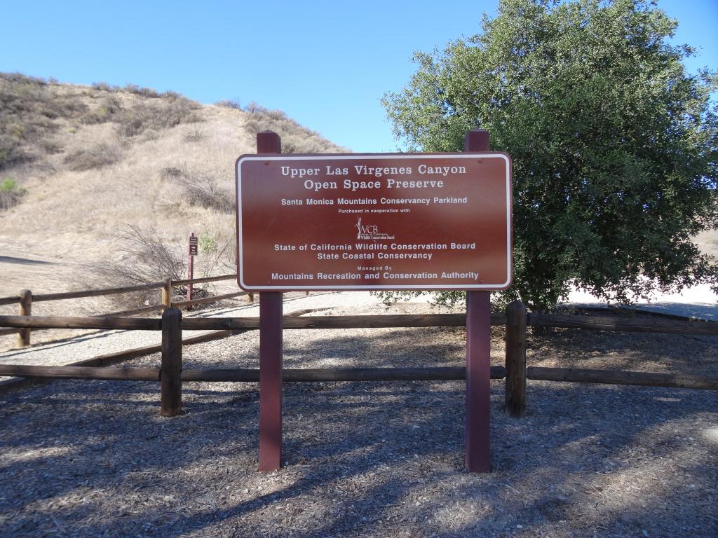
Las Flores Creek Park in Malibu
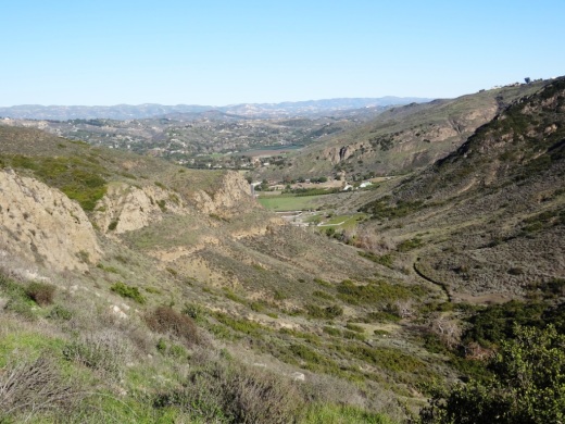
Las Flores Creek Park at 3805 Las Flores Canyon Road in Malibu is a neighborhood pocket park with on-site parking, picnic tables, restrooms, a small playground, benches, a pedestrian bridge, and over one-third of a mile of walking trails. The park also has over 45 varieties of native plant species and interpretive signage throughout the park with information about the plants, riparian habitat, the creek stabilization project, and the history of the area. More at www.malibucity.org.

Zev Yaroslavsky Las Virgenes Highlands Park in Calabasas

The Zev Yaroslavsky Las Virgenes Highlands Park is located on Las Virgenes Road, just south of Mureau Road and north of Highway 101 in Calabasas. Acquired in 2010, this area includes nearly 200 acres of open space providing a gateway to the Santa Monica Mountains and a welcome site to drivers navigating bottom of the Calabasas Grade on Highway 101.  Stop by sometime and take a hike up the moderately steep path through grasslands and oak trees to catch panoramic views of the surrounding areas. Learn more at THIS LINK.

Conejo Mountain Edison Road Trail in Newbury Park

The Conejo Mountain Edison Road Trail (also referred to as the Powerline Trail) in Newbury Park runs adjacent to the Dos Vientos community (trailhead on Via Ricardo gets you to it) and takes you up about 1,000 feet in a few miles of hiking/running.

PowerlineTrail_sign.JPG

You'll be treated to beautiful views of the entire valley stretching towards Boney Mountain in the distance, then off towards Camarillo and the Oxnard Plain. In the video below, I ran to the top of the mountain; you can also run down the other side, all the way down to Old Conejo Road...but there's a locked gate there. However, the Ventura County Trails website provides some alternative routes that may come in handy at www.venturacountytrails.org/TrailMaps/DosVientos/AreaTrails.htm

That said, you don't have to go very far on this trail for great views of the Oxnard Plain.

The Powerline Trail trailhead is on Via Ricardo in Newbury Park, just west of Via Pisa. You can extend the hike by half a mile (each way) by parking at Dos Vientos Community Park and taking the Park View Trail to Via Ricardo, where you will cross the street (there's a crosswalk) to the Powerline/Edison Trail.

The Conejo Open Space Foundation has a simple map of the trail and additional comments at www.cosf.org/website/html/conejo-mountain.html

Edison1.JPG
Edison2.JPG
This shot was taken in late January 2015, when it was actually green up there!

This shot was taken in late January 2015, when it was actually green up there!

Edison3.JPG
Edison4.JPG
PowerlineTrail1.31.15_2.JPG

Serrano Canyon Hike in Pt Mugu State Park

SerranoCanyon1.JPG

Serrano Canyon is quite an attractive destination in Point Mugu State Park in the Santa Monica Mountains.  It is quickest to get to Serrano Canyon from Malibu but trekkers, runners and cyclists certainly can make their way from the Newbury Park side at Satwiwa/Rancho Sierra Vista.

SycamoreCanyonHill.JPG

To get down to Serrano Canyon from the Conejo Valley side, you must meander your way down the steep Sycamore Canyon Fire Road seen above. Have fun and don't think about the challenge of making your way back up this hill later in the day, when the sun is beating down on you!

Sycamore_OldBarn3.JPG

Continue on down Sycamore Canyon Road, pass through the Danielson Multi-Use area, the National Park Service house and the old barn-like structure seen above. You can actually get to Serrano via the Blue Canyon Trail entrance point just east of the Danielson Multi-Use area.

You might catch a deer or two, or three eating breakfast near the trail.

You might catch a deer or two, or three eating breakfast near the trail.

Onward down Sycamore Canyon, one is this porta-a-john, situated in a serene setting next to several picnic benches under a beautiful tree on the right.

Onward down Sycamore Canyon, one is this porta-a-john, situated in a serene setting next to several picnic benches under a beautiful tree on the right.

Sign signaling the transition into Serrano Valley

Sign signaling the transition into Serrano Valley

A little farther down is the Serrano Canyon Trail trailhead. Two or three miles into this trail and you'll be in Serrano Canyon. Warning...this trail has had some fairly well overgrown sections in my times in there, so definitely be aware and consider long pants. I ran through there and survived in shorts but the poison oak on the sides of the trail were nervewracking enough to make me consider turning back.

SerranaValleyTrailSign.JPG
SerranoCanyon2.JPG
SerranoCanyon6.JPG

There are several pieces of old farm equipment in the canyon. Makes you wonder about the history...There are several ways out of Serrano Canyon but my choice was to follow a trail that loops back around to Sycamore Canyon again, about a mile or so north of the entry point and south of the Danielson Multi-Use area. 

Griffith Observatory in Los Angeles

The Griffith Observatory opened to the public in 1935 and is a Los Angeles icon. After 67 years of operation, it was closed for renovation in 2002 and reopened in Fall 2006. The original art deco 27,000 sq ft building built during the Great Depression was expanded by an additional 40,000 sq ft of public space. 

GriffithObservatory.jpg

The Observatory is located on the southern slope of Mount Hollywood, 1,134 feet above sea level, with expansive views of the surrounding city, mountains and Hollywood sign. Other than the spectacular views outside, the inside of the Observatory features the 300 seat Samuel Oschlin Planetarium, 200 seat Leonard Nimoy Event Horizon, public telescopes, dozens of exhibits and a cafe/gift shop.

HollywoodSign.jpg

Parking and entrance into the Observatory are FREE! Even if you're not into astronomy, you'll love the scenic views up there. It is located at 2800 East Observatory Road, Los Angeles. More information at www.griffithobservatory.org or call 213.473.0800.

The Observatory is owned and staffed by the City of Los Angeles Dept of Recreation and Parks. As of May 2015, hours are noon to 10pm Tuesday to Friday and 10am to 10pm Saturday/Sunday. Closed Mondays. Free public telescopes are available each evening the Observatory is open and skies are clear.

Ventura County Trails Website

For maps, descriptions, photos, videos and news about local Ventura County trails, check out www.VenturaCountyTrails.org.

If you are looking for extremely detailed information, like trailhead locations, trail distances, ascents and descents, this is the site for you.  A great resource for local hikers, bikers and runners.

FOR DETAILS ON LOCAL HIKES HERE ON CONEJO VALLEY GUIDE, CLICK HERE

ConejoCanyons.JPG

Trails in the Conejo Open Space

The Conejo Open Space Foundation was formed in 1995 to promote and maintain the open space and trail system of the Conejo Valley and to educate residents as to their roles as custodians and protectors of the open space and the environment. COSF is a non-profit organization that is supported by donations.

The COSF website has detailed information about Conejo Valley trails, maps and educational information.

A particularly useful section of the site details a number of local trails in Wildwood Park, Los Robles, Lang Ranch/Woodridge, Dos Vientos and other local trail systems.

Visit www.cosf.org to learn more.