The Punch Bowls in Santa Paula
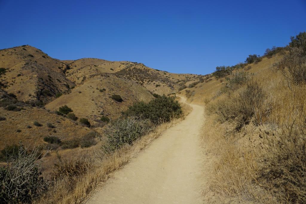
/The Santa Paula Canyon Trail takes you to the "The Punch Bowls" in the Los Padres National Forest. This is a fairly challenging hike that is definitely not for everyone. But for many, it is quite an interesting, roughly 7 mile round trip exploration. Plan on at least a 4 to 6 hour excursion.
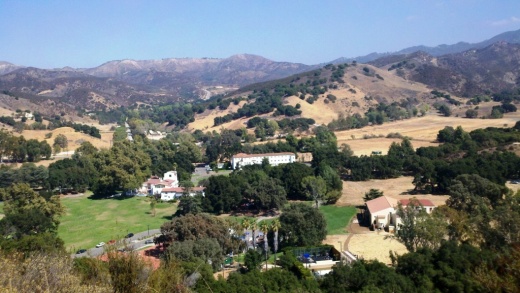
The trail begins in the hills behind Thomas Aquinas College at 10000 Ojai Road, Santa Paula. This is a private college and thus the public is not allowed access to parking on the campus. There is a small amount of street parking and several dirt lots nearby. Make sure though not to leave any valuables in your car.

Access to the trail takes a bit of a walk on the paved road that swings to the right of the college. There are signs that point the way to the trailhead and that asks hikers to stay on the paved roadway.

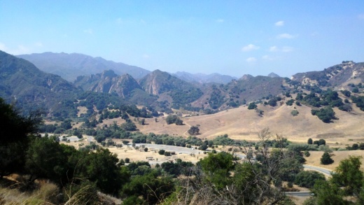
The winding road to the trailhead
You will be entering private property (continue following the signs), so be mindful of that as you veer left, then past an oil rig through an avocado farm. You will be walking past a large red gate, then continue on, until you reach another oil pumping rig. Go left along the path around the rig to the trailhead, where you will be greeted by the sounds of the Santa Paula Creek.
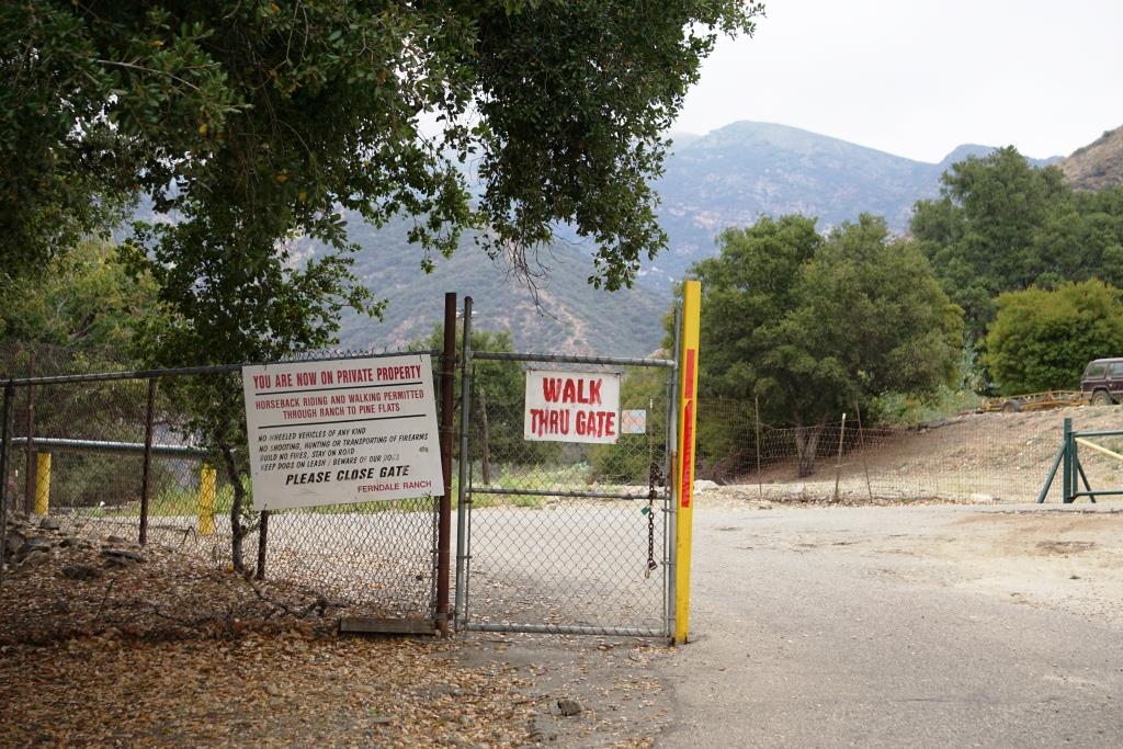
You will be veering left after walking through this gate, into private property. You will be walking past an oil pump then into an avocado orchard, then past another oil rig (veer left) to the trailhead.
Cross the creek (there are strategically placed stones) and you are on your way.

Veer right around this., which would seem obvious but to me it wasn't.
From here, there are no signs that clearly say "trail this way." Perhaps the main thing to keep in mind is that for the most part, you will be following the creek to the area known as the Punch Bowls. But the exact path is not always clear, especially when you are like me and have a tendency of picking the wrong path at each fork.
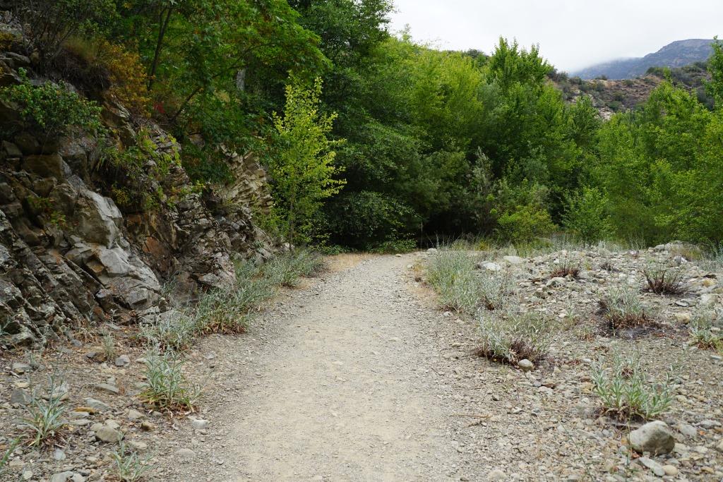
Some sections of the trail are perfectly flat and scenic. Most of the trail you will hear the Santa Paula Creek.
But one thing we generally found is that someone has sprayed orange arrows in the direction you need to go. That said, it is still not always clear. Unfortunately, there is graffiti and markings of various sorts much of the way up the trail. In fact this is probably the worst example of defacing of a public trail that I've ever seen. I will not post the images here.

In any case, we didn't let the graffiti bother us too much as the trails were so beautiful, interesting and challenging. In fact, aside from hiking up Boney Mountain, this is probably the most challenging trail I've tried in the local area. There are some "perfectly flat" sections but many sections of the trail are quite rocky, narrow, lined with poison oak and challenging.
Also, be prepared to cross the creek in various sections. It wasn't always clear if we should be on the left or right side of the creek. Make sure to wear good hiking shoes as you will be making some creek crossings, which can be slippery.
I don't usually hike with a walking stick, but it definitely came in handy on this trail. The higher up we got, the rockier and more "bouldery" the trail became.

The boulders get larger and there are more areas with loose rocks the higher you get up the trail. I don't usually use a walking stick, but it definitely came in handy for this hike.
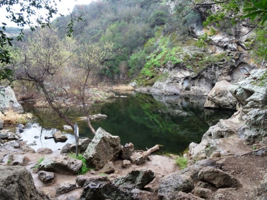
In any case, after some crazy sections of rocks that, when we went (mid-June 2016), included sections of significant piles of rocks (including some fairly recent looking rock slide areas), you will reach the first of the Punch Bowls. This was our final destination, but there are additional pools of water higher up, on trails that appear increasingly challenging.

This punch bowl was our final destination before heading back down. Beautiful to see, though the water was not particularly deep (blame it on the drought) or clean looking. But quite a great destination to hike to nonetheless and enjoyable to relax and take it in.
I took 4th and 7th graders with me and they did fine. It was a lot of fun. Definitely not stroller friendly. Dogs are ok on leash, though I wouldn't bring my dog due to the proliferation of rocks.
Learn more about the Santa Paula Canyon Trail at www.hikelospadres.com/santa-paula-canyon-trail.html.