Simi Valley Town Center

SimiTC_Sign.JPG

The Simi Valley Town Center is a 600,000 sq ft open-air shopping, dining and entertainment center in the heart of Simi Valley, off the 118 freeway between First Street and Erringer Road at 1555 Simi Town Center Way.  This mall opened in fall 2005. 

Eateries at the Town Center as of March 2025 include Corner Bakery, California Pizza Kitchen, Larsen's Steakhouse, Red Robin, Buffalo Wild Wings, Go Fish Sushi, Huarache Express, Baby Cakes Dessert Shop, Bree’s Cakes, Starbucks, Rambo’s Hot Chicken, Zozo Bakery, and Meera Coffee & Desserts

Macy's anchors the west end of the mall (the east end, also previously a Macy’s is still vacant after many years as of March 2025).

The 41,211 sq ft Studio Movie Grill opened at the Town Center on October 22, 2015, with nine screens and over 950 seats. It is a beautiful theater, offering stadium seating and fixed lounge seats with individual dining tables and service.

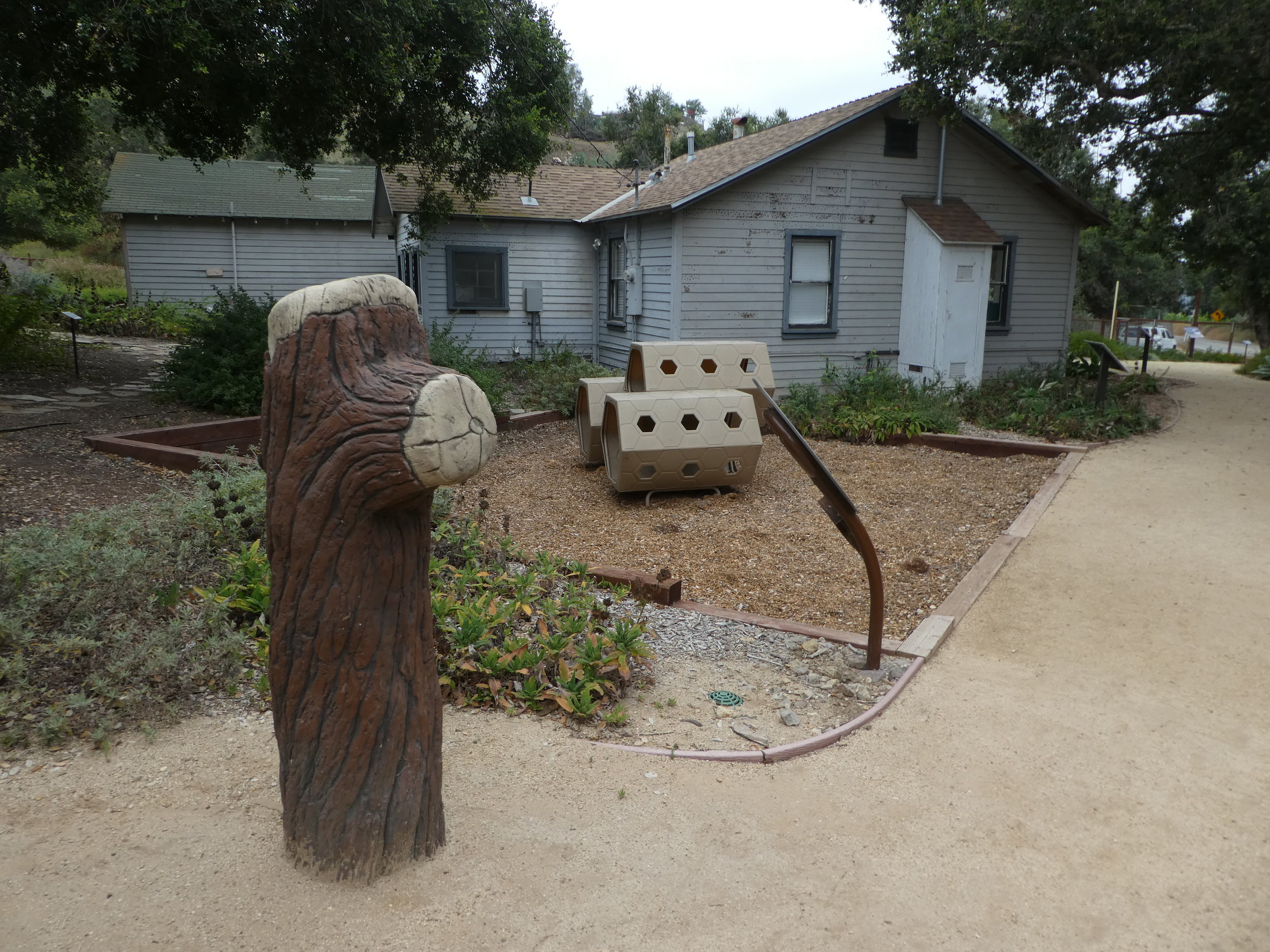
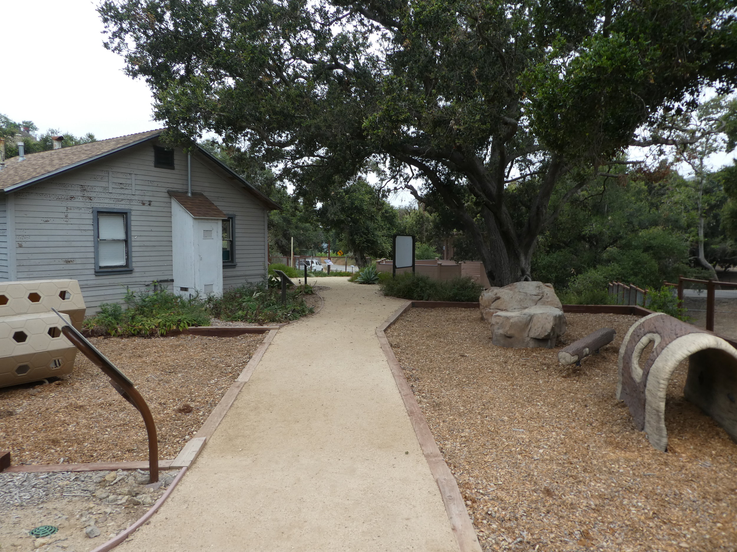
This is also a nice mall for the kids, as there is plenty of room to run around and explore in the open air setting.  There is a kids play area, oak trees, mosaic dragon, outdoor fireplace, koi pond and gardens to explore. 

Lots of shops geared towards the kids, including Black Belt USA Tae Kwon Do, Gotta Dance Academy, Inspire Dance Studio, Color Café Pottery Painting Studio, Kid Gloves Boxing, Rockin’ Kids Play Center, Maker Studio and the Skateboarding Hall of Fame Museum.

Other shops include the Five Below discount store that opened on October 12, 2018, Marshalls, Tilly’s, Lewis Galleries, ULTA Beauty, Brighton Collectibles, Vans, and more.

There’s also the Museum of Military History Posters and Memorabilia. Quite an impressive array of military posters and artifacts on hand.

Visit www.shopsimivalleytowncenter.com for more information.

Small outdoor kids' play area (geared towards little ones)

Small outdoor kids' play area (geared towards little ones)

Previously at the Simi Valley Town Center:

A lot of businesses have come and gone from the Simi Valley Town Center in years past. Here are some of them.

Apple Store (9/15/17), Urban Home, Limon Latin Grill, Souplantation (9/25/16), Anthopologie, Brookstone, Chico’s, Coldwater Creek, Eddie Bauer, Forever 21, Gamestop, Haagen-Dazs, Gymboree Play & Music, Hot Dog on a Stick, Hot Topic, J. Stephens, Jos. A Bank, Lane Bryant, Lucky Brand Jeans, Nine West, The Body Shop, Things RememberedUrban Outfitters, White House Black Market, Z Gallerie, Zales and Zumies, among others.

Dog Parks In and Around Ventura County

Here's a compilation of parks in and around Ventura County as well as adjacent areas that have off-leash opportunities for your pooches. The days and times indicated below are subject to change; links to the local recreation and park districts are provided.

Thousand Oaks

Conejo Creek Dog Park at 1350 E. Avenida de las Flores is a 3 1/2 acre dog park with separate sections for large and small (30 lbs or less) dogs. Open daily 7 am to 10 pm; closed Thursdays 7-9 am and all day the 3rd Thursday of each month. www.crpd.org/parks-reservations/dog-parks.

ConejoCreekDogPark.JPG

Additionally, Conejo Recreation and Park District opened three smaller off-leash area dog parks in 2015 at Estella Park, 300 Erbes Road, Thousand Oaks, Kimber Park, 3295 Bear Creek Road, Newbury Park and Walnut Grove Park, 400 Windtree Avenue, Thousand Oaks. These areas do not have grass. More details at www.crpd.org/parks-reservations/dog-parks.

Westlake Village

The 1.2 acre Westlake Village Dog Park opened to the public on July 21, 2018. The park features small and large dog areas, shade shelter with seating, pet wash stations and more. Located at the southwest corner of West Oak Crest Drive and Agoura Road. On street parking available. More info at www.wlv.org/420/Westlake-Village-Dog-Park.

Camarillo

The Friends of Camarillo Dog Parks is a volunteer organization that looks out for the needs of pooches and their owners in the Camarillo area. Learn more at www.camarillodogparks.com. They work with the Pleasant Valley Recreation and Park District to support dog parks in the city, which include:

Mission Oaks Park at 5501 Mission Oaks Boulevard has a designated off-leash area open the following time frames: Monday - Friday: 4pm-Dusk; Saturday - Sunday: Dawn-Dusk. Learn more at www.pvrpd.org/mission-oaks-park-50cb34c.

DogParkCam.jpg

Camarillo Grove Park at 6968 E. Camarillo Springs Road has a dedicated dog park that is open daily from 7am to dusk. The entire park is also an off-leash park Mon-Fri. On Sat/Sun, dogs are allowed off-leash only in the enclosed dog park area. You must pay to park here; $3/day weekdays, $5/day weekends and $55 for an annual permit. www.pvrpd.org/camarillo-grove-park.

The Springville Dog Park opened in September 2012 at 801 Via Zamora, Camarillo. Open 7 am to dusk daily; closed Fri mornings until 10:00 am for lawn maintenance. www.pvrpd.org/springville-dog-park.

The Freedom Dog Park at 275 E. Pleasant Valley Road, Camarillo opened in October 2023. This park features lights for night visits. www.pvrpd.org/freedom-dog-park-c1fe3e4

Simi Valley

The Simi Dog Park at 2151 Lost Canyons Drive is open daily from 7 am to dusk and is closed for maintenance on Thursdays from 7 am to 10 am. There's a separate area for large and small dogs. To get to the dog park, enter through Big Sky Park. www.rsrpd.org/business_detail_T9_R44.php

Oak Park

The Oak Canyon Dog Park is located towards the top of Oak Canyon Community Park, 5600 Hollytree Drive. Open 7 am to dusk daily; closed 7 am to 10 am Fridays for maintenance. There are areas for large and small dogs. www.rsrpd.org/business_detail_T9_R31.php

A view from above of the nicely appointed Oak Canyon Dog Park in Oak Park.

A view from above of the nicely appointed Oak Canyon Dog Park in Oak Park.

Ojai

The County of Ventura maintains the Mitchell Edelson Dog Park at Soule Park, 1301 Soule Park Road, Ojai. Open at 7:30 am daily and closes at 5 pm Nov-Feb, 6 pm Mar and Oct, 7:30 pm Apr, May, Sep and 8 pm Jun-Aug. Parking is $2 per vehicle on weekday; $4 on weekends/holidays. There are areas for larger dogs and dogs under 20 lbs. www.ventura.org/parks-department/mitchell-edelson-dog-park-at-soule-park

Oxnard

There is a designated dog park at College Park, 3250 South Rose Avenue, Oxnard. It is open 7 am to dusk daily. An additional dog park is at Campus Park at 5th and H Streets. Also open dawn to dusk daily. Lastly, Jax’s Windrow Dog Park is located in Windrow Park, 3052 North Ventura Road. www.oxnard.org/city-department/public-works/parks/parks-faq

Ventura

There is a non-gated off-leash dog park area at Arroyo Verde Park at the corner of Foothill and Day Roads in Ventura. It is available for off-leash use Tuesday through Sunday from 6 am to 9 am. 

There's a fenced in dog park at Camino Real Park at Dean Drive and Varsity Street in Ventura. Open every day from dawn to dusk.

More information at THIS LINK.

Calabasas

The Calabasas "Bark Park" is located at 4232 Las Virgenes Road. Park features areas for large and small dogs, doggie drinking fountain, pooper scoopers and waste bins and portable restroom. Open sunrise to 9 pm daily. Closed Thursdays from 7 am to 10 am for maintenance. www.cityofcalabasas.com/government/community-services-parks-recreation/parks-trails-and-facilities

Moorpark

The City of Moorpark Dog Park is located within College View Park, 15400 Campus Park Drive. The entrance to the dog park is located at the south endpoint of College View Avenue on the southeast corner of the park. It is about 3/4 acre in size, with separate areas for small and large dogs. Open 7am to 5pm daily (7pm during Daylight Saving Time). Closed for maintenance Wednesdays from 7am to noon. There are age restrictions: kids under 6 years old not allowed in the dog park. Ages 6 to 15 are permitted, with adult supervision. More details at www.moorparkca.gov/Facilities/Facility/Details/Dog-Park-7.

View of the Calabasas Bark Park from the Bark Park Trail.

View of the Calabasas Bark Park from the Bark Park Trail.

Moorpark College Art Gallery

MoorparkCollegeGallery.jpg

The Moorpark College Art Gallery is located in the Moorpark College Administration Building at 7075 Campus Road, Moorpark. The gallery is open Monday to Thursday from 8am to 6pm and Friday from 8am to noon.

Get there as follows: Take Collins Drive exit from the 118 north towards Moorpark College. Turn right at Campus Park Drive and park in Lot A. Parking is $2 (pay at machine). The Administration Building is located next to the President's Office.

Learn more about exhibit on display at the gallery at www.moorparkcollege.edu/departments/academic/art-department/art-gallery.

Camarillo Grove Park

CamarilloGroveParkKiosk.JPG

Camarillo Grove Park is located at the bottom of the Conejo Grade at 6968 E. Camarillo Springs Road (Camarillo Springs exit). This 24.5 acre park features the following an off-leash dog park, several miles of hiking trails, a newer playground area (installed in the Fall of 2019), and much more.

Also relatively new is the Outdoor Nature Center, which includes interpretive signage along a trail that provides information about local ecosystems, flora and fauna; an interactive water table; teaching deck for programs; nature-based play equipment such as boulders, logs, ant hill, and more; as well as native gardens with braille signs.

This park offers multiple options for hiking. The lower loop is an easier gently sloping trail with oak trees, sage, volcanic rock formations, and more. 

The dog park is open from 7 a.m. to dusk daily. The entire park is also an off-leash park Monday to Friday only.

The park opens from dawn to dusk daily. There are parking fees at this particular park to help pay for its upkeep. As of February 2025, these fees are $3 on weekdays, $5 on weekends and $10 for oversized vehicles (RVs, etc.) on weekends. Or buy an annual pass for $55.

Learn more at www.pvrpd.org/camarillo-grove-park.

CamGrovePark_trail.jpg

Santa Clara River Valley Railroad Historical Society's Railroad Visitor Center in Fillmore

SCRVRailroad_logo.gif

The Santa Clara River Valley Railroad Historical Society was established in 1993 to help preserve and restore the railroad corridor between Montalvo and Saugus. This corridor, known as the Southern Pacific Santa Paula Branch, is a unique and historical local community asset.

Stop by the Railroad Visitor Center, located at 455 Main Street, Fillmore, on Sundays between noon and 4 p.m. and check out historical artifacts, information and photographs, a large model train setup, gift shop, theater and more.

More information at www.scrvrhs.com or call 805.524.2254.

We stopped by the Sespe Creek Car Show at Fillmore & Western yesterday (4th of July) and while we were there walked into the Santa Clara River Valley Railroad Historical Society Railroad Visitor Center at 455 Main Street, Fillmore. We've been in here several times before with the model trains all running and the kids sit there mesmerized by them.

Meditation Mount in Ojai

Meditation Mount is a meditation center located on a 32 acre site at 10340 Reeves Road in Ojai that opened in 1970. The grounds include a winding path through the International Garden of Peace, which winds around the property with a view of the Ojai Valley.

Meditation Mount is offering visitations on a pre-registered basis with two-hour self-guided sessions for $12 per person as of January 2025. They also offer other events, including guided meditations, yoga, performances and more.

Visit meditationmount.org for more information and to register for a session.

Conejo Creek Bike Path in Thousand Oaks

Conejo Creek Bike Path (Courtesy City of Thousand Oaks)

Conejo Creek Bike Path (Courtesy City of Thousand Oaks)

The Conejo Creek Bike Path is a 1.2 mile path in Thousand Oaks that connects Gainsborough Road on the south to Conejo Creek Park South. From there, you can cross Janss Road to get to the Thousand Oaks Library, Conejo Creek Park North, and the Thousand Oaks Teen Center

This path opened to the public in Spring 2011, providing a nice, flat alternative to city streets as it goes under State Route 23.

The paved path on Paige Lane ends at Janss Road across the street from the Thousand Oaks Library, but you can take the crosswalk at Janss Road at the crosswalk and from there get to a wide, fairly flat horse trail that takes you up to Avenida De Los Flores.

The east end of Gainsborough Road has an access point to the Conejo Creek Bike Path

The east end of Gainsborough Road has an access point to the Conejo Creek Bike Path

Nice flat path adjacent to city streets and neighborhoods

Nice flat path adjacent to city streets and neighborhoods

The path takes you under the 23 Freeway

The path takes you under the 23 Freeway

The path ends at Janss Road, across from the Thousand Oaks Library Conejo Creek Park North.

The path ends at Janss Road, across from the Thousand Oaks Library Conejo Creek Park North.

The City of Thousand Oaks maintains approximately 80 miles of bikeways, including about 3 miles of bike paths, roughly 54 miles of bike lanes and another 20 miles or so of bike routes.

Mt. McCoy Trail in Simi Valley

The Mt. McCoy Trail is located on the west side of Simi Valley with a trailhead at the corner of Washburn Street and Los Amigos Avenue (off the west end of Royal Avenue).

The trailhead at the corner of Washburn St and Los Amigos Avenue

The trailhead at the corner of Washburn St and Los Amigos Avenue

The Mt. McCoy trail is distinctive as there is a large white cross at the top of the mountain, which is about a 600 or so foot climb. From the trailhead, go straight and then take the switchbacks up the mountain.

At this first juncture, keep going straight (south) to the switchbacks. Turn right and you'll be going straight up the steep hill, like we did the first time.

At this first juncture, keep going straight (south) to the switchbacks. Turn right and you'll be going straight up the steep hill, like we did the first time.

Actually, after just a few hundred feet from the Washburn/Los Amigos trailhead, you'll reach a juncture where you either go straight (which is correct) or take a trail to the right, which is much steeper, but a much more direct path to the top. We made the mistake of taking that path the first time and it got us right up to the cross, but it is pretty steep.

The trails here are all really nicely groomed, thanks to the Rancho Simi Trailblazers and RSRPD. There are dozens of "shortcuts" along the trail but try to stick to the main path. Taking the correct path, with its switchbacks and twists and turns, is a bit over a mile to the top of Mt. McCoy, where you will be treated to panoramic views of the entire Simi Valley and the other direction towards the Reagan Library.  In fact, there are paths from the top that take you in other directions, including  a fire road that intersects with Presidential Drive to the Reagan Library.

View of the cross from about halfway up

View of the cross from about halfway up

A couple benches at the top of the hill to take in the beautiful views

A couple benches at the top of the hill to take in the beautiful views

McCoyTrail_cross2.JPG

The Rancho Simi Recreation and Park District owns 200 acres surrounding Mt. McCoy and the Rancho Simi Trailblazers helped construct the nicely maintained trail. Learn more at www.rsrpd.org/business_detail_T9_R17.php/

McCoyTrail_topview.JPG
Looking down from the cross to the south, where the benches and trailhead are.

Looking down from the cross to the south, where the benches and trailhead are.

Lizard Rock Hike in Wildwood Park, Thousand Oaks

Lizard Rock is just over a mile from the main entrance to Wildwood Park at the west end of Avenida de los Arboles. Walk/run/hike the Mesa Trail towards Lizard Rock and you will be treated to beautiful views of the surrounding spaces where shows like Gunsmoke and The Rifleman were filmed.

The entrance area and dirt parking lot at the Wildwood Park main trailhead.

The entrance area and dirt parking lot at the Wildwood Park main trailhead.

LizardRockInDistance.JPG
Lizard Rock in the distance

Lizard Rock in the distance

View from on top of the lizard

View from on top of the lizard

Trail sign south of Lizard Rock indicating Lizard Rock Trail to Wildwood Canyon Trail

Trail sign south of Lizard Rock indicating Lizard Rock Trail to Wildwood Canyon Trail

You can make this hike a 4 1/2 mile loop past Paradise Falls and the Indian Creek Trail by reviewing the map on the Conejo Open Space Foundation website at cosf.org/trails/wildwood/wildwood-park-easy-hike-indian-creek.

Gardens of the World - Thousand Oaks

Gardens of the World at 2001 Thousand Oaks Boulevard is a 4 1/2 acre garden across from the Civic Arts Plaza in Thousand Oaks.  It is free and open to the public Tuesday through Saturday from 9 a.m. to 5 p.m. (last admittance is 4:30 p.m.)  Closed Sunday and Monday and most national holidays. Gardens of the World is a gift from the Hogan Family Foundation.

GOTW_front2.JPG

Gardens of the World is an oasis of beauty in the middle of Thousand Oaks. There is a large bandstand in the center of the Gardens that is a perfect venue for outdoor music.  And the array of plants, flowers, waterfalls (including a stunning fountain that looks out toward the Civic Arts Plaza) and a serene koi pond next to an authentic Japanese Pagoda.

GOTW_WaterFountain.JPG

There is a Japanese garden, a French garden and waterfall (shown above), a Mission Courtyard, an English perennial and rose garden and an Italian garden.  A beautiful place to visit and relax for a bit, right in the heart of Thousand Oaks.  Also a great place for a picnic lunch, with plenty of tables, benches and grassy areas. More information at www.gardensoftheworld.info or 805.557.1135.

I never promised you a rose garden...but here's a beautiful one to check out!

I never promised you a rose garden...but here's a beautiful one to check out!

Koi pond in the Japanese Garden

Koi pond in the Japanese Garden

Shaded picnic area

Shaded picnic area

Since 2003, Gardens of the World has hosted a great Jazz Series on Sunday afternoons in August in this traditional American Bandstand area.

Since 2003, Gardens of the World has hosted a great Jazz Series on Sunday afternoons in August in this traditional American Bandstand area.

Potrero Ridge Trail in Newbury Park

The Potrero Ridge Trail in Newbury Park is an interesting ridgeline trail that runs west/east in three sections over approximately 2 1/2 miles one way. You can access the trail from a number of locations and neighborhood feeder trails, but the main sections are as follows (west to east):

Via Las Brisas in the Dos Vientos tract, just north of Paseo Santa Rosa to Reino Road, just north of Paseo de Leon and Lynn Road, is a little over a mile. This is one of my favorite trails in the area, providing panoramic views of the southern portion of Newbury Park, Boney Mountain and Dos Vientos. There are some switchbacks on the west end near Reino Road but they are not overly strenuous.

Potrero Ridge Trailhead on Via Las Brisas, just north of Paseo Santa Rosa.

Potrero Ridge Trailhead on Via Las Brisas, just north of Paseo Santa Rosa.

potreroridgeview.JPG
Potrero Ridge Trail trailhead (and parking area) off of Reino Road

Potrero Ridge Trail trailhead (and parking area) off of Reino Road

The middle section of the Potrero Ridge Trail runs from Woodland Oak Place off of Reino Road to Wendy Drive between Felton and Peppermint, where there's a convenient dirt parking lot.  Only about a half mile to the top of the trail, where you'll see a water tank. The primary trail is a wide fire road to the water tank from Wendy Drive. There's a secondary single track trail that mostly runs parallel (south) to the main fire road that is accessible from several points. This trail treats you to wonderful, panoramic views of the area.

Potrero Ridge Trail trailhead off of Wendy Drive.

Potrero Ridge Trail trailhead off of Wendy Drive.

Views towards the water tank at top of Potrero Ridge Trail (middle section)

Views towards the water tank at top of Potrero Ridge Trail (middle section)

The east section of the trail runs from across the parking lot on Wendy Drive to another peak, then down towards Silas Lane near Grace Bible Church, about half a mile in total. There is no parking available for this section of trail, though you can park in the Wendy lot and find a crosswalk to cross over to the trailhead.

View from east section of Potrero Ridge Trail.

View from east section of Potrero Ridge Trail.

So basically these 3 segments are split between Via las Brisas and Reino Road, Reino Road and Wendy Drive and Wendy Drive and Silas Lane.

If you'e like to extend your trail trekking on the west side, cross over Via las Brisas and take the Sierra Vista Trail west another mile to Rancho Dos Vientos.

This trail is maintained by the Conejo Open Space Foundation.

Here's a view of the initial section of the western section of the Potrero Ridge Trail from the Wendy Water Tank section of the trail across Reino Road.

Here's a view of the initial section of the western section of the Potrero Ridge Trail from the Wendy Water Tank section of the trail across Reino Road.

Views into the Dos Vientos section of Newbury Park

Views into the Dos Vientos section of Newbury Park

Potrero Ridge Trail bench provide extensive views

Potrero Ridge Trail bench provide extensive views

Views from the same bench on a cloudy late October day in 2013

Views from the same bench on a cloudy late October day in 2013

Escondido Canyon Trail and Waterfalls in Malibu

Trailhead on Winding Way

Trailhead on Winding Way

The Edward Albert Escondido Canyon Trail and Waterfalls is located off of Winding Way in Malibu.  It also also referred to as Escondido Falls.

The most unique aspect to Escondido Falls is that it is home to the tallest waterfall in the Santa Monica Mountains at over 150 feet.

That said, in drought years, there is often no sign of waterfall, other than a sparse trickle into Escondido Canyon Creek. But even when that is the case, this is a nice, moderate hike, good for all ages. 

That said, in very wet years, like 2023, you will encounter a number of stream crossing on the trail. Just be aware, as this may not be up your alley.

To get to Escondido Falls from the Conejo Valley/101, take Kanan south to PCH and turn left. You'll be driving just under 2 miles, past Paradise Cove, to the small parking lot on Winding Way and PCH. Turn left onto Winding Way and an immediate left into the parking lot. There's a sign; you can't miss it. The lot has spaces for only around 16 vehicles; it is full, you'll have to find a spot on PCH and make you way from there...but be careful and watch for the plentiful "no parking" signs on PCH.

Parking is $12 (as of June 2023) and takes both cash and credit cards. Parking fees contribute to the ongoing maintenance of the trails, including porta potty cleanings, graffiti and trash removal and partial staffing.)

The parking area is on Winding Way and PCH. The initial section of the hike is along Winding Way is called the Winding Way Trail.

The parking area is on Winding Way and PCH. The initial section of the hike is along Winding Way is called the Winding Way Trail.

The hike is about 4 miles round trip and can be done in as fast as an hour (if you speed walk and don't hang out) or for most, a couple hours.

The first 8/10ths of a mile is along Winding Way to the trailhead. It has a moderate hill but is not that bad. Near the peak of the initial hill, you will need to cross from the left side of the street to the right side as you make your way up. There are signs that ask that you walk on the dirt trail rather than on the street, so try to abide by that. You will be treated to views of beautiful homes and ocean views along this portion of your trek.

After a short final downhill section, you'll reach the trailhead. After an initial left turn that takes you briefly west, most of the rest of the trail to Escondido Falls is a northeast to northerly direction. You'll be treated to lush oak woodlands and greenery year-round.  

Much of the trail looks like this; canopied by oaks and shrub.

Much of the trail looks like this; canopied by oaks and shrub.

Hikers, equestrians and bikers are all welcome on the trail. Dogs too, on leash of course. I have not seen bikers on this trail, however. There are no restrooms, other than a porta-john at the parking lot. No drinking fountains, so bring water. There are trash cans at the trailhead. 

The waterfall is a treat to see but the rest of the hike is quite nice too, largely shaded and not too hilly or technical. There is a net elevation gain from 150' at the trailhead to 325' at the Falls over about a mile, which is not bad.

After the rainy season, you may have to cross the creek a few times as it criss-crosses the trail. There are a couple forks in the road where you may wonder which way to go. Generally speaking, turn left on your way to the falls and that will get you there.

Believe it or not, this is the end of the trail, where the waterfall flows after the rainy season. In late August pictured here, there is a dribble of water flowing into the creek.

Believe it or not, this is the end of the trail, where the waterfall flows after the rainy season. In late August pictured here, there is a dribble of water flowing into the creek.

The parkland ends at the multi-tiered waterfall area and the trail ends. Except, there are paths that can get you to the upper falls. Technically you are not supposed to do this because you are no longer on public land, not to mention you are literally rock climbing your way up there and it can be dangerous.

This is a fun, family-friendly hike that is worth a try. Quite popular, one could argue, too popular, on weekends.

There's one side trail to the east that will give you views of the waterfall when it is flowing. The white-ish area in the upper right hand of this photo is where the waterfall resides.

There's one side trail to the east that will give you views of the waterfall when it is flowing. The white-ish area in the upper right hand of this photo is where the waterfall resides.

Why is it named after Edward Albert? Well, Edward Albert is the only son of actor Eddie Albert, well known for his role on TV sitcom "Green Acres." Edward died at age 55 in 2006. Prior to his death, he was a tireless advocate for preserving Escondido Canyon. The Santa Monica Mountains Conservancy named the area in honor of him several months prior to his death. (1)

Visit the Santa Monica Mountains Conservancy site at mrca.ca.gov/parks/park-listing/escondido-canyon-park for more information.

(1) Los Angeles Times obituary dated 9/27/06 at this link.

Escondido Falls parking as of June 2023.

State Fish Hatchery in Fillmore

The California Department of Fish and Game maintains a Fish Hatchery in Fillmore, off Highway 126, just east of downtown Fillmore. Watch for the sign - you make a quick right on Fish Hatchery Road, not more than a mile or so from downtown Fillmore. (The given address is 612 E. Telegraph Road, but Fish Hatchery Road is just east of there.)

Fish species raised at the Fillmore Hatchery include rainbow trout and brown trout. The hatchery is located in a former citrus grove bordering the Santa Clara River. It was originally constructed in 1942 with 30 earthen ponds that were supplied by spring and well water. Major renovations were made in 1968 and 1972 that included the construction of 40 concrete ponds, with water temperatures averaging 60 degrees. Fish are raised for one year before release for recreational angling. An average of 700,000 trout are released annually into lakes and streams primarily in Southern California.

The hatchery is open 365 days a year, from 8 a.m. to 2 p.m. Bring dimes to purchase fish food and learn about fish and their role in California. This is a self-guided tour. More information at www.wildlife.ca.gov/Fishing/Hatcheries/Fillmore.