Escondido Canyon Trail and Waterfalls in Malibu
/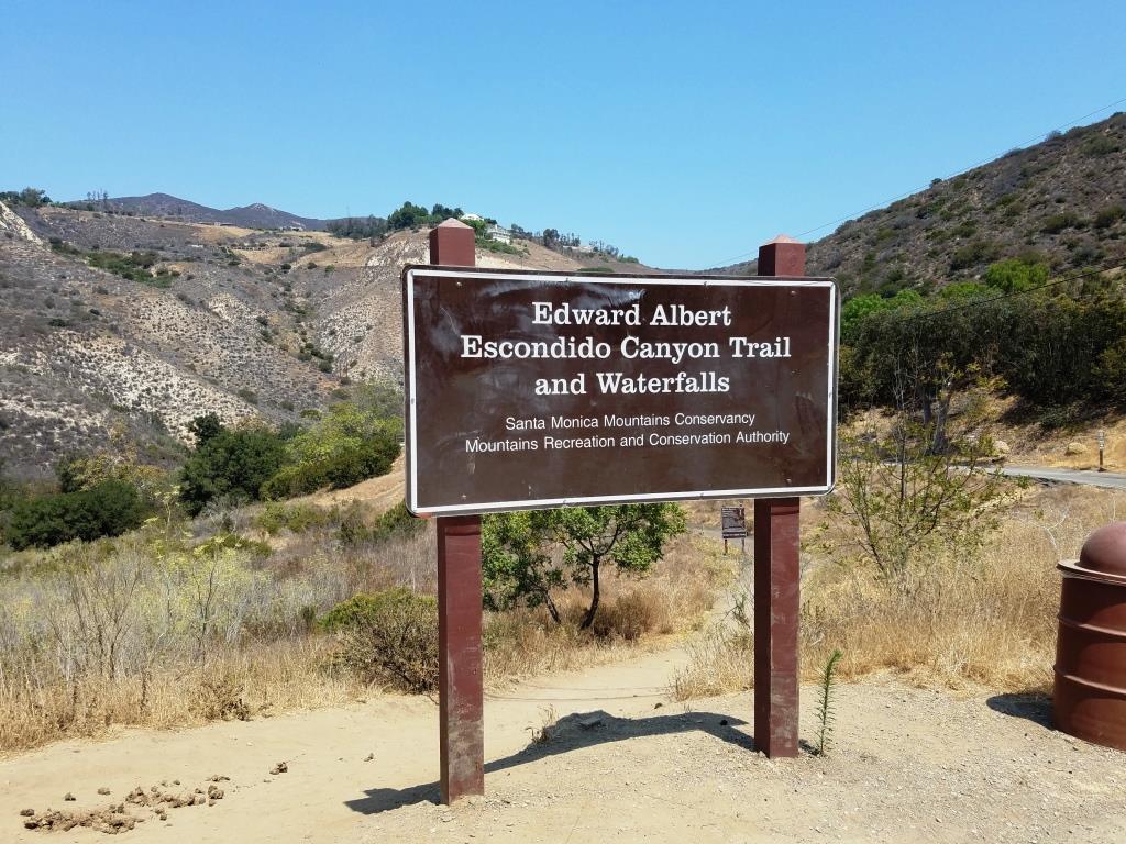
Trailhead on Winding Way
The Edward Albert Escondido Canyon Trail and Waterfalls is located off of Winding Way in Malibu. It also also referred to as Escondido Falls.
The most unique aspect to Escondido Falls is that it is home to the tallest waterfall in the Santa Monica Mountains at over 150 feet.
That said, in drought years, there is often no sign of waterfall, other than a sparse trickle into Escondido Canyon Creek. But even when that is the case, this is a nice, moderate hike, good for all ages.
That said, in very wet years, like 2023, you will encounter a number of stream crossing on the trail. Just be aware, as this may not be up your alley.
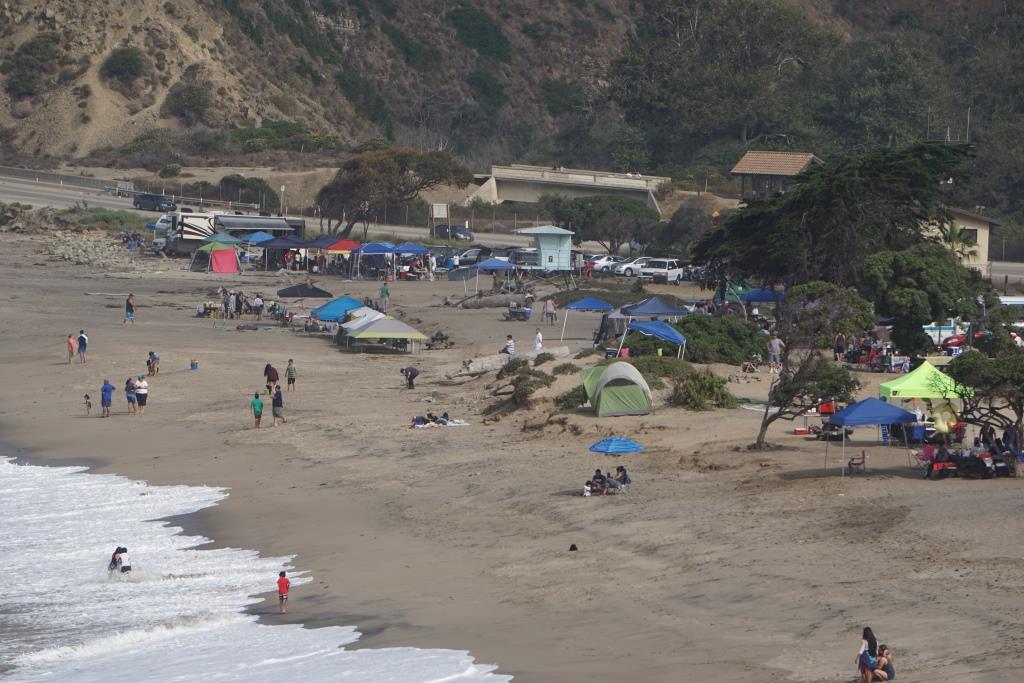
To get to Escondido Falls from the Conejo Valley/101, take Kanan south to PCH and turn left. You'll be driving just under 2 miles, past Paradise Cove, to the small parking lot on Winding Way and PCH. Turn left onto Winding Way and an immediate left into the parking lot. There's a sign; you can't miss it. The lot has spaces for only around 16 vehicles; it is full, you'll have to find a spot on PCH and make you way from there...but be careful and watch for the plentiful "no parking" signs on PCH.
Parking is $12 (as of June 2023) and takes both cash and credit cards. Parking fees contribute to the ongoing maintenance of the trails, including porta potty cleanings, graffiti and trash removal and partial staffing.)

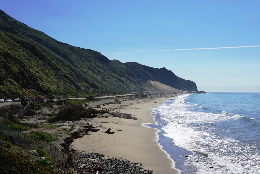
The parking area is on Winding Way and PCH. The initial section of the hike is along Winding Way is called the Winding Way Trail.
The hike is about 4 miles round trip and can be done in as fast as an hour (if you speed walk and don't hang out) or for most, a couple hours.
The first 8/10ths of a mile is along Winding Way to the trailhead. It has a moderate hill but is not that bad. Near the peak of the initial hill, you will need to cross from the left side of the street to the right side as you make your way up. There are signs that ask that you walk on the dirt trail rather than on the street, so try to abide by that. You will be treated to views of beautiful homes and ocean views along this portion of your trek.
After a short final downhill section, you'll reach the trailhead. After an initial left turn that takes you briefly west, most of the rest of the trail to Escondido Falls is a northeast to northerly direction. You'll be treated to lush oak woodlands and greenery year-round.

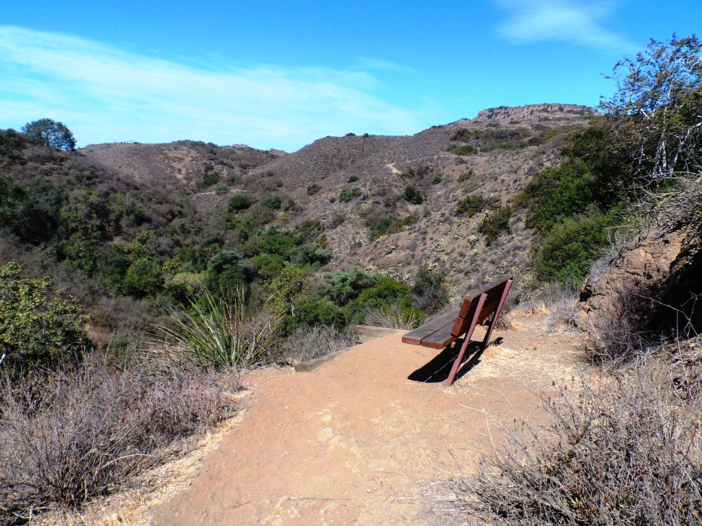
Much of the trail looks like this; canopied by oaks and shrub.
Hikers, equestrians and bikers are all welcome on the trail. Dogs too, on leash of course. I have not seen bikers on this trail, however. There are no restrooms, other than a porta-john at the parking lot. No drinking fountains, so bring water. There are trash cans at the trailhead.
The waterfall is a treat to see but the rest of the hike is quite nice too, largely shaded and not too hilly or technical. There is a net elevation gain from 150' at the trailhead to 325' at the Falls over about a mile, which is not bad.
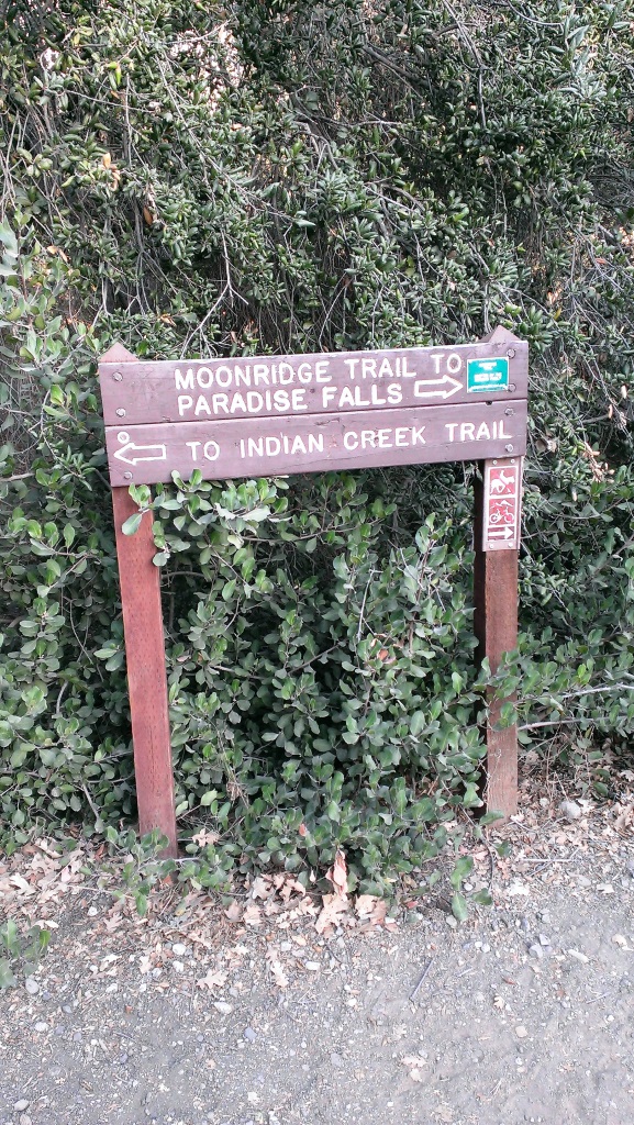
After the rainy season, you may have to cross the creek a few times as it criss-crosses the trail. There are a couple forks in the road where you may wonder which way to go. Generally speaking, turn left on your way to the falls and that will get you there.

Believe it or not, this is the end of the trail, where the waterfall flows after the rainy season. In late August pictured here, there is a dribble of water flowing into the creek.
The parkland ends at the multi-tiered waterfall area and the trail ends. Except, there are paths that can get you to the upper falls. Technically you are not supposed to do this because you are no longer on public land, not to mention you are literally rock climbing your way up there and it can be dangerous.
This is a fun, family-friendly hike that is worth a try. Quite popular, one could argue, too popular, on weekends.

There's one side trail to the east that will give you views of the waterfall when it is flowing. The white-ish area in the upper right hand of this photo is where the waterfall resides.
Why is it named after Edward Albert? Well, Edward Albert is the only son of actor Eddie Albert, well known for his role on TV sitcom "Green Acres." Edward died at age 55 in 2006. Prior to his death, he was a tireless advocate for preserving Escondido Canyon. The Santa Monica Mountains Conservancy named the area in honor of him several months prior to his death. (1)
Visit the Santa Monica Mountains Conservancy site at mrca.ca.gov/parks/park-listing/escondido-canyon-park for more information.
(1) Los Angeles Times obituary dated 9/27/06 at this link.

Escondido Falls parking as of June 2023.