A Look at the Conejo Valley Before and After the Recent Rainstorms
/As Tom Jones said, "It's good to touch the green, green grass of home." We're seeing green hills throughout the Conejo Valley after several months of rain. We're enjoying it now, but we know it will only last so long, as evidenced in the "before and after" photos below.

Autumn Ridge Trail in the Lang Ranch Open Space last May.

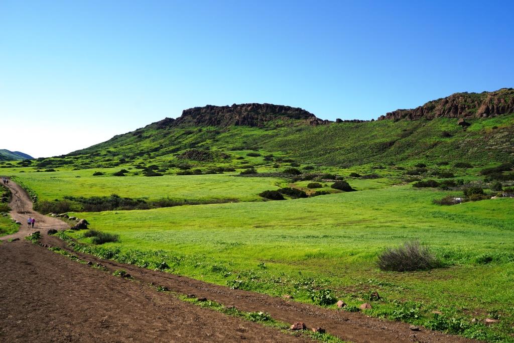
Autumn Ranch Trail in Lang Ranch in late February 2017.

Horsing around in the Rancho Potrero Open Space, Newbury Park, last December.
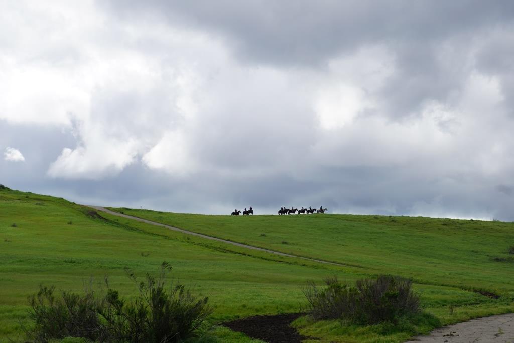
Horsing around again in Rancho Potrero; this time in late February 2017.

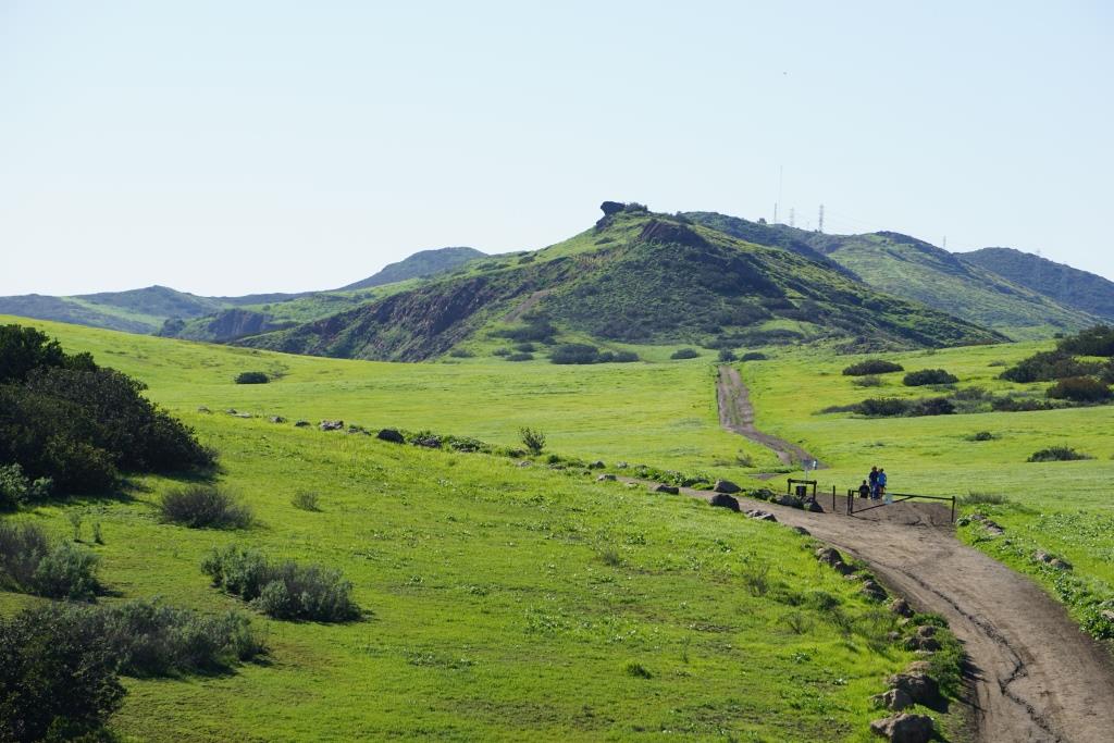
Hidden Valley Overlook in Rancho Sierra Vista/Satwiwa last July.

Hidden Valley Overlook two days ago.

Boney Mountain Range in the Santa Monica Mountains from Dos Vientos early last November
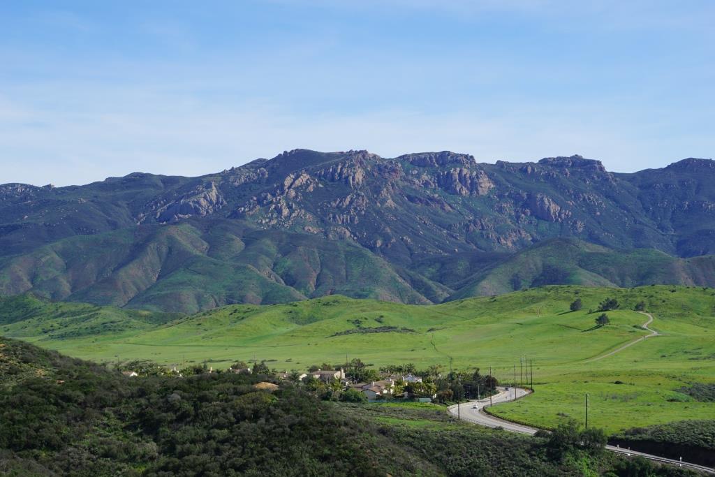
The same view of the Boney Mountain Range, with the Rancho Potrero area in the foreground, on Friday, March 3, 2017.

A view of Lizard Rock in Wildwood Park from the Mesa Trail in late September 2016.
The same view towards Lizard Rock in Wildwood Park on February 24, 2017.
My, oh my, do we love the green, green grass of home or what!? Enjoy it while you can!