Wheeler Gorge Visitor Center and Campground in Ojai

WheelerGorge.jpg

The Wheeler Gorge Visitor Center is located at 17017 Maricopa Highway, Ojai. To reach the Center from Ventura take Highway 33 towards Ojai at the “Y” intersection (by the Vons shopping center) turn left on Hwy 33 for about eight miles.

The Center provides information about the Los Padres National Forest and also sells maps, trail guides, forest-related books, Adventure Passes and other items. It opened in June 2001. Staff are on hand to help you plan your backcountry trip planning in the area.

The Center also serves as a hub for interpretive and educational activities and programs. These include membership functions and presentations about the resources and issues of Los Padres National Forest. One of the more popular programs is the Introduction to Backpacking course.

The Visitor Center has a kitchen, classroom, library, audiovisual equipment, large parking area, outside picnic areas, and tools/equipment storage and serves as a staging area for forest projects in the southern section of the Los Padres National Forest.

The Center is open on weekends from 9am to 3pm, except Thanksgiving and Christmas. More information at lpforest.org/wheeler or call 805.640.9060.

Across the street is the Wheeler Gorge Campground, which is open year-round and offers over 60 single-family sites for tent or RV camping. Some sites are available on a first-come, first-served basis. Visit www.recreation.gov/camping/Wheeler_Gorge/r/campgroundDetails.do?contractCode=NRSO&parkId=70392 to learn more about the Wheeler Gorge Campground.

Park View Trail in Dos Vientos Section of Newbury Park

ParkViewTrail_sign1.JPG

The Park View Trail is a short little 1/2 mile trail adjacent to Dos Vientos Community Park in Newbury Park. There are two main access points. There is a trailhead near the corner of Rancho Dos Vientos and Via Rincon at the southwest corner of the park, and there is another trailhead on Via Ricardo, one block east of Via Pisa.

Views of Dos Vientos Community Park from the Park View Trail.

Views of Dos Vientos Community Park from the Park View Trail.

This short hike is perfect with the kids as it is not too strenuous and is adjacent to the park. Good for a quick getaway. There's also at least one geocache on this trail that's pretty cool.

Moderate trail it is. Not too steep, yet not completely flat.

Moderate trail it is. Not too steep, yet not completely flat.

View of the Edison power lines going up Conejo Mountain from Park View Trail.

View of the Edison power lines going up Conejo Mountain from Park View Trail.

Nice quick access to views of the park, Dos Vientos, the Powerline Trail and beyond. And speaking of the Powerline trail, the trailhead is directly across the street from the west end of the trail.

Trailhead on west side of Park View Trail off of Via Ricardo

Trailhead on west side of Park View Trail off of Via Ricardo

Interested in other Dos Vientos trails? Learn about the El Rincon, El Cerro and Las Brisas trails and the nearby (access point just south on Via Ricardo) Vista Del Mar Trail.

Fossil Trail Loop Hike in Point Mugu State Park

If you have two to three hours to spare and are looking to do about six miles of strenuous local hiking, consider trying the Fossil Trail loop in Point Mugu State Park, starting at the adjacent Rancho Sierra Vista/Satwiwa managed by the National Park Service in Newbury Park . If you're looking for a FLAT hike, this one isn't for you! Click the image below for detailed information and photos.

Palo Comado Canyon to Simi Peak Hike in Oak Park

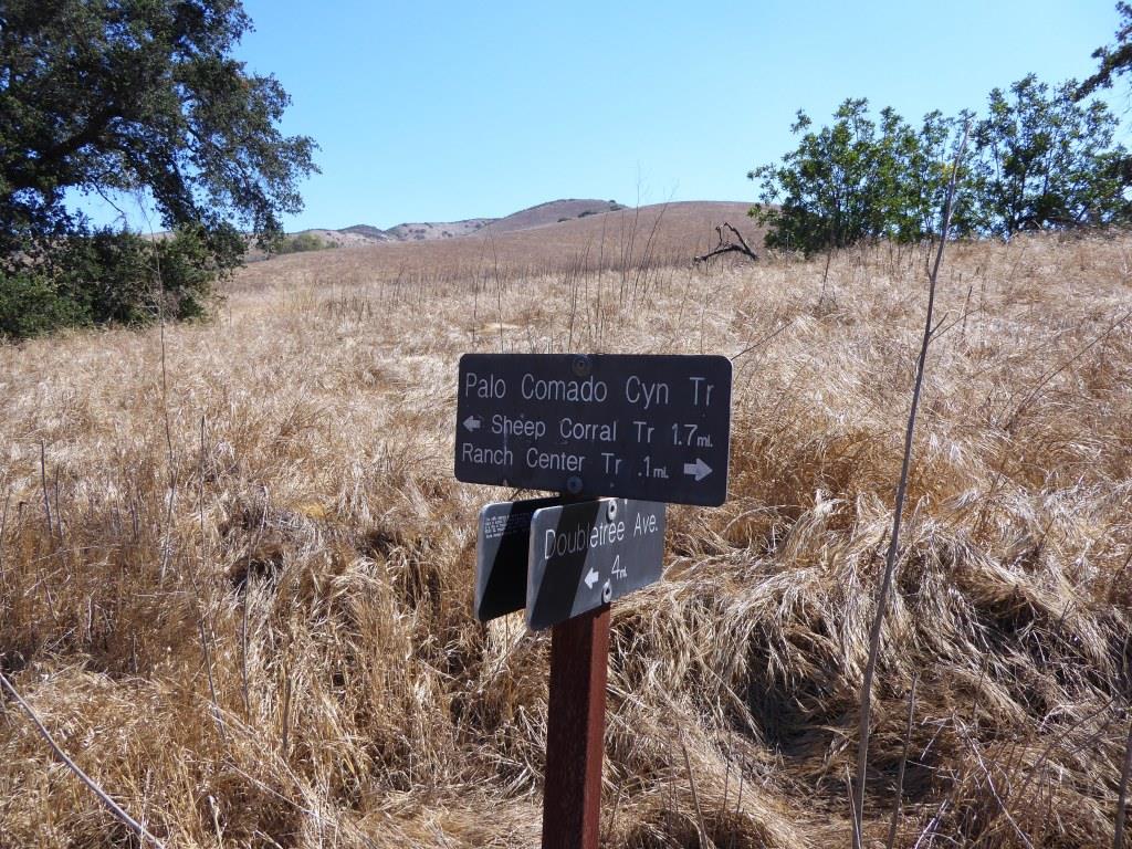
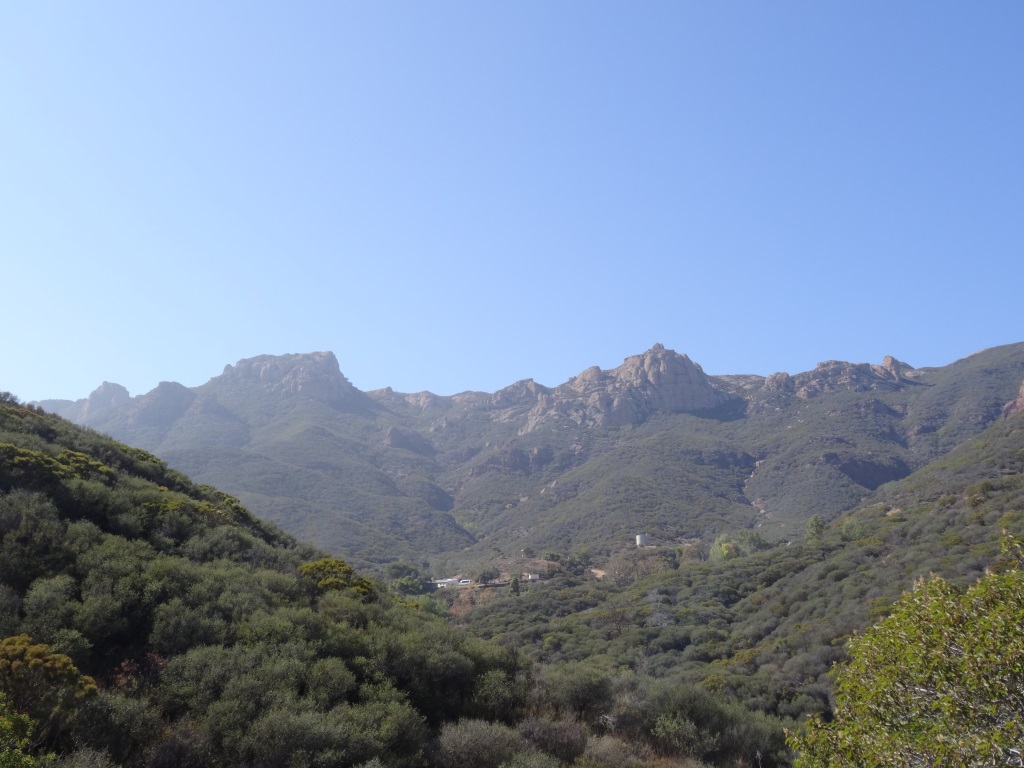
If you're looking for a challenge, consider hiking from the Palo Comado Canyon Doubletree Road Trailhead to the 2,405 foot elevation Simi Peak in Oak Park. This is about a 4 to 4 1/2 mile trek each way with a 1,200 foot elevation gain to the top that is well worth it if you have the time and the energy.

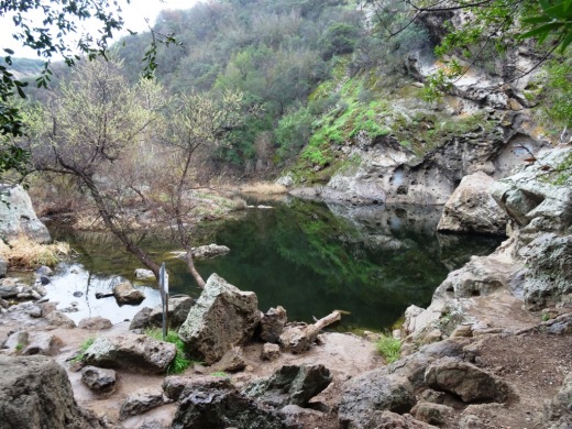
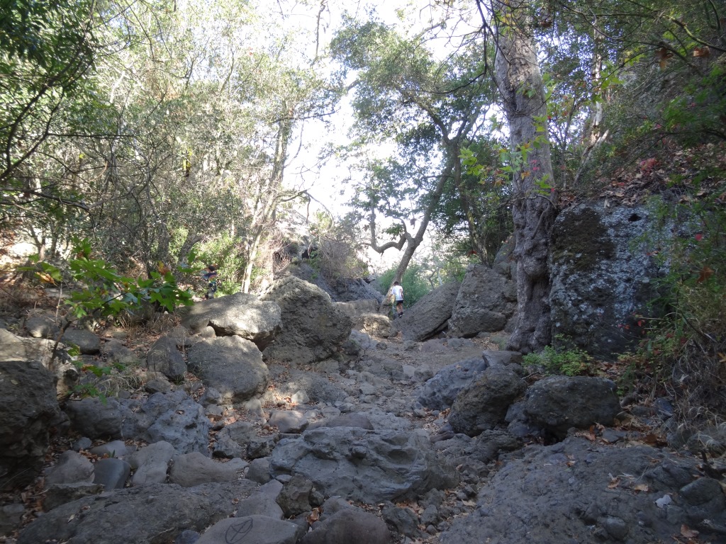
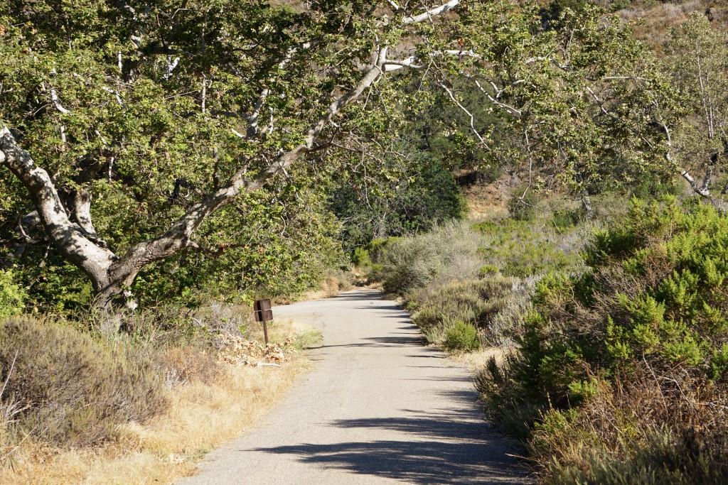
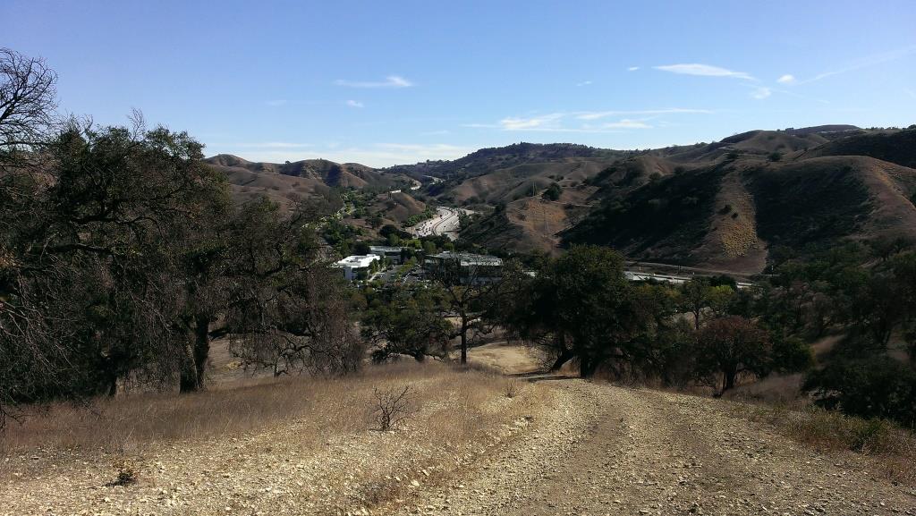
Mind you, this particular stretch of trail, the Palo Comado Fire Road, I've rarely seen more than a handful of hikers and runners on over the years. I usually see more cyclists up here than anything. Part of the challenge is that it can get pretty hot up here on these trails as most of them get full exposure to the sun. So do bring plenty of water and wear sunscreen unless it happens to be a rare, overcast day. No restrooms either.

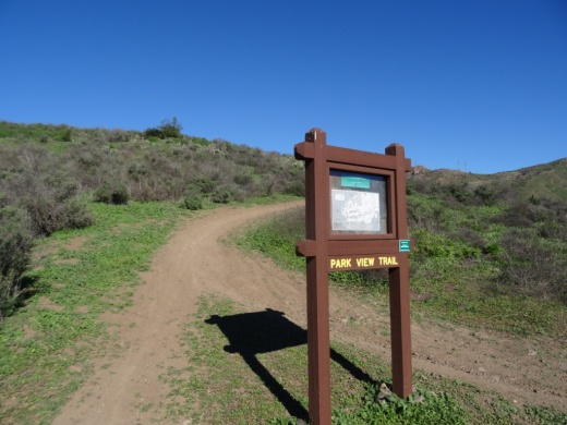
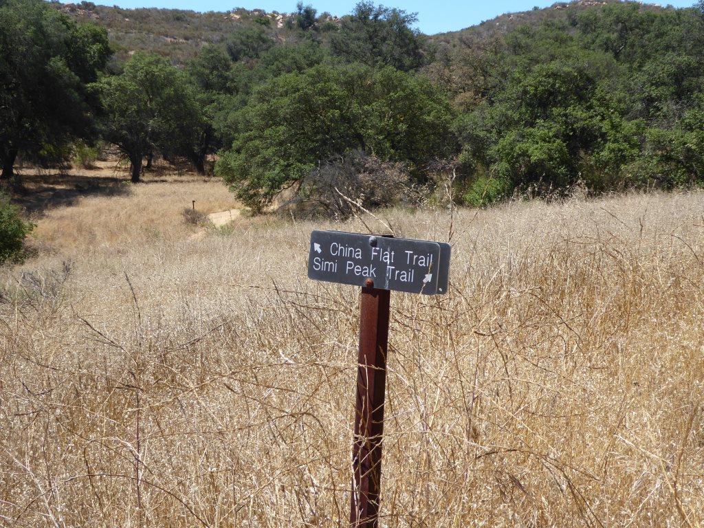
A quicker, easier path to the panoramic Simi Peak, the highest point in the Simi Hills, is via the China Flat Trailhead.

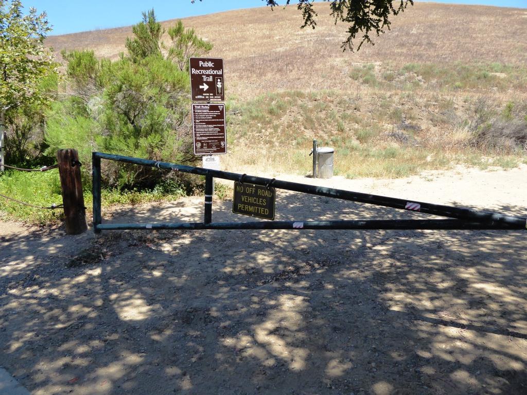
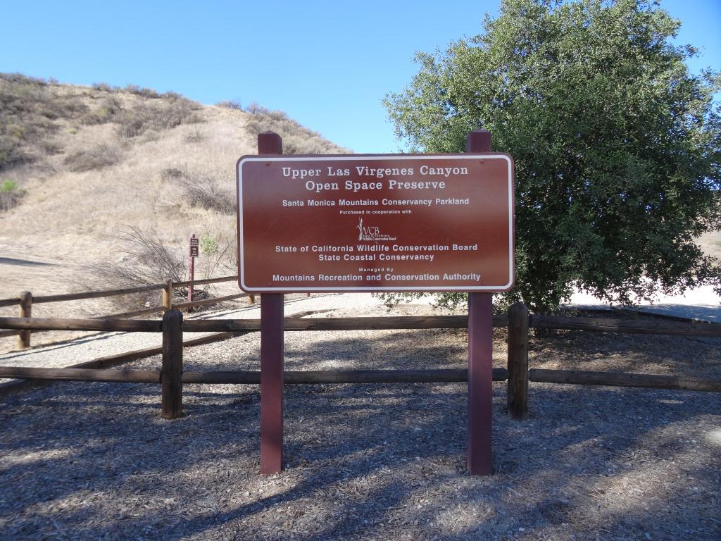
So if you're up to the challenge, park your car near the trailhead on Doubletree Road , just east of Clear Haven Drive, in Oak Park. From the 101, take Kanan to Sunnycrest Drive, and make a right. Sunnycrest becomes Doubletree after it veers left. The trailhead is on the right.

About a half mile from the trailhead gets you to the Palo Comado Canyon Trail, where you'll head north (left).

About a half mile from the trailhead gets you to the Palo Comado Canyon Trail, where you'll head north (left).

The Palo Comado Canyon Trail is fire road, so it is nice and wide.

The Palo Comado Canyon Trail is fire road, so it is nice and wide.

Eventually, after a bit of a grueling climb (this hike is not kid friendly if you ask me), you'll reach this corral area. Continue west (left).

Eventually, after a bit of a grueling climb (this hike is not kid friendly if you ask me), you'll reach this corral area. Continue west (left).

Follow the direction of the signs toward the Simi Peak Trail and you're on your way.

Follow the direction of the signs toward the Simi Peak Trail and you're on your way.

Follow the direction of the sign towards Simi Peak. The only challenge is that you have to go with your gut at some point as the signs stop.

Follow the direction of the sign towards Simi Peak. The only challenge is that you have to go with your gut at some point as the signs stop.

The trails get narrower and a bit more technical as you head your way to the peak. Wear good shoes.

The trails get narrower and a bit more technical as you head your way to the peak. Wear good shoes.

You've reached your destination when you see this.

You've reached your destination when you see this.

You are now at Simi Peak, the highest point of the Simi Hills. The round marker on the right is from the Ventura County Surveyor. In background is Lindero Canyon Road headed south.

You are now at Simi Peak, the highest point of the Simi Hills. The round marker on the right is from the Ventura County Surveyor. In background is Lindero Canyon Road headed south.

Fancy, green highlighted map (courtesy National Park Service).

Grotto Trail Hike at Circle X Ranch in Malibu

Although it takes a bit of patience getting from the Thousand Oaks area to Circle X Ranch nestled in the Santa Monica Mountains in Malibu, Sandstone Peak (highest point in the Santa Monica Mountains), the Mishe Mokwa Trail (including the amazing Balanced Rock) and the Grotto Trail make it a worthwhile trek.

The Grotto Trail is a 3 1/2 mile round trip hike from the Ranger Station at Circle X Ranch at 12896 Yerba Buena Road, Malibu

You can park in front of the Circle X Ranch building, then follow the signs down to the Grotto Trail trailhead adjacent to the group campground. Parking is free. There is a restroom and drinking fountain along with maps available. A park ranger may also be on hand to answer any questions.

The mostly single track trail leads you on rolling terrain down to an area called The Grotto, where you will find a creek and, in winter months, a waterfall. The trail is a bit rocky but can be done by most ages. The hills are rolling, the terrain varies with rocks, a areas with steps, etc. There is also ample amounts of poison oak growing on the sides of the trail various section, so do be aware. That said, I've been here several times with the kids and we managed to avert any issues.

Bikes are not allowed on the Grotto Trail. Dogs are allowed on leash, until you reach the streambed at the bottom of the canyon.  Learn more at www.nps.gov/samo/planyourvisit/circlexranch.htm.

Grotto Trailhead sign adjacent to circle X campground

Grotto Trailhead sign adjacent to circle X campground

So what makes the Grotto Trail special? Well, you hike down through a canyon leading to the west fork of the Arroyo Sequit. Plenty of shade and views all over. Once you reach the bottom of the trail, there is a creek. You'll hear running water pretty much year-round (though in late summer it can be a trickle). If you keep trekking down the unimproved creek bed, you'll come across large boulders and rock formations down to the "Grotto," a caved area pooled with water. But to get down there is not for everyone. You'll want to have both hands available as you climb down the boulders to the cave below. It is pretty cool though and you can explore without actually getting into the water. Photos below.

About .4 mile into the hike, you'll see see this sign for the Canyon View Trail, which takes you .6 mile up to a small parking area off of Yerba Buena Road (about halfway between Circle X Ranger Station and Sandstone Peak trailhead)

About .4 mile into the hike, you'll see see this sign for the Canyon View Trail, which takes you .6 mile up to a small parking area off of Yerba Buena Road (about halfway between Circle X Ranger Station and Sandstone Peak trailhead)

Watch out for the poison oak on the sides of the trail...there's plenty of it but you can avert it if you are aware.

Watch out for the poison oak on the sides of the trail...there's plenty of it but you can avert it if you are aware.

Another sign, the final sign you'll see, .7 miles from the trailhead.

Another sign, the final sign you'll see, .7 miles from the trailhead.

Some nice views of the surrounding canyons and towards Sandstone Peak.

Some nice views of the surrounding canyons and towards Sandstone Peak.

Eventually you'll reach this tree-lined area next to a creek that leads to the grotto area.

Eventually you'll reach this tree-lined area next to a creek that leads to the grotto area.

Continue your way to the grotto through this unmarked, increasingly rocky section.

Continue your way to the grotto through this unmarked, increasingly rocky section.

For many, this may be the endpoint for your hike once you see these boulders. But there's a path (I won't call it a trail, because it isn't) on the right hand side that, with a bit of patience, will get you to the cave below.

For many, this may be the endpoint for your hike once you see these boulders. But there's a path (I won't call it a trail, because it isn't) on the right hand side that, with a bit of patience, will get you to the cave below.

Not exactly easy but do-able. After the boulders there's a dirt path that I slipped on and flew nearly parallel to the ground, landing my lower back on a tree root. I survived but my utterances had to be bleeped out by censors.

Not exactly easy but do-able. After the boulders there's a dirt path that I slipped on and flew nearly parallel to the ground, landing my lower back on a tree root. I survived but my utterances had to be bleeped out by censors.

View of the grotto cave from the outside. You can go inside there either through the water if you are prepared or through a hole formed by boulders above the cave, which we opted not to attempt. Maybe next time. It is pretty cool in there!

View of the grotto cave from the outside. You can go inside there either through the water if you are prepared or through a hole formed by boulders above the cave, which we opted not to attempt. Maybe next time. It is pretty cool in there!

Definitely an interesting place to explore. this is above the cave area. But do watch for snakes and such down here too 

Definitely an interesting place to explore. this is above the cave area. But do watch for snakes and such down here too 

Las Flores Creek Park in Malibu

Las Flores Creek Park at 3805 Las Flores Canyon Road in Malibu is a neighborhood pocket park with on-site parking, picnic tables, restrooms, a small playground, benches, a pedestrian bridge, and over one-third of a mile of walking trails. The park also has over 45 varieties of native plant species and interpretive signage throughout the park with information about the plants, riparian habitat, the creek stabilization project, and the history of the area. More at www.malibucity.org.

Zev Yaroslavsky Las Virgenes Highlands Park in Calabasas

The Zev Yaroslavsky Las Virgenes Highlands Park is located on Las Virgenes Road, just south of Mureau Road and north of Highway 101 in Calabasas. Acquired in 2010, this area includes nearly 200 acres of open space providing a gateway to the Santa Monica Mountains and a welcome site to drivers navigating bottom of the Calabasas Grade on Highway 101.  Stop by sometime and take a hike up the moderately steep path through grasslands and oak trees to catch panoramic views of the surrounding areas. Learn more at THIS LINK.