Two Springs Trail and Wildwood Canyon Trails in Wildwood Park, Thousand Oaks
/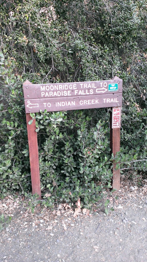
Sign on the west side of the Wildwood Park parking lot after walking down some steps. (Indian Creek Trail was renamed Two Springs Trail in May 2022.**)
If you enjoy the sound of running water, the Two Springs Trail (formerly Indian Creek Trail) and Wildwood Canyon Trail at Wildwood Park in Thousand Oaks are for you.
The Two Springs Trail can be accessed from the main Wildwood Canyon trailhead area parking lot at the east end of Avenida de los Arboles as well as at a separate trailhead on Arboles, slightly west of the parking lot.

Two Springs Trail (formerly Indian Creek Trail) entry point from Avenida de los Arboles
There are shady sections hidden among the trees and sections in the sun. Most of the trail runs along a creek that flows into Paradise Falls. This is not a completely easy hike as there are some hilly sections, a number of steps, and a stream crossing. That said, there's enough variety to make this a fun and interesting hike with the kids.
Visit the Conejo Open Space Foundation website at cosf.org/trails/wildwood/wildwood-park-easy-hike-moonridge-trail/ for a handy map of these trails.
About half a mile or so into the hike, you'll come across a fairly significant waterfall down below, way below, in the creek. Not as large as Paradise Falls, but definitely prominent. Adjacent to that area is a bench. And from there you have some steps and a stream crossing to make it down to the flatter section of the trail.

The waterfall seen from the Two Springs Trail (formerly Indian Creek Trail). Be careful!
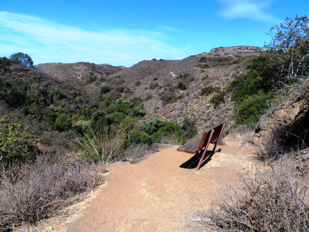
The bench on the Two Springs Trail (formerly Indian Creek Trail) in Wildwood Park
Eventually you get to a bridge. If instead of crossing the bridge, you veer left (southwest), you'll be on the Wildwood Canyon Trail along the creek. This is a wide path that can take you on another little sidetrack loop up the Castillo Trail to Castillo Circle (street). A bit of a steep, roughly 3/8ths of a mile trail to Castillo Circle, where you can walk back to a separate trailhead via Velarde Drive north to San Miguel Circle to the San Miguel Trail. You'll end up back at the bridge area.

The Wildwood Canyon Trail is pretty cool. Fairly flat, wide and runs along a creek. The water they say is mostly urban runoff but fun to check out up close with the kids.
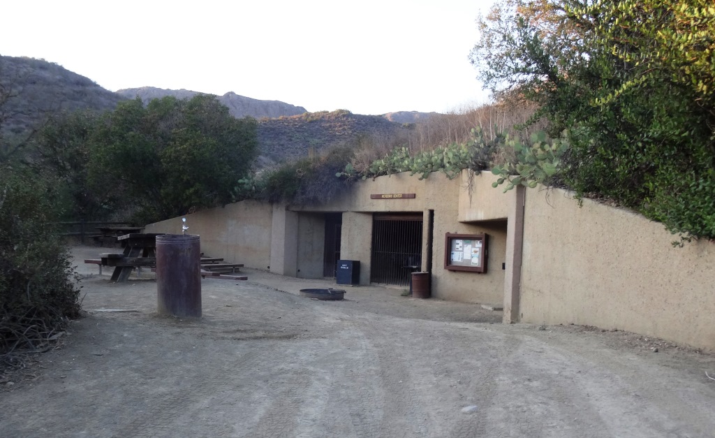
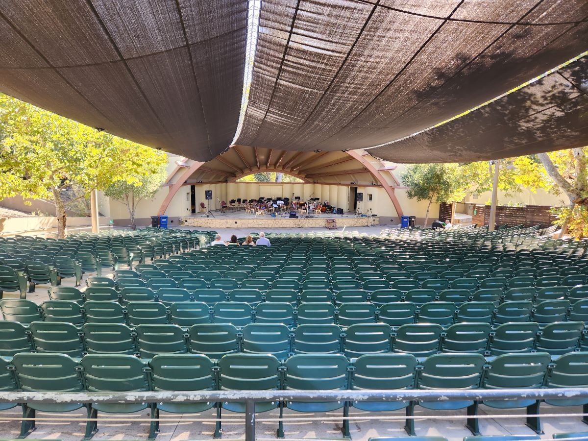
The Meadows Center next to the bridge has restrooms and a drinking fountain. The Conejo Rec & Park District leads many hikes here for s'mores and fun activities.

The bridge that intersects the tWO sPRINGS (FORMERLY iNDIAN cREEK) Trail and Wildwood Canyon Trail. Lots of options!
Or, veer right (west) over the bridge, continuing on perhaps the Wildwood Canyon Trail southeast towards the top end entry into the Paradise Falls area (pretty cool to go this way). You can also sidetrack a bit by crossing the bridge and making a sharp right (north) to the short Little Cave Trail** and check out the Little Cave **.

The Little Cave (formerly Indian Cave**) is really easy to get to. Wear good hiking shoes though as it can get slippery. I slipped several times recently because the sole of my sneakers was so worn down.
You can return to the parking area by either backtracking up the Two Springs Trail or by taking the trail directly across from the bridge (basically go straight) up the steep, moderately winding path to a public access road (there is overflow parking available here) to the main Mesa Trail. From there, go right (east) back to the parking lot.
I could go on but there are so many different options in Wildwood Park that we'll stop here for now. Here are links to some other options:
THE TEEPEE, LITTLE CAVE AND PARADISE FALLS
SANTA ROSA TRAIL AND LOWER BUTTE TRAIL FROM WILDWOOD PARK TO CLU
** The change in name was approved by the Conejo Open Space Conservation Agency (COSCA) in May 2022. COSCA received a request to change the Indian Creek Trail name earlier that year. On its own, the work "Indian" refers to individuals from India, rather than Native Americans, and thus did not accurately reflect the origin of the people to whom it refers.
The Indian Cave and Indian Cave Trail were renamed Little Cave as it was unclear if the cave was naturally formed and/or historically used by Native Americans.
The Indian Creek Trail in Wildwood Park was renamed Two Springs Trail as two natural springs contribute to the stream flow in this portion of the channel.