Ventura County Area Parks

There are hundreds of parks in Ventura County and surrounding areas. DOZENS of them are described in the Kid Fun section of CVG with pics and videos for you to check out!

But here is a compilation with links to all the various parks in the area.

Agoura Hills: www.agourahillscity.org/department/community-services-parks-recreation/parks-facilities/parks (6 parks)

Calabasas: www.cityofcalabasas.com/government/community-services-parks-recreation/parks-trails-and-facilities (8 parks)

Gates Canyon Park in Calabasas (Remodeled in 2024)

Camarillo: www.pvrpd.org/parks-list (28 active and passive use parks)

Malibu: www.malibucity.org/Facilities (6 parks)

Moorpark: www.moorparkca.gov/DocumentCenter/View/94 (18 parks)

Oak Park: rsrpd.org/parks/oak_park/parks/index.php (10 parks)

Ojai: www.ojairec.com/221/City-Parks (8 parks)

Oxnard: www.oxnard.gov/public-works/parks/find-a-park (36 parks)

Port Hueneme: www.ci.port-hueneme.ca.us/index.aspx?nid=553 (7 parks)

Santa Paula: spcity.org/300/Parks-Facilities (11 parks)

Simi Valley: rsrpd.org/parks/simi_valley/parks/index.php (37 parks)

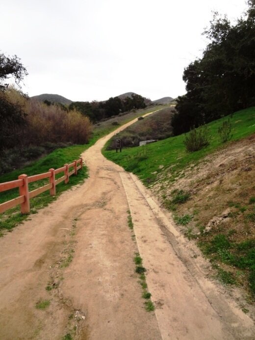
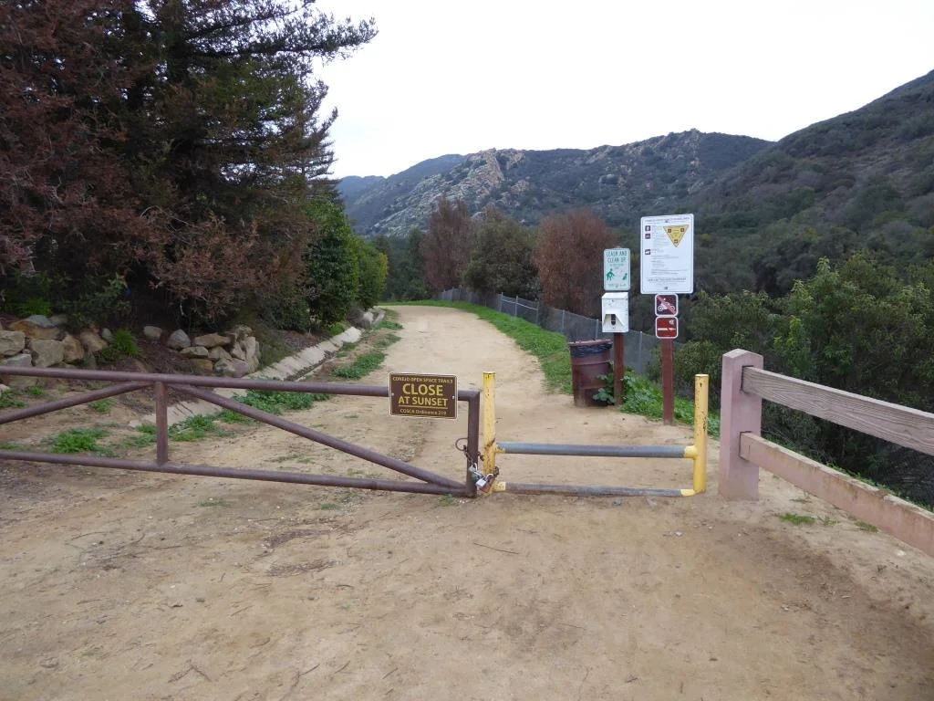
Conejo Valley (Thousand Oaks/Newbury Park/Westlake Village) www.crpd.org/parks-reservations/parks (51 parks)

Thousand Oaks Community Park

Thousand Oaks Community Park

Ventura: www.cityofventura.ca.gov/1952/City-Parks (24 parks)

County of Ventura Beach Front Parksventuracounty.gov/parks-department/beach-front-parks (3 parks)

County of Ventura Inland Parksventuracounty.gov/parks-department/inland-parks (13 parks)

Westlake Village: www.wlv.org/city_services/parks-rec.asp (8 parks)

101 Escape Rooms in Westlake Village and Thousand Oaks

101 Escape Rooms has two locations in the Conejo Valley - 31139 Via Colinas #210, Westlake Village, across the street from the Four Seasons Westlake Village and on the ground level of the outdoor shops section of The Oaks shopping mall in Thousand Oaks (just opened).

Open 7 days a week. Hours vary by day. Offering interactive fun trying to escape from a room, using puzzles and clues.

Learn more at www.101escaperooms.com. Phone numbers are (747) 222-7638 (WLV) and (805) 750-2644 (T.O.).

Paramount Ranch Recreation Area in Agoura

The Woolsey Fire in November 2018 destroyed the historic structures at Paramount Ranch described below. However, there is a plan to rebuild four of the structures in 2024-2025. More information at www.nps.gov/samo/learn/historyculture/paramount-past-present-and-future.htm.

ParamountRanchWoolsey.JPG
Paramount Ranch Western Town Aerial View (Courtesy NPS)

Paramount Ranch Western Town Aerial View (Courtesy NPS)

Paramount Ranch is located in Agoura off of Cornell Road, between Kanan Road and Mulholland.  Click here for a map in a pdf file on the National Park Service website.

Paramount Pictures originally purchased 2,700 acres here for use as a "movie ranch" in 1927 and since then, hundreds of movies and TV shows have been filmed there.  A permanent western town was built on the site in the early 1950s using old Paramount Pictures props.  Before the Woolsey Fire of 2018, you could walk freely around these old sets.

Before the Woolsey Fire of November 2018.

Before the Woolsey Fire of November 2018.

The Western Town sign and bridge is still there but most everything surrounding it is burnt after the Woolsey Fire of November 2018.

The Western Town sign and bridge is still there but most everything surrounding it is burnt after the Woolsey Fire of November 2018.

ParamountRanchPic1.JPG
Western Town at Paramount Ranch destroyed in the Woolsey Fire.

Western Town at Paramount Ranch destroyed in the Woolsey Fire.

ParamountRanch2.JPG
A beacon of hope. Two structures were unharmed in the Woolsey Fire - this church building seen in the TV series “Westworld” and the train station.

A beacon of hope. Two structures were unharmed in the Woolsey Fire - this church building seen in the TV series “Westworld” and the train station.

ParamountRanch3.JPG

A list of movies filmed at Paramount Ranch is here.  These include films like The Last Outlaw (Gary Cooper), The Virginian (Gary Cooper), Tom Sawyer, Huckleberry Finn (Jackie Coogan), Million Dollar Legs (W.C. Fields), Adventures of Marco Polo, Remember  the Night (Barbara Stanwyck) and many more.  From 1992 to 1997, the TV show, Dr. Quinn, Medicine Woman (featuring Jane Seymour) was filmed there.

Beyond the western town, there are plenty of hiking trails at the park.  More information at www.nps.gov/samo/planyourvisit/paramountranch.htm or call the NPS at 805.370.2301.

White Horse Canyon Trail in Westlake Village

The White Horse Canyon Trail trailhead is located off of Potrero Road, just east of the little bridge next to Vista Oaks Way. From Thousand Oaks/101 take Westlake Boulevard to Potrero Road, turn right, and the bridge is less than half a mile away. Park either in allowed spots on the opposite side of Potrero Road or in an adjacent neighborhood.

You walk into this gulley to get to the nondescript trailhead. In fact, I don't see signage that actually says White Horse Canyon Trail. But there is the following entry point that does make it clear:

WhiteHorse_trailhead.JPG

The trail is really more like a fire road, wide, somewhat rocky, but not particularly difficult. The climb gets you up to some peaks that provide views of all the surrounding areas.

Wide trail. Be aware that private residences are adjacent to the first portion of the trail.

Wide trail. Be aware that private residences are adjacent to the first portion of the trail.

You can take the White Horse Canyon Trail to the Los Robles Trail and do a 6 mile loop back the start, or you can reach the first peak at about 1,300 ft, take in the views, and turn back, for about a 2 mile hike.

WhiteHorseLookingDown.JPG

There's a nice little map showing a counter-clockwise loop from White Horse to Los Robles going east, looping back to White Horse. Visit cosf.org/trails/los-robles/los-robles-strenuous-hike-los-padres-to-white-horse-cyn.

Folks often ask me if trails are stroller friendly or not. This one in my estimation is not particularly stroller friendly because the surface is often uneven, with many loose rocks and soft dirt at times. It is do-able but not one of the better trails for that purpose...in my opinion.

WhiteHorseTrail2.JPG

County Line Beach in Solromar (Ventura County)

county line beach1.JPG

County Line Beach is located near the corner of PCH and Yerba Buena Road in Solromar, a small unincorporated community in the southwest corner of Ventura County, just northwest of the actual Ventura/Los Angeles county line.

The beach lies in between portions of the residential areas of Solromar. Solromar is the only residential community along the Malibu coast not included within Malibu city limits, yet this portion of Ventura County typically uses Malibu in its address. Neptune's Net is a well known eatery located across PCH from County Line Beach.

County Line Beach is a very popular surf spot and has about half a mile of sandy beach to enjoy. There is a dirt parking strip located off PCH that has spaces for about 15 cars; otherwise, street parking on PCH is available. There are a couple porta-johns. No lifeguards on duty here.

County Line Beach is referenced "Ventura County Line" in the 1963 Beach Boys hit, Surfin' U.S.A.

LOCAL BEACHES IN MALIBU, POINT MUGU, PORT HUENEME AND OXNARD

Santa Barbara Bowl

SantaBarbaraBowl.jpg

The Santa Barbara Bowl, located at 1122 N. Milpas Street, Santa Barbara, was originally built in 1936 and today with its capacity of nearly 4,600 people (4,974 for general admission standing) is the largest outdoor amphitheater in Santa Barbara County.

The Bowl is a beautiful outdoor setting with views of the ocean and the city. It offers top notch acts on a year-round basis and has great acoustics!

The parking lot utilized by the Bowl for patrons is located at Santa Barbara High School, less than 200 yards away from the venue. A short climb beside stone masonry walls through a beautiful glen with old oak trees leads to the amphitheater.

For more information and to buy tickets visit www.sbbowl.com or call 805.962.7411.

Nice views from the Santa Barbara Bowl too!

Nice views from the Santa Barbara Bowl too!

Ojai Valley Museum

OjaiValleyMuseum.jpg

Founded in 1966, the Ojai Valley Museum at 130 West Ojai Avenue has an extensive collection of art, Native American baskets, pioneer tools and photographs of early days in Ojai.

The Ojai Valley Museum Research Library houses archives including historical journals that chronicle the events of early to contemporary Ojai Valley activities.

Suggested donations as of May 2025 is $5 for adults, $1 for children ages 6 to 18. Open Thursday through Sunday from 10am to 4pm.

Open the 3rd Friday of each month 10 am to 7pm.

For more information, visit www.ojaivalleymuseum.org or call 805.640.1390.

The museum is housed in the former St. Thomas Aquinas Catholic Church. The beautiful 100+ year old building (built in 1918) is on the National Register of Historic Places.

OjaiValleyMuseum_front.JPG

Ventura Botanical Gardens

The Ventura Botanical Gardens is a 107 acre site with walking paths and spectacular views of the Ventura coastline and beyond. The Gardens represent the five Mediterranean climate zones of the world - Chile, the Cape of South Africa, Australia, the Mediterranean Basin, and California.

The trail is accessible behind Ventura City Hall, located at 567 South Poli Street. Take the driveway on the right side of City Hall (facing the building) and drive up to the parking area.

You can also visit the Merewether Welcome Center, which has a gift shop full of artisan gifts, pottery, and plants.

Admission is $7 Tuesdays through Sundays from 9am to 5pm. Closed Mondays. Members, children 18 and under and EBT cardholders free. Fridays are free. Leashed dogs welcome on Wednesdays, Fridays and monthly free days. Learn more at www.venturabotanicalgardens.com.

Access to the trail is on the right (east) side of Ventura City Hall.

Access to the trail is on the right (east) side of Ventura City Hall.

A short walk will get you some pretty views!

Skateboarding Hall of Fame and Museum in Simi Valley

The Skateboarding Hall of Fame and Museum opened at the Simi Valley Town Center in December 2018. It is located directly across from the Vans store in the mall in a space of over 10,000 square feet.

The International Skateboarding Hall of Fame is a 501(c)(3) non-profit founded by Todd Huber. It was created to honor the passion, dedication and contributions to skateboarding history and culture by skateboarders and cultural icons through the decades.

The museum displays hundreds of skateboards and other skating artifacts spanning decades. There is also an art gallery, gift shop, theater/library (over 600 skating videos as well as skating magazines) and skate shop.

Also on site is s skate park with a fun wall ride available to local youth. Cost is $15 (as of March 2024).

Admission to the museum is free. Donations to the non-profit are always welcome.

Visit www.skateboardinghalloffame.org for more information. Hours as of May 2025 are Wed-Fri 2-8pm, Sat 11am-8pm and Sun noon-5pm.

Reagan Ranch Center Exhibit Galleries in Santa Barbara

ReaganRanchCenterGalleries.jpg

President Reagan’s home for 25 years and the Western White House during the height of the Cold War, the Reagan Ranch embodies the life and ideas of Ronald Reagan. In the spring of 1998, Young America’s Foundation stepped forward to save the Reagan Ranch; eight years later, in June 2006, the Reagan Ranch Center in downtown Santa Barbara opened its doors. 

The Reagan Ranch Center in downtown Santa Barbara is open to the general public for tours and visitation Thursdays and Fridays from 11:00 am to 4:00 pm. Admission is free.

These galleries feature original Reagan Ranch artifacts matched with state-of-the-art, interactive, multimedia exhibits that highlight the history of Ronald Reagan’s quarter-century at Rancho del Cielo and the accomplishments of his presidency.

ReaganRanchCenter1.jpg

Over six hours of dynamic multimedia exhibits provide access to exclusive speeches, interviews, radio addresses, and original video presentations. The centerpiece of the gallery is a 28-foot-long interactive “timeline” that gives users the ability to explore the “Western White House” during the 1980s.

The galleries also feature several unique collections on display, including the Lorraine Wagner Letter Collection, a nearly 300-piece collection of letters written by Ronald Reagan over a 50-year period and the Russell D. Sibert Collection, featuring rare Reagan-related memorabilia such as campaign buttons, posters and commemorative items.

A massive 5,000 pound section of the Berlin Wall greets visitors as they arrive at the Reagan Ranch Center, reminding the world of Ronald Reagan’s role in eliminating this assault on human dignity and freedom. The president’s famous blue Jeep Scrambler, complete with “Gipper” license plate, sits in the center of the gallery, flanked by a selection of his favorite books, an original saddle and chainsaw owned and used by President Reagan.

ReaganRanchGallery2.jpg

The Reagan Ranch Center is designed to engage visitors of all ages; younger children can even earn their “Junior Secret Service Clearance” by completing a fun and educational scavenger hunt.

The Reagan Ranch Center is located at 217 State Street next to the train station.

Hike to the Cross in the Hills Above Cal Lutheran University in Thousand Oaks

Views of Santa Rosa Valley from the hills above CLU.

Views of Santa Rosa Valley from the hills above CLU.

For a quick local hike and a calorie burner, try hiking to the cross in the hills above Cal Lutheran University in Thousand Oaks.

You can park in the CLU lot near the community pool at 100 Overton Court, Thousand Oaks. Then head in the direction of the adjacent baseball fields. Take the path just west of the fields towards the hills. After crossing the bridge, I veer right on the trail.

The hike itself is not particularly picturesque until you get to the top of the hill. On the east end of the hilltop is the prominent cross, along with several benches for enjoying the fruits of your uphill labor. Views extend towards the Santa Rosa Valley on the north and Thousand Oaks on the south.

You can continue your way west up the hill if you’d like. In total, the hike is about a mile to a mile and a half round-trip.

The trails are usually well maintained, though you can slip on the dirt if you don’t have decent traction on your shoes. Couldn’t hurt to bring a walking stick for the steeper, slippery parts of the hill towards the top.

So if you’re really feeling energetic, there’s a trail that takes you to Wildwood Park from these trails. See THIS LINK.

clu cross lr.JPG
As you make your way towards the hill after passing by the baseball fields, you’ll see this sign.

As you make your way towards the hill after passing by the baseball fields, you’ll see this sign.