Conejo Canyons Open Space in Thousand Oaks
/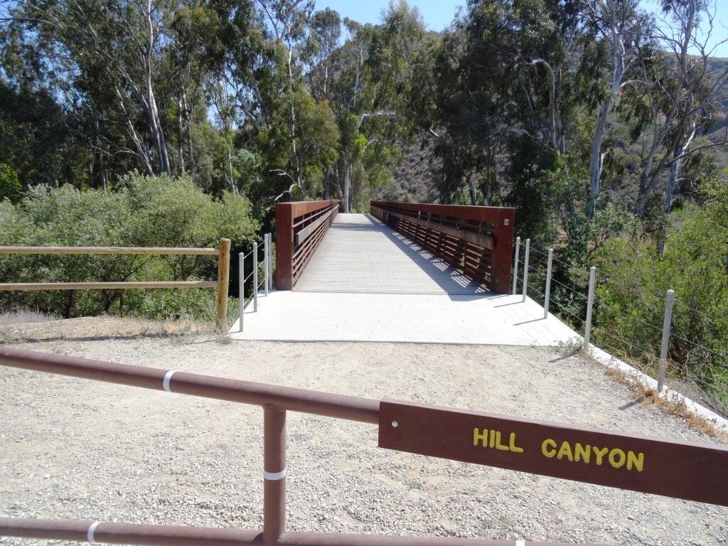
Pedestrian bridge that provides access into the conejo canyons Open Space
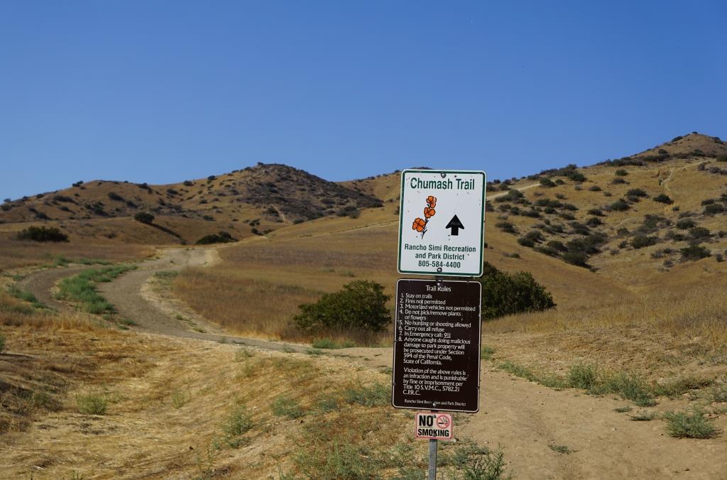
The Conejo Canyons Open Space in the Western Plateau area of Thousand Oaks is a 1,430 acre area with over 10 miles of trails to explore. It also ties in to Wildwood Park. Visit cosf.org/conejo-canyons for trail maps.
The main entrance to the Conejo Canyons Open Space is via a pedestrian bridge accessed off of Santa Rosa Road. Coming from Thousand Oaks, take Moorpark Road north down the Norwegian Grade, where it intersects with Santa Rosa Road. Continue about 3.7 miles on Santa Rosa Road and make a left on Hill Canyon Road. Drive down Hill Canyon Road and you will see a large, flat dirt parking area on the right, adjacent to Santa Rosa Valley Regional Park.
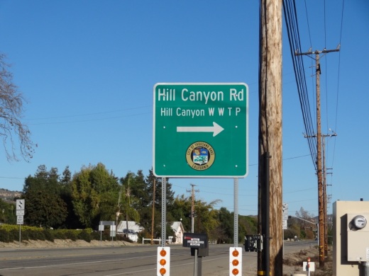
Sign on Santa Rosa Road at Hill Canyon (coming from Camarillo)

Parking area on Hill Canyon Road, as seen from the Canyon Overlook Trail leading to Lizard Rock.
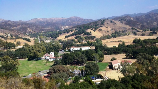
Park and you'll see the bridge just south, which takes you to the Hill Canyon Trail, a flat path that after a mile takes you to an intersection. At the intersection, you can turn around, go straight ahead to the Hawk Canyon Trail, take a right turn to the hilly Western Plateau Trail or veer left to make your way to the Arroyo Conejo Trail that ultimately takes you about 2 1/2 miles to the Rancho Conejo Playfields in Newbury Park.
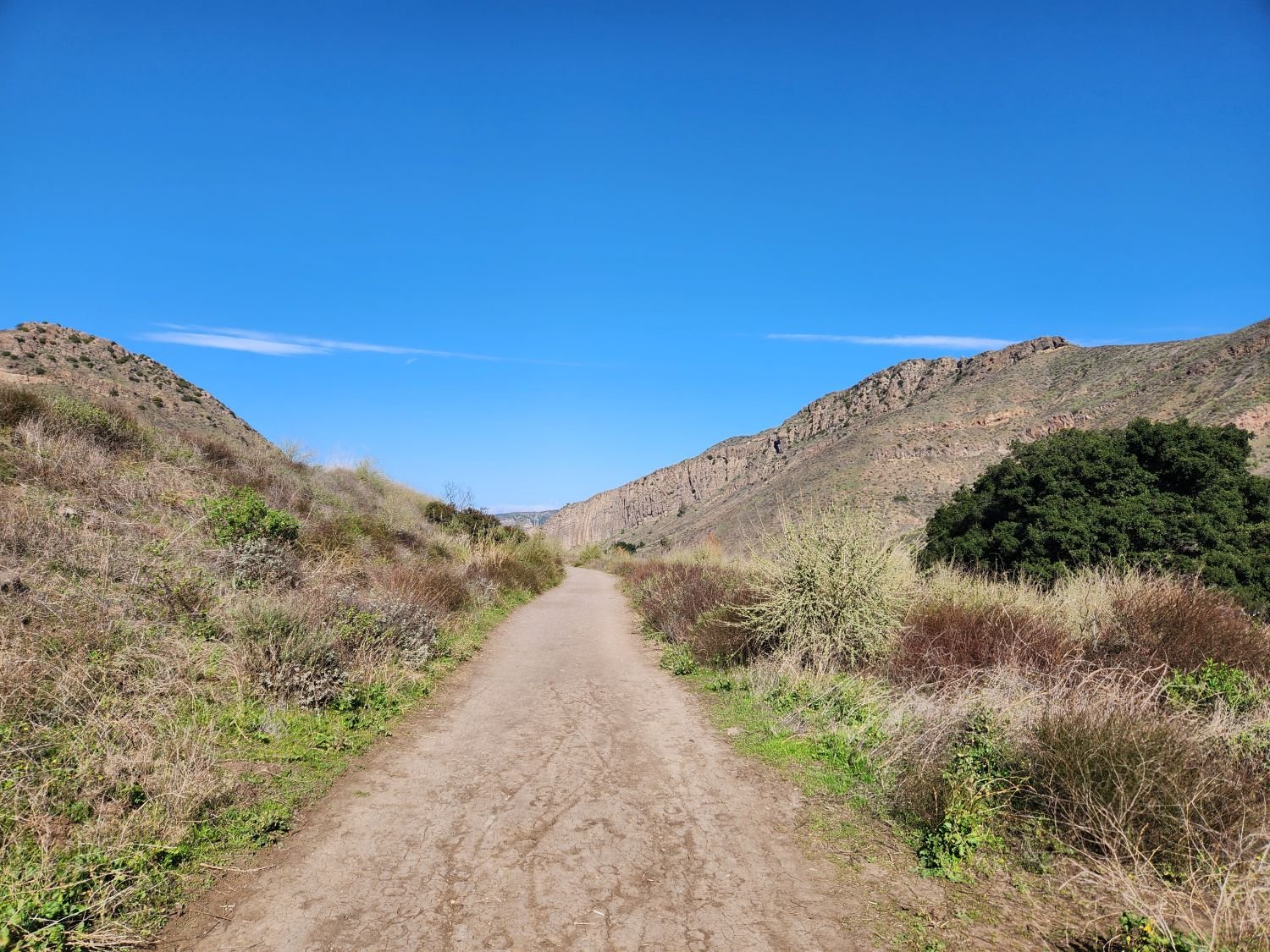
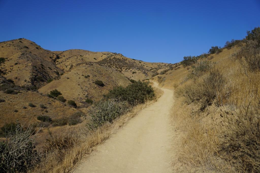
Hill Canyon Trail - one of the flatest trails in the Conejo Valley
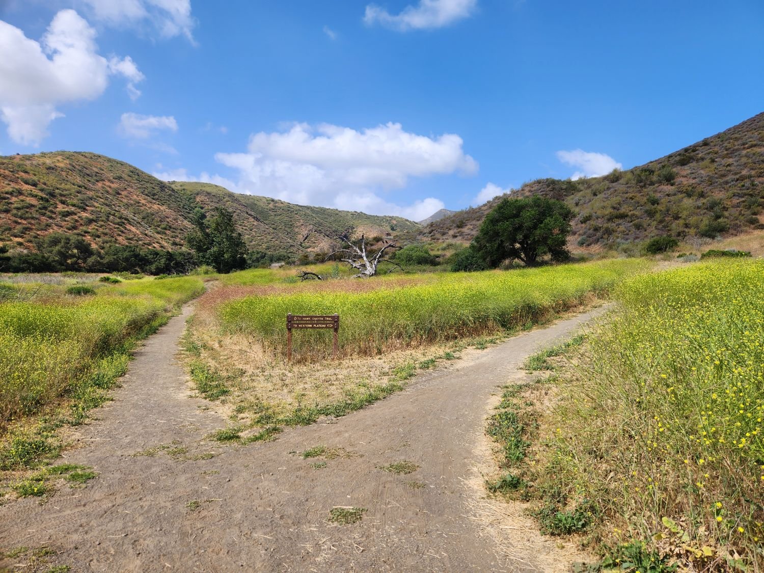
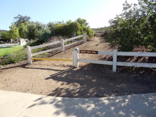
Fork in the Hill Canyon Trail - Straight ahead to the hawk Canyon Trail or right to the hilly Western Plateau Trail
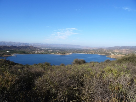
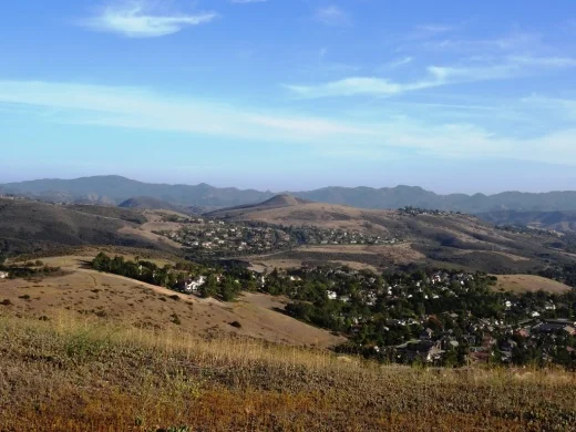
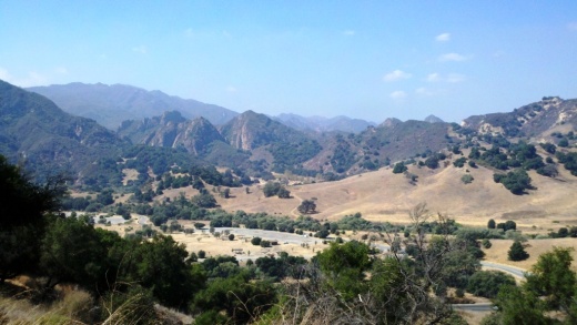
Or go west to the steep Canyon Overlook Trail, a zig zagging hill that takes you to Lizard Rock in Wildwood Park. The hill is a fun challenge with the kids and you'll be rewarded with great panoramic views towards Boney Mountain, Camarillo, Ojai and Simi.
In May 2024, the Conejo Open Space Conservation Agency premiered the new Conejo Canyons Bridge in this area, connecting Hill Canyon to the Western Plateau.
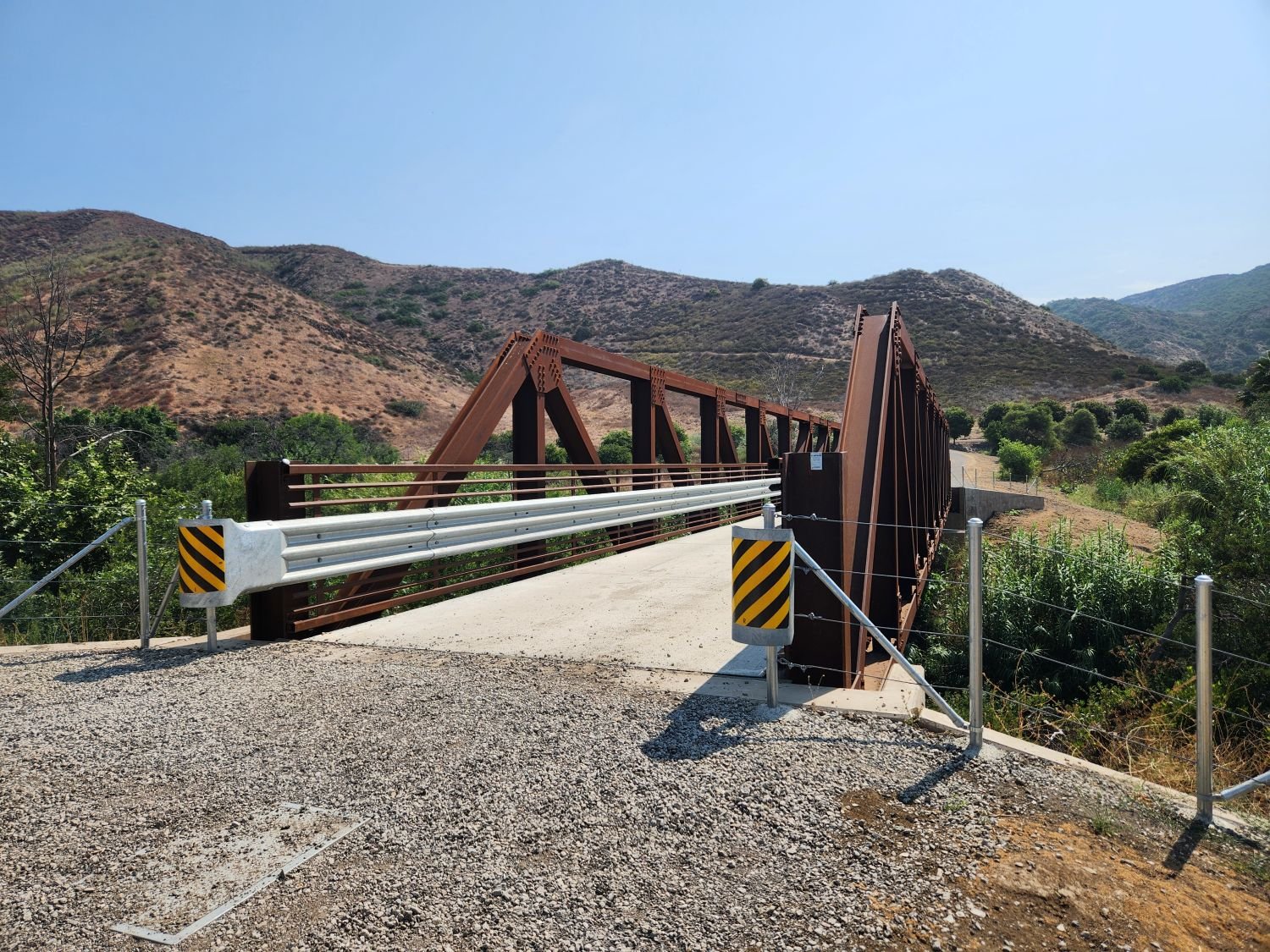
The Conejo Canyons Bridge was completed in May 2024, providing a connection between Hill CAnyon and the Western Plateau.