Powerline Trail to Edison Road to Conejo Mountain Peak in Newbury Park
/
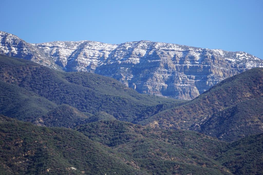
View of Boney Mountain range from midway up the Powerline Trail in Newbury Park.
While you're driving down the Conejo Grade from the Conejo Valley towards Camarillo, you may wonder what that mountain is south of the 101. This would be the 1,814 foot tall Conejo Mountain.
So how do you get up there?
There are no "official" marked trails to the peak of Conejo Mountain, but there are unofficial ways to get up there. One way that I'm aware of us via the Powerline Trail to Edison Road Trail in the Dos Vientos section of Newbury Park.
Get to the Powerline Trail trailhead located on Via Ricardo, west of Via Pisa. Park on the street. Or for added trail mileage, park at Dos Vientos Community Park and take the short (1/2 mile) Park View Trail until it ends at Via Ricardo, where you'll see a crosswalk to the Powerline Trail on the other side.
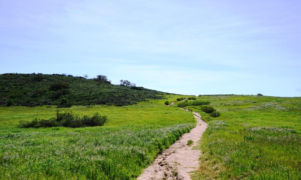
Follow the Powerline Trail on a single to double tract trail until it reaches the much wider Edison Conejo Mountain Road, marked by sets of power line transmission towers.
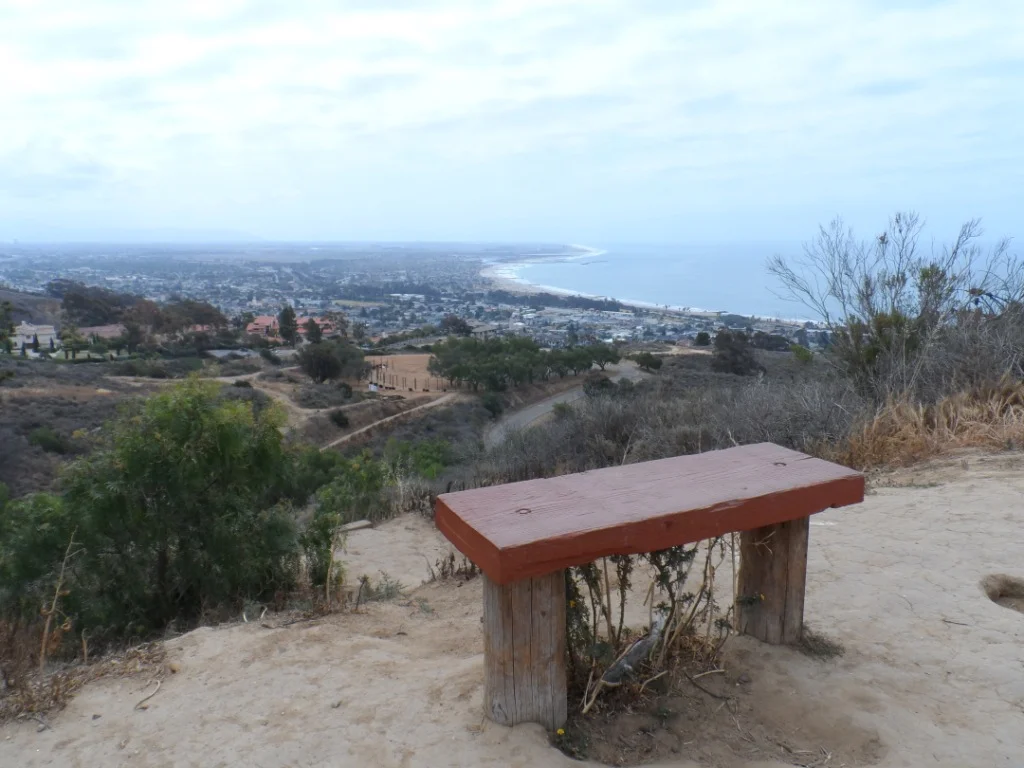
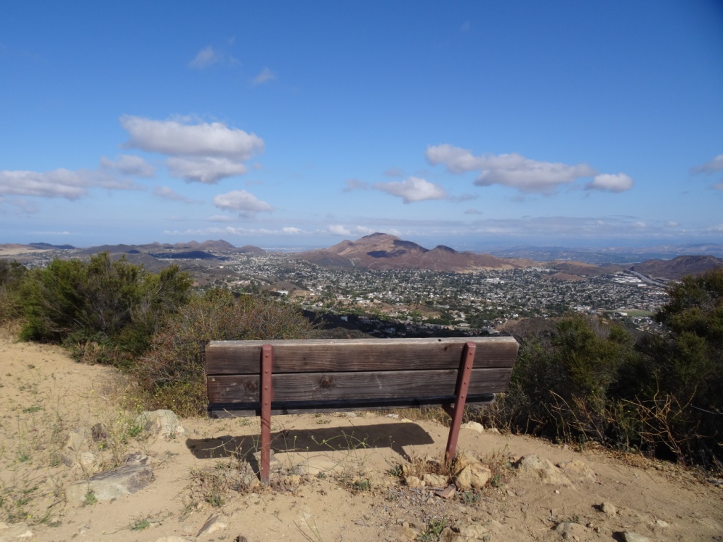
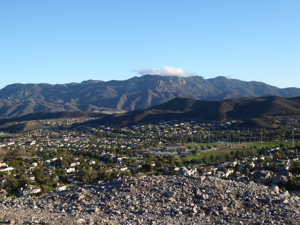
It is amazing how quiet it can get back here. This trail is a bit on the long, steep side and the mountain can get quite brown and barren. But the rock formations are pretty cool, and get more interesting the higher you climb. And the views are outstanding, from Boney Mountain to the south to the Channel Islands and Oxnard Plain to the west and Thousand Oaks to the east.

You will be passing by this anxiety-causing sign on the way up. Not to worry. Just a warning.
Now, pay attention, To find the path to the top of Conejo Mountain, count the pairs of transmission towers that you pass. The unmarked path is just above the 4th set of transmission towers, which is roughly two miles from the trailhead.
When I went, there was fairly large arrow formed with rocks that pointed in the direction of the path. Although it is not an official trail, you can kind of make out the path that has been cleared by hikers over the years. And there are some sections where it appears the path has been aligned by rocks.
In any case, although it looks difficult, it actually isn't that bad, as long as you take your time and watch your step. When you reach the top, you will have a clear birds eye view of the 101 on the other side.of the mountain.

When it greens up after the winter storms, it sure looks a lot prettier up here.

A clear view of Highway 101 from the peak of Conejo Mountain.

Clear, unimpeded views of Anacapa and Santa Cruz Islands from up here.