Over 25 Things to Do in Agoura Hills

Agoura Hills Sign.JPG

The City of Agoura Hills incorporated in 1982 and is part of Los Angeles County. But we consider Agoura to be part of our family, consisting of Thousand Oaks, Newbury Park, Westlake Village, Oak Park and other communities that form the Conejo Valley.

Agoura Hills has an area of 7.86 square miles, with a population of approximately 20,000. It became the 83rd city in Los Angeles County when residents voted to incorporate, just one year after neighboring city Westlake Village incorporated.

Here is a compilation of things to do in the City of Agoura Hills.

Trails and Hiking

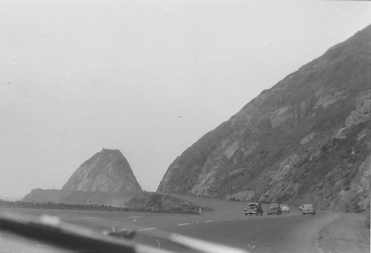
  • Malibu Creek State Park is an 8,000 acre wonderland of trails, hiking, camping and other outdoor activities. The Hike to the Rock Pool at Malibu Creek State Park is extremely popular. Equally if not more popular is the hike to the M*A*S*H television show set.

  • Cheeseboro/Palo Comado Canyons include 4,000 acres of terrain with dozens of miles of trails to explore in the northernmost section of the Santa Monica Mountain range. Popular with cyclists, runners and hikers.

  • Paramount Ranch, maintained by the National Park Service on Cornell Road in Agoura Hills, was used by Paramount Pictures for over 80 years of film and television production. Sadly, the Woolsey Fire in November 2018 destroyed the historic structures at the park. However, four new structures will be constructed by the fall of 2024.

  • The 64 acre Peter Strauss Ranch in Agoura Hills is also managed by the National Park Service and features hiking and an outdoor amphitheater area.

A "must do" in the Agoura Hills area is the hike to the old M*A*S*H TV series set in Malibu Creek State Park.

A "must do" in the Agoura Hills area is the hike to the old M*A*S*H TV series set in Malibu Creek State Park.

Kids

Fitness Related

  • The Agoura Hills/Calabasas Community Center is a 30,000 square foot facility with basketball courts, fitness studio, 35 foot rock climbing wall, dance/exercise studio, kids' programs and more. (Currently closed as of June 2023 as renovations will be made to the facility.)

  • Looking for some fresh air on the golf course but don't golf? That's ok, try FootGolf at the Lake Lindero Country Club in Agoura Hills. Quite fun and no experience necessary.

  • Other fitness and sports activities in Agoura Hills compiled at THIS LINK.

Ah yes, comic relief courtesy of Caltrans signmakers in 2013 when a new Agoura Hills sign on the 101 was put up filled with typos. It was subsequently corrected.

Ah yes, comic relief courtesy of Caltrans signmakers in 2013 when a new Agoura Hills sign on the 101 was put up filled with typos. It was subsequently corrected.

Other Entertainment, Things to Do and Annual Events

The old Agoura sign on Agoura Road at Lewis Road.

The old Agoura sign on Agoura Road at Lewis Road.

Closed: Troutdale was a local fishing pond for those looking for the experience of fishing but without the hassle of driving far! Located just off of Kanan Road, near Triunfo Canyon. It appears to be closed as of summer 2018.

The Ventura County Portion of State Highway Route 1 is Named "Ventura County Vietnam Veterans Memorial Highway"

California State Route 1 runs along most of the coastline of California and at 656 miles is the longest state route in California. The section of SR 1 between I-5 in Dana Point and the US 101 near Oxnard is designated Pacific Coast Highway.

Sign at the indicating the north end of southbound PCH, where it connects to Las Posas Road.

Sign at the indicating the north end of southbound PCH, where it connects to Las Posas Road.

In 2002, the state assembly voted to designate the section of State Highway Route 1 in Ventura County as the “Ventura County Vietnam Veterans Memorial Highway” in gratitude and appreciation for the sacrifices California Vietnam veterans.

VC Vietnam Veterans Highway1.JPG

That same bill also designated the portion of State Highway Route 126 between the City of Santa Paula and State Highway Route 101 as the Korean War Veterans Memorial Highway.

Northbound PCH Just South of Mugu Rock: 1950 and 2019

Mugu Rock came into existence in 1940 when a 200 foot cut was made into the mountain. Today it is an iconic scene that is often seen in auto commercials.

Taken on July 2, 1950, this is a view of Mugu Rock from the shoulder of northbound Pacific Coast Highway (SR 1). From a private collection. And below it is the same view, remarkably similar, 69 years later, on April 20, 2019. Thankfully, some things never change.

Mugu Rock 7.2.50.jpg
Mugu Rock 4.20.19.JPG

U.S. 101 in Ventura County is Designated "The Screaming Eagles Highway"

Screaming Eagles Sign.JPG

As you drive U.S. Route 101 northbound in the Conejo Valley just past the Westlake Boulevard offramp, you’ll see a sign that says "The Screaming Eagles Hwy 101st Airborne Division."

The sign was authorized by Assembly Concurrent Resolution No. 54 (ACR-54) Screaming Eagles Highway: 101st Airborne Division, in 2003.

The 101st Airborne Division ("Screaming Eagles") is a specialized modular light infantry division of the U.S. Army trained for air assault operations. It was formed in World War I on July 23, 1918 and has been involved in every major U.S. war since then.

The 101st Airborne Division was instrumental in the success of the D-Day Invasion, the Operation Market Garden in Holland, in Bastogne for the Battle of the Bulge, in Vietnam for Operation Nevada Eagle, and in many other courageous missions worldwide. 

In recognition of the 101's significance for military personnel of the 101st Airborne Division, the Assembly designated the 44 mile section of the 101 in Ventura County as the Screaming Eagles Highway.

The sign was unveiled in September 2005. The same sign is placed on the southbound 101 just south of the Bates Road offramp on the Ventura/Santa Barbara County border.

Casita Valdez Mexican Restaurant Operated in Thousand Oaks From 1961 to 1979

(Image courtesy of Conejo Through the Lens, Thousand Oaks Library.)

Louie and Dee Valdez opened Casita Valdez out of their home at 159 E. Thousand Oaks Boulevard, Thousand Oaks, in 1961. It was expanded in 1963 by converting the garage into a dining area, then the adjacent home was acquired to further expand the popular Mexican eatery. It was remodeled as seen here in 1975. It operated until 1979, when it was sold to Henry Valdez (not related to Louie and Dee), owner of Enrique's Mexican Restaurant in Van Nuys. Enrique's Mexican Restaurant operated until 2009. Tipsy Goat opened here on March 17, 2011. And there you have the history of 159 E. Thousand Oaks Boulevard.

Alaska Airlines Flight 261 Sundial Memorial at Hueneme Beach in Port Hueneme

Just 25 miles west of Thousand Oaks is Hueneme Beach Park, a beautiful 50 acre park on the beach with a fishing pier, bike/walking paths, volleyball, picnic tables, BBQ pits, the Surfside Seafood snack bar and more.

24 hour fishing pier at Hueneme Beach Park

24 hour fishing pier at Hueneme Beach Park

One other feature at Hueneme Beach is the Alaska Airlines Flight 261 Sundial Memorial that commemorates the 88 passengers and crew who lost their lives aboard Alaska Airlines Flight 261 near Anacapa Island on January 31, 2000. The flight was en route from Puerto Vallarta, Mexico to San Francisco and Seattle.

The Memorial features a 36-foot diameter concrete plaza with a curving sand wall and seating area and a raised sundial in the center.

The Memorial features a 36-foot diameter concrete plaza with a curving sand wall and seating area and a raised sundial in the center.

The Memorial features a 36-foot diameter concrete plaza with a curving sand wall and seating area and a raised sundial in the center. The monument was designed by by well known Santa Barbara sculptor James “Bud” Bottoms. The sundial’s bronze dolphins and triangular blade (gnomon) cast a shadow on the 20-foot diameter dial face oriented to Pacific Standard Time. Names of each of the victims are inscribed on individual bronze plates mounted on the perimeter of the dial.

AlaskaAirMemorialHueneme.jpg

The crash site is located between the mainland at Port Hueneme and Anacapa Island, one of the smallest islands in the Channel Islands chain, 14 miles offshore. Families of the lost passengers and crew dedicated the sundial as both a memorial to their loved ones and a work of public art in gratitude to the residents of Port Hueneme for their compassion and tireless assistance in the recovery effort. This is a touching and lasting tribute to those who lost their lives on this flight.

Access the Sundial Memorial from Hueneme Beach parking lot B off Surfside Drive near the gazebo. More details at www.ci.port-hueneme.ca.us/index.aspx?nid=930.

BEACHES SPANNING FROM CARPINTERIA TO MALIBU

Throwback: Lupe's Mexican Restaurant in Thousand Oaks

Lupe's Mexican Restaurant operated at 1710 E. Thousand Oaks Boulevard for 69 years. Martha Zuniga opened the original eatery, Lupe's Mexican Cafe, in 1947. It was named after her 3rd daughter.

The popular eatery was rebuilt and enlarged in 1965 and again in 2009, when it was expanded from 1500 sq ft to 3100 sq ft. Martha passed away in 1997. Lupe continued operating the restaurant until the property was sold in 2016. When it closed, it was the oldest continuously operating eatery in the Conejo Valley and one of the five oldest eateries in Ventura County.

Today, 1710 on The Blvd is a mixed use property with 36 townhome-style apartments and Denino's Pizzeria.