Wildwood Park in Thousand Oaks
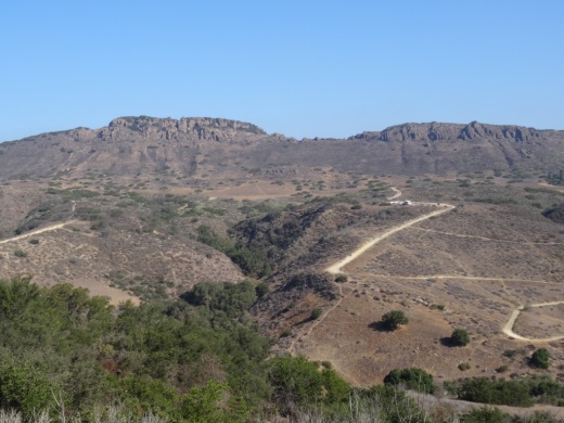
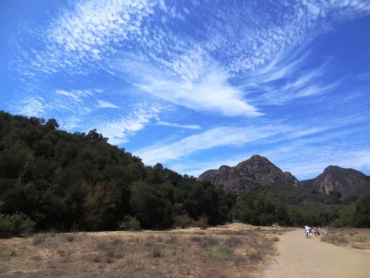
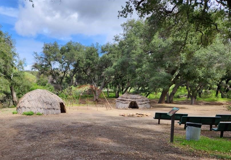
/The main entrance into the 1,765 acre Wildwood Park is at the corner of Avenida de los Arboles and Big Sky Drive in Thousand Oaks. The Chumash Indians lived in Wildwood Park for nearly 8,000 years, until the early 19th century, when the Spanish colonized California. Eventually the park became owned by the Janss Corporation, which sold it to the Conejo Recreation and Park District in 1967.
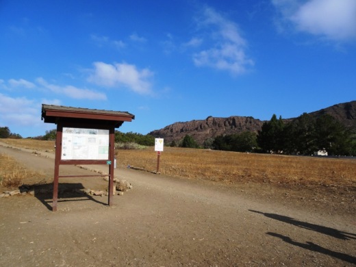
Main trailhead accessible from the parking lot at Ave de los Arboles and Big Sky.
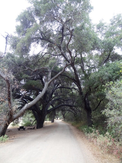
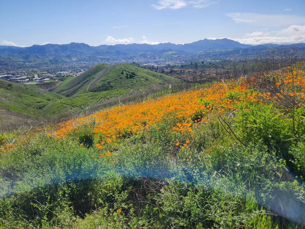
Wildwood Park is an extremely popular hiking and cycling spot and CRPD frequently hosts nature hikes there. The park has 14 trails covering 17 miles, including two year-round waterfalls, Paradise Falls and Little Falls. Wildwood is known for its spring wildflower displays from January to June.
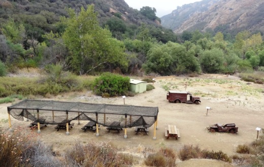
The park hosted a number of movie/TV productions in the 1930s to the 1960s, including Spartacus, Wuthering Heights, Wagon Train, The Rifleman and Gunsmoke.
The following links provide additional details for a variety of hikes in Wildwood Park:
HIKE TO THE TEEPEE, LITTLE (FORMERLY INDIAN) CAVE AND PARADISE FALLS IN WILDWOOD PARK
LIZARD ROCK HIKE IN WILDWOOD PARK
SANTA ROSA LOOP HIKE IN WILDWOOD PARK
TWO SPRINGS (FORMERLY INDIAN CREEK) AND WILDWOOD CANYON TRAILS
LIZARD ROCK, PARADISE FALLS, TWO SPRINGS LOOP HIKE
SANTA ROSA TRAIL AND LOWER BUTTE TRAIL FROM WILDWOOD PARK TO CLU
Call the CRPD at 805.495.2163 for more information about the park. But for lots of detailed information about Wildwood Park, including trail maps and pictures, visit the Conejo Open Space Foundation website at cosf.org/trails/wildwood.
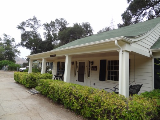
As far as facilities in the park, there are drinking fountains at the main parking lot as well as at the Teepee, at Paradise Falls and the two restroom areas in the park. One of the restrooms are located at Meadows Center, a small building located across the bridge that is adjacent to the short trail to Little Cave. CRPD often hosts short hikes from the main parking lot to Meadows Center for fun, games and s'mores.
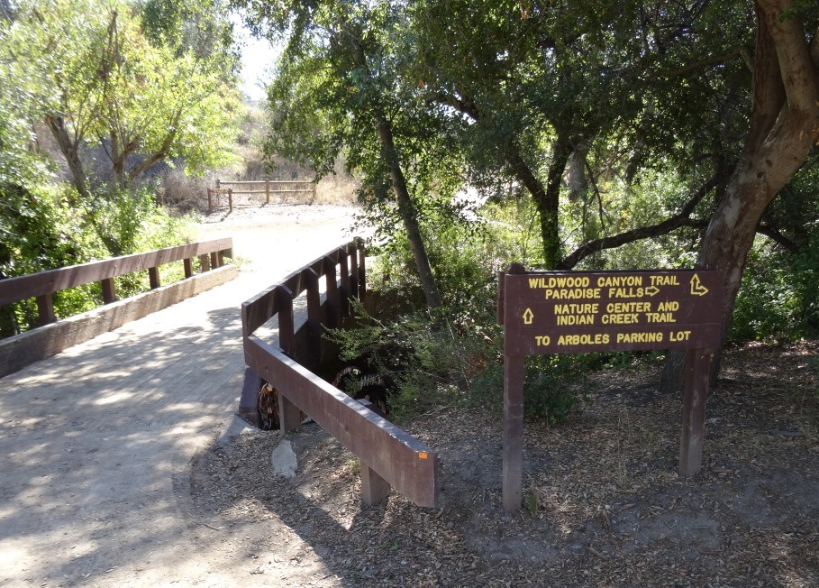
Bridge over creek that connects Wildwood Canyon Trail to Meadows Center, which has restrooms and a drinking fountain.
The other restrooms are at the bottom of Wildwood Canyon. You can get there by taking the Tepee Trail roughly 1/2 mile to the bottom of the canyon, or alternatively from Paradise Falls about 1/4 mile down the Wildwood Canyon Trail. The Arroyo Conejo Creek runs down from Paradise Falls to here and is fun to explore (keeping in mind still that this is partially urban runoff and thus you don't want to play around in it too much).

Additional restrooms at the bottom of Wildwood Canyon.
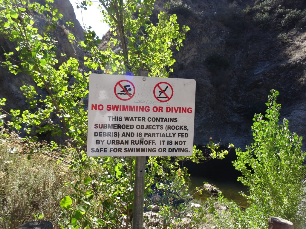
Sign at Paradise Falls indicating this particular water is partially urban runoff and best not to swim in.