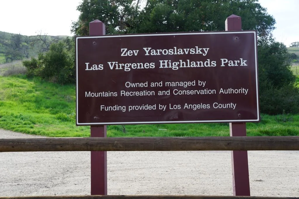
Hike to the Danielson Monument in the Boney Mountain Wilderness
/One of the more popular and challenging hikes in the local area takes you from the Rancho Sierra Vista/Satwiwa Recreation Area in Newbury Park to the Danielson Monument in the Boney Mountain Wilderness (Point Mugu State Park).
It is about 5.5 miles round trip and has a net elevation gain of about 600 feet. The Monument is close to 1,500 feet in elevation This is a fairly challenging trail as roughly two thirds of the hike you are going up and down fairly substantial hills. That said, I've seen hundreds of folks on these trails of all fitness levels and ages doing it at their own pace.
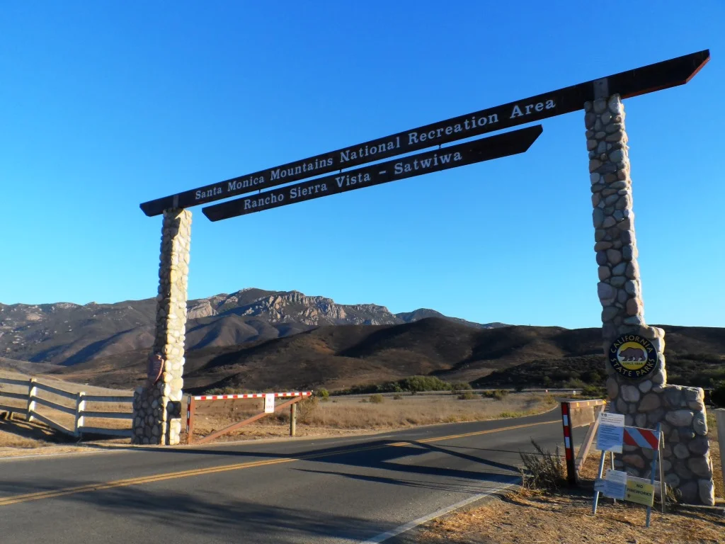
Entrance into Rancho Sierra Vista/Satwiwa at Lynn Road and Via Goleta in Newbury Park
Starting at the Satwiwa Native American Culture Center, make your way to the Danielson Road trail by either taking the Big Sycamore Canyon Fire Road (paved) south for roughly .3 mile and then a left on Danielson Road (trail) or take the Satwiwa Loop Trail that runs diagonally southeast until you reach a fork on the trail.
(Note: You can also park at the trailhead at Wendy and Potrero Roads and add another few miles to your trek.)

Sycamore Canyon Road southbound towards Point Mugu State Park from Satwiwa Center

Veer right (south) at the juncture of the Danielson Road and Satwiwa Loop trails towards a bench that overlooks Sycamore Canyon. This is called the Upper Sycamore Canyon Overlook.
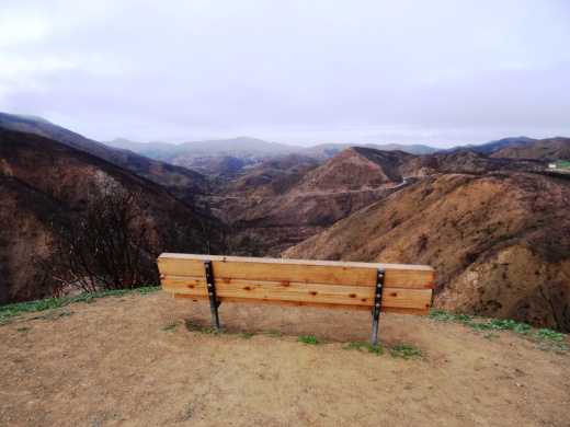
The bench at the Upper Sycamore Canyon Overlook in Rancho Sierra Vista
The short, rocky trail eastbound from there (behind the bench) takes you to another fork, where you can either veer left to the Hidden Valley Overlook trail (part of Rancho Sierra Vista/Satwiwa) or right into the Boney Mountain Wilderness. (Note that dogs and bikes are not allowed in the Boney Mountain Wilderness.)
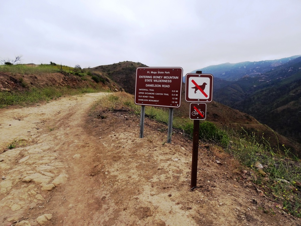
Entering the Boney Mountain Wilderness
After a steady descent of about another .4 mile, you'll see another sign. Continue towards the left. On the right is the Upper Sycamore Canyon Trail, kind of a fun, winding trail at the bottom of the canyon. Save that for another day.

In non-drought years, there is often a creek you may need to walk through as you continue on Danielson Road. It has been years since the stream was of any significance but it was back in February 2017 after recent rainstorms. But it is generally easy to get across.
After navigating the narrowest portion of trail, you will see a juncture. The unmarked "Waterfall Trail" is straight ahead (only about 120 steps to the "Waterfall" when there's not a severe drought). You can check it out as it is such a short distance. But to get to the Monument, veer sharply right, continuing up Danielson Road.
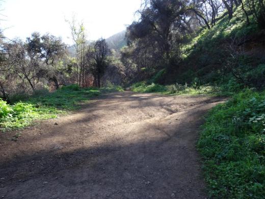
Juncture of Waterfall (straight ahead) and Danielson Road (to the right)
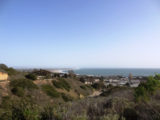
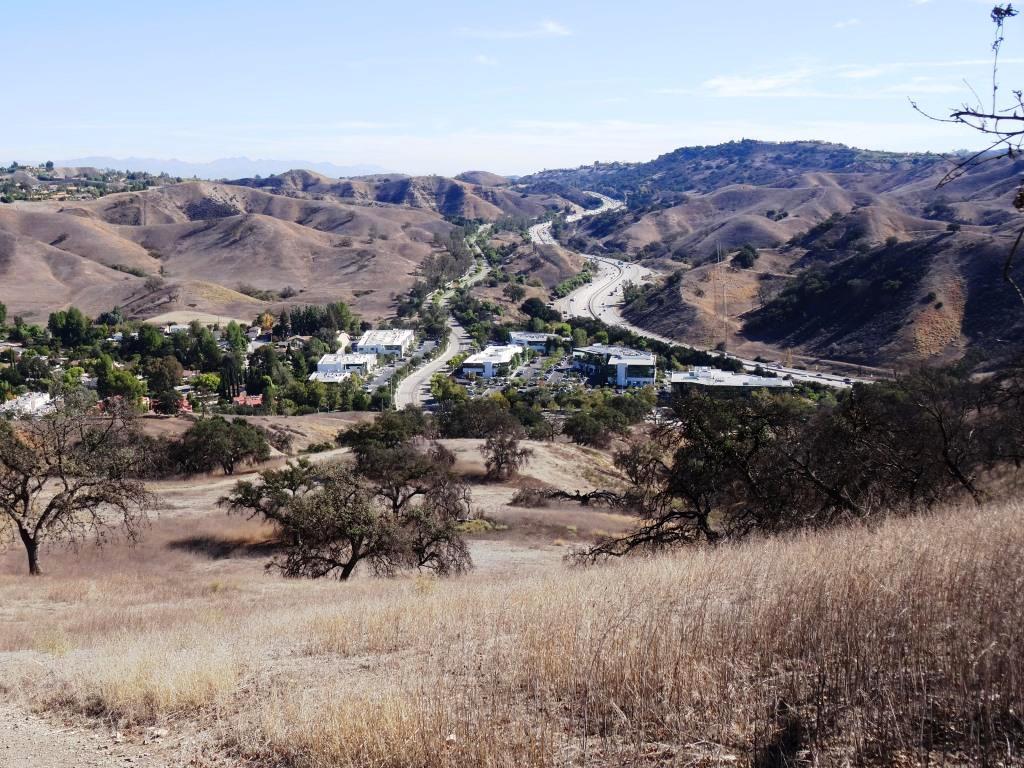
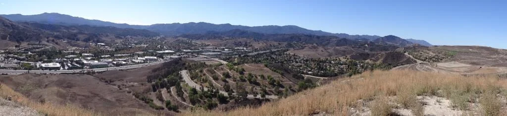
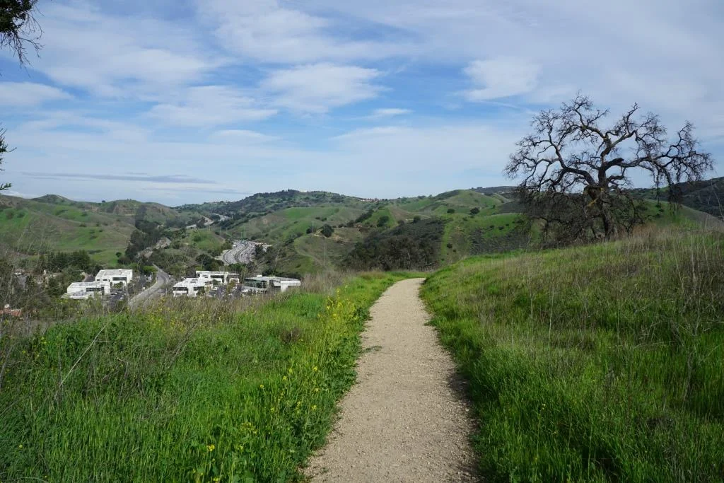
This is a long, grinding, uphill trail of about a mile until you get to a juncture where you can make a right-hand turn to the Old Boney Trail. As you make your way up, you'll be treated to great views from Sycamore Canyon to Newbury Park and beyond.
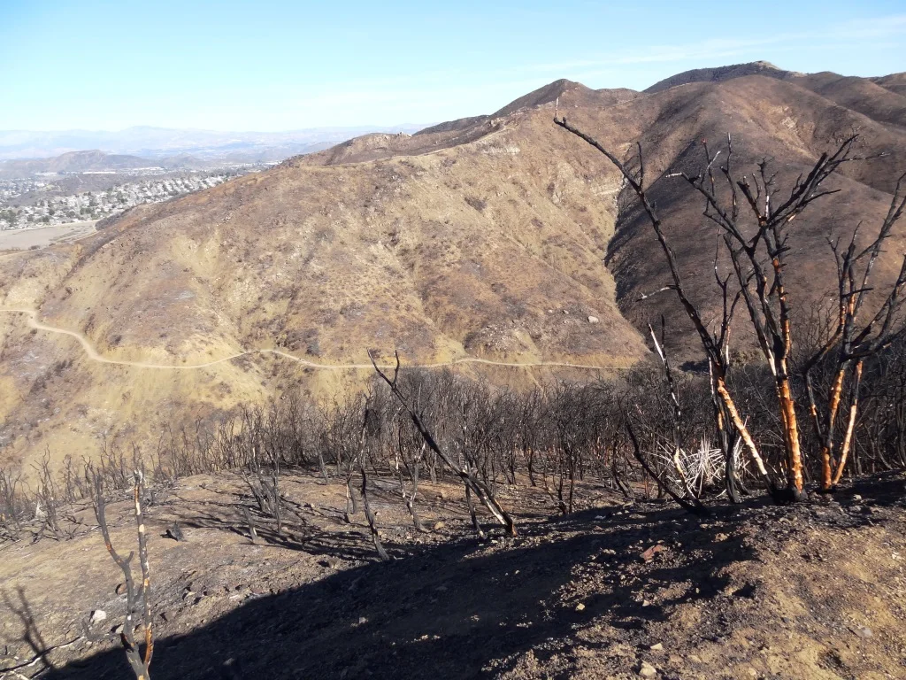
This is a bit of a dried out view from Upper Danielson Road looking down from where we came from in 2015.

You're almost there once you see this Old Boney trail sign - just .3 mile to go
Continue straight on Danielson Road. There are some areas coming up that periodically get overgrown. Watch out for poison oak particularly in these areas, continuing on to the Monument. In .3 mile, you're reached your destination.

The Danielson Monument is a tribute to Richard Ely Danielson, Junior who lived on the 7,800 acre Rancho Sierra Vista after purchasing the land from the estate of Carl H. Beal in 1947 for roughly $500,000. Danielson lived on the ranch for over three decades with his family. He donated 5,585 acres of the ranch to the State of California, which became part of Point Mugu State Park, and sold 850 acres, including the horse ranch, to the National Park Service in 1980. He passed away on December 27, 1988.
Ranching in the area dates back to the early 1800s, when Spanish soldiers were granted 48,672 acres of land, "Rancho El Conejo," which through the years was subdivided and sold to other landowners. One of these ranchers was Carl Beal, who in 1937 named the area Rancho Sierra Vista "Mountain View Ranch."
The Monument is in a peaceful setting, surrounded by trees. And it stays fairly green up here. A good place to eat lunch or sit and relax. Adjacent to the Monument is a remnant of Danielson's cabin - the chimney. If you continue up this path to the right, you can get to the top of Boney Mountain.

Remnant of Danielson's cabin adjacent to the monument - a chimney.
One thing I've never seen in my decades on this particular trail are strollers. I think strollers would be a bit of a challenge for many due to rocky and narrow sections, periodic overgrowth and poison oak on the sides of a small portion of the trail and, when we're not in a drought, a stream crossing.