Long Canyon Trail in Simi Valley
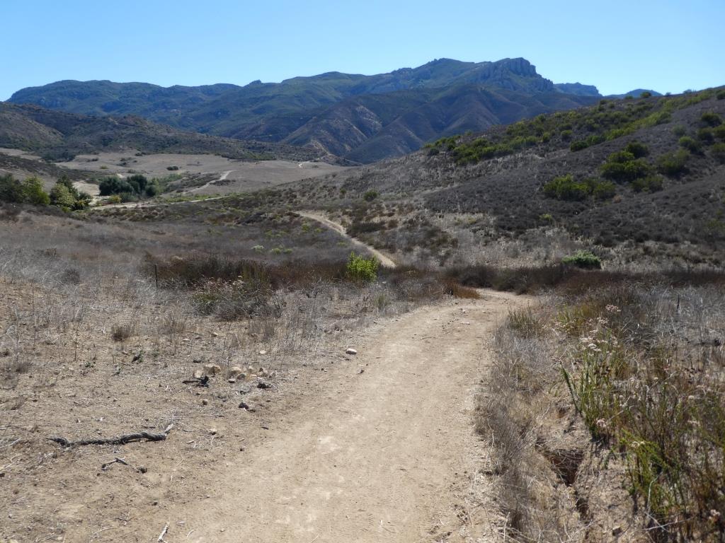
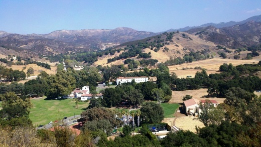
/Long Canyon Trail is an easy to hike trail in the Wood Ranch section of Simi Valley, located at the corner of Wood Ranch Parkway and Long Canyon Road (take Wood Ranch Parkway south until it ends, and turn right into the parking lot). It is quite a peaceful place to do some light hiking with the family. And the views as you can see are beautiful.
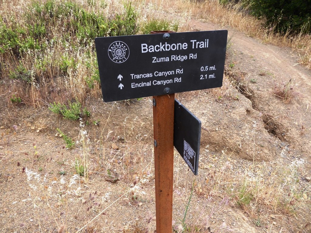
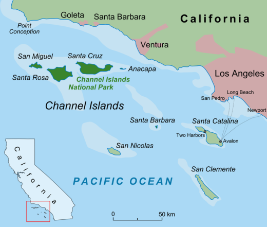
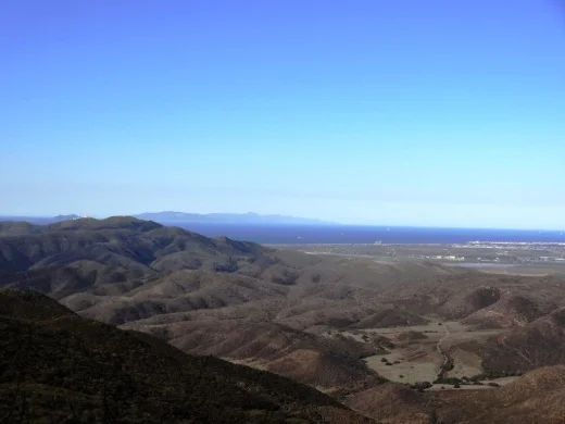
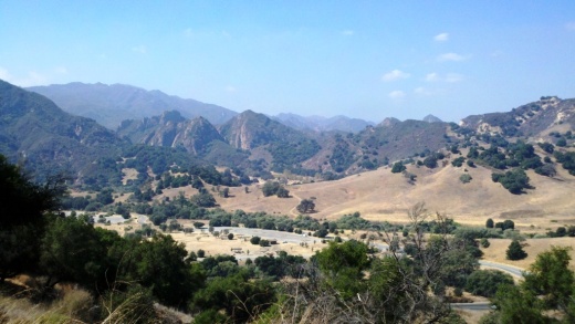
About a .7 mile hike to the top of the canyon connects you with the Lang Ranch / Woodridge Open Space in Thousand Oaks. Great views from the top towards Simi Valley, Thousand Oaks and beyond, towards the Channel Islands on clear days.


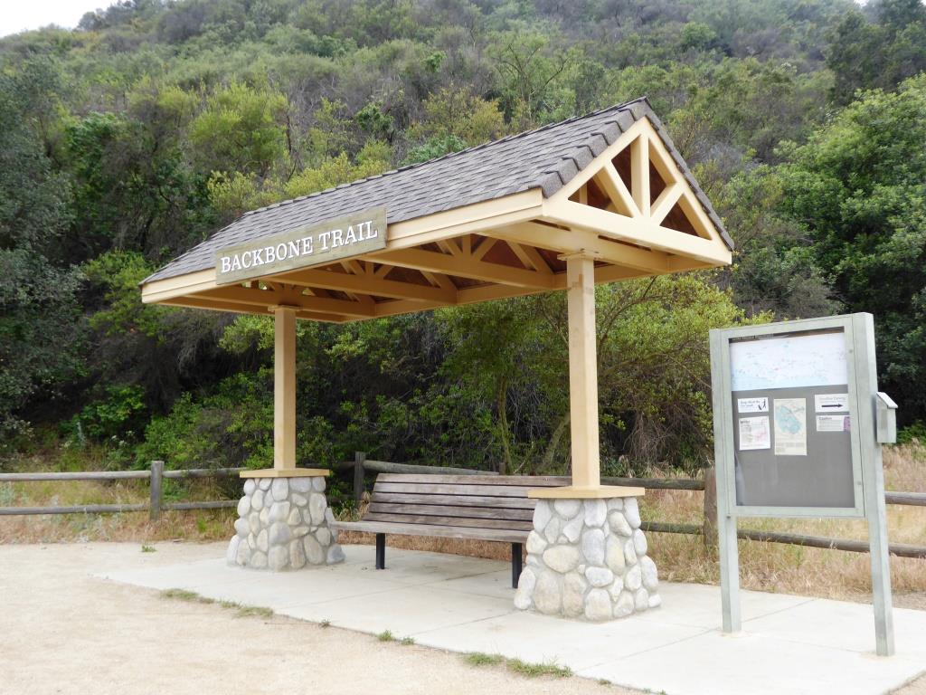
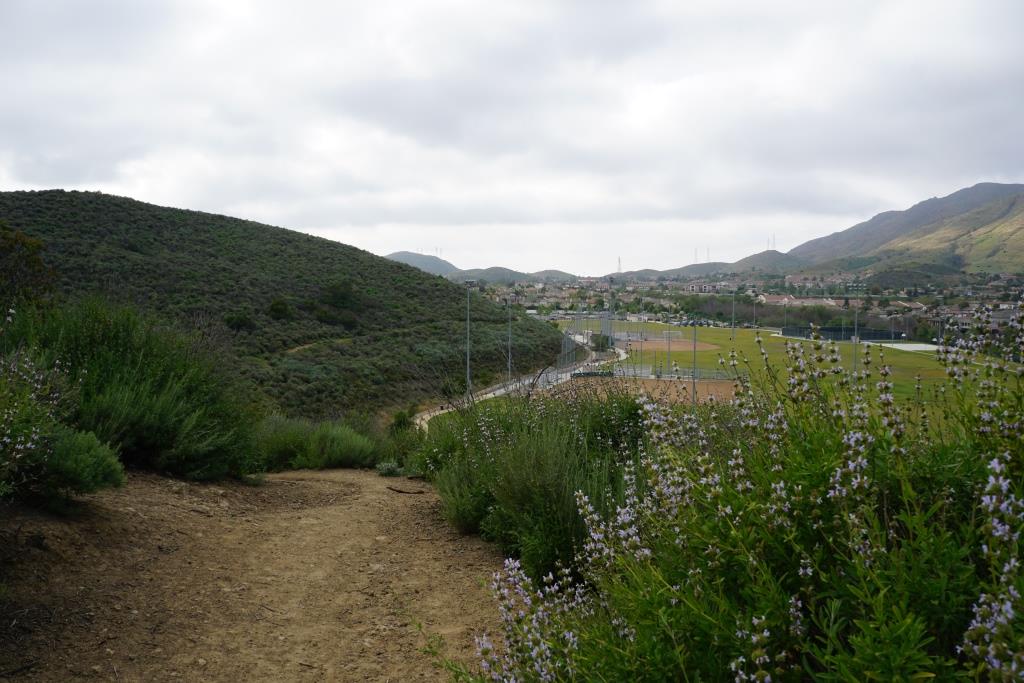
Technically I believe this bench is in the Lang Ranch/Woodridge Open Space in Thousand Oaks, which connects with the Long Canyon Trail. Nice view here towards Simi Valley.